- India’s coastline length has been revised from 7,516.60 kilometres to 11,084.50 kilometres.
- The increase is mainly due to a change in calculation methodology and scale.
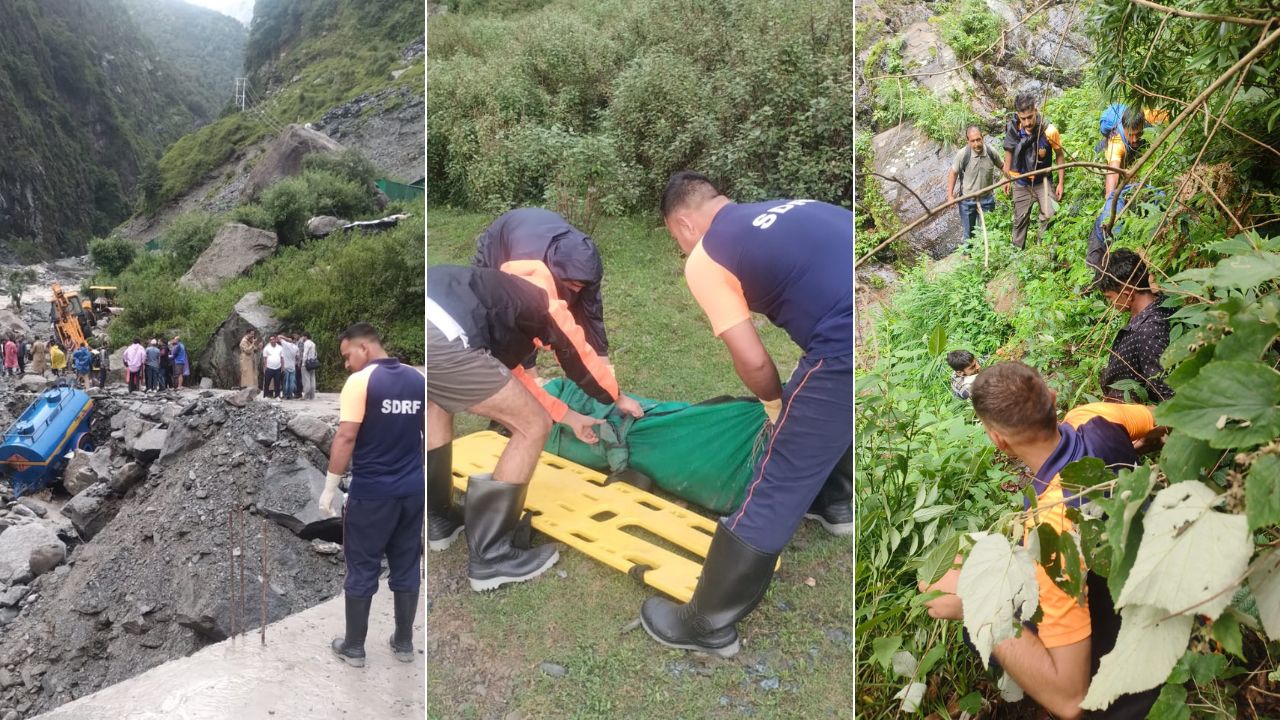
- The revised coastline could pose challenges for coastal regulation and understanding vulnerability across the coast.
A new calculation of India’s coastline — revised for the first time since the 1970s — has deemed it to be 3,568 kilometres longer than previously thought, with possible implications for maritime security and assessing coastal vulnerability. The government now plans on reviewing the length of the coastline every 10 years, according to a government circular issued on April 29.
India’s coastline length has been revised from 7,516.60 kilometres to 11,084.50 kilometres, marking an increase of approximately 47%. The increase is mainly due to a change in calculation methodology and scale. The coastline has now been measured at a scale of 1:250,000 compared to 1:4,500,000 which was used earlier, the circular says. “We now have more advanced satellite technology and aerial photography, so maps are available on the 1:250,000 scale which allows us to calculate the shoreline more accurately,” said Upkar Pathak, Superintending Surveyor at the Survey of India, which conducted the mapping exercise.
“The larger the scale of map, greater may be the outcome of the length,” informs the circular, adding, “This is because larger scale data capture more intricate details like bays, inlets, and minor irregularities that are smoothed out at smaller scale data. Further, conventional/manual methods might have been used for the computation of the 1970 data whereas modern GIS software have been used for the computation of the re-verified data.”
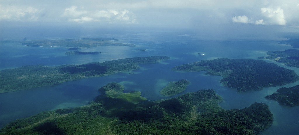
The updated length was calculated from the high water line (the point up to which the water reaches during high tide) with 2011 data from the National Hydrographic Organisation’s Electronic Navigation Charts. The revised length also includes inshore islands that join the mainland but were previously shown to be offshore, as well as those that join the mainland during low tides or are connected by road and rail. India has a total of 1,389 islands, the circular says — 91 that are inshore and 1,298 that are offshore.

According to Sayantan Haldar, Research Assistant at ORF’s Strategic Studies Programme, the revised coastline puts India’s maritime identity and security into focus, with the length of India’s coastline almost touching shoulders with the country’s terrestrial border (15,106 kilometres). The decision to revise the coastline was first deliberated by the Coastal Protection and Development Advisory Committee (CPDAC) in 2010, and was finally approved and finalised at the behest of the National Security Council Secretariat in 2023.
“A lot of national security thinking has been directed towards our terrestrial borders for historical reasons, including the kinds of threats we’ve faced,” said Haldar. “The acknowledgement that we have such a long coastline also has vital ramifications on the kind of national security framing that we ought to make. The revised length makes a case for improving resilience along the coast, which includes both adaptation and national security concerns,” he added.
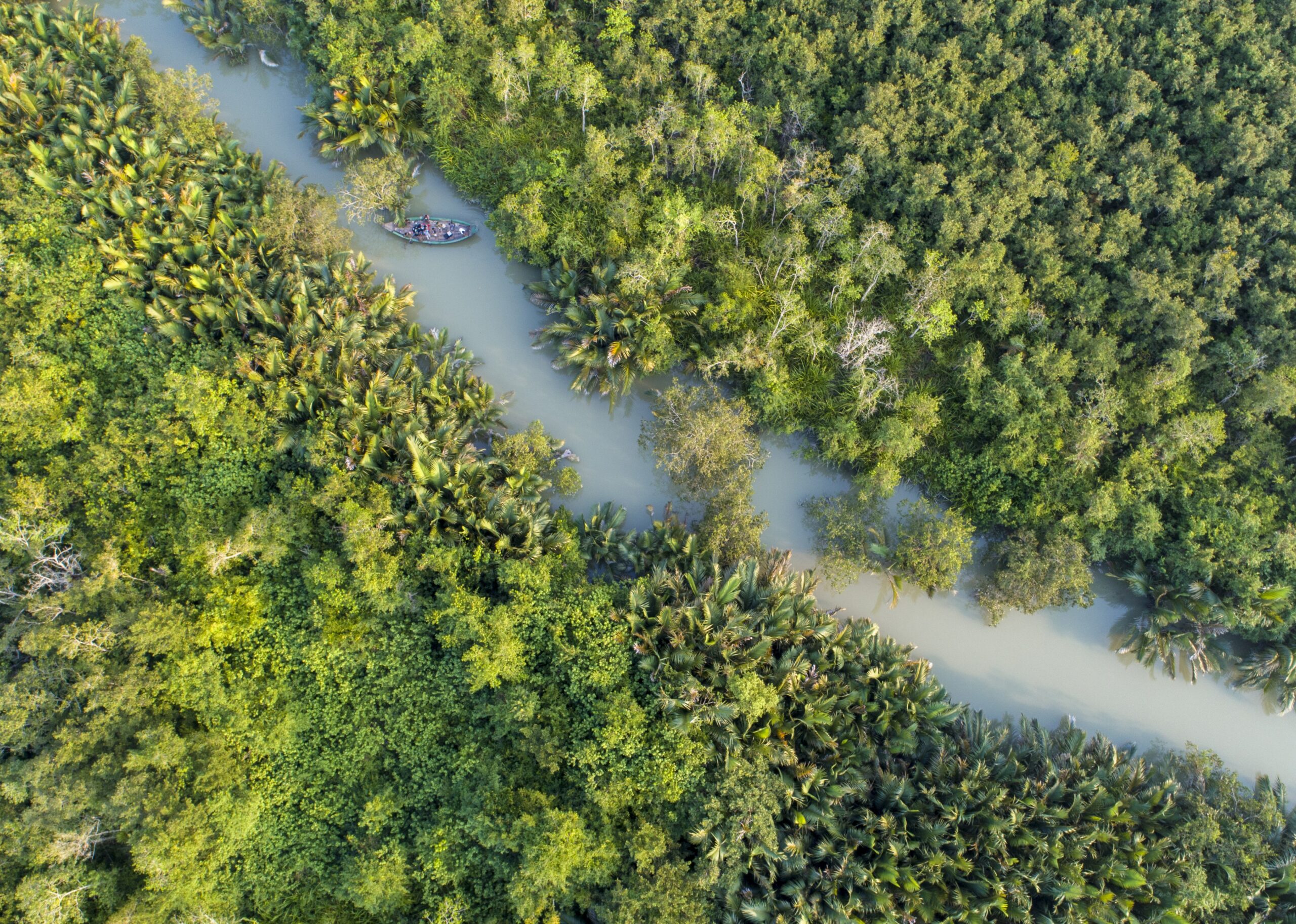
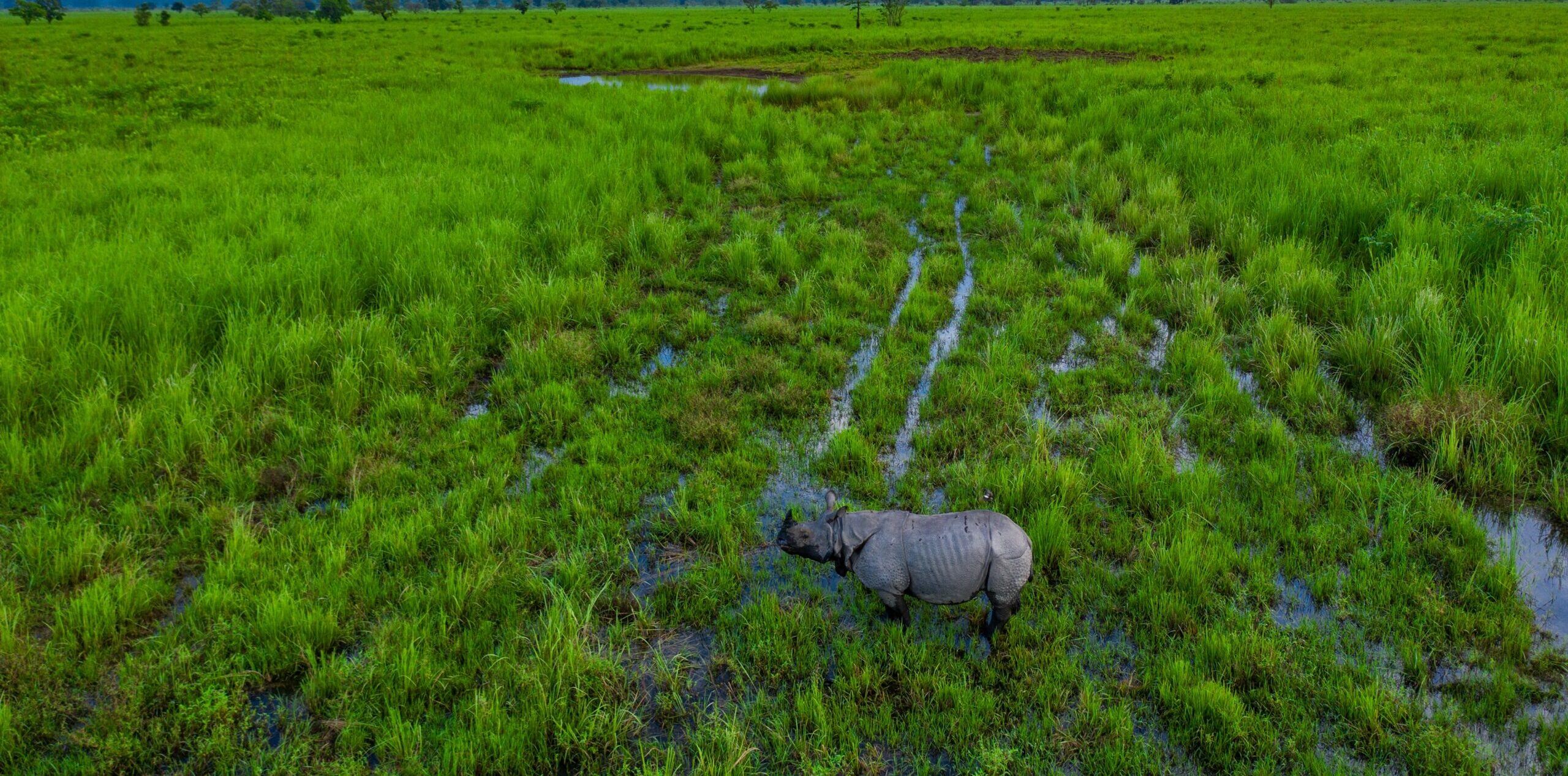
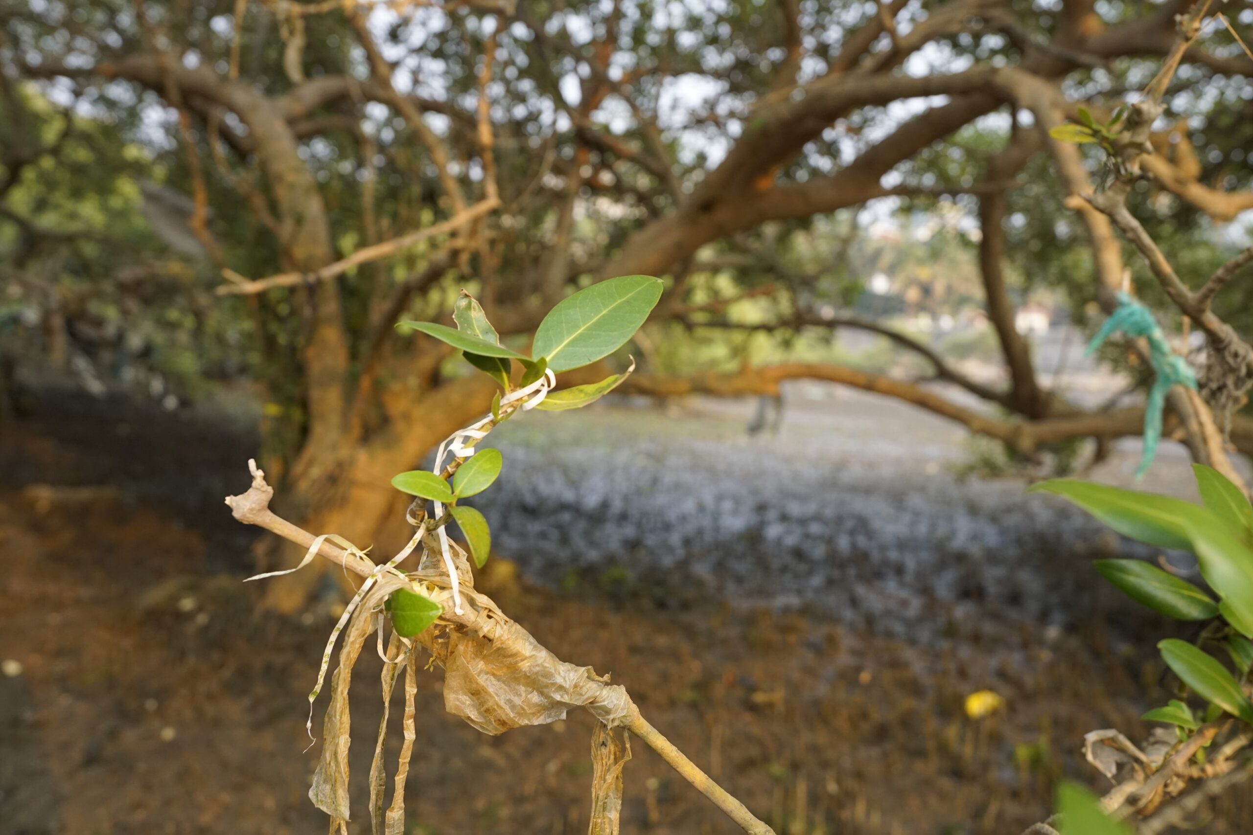
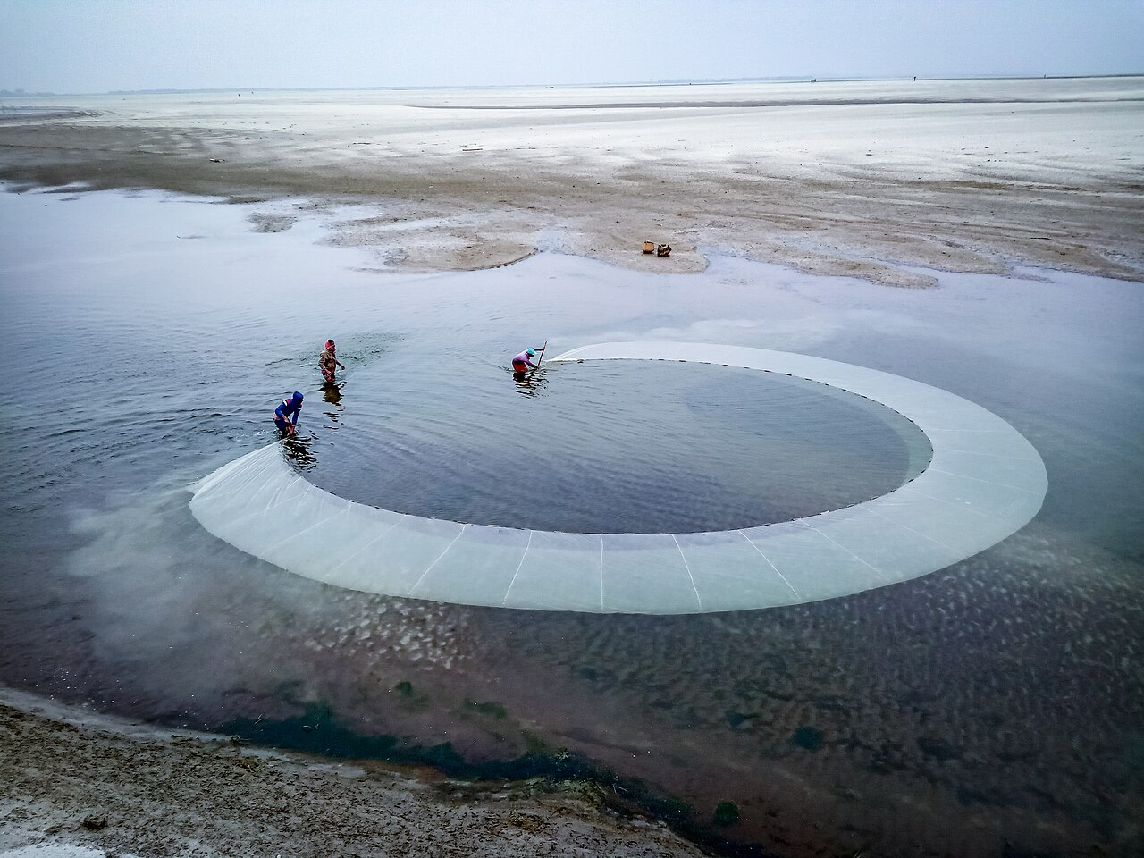
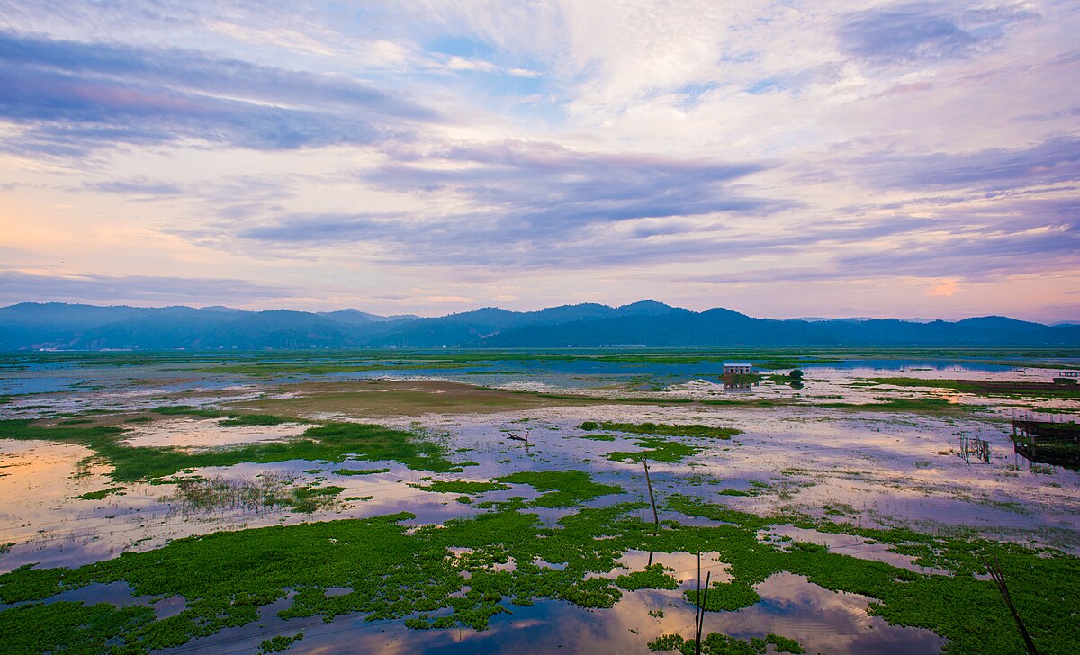
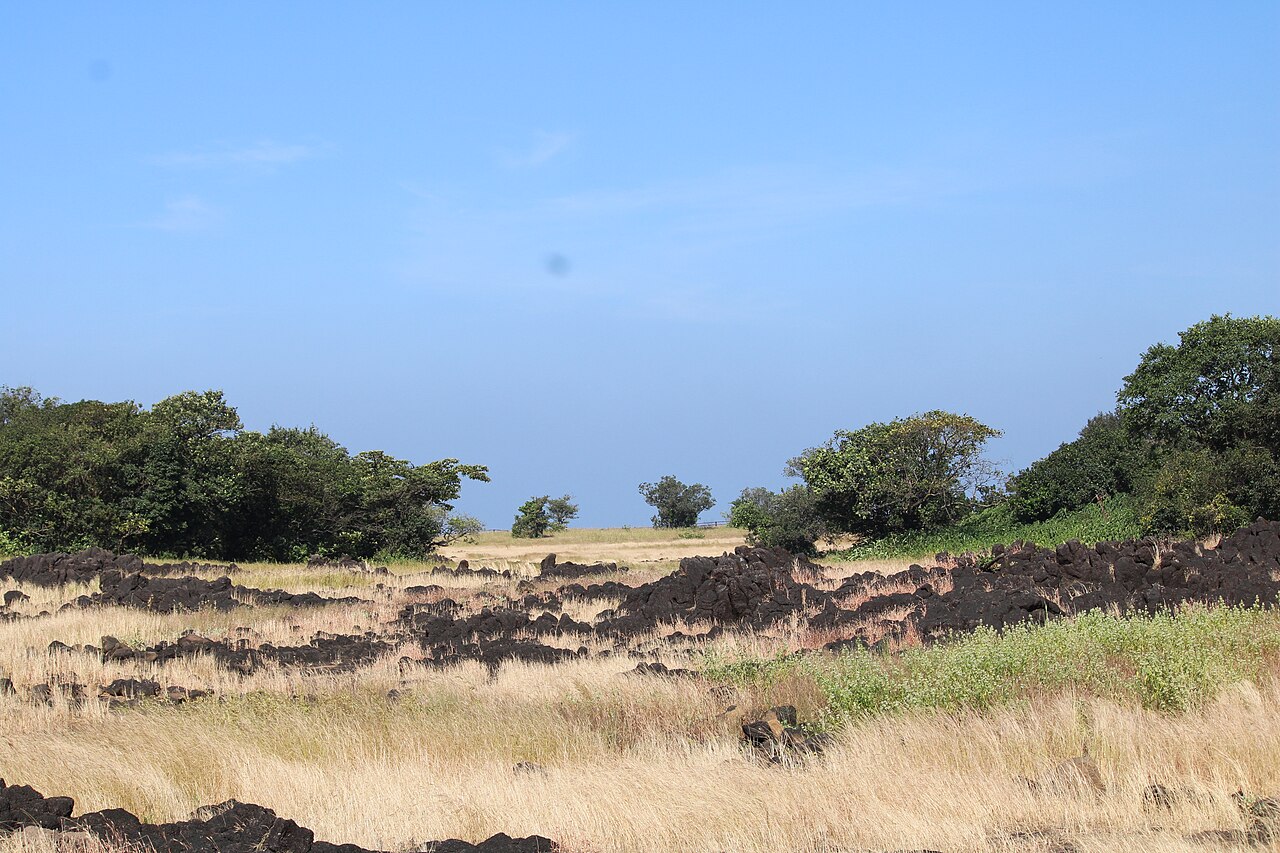
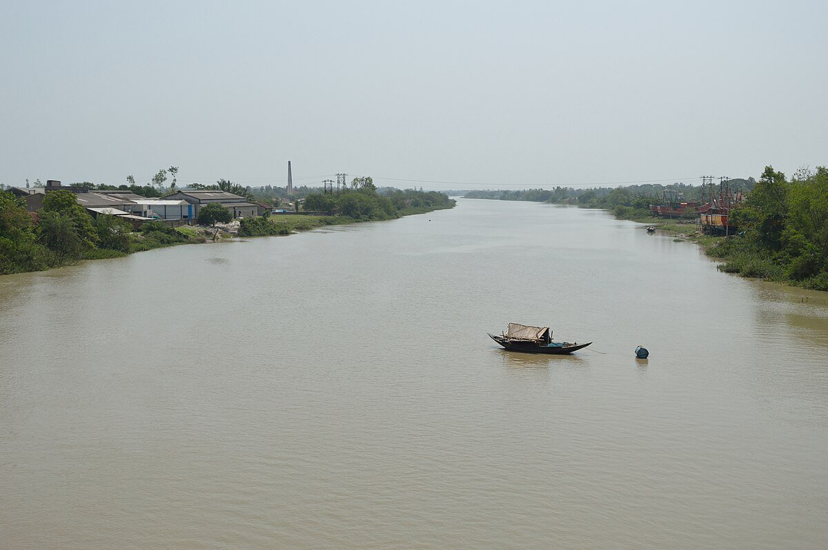
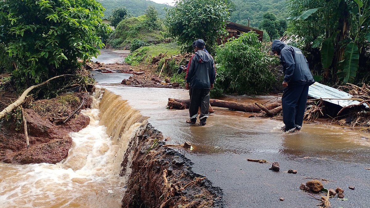
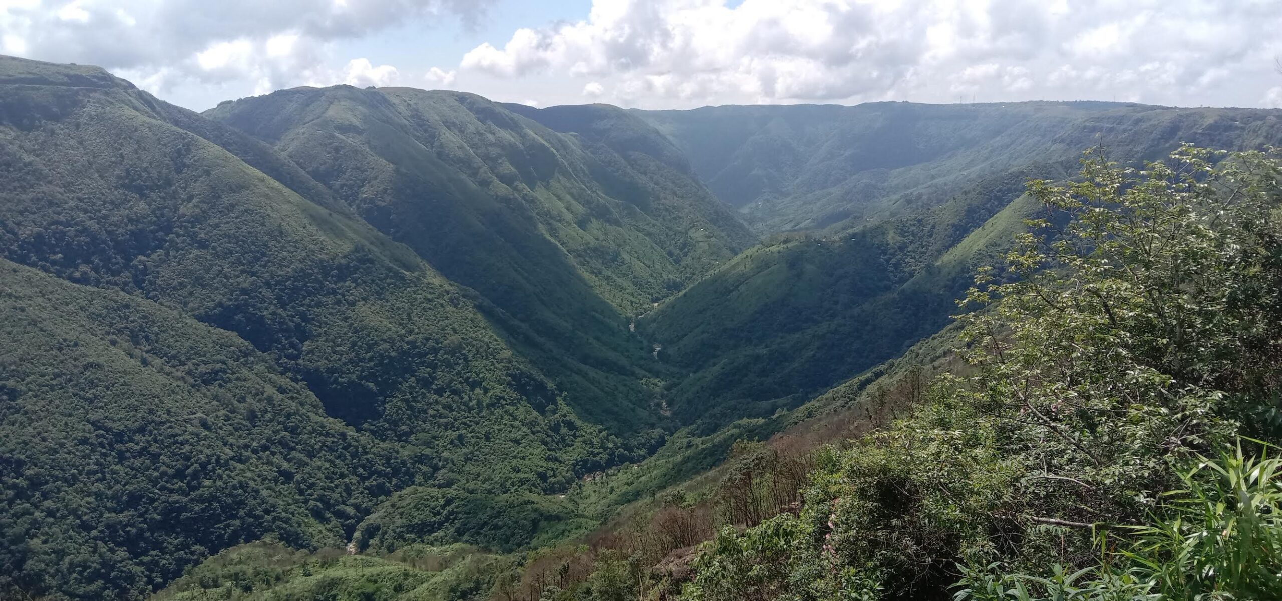
India’s coastline is vast and varied, comprising sandy beaches, rocky coasts, muddy flats, marshes, estuaries, and lagoons. An analysis of changes to India’s coastline by the National Centre for Coastal Research in 2018 found that between 1990 to 2016, 34% of the national coastline had eroded, 28% had accreted (increased) and 38% was in stable state. More than 60 square kilometres of land had been added along the states of Gujarat and Odisha.
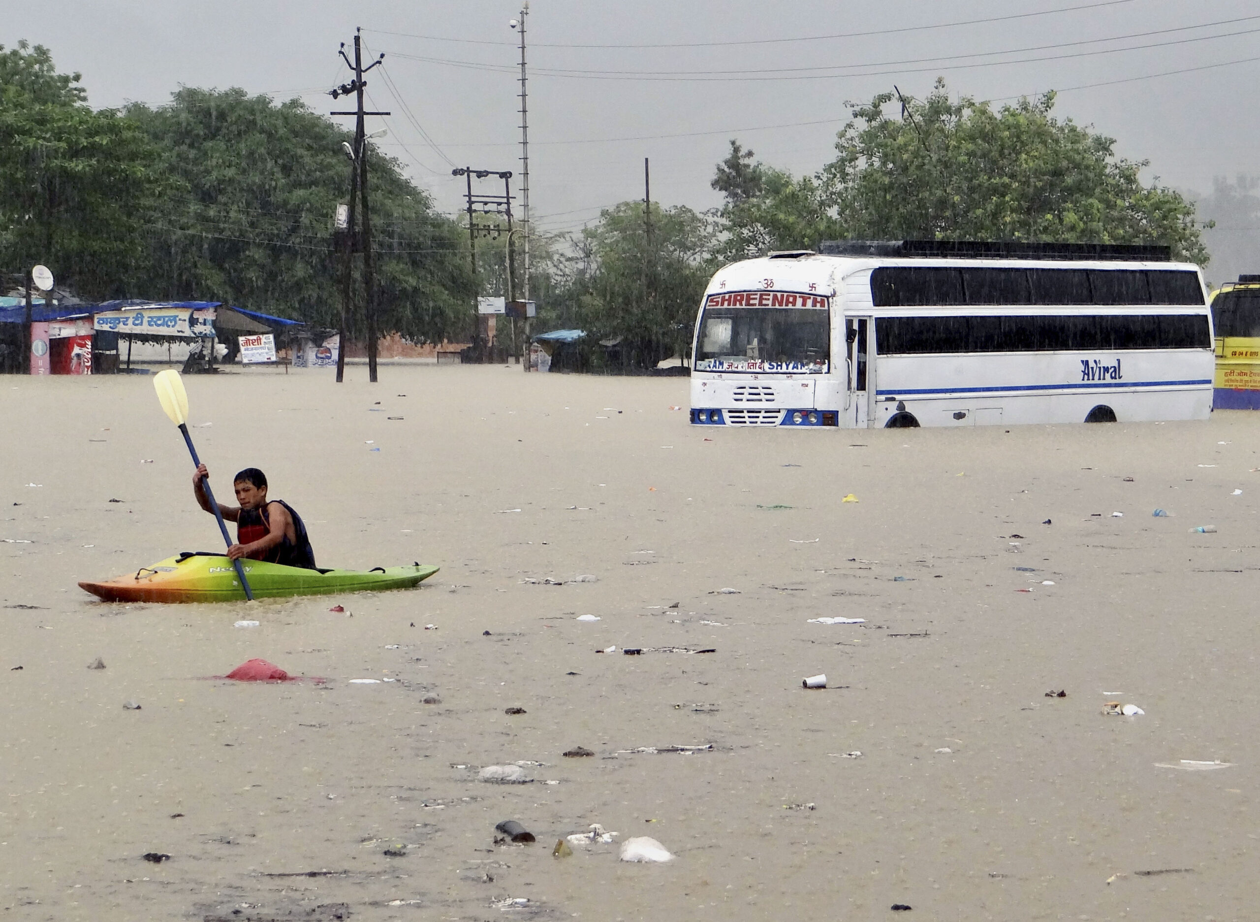
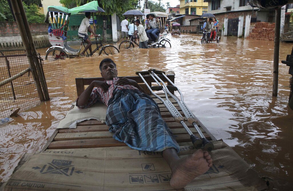
The revised coastline could pose challenges for coastal regulation and understanding vulnerability across the coast, said A. Biju Kumar, Professor and Head at the University of Kerala’s Department of Aquatic Biology. The Coastal Regulation Zone notifications of 1991 and 2019 make it mandatory for state governments to draw up the Coastal Zone Management Plans and identify Coastal Regulation Zones to restrict development across the coast, including in areas inhabited along the coast.
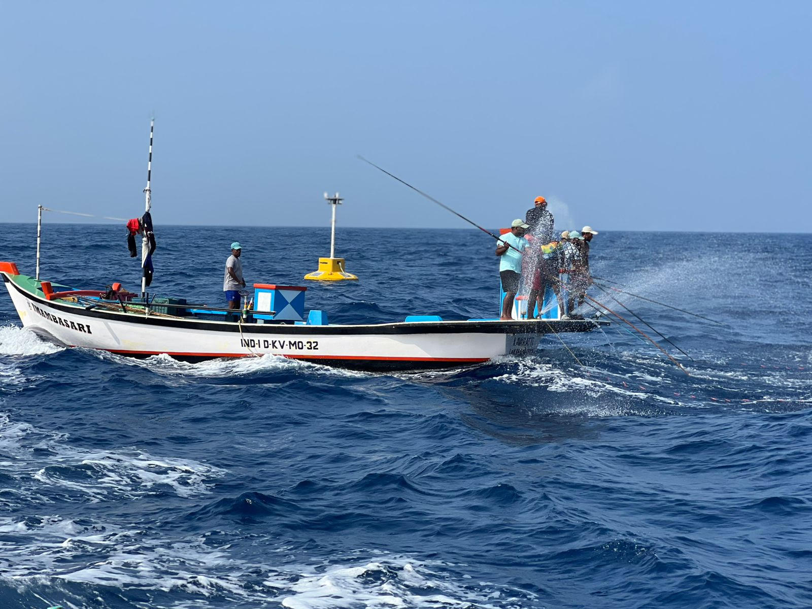
“Existing coastal zone maps will have to be redone and this can lead to challenges in planning marine fishing activities. All of this was done with the earlier assessments and high water line, so the government needs to clarify what the impact of this revision will be on coastal planning and on fishing villages,” said Kumar, adding, “Disaster management along the coast has also been designed with existing maps, and those may need to be re-assessed too.”
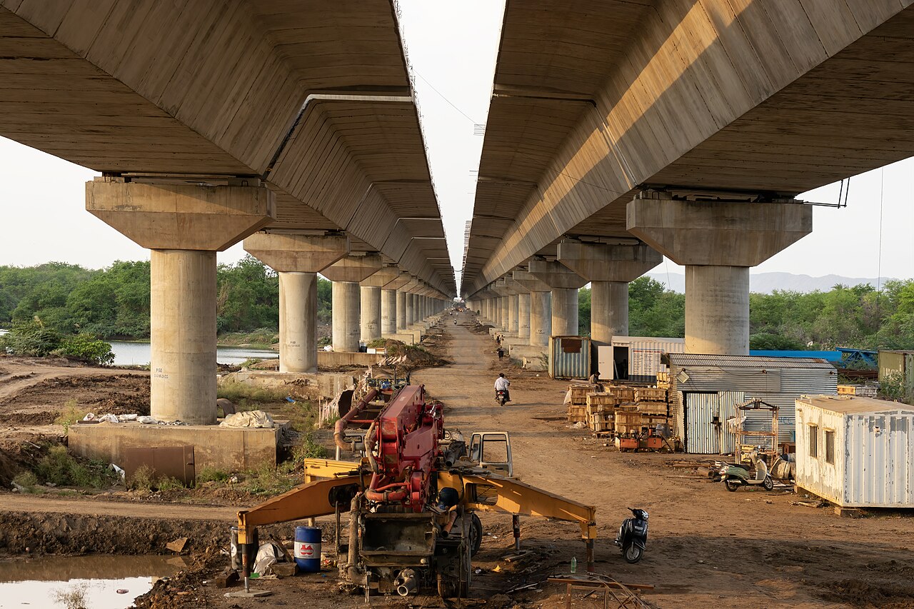
Read more: Audit report flags issues with coastal projects
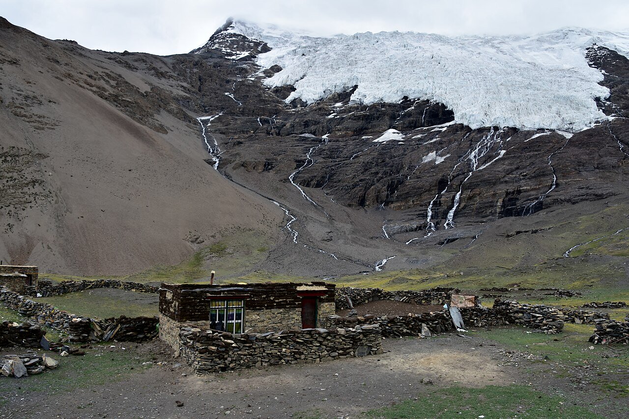
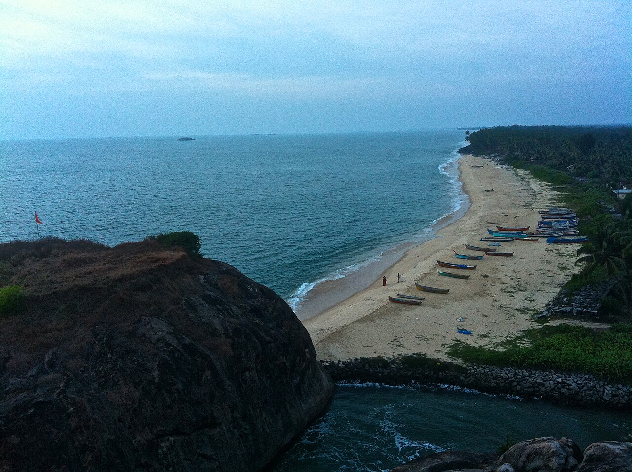
Banner image: Kapu beach in Udupi, Karnataka. Image by Subhashish Panigrahi via Wikimedia Commons (CC BY-SA 3.0).