- In 2024, Ludhiana decided to undertake a plantation programme based on a heat map.
- This approach aimed to serve the areas most exposed to extreme heat.
- A year after it was launched, however, the status of the programme and its impact remains uncertain.
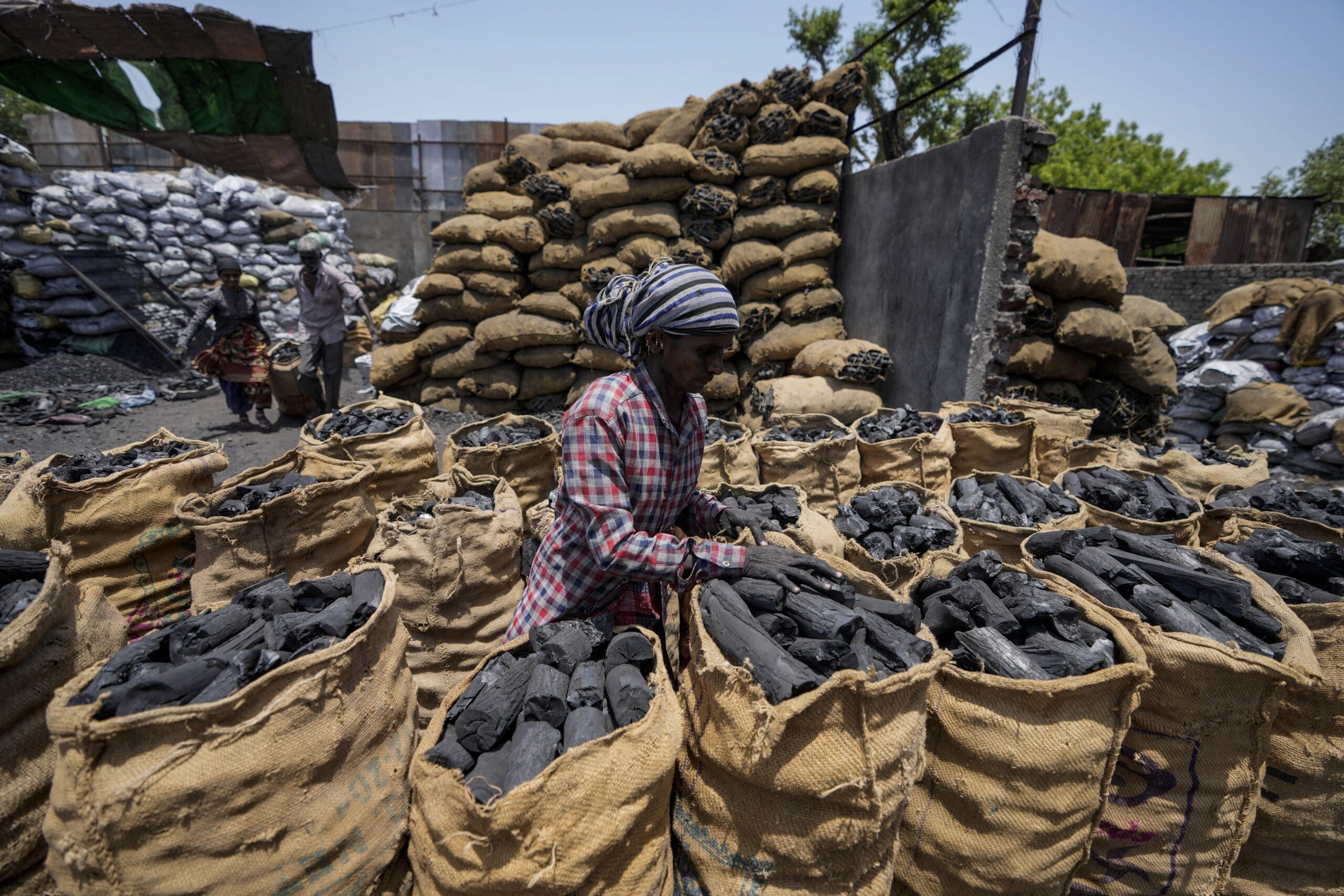
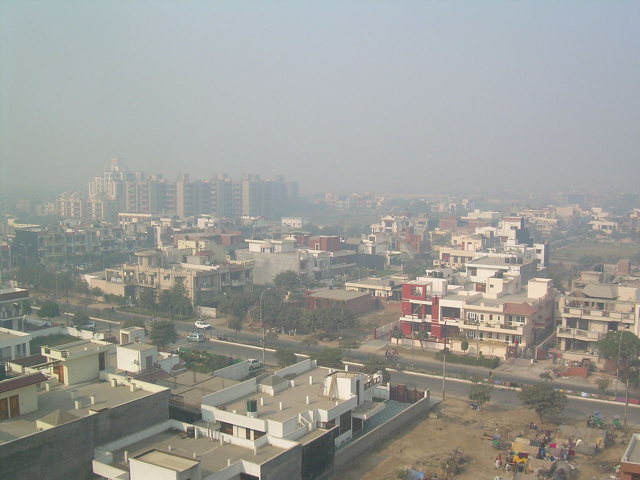
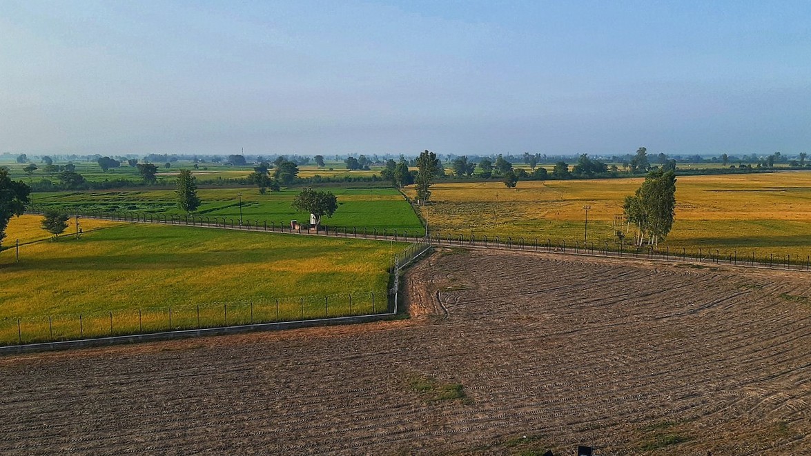
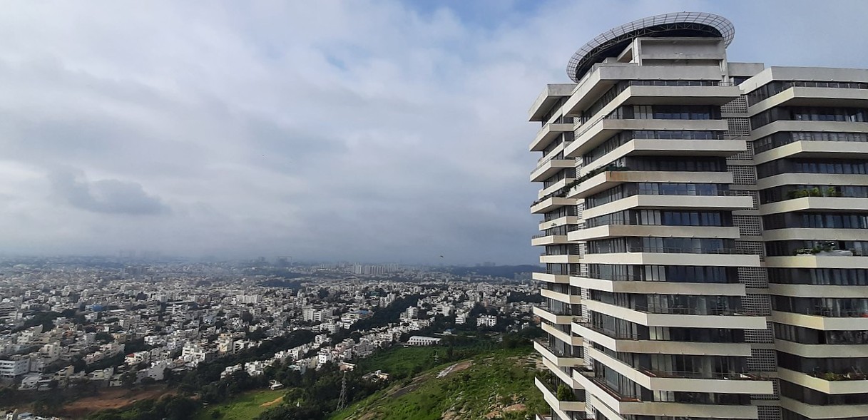
Last year, Ludhiana — Punjab’s industrial hub and one of its most polluted cities — began what could have been a path-breaking green initiative. The Deputy Commissioner launched a heat map-based plantation programme aimed at countering the city’s intensifying urban heat island effect. The idea was to use satellite data to guide plantation efforts in the areas most exposed to extreme heat.
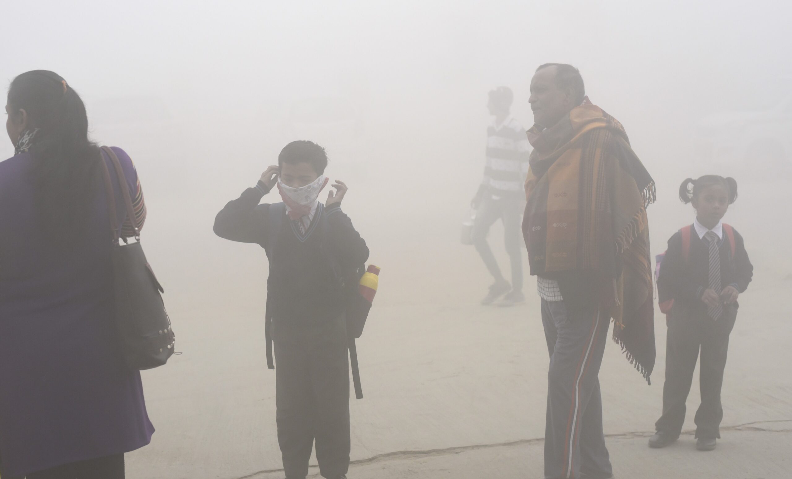
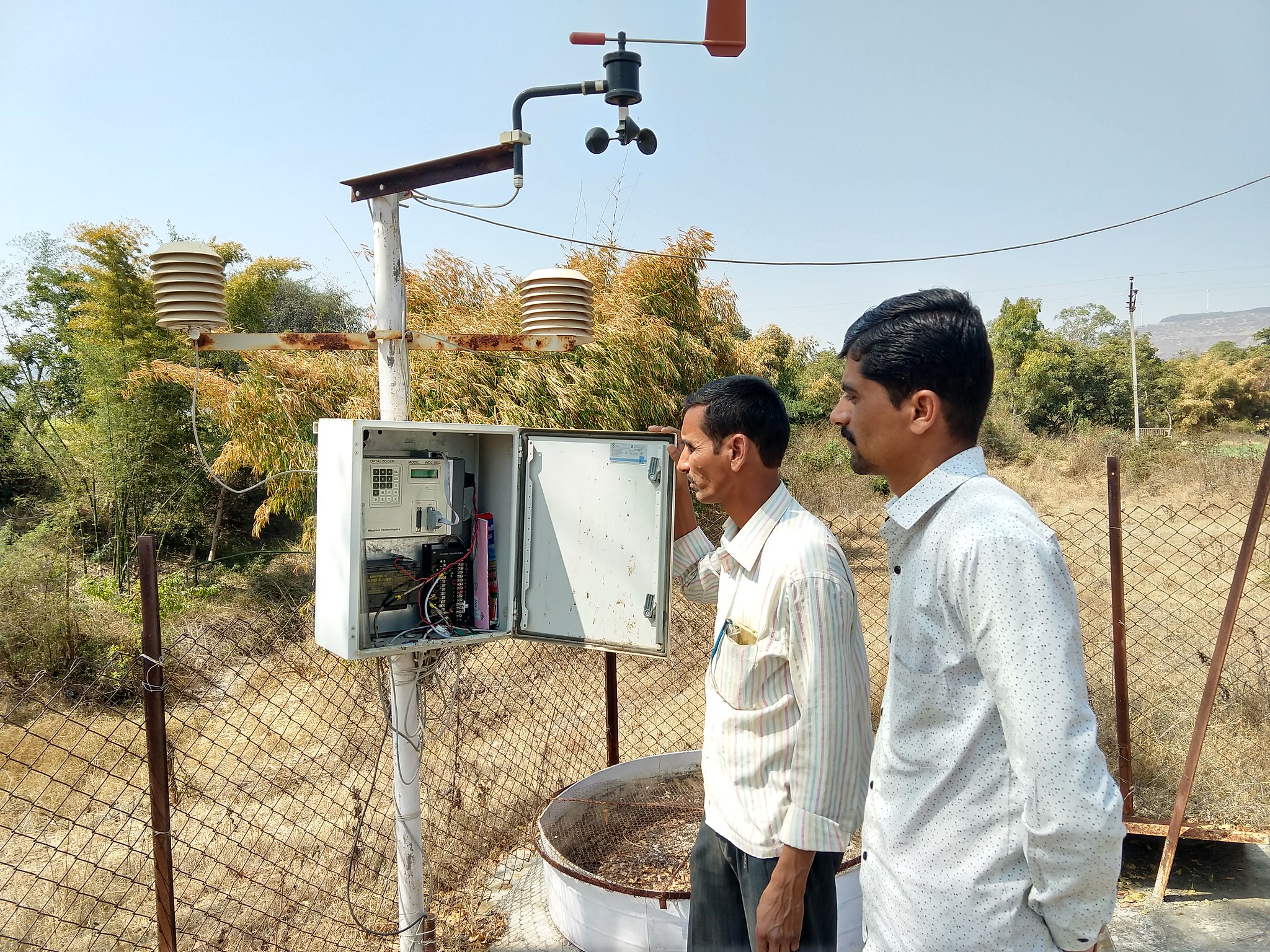
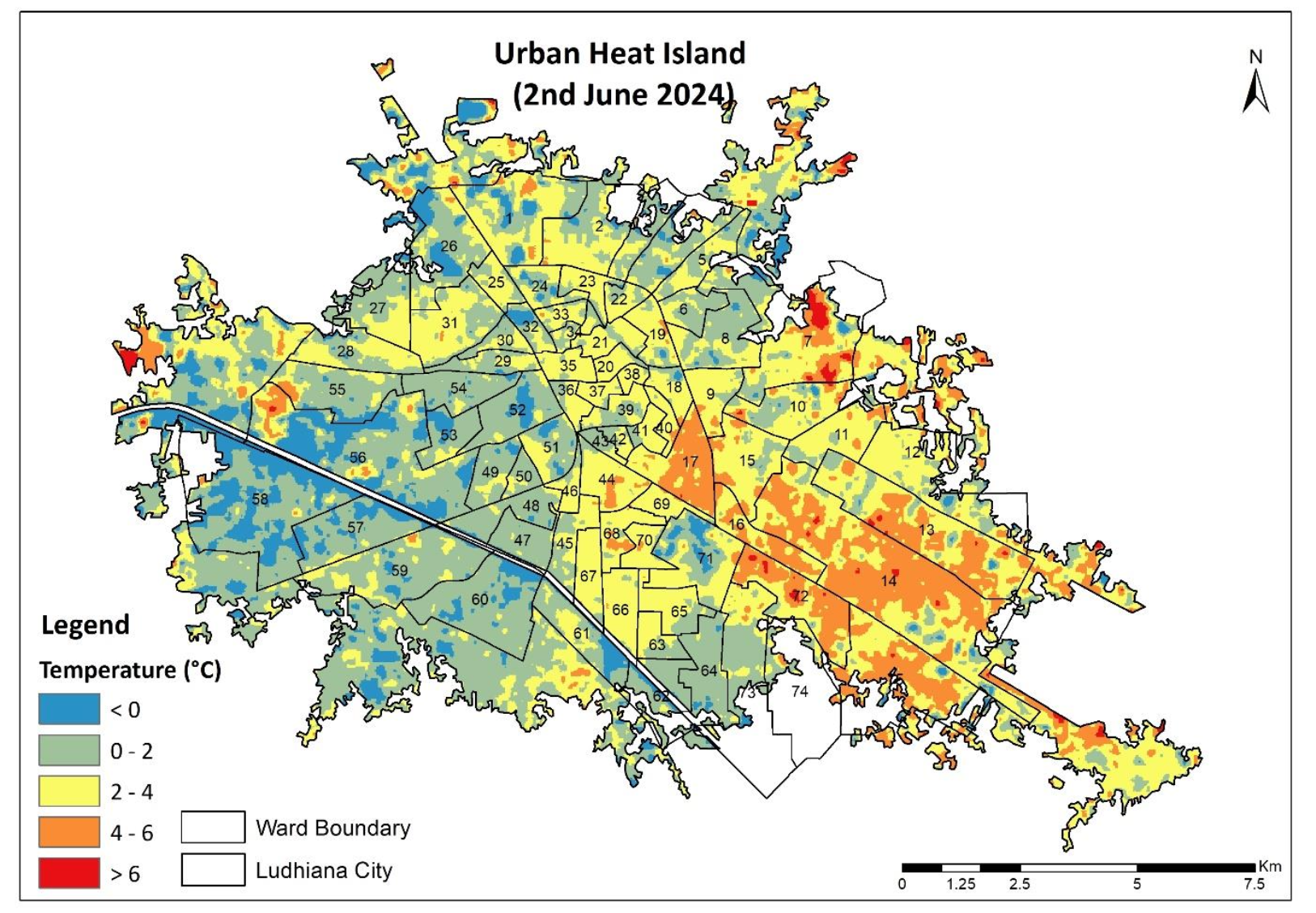
Ludhiana is set to become one of the worst affected by extreme heat as global warming accelerates, projected to see more frequent high heat index days compared to other big cities in India. The heat map, developed by the Punjab Remote Sensing Centre (PRSC), was to serve as a scientific guide for urban greening, especially in the concrete-heavy zones of the city registering high temperatures.
The initiative was celebrated as part of a larger vision to sustainably urbanise the district, called “Wake up Ludhiana.” A year later, however, the scheme’s implementation is lacklustre, with little understanding of where the plantations are located or how they are faring.
Countering extreme heat
Urban heat islands are a well-documented phenomenon in cities like Ludhiana, where concrete infrastructure such as roads, buildings, and pavements trap heat and raise local temperatures.
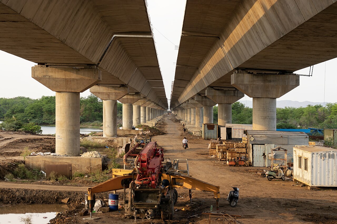
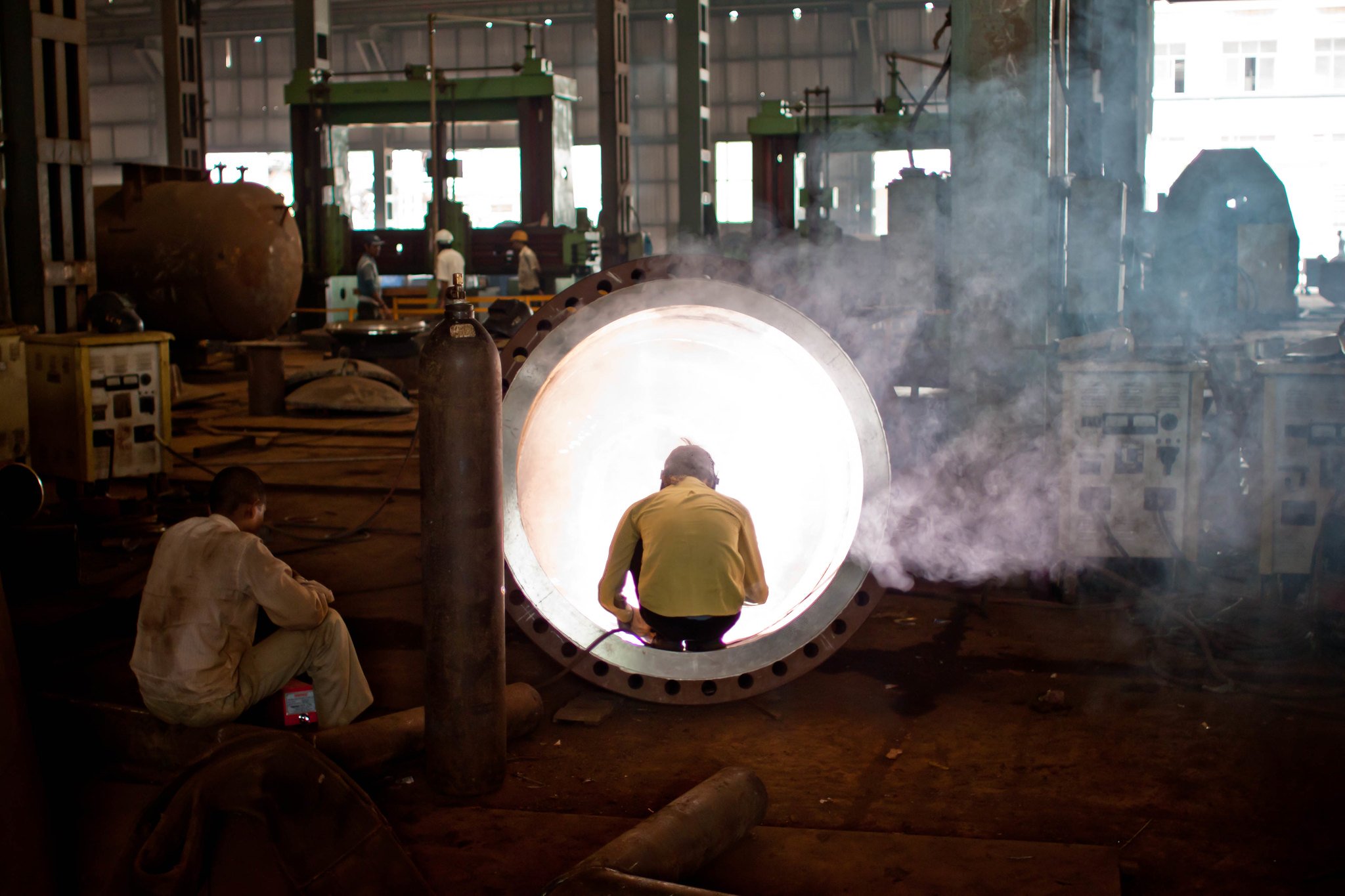
Ludhiana registered an 8% average annual growth rate of built-up areas between 1955 and 2015. The year 2009 saw the maximum growth in built up area since 1979. This expansion led to an intensifying urban heat island effect. Surface temperatures rose by 3°C between 2009 and 2015, a study published in the Journal of the Indian Society of Remote Sensing found. The highest surface temperatures were recorded in the district’s industrial areas in the southeastern zone.
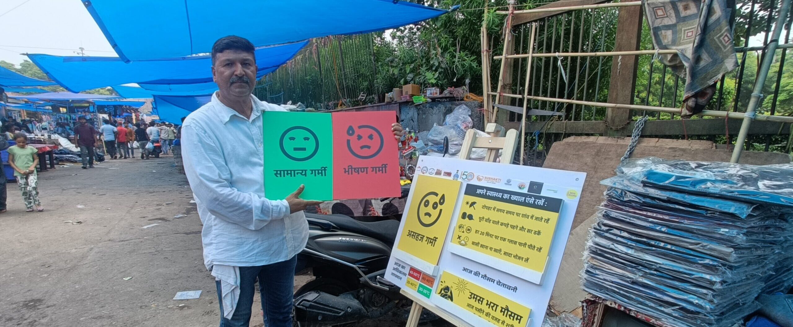
Increase in green areas, water bodies, and unpaved spaces can break this heat trap, improving thermal comfort and even lowering electricity consumption. Harini Nagendra, Director of the School of Climate Change and Sustainability at Azim Premji University, called the approach of using a heat map to guide urban greening “uncommon, and very commendable.”
“You don’t see a lot of cities using heat maps as a base to design heat mitigation efforts, even though it’s an easy thing to do,” said Nagendra, who has studied the design of city heat action plans in India.
The need for cooling across the city is apparent. The PRSC map showed that wards in the “orange” zone — such as the heavily built up wards of 14 and 17 — were 4-6°C warmer than other parts of the city last year. Those in the “red” zones were over 6°C warmer.
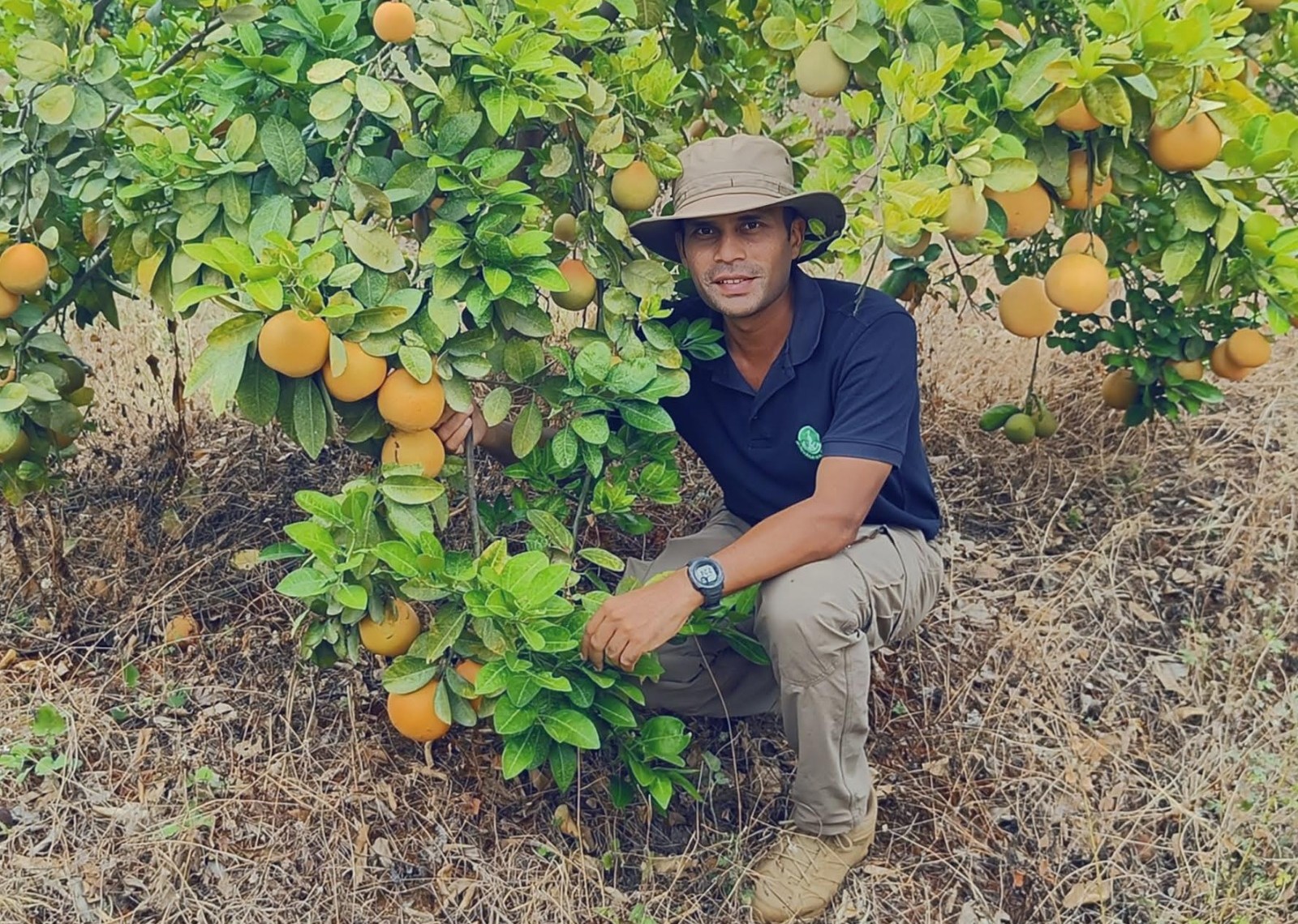
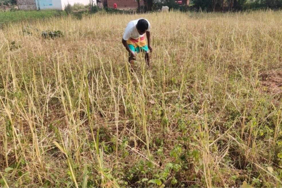
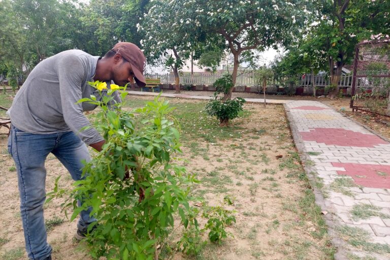
The Ludhiana administration roped in local NGOs, industry partners, and resident welfare associations to carry out and maintain plantations in parts of the city. “We chose to tie up with stakeholders who already had access to land, who would be more likely to maintain the plantations,” said Ambar Bandhopadhyay, a District Development Fellow. “In other public places like roads, ensuring survival (of the plant) is difficult because of lack of land availability or encroachments and other issues.”
When stakeholders are incentivised to care for plantations, it can lead to better outcomes in terms of survival, research shows. The Resident Welfare Associations were provided with saplings of their choice for free by the forest department. The associations planted these along green belts and maintained them at no extra cost.
“We prefer fruit trees because the more benefits residents get from trees, the more they will care for them,” said Sunil Sharma, president of a Residents Welfare Association at Sector 40, whose society benefitted from the scheme. Sector 40, falling in ward 15, is between 2 and 4°C warmer than other parts of the city, as per the PSRC map. “We plan to do more plantations in an open area which is currently not being put to much use,” Sharma added.
The role of public plantations
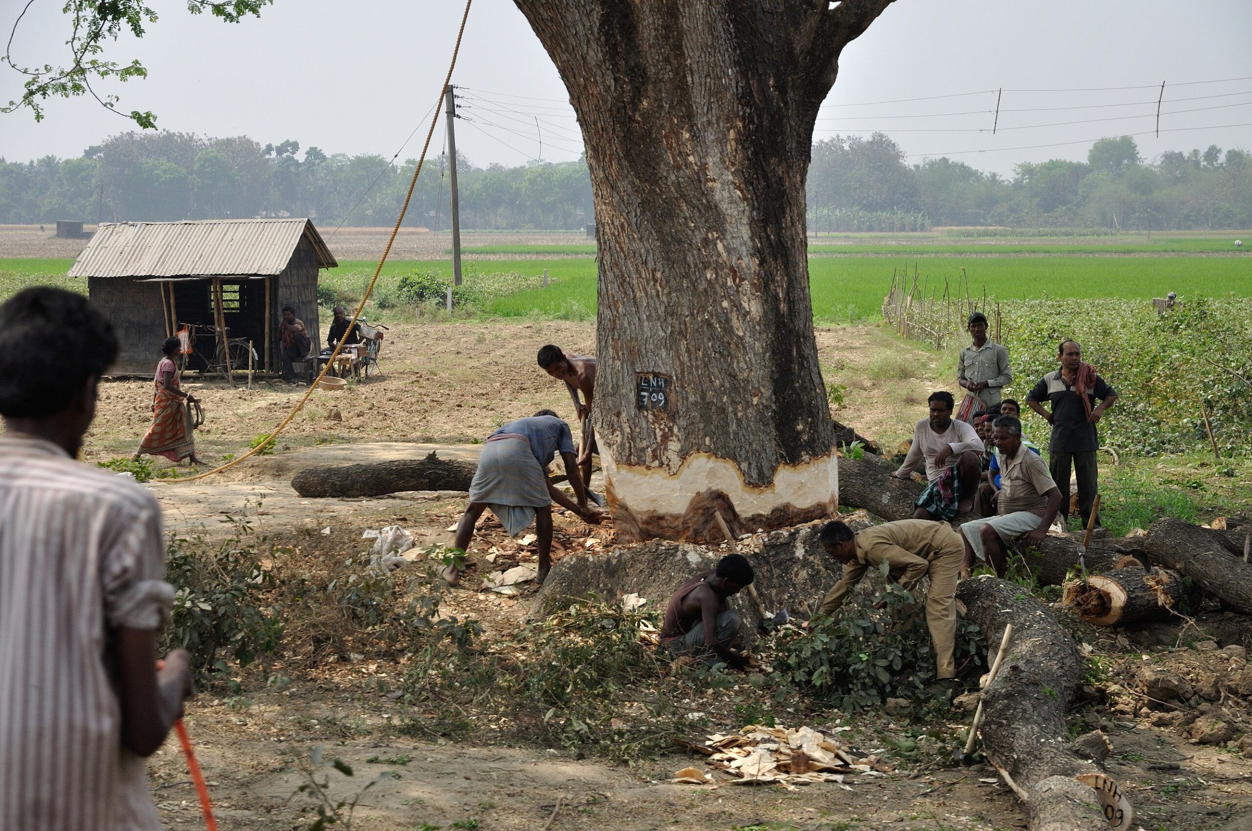
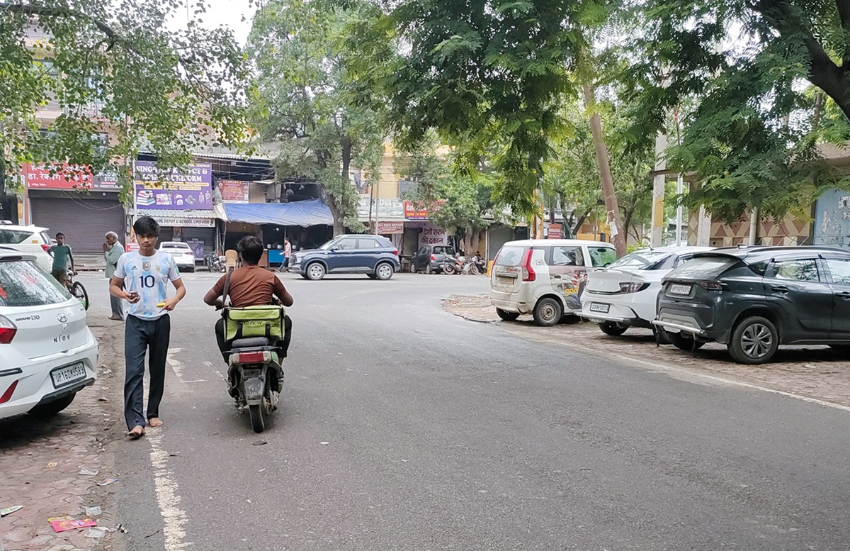
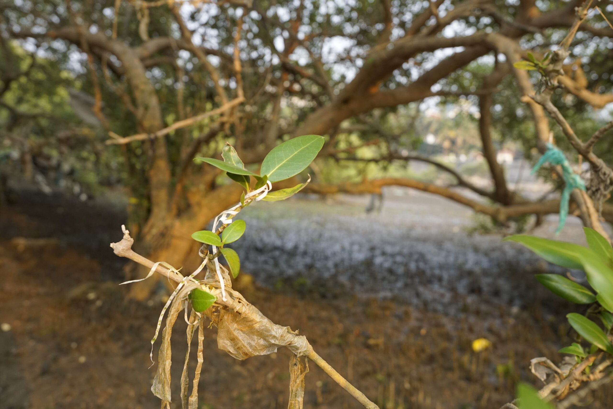
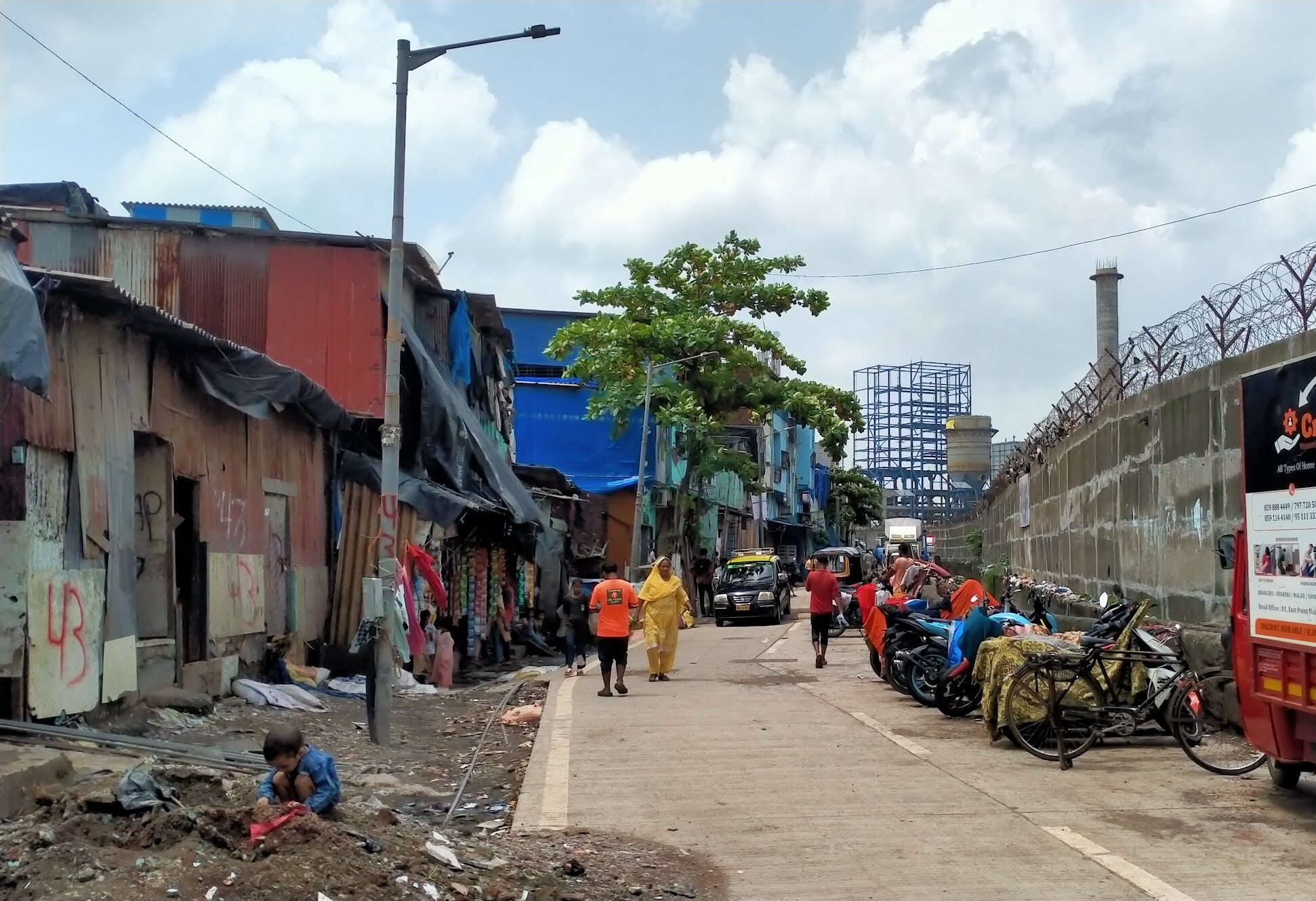
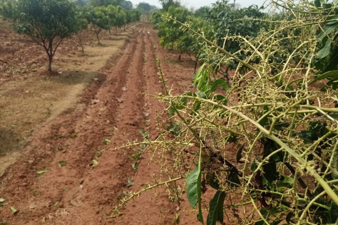
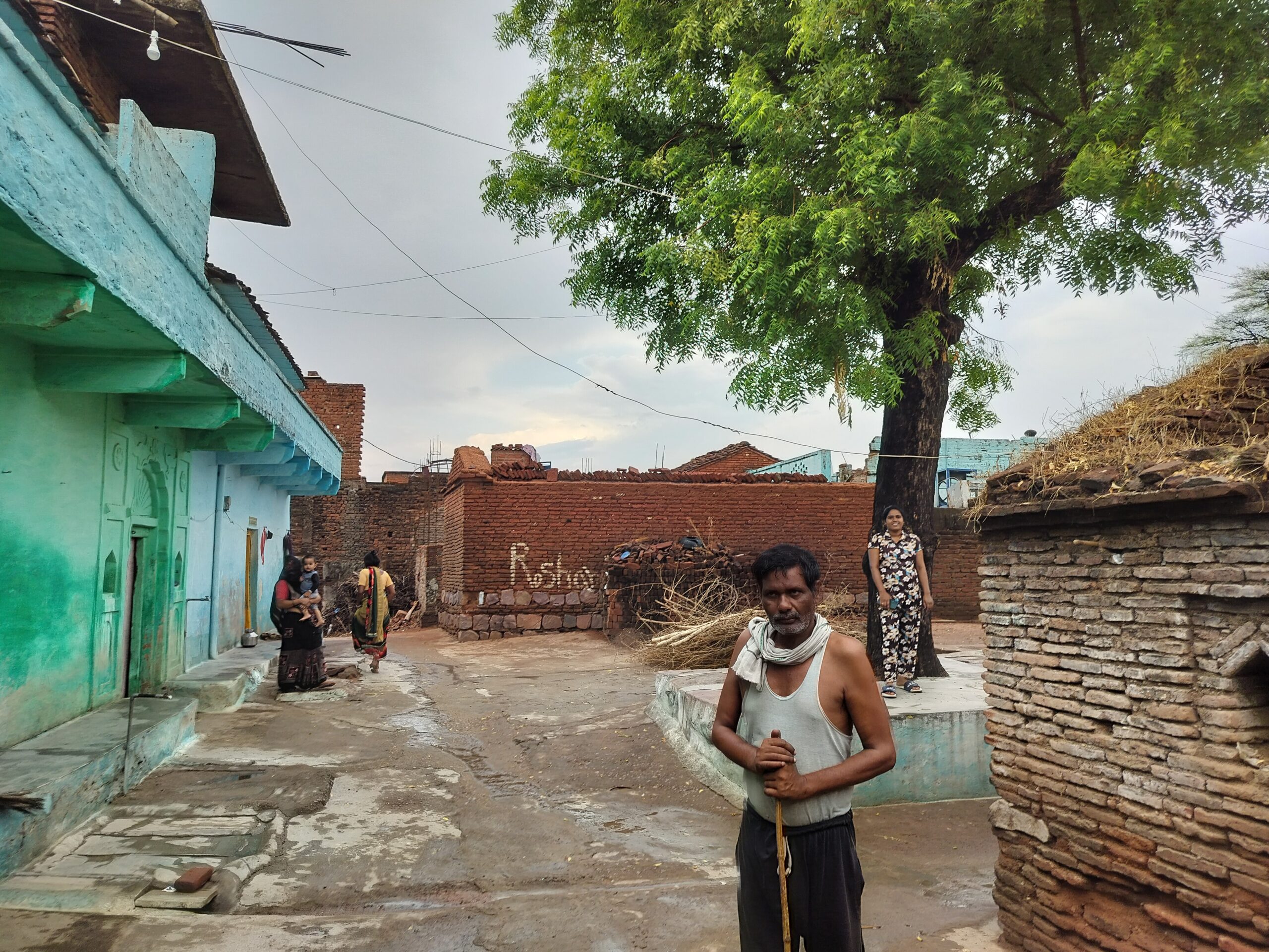
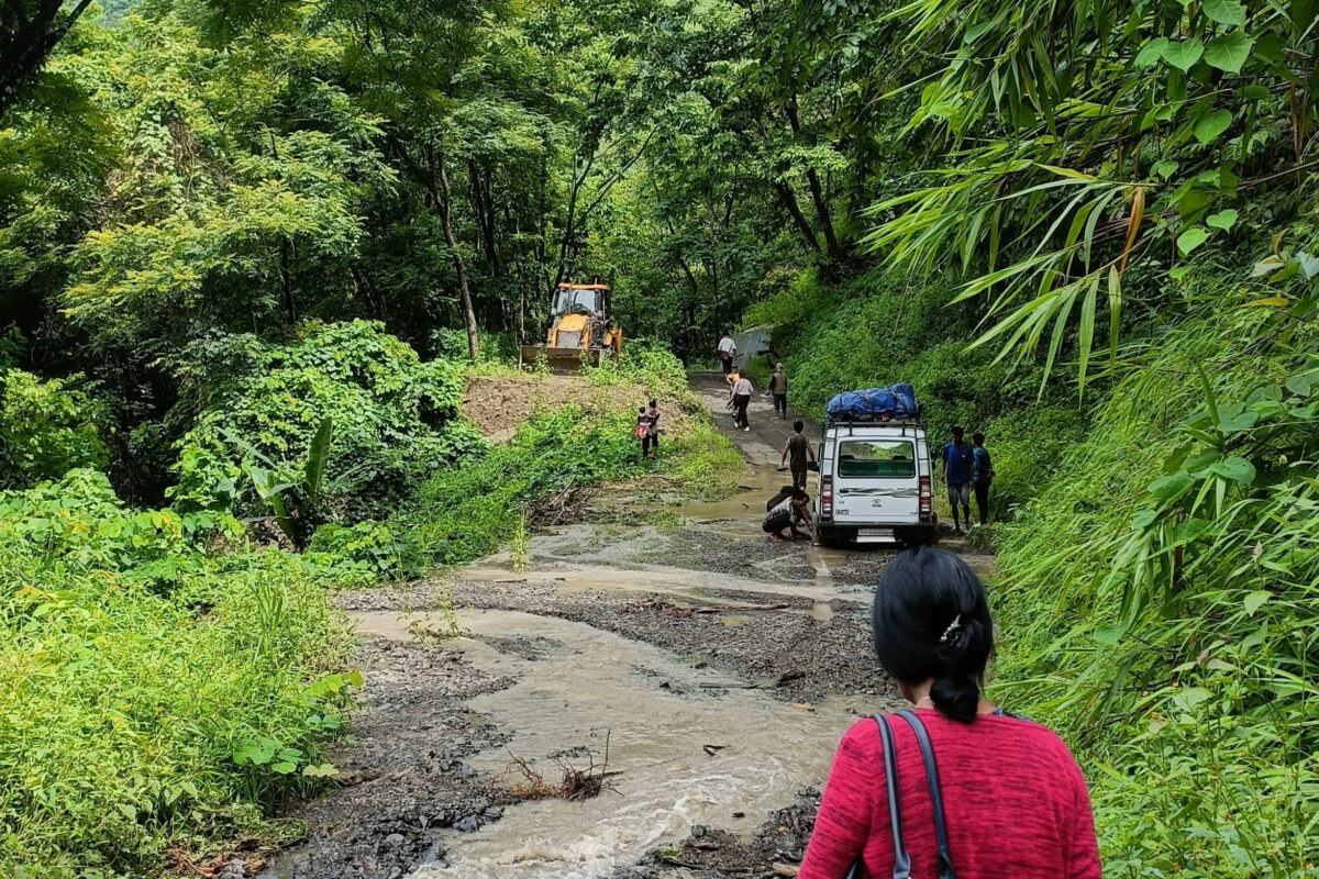
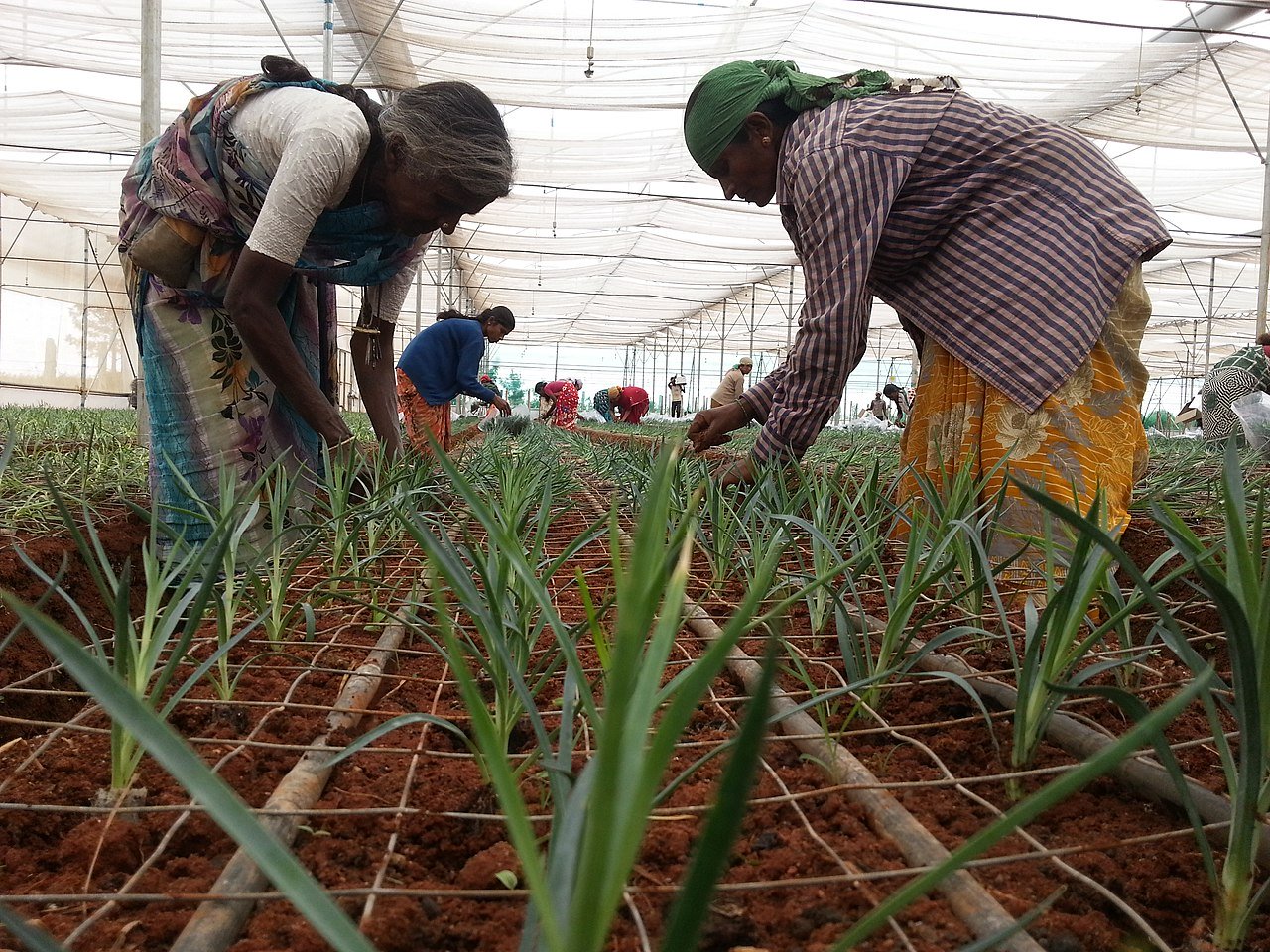
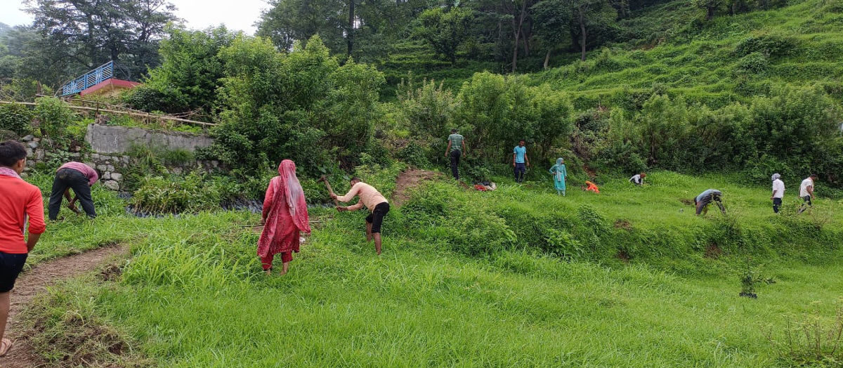
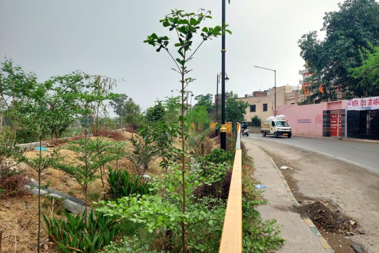
In collaborating with private stakeholders who already had access to land and green belts, other public spaces in need of greening — such as roads, pavements, and working class neighbourhoods — inadvertently fell through the cracks. Mongabay India could gather information about just one government-maintained plantation site during a visit to the city in May, along the city’s Buddha Nallah stream.
Most government officials in the municipality and district administration said they were unaware of the heat map-based greening exercise, citing changes in leadership. Since the initiative was launched by former Deputy Commissioner Sakshi Sawhney last year, the DC has changed twice.
When approached, the current Municipal Commissioner, Aditya Dachalwal, said the municipality was not following up with the heat map programme, even though information released to the local media last year specified which wards were to be covered by the municipality using the heat map. No information about the locations and status of public plantations could be obtained from the Deputy Commissioner’s office either, despite several requests.
Greening non-residential and non-commercial public spaces is important, because “the risks from heat exposure are different,” explained Abhiyant Tiwari, lead for Climate Resilience and Health at the Delhi-based climate research and advisory NRDC India. “Commercial and residential areas generally have access to cooling, even if surface temperatures are higher due to built up areas. In ghettos and roads, lack of access to cooling changes the risk profile of these spaces entirely.”
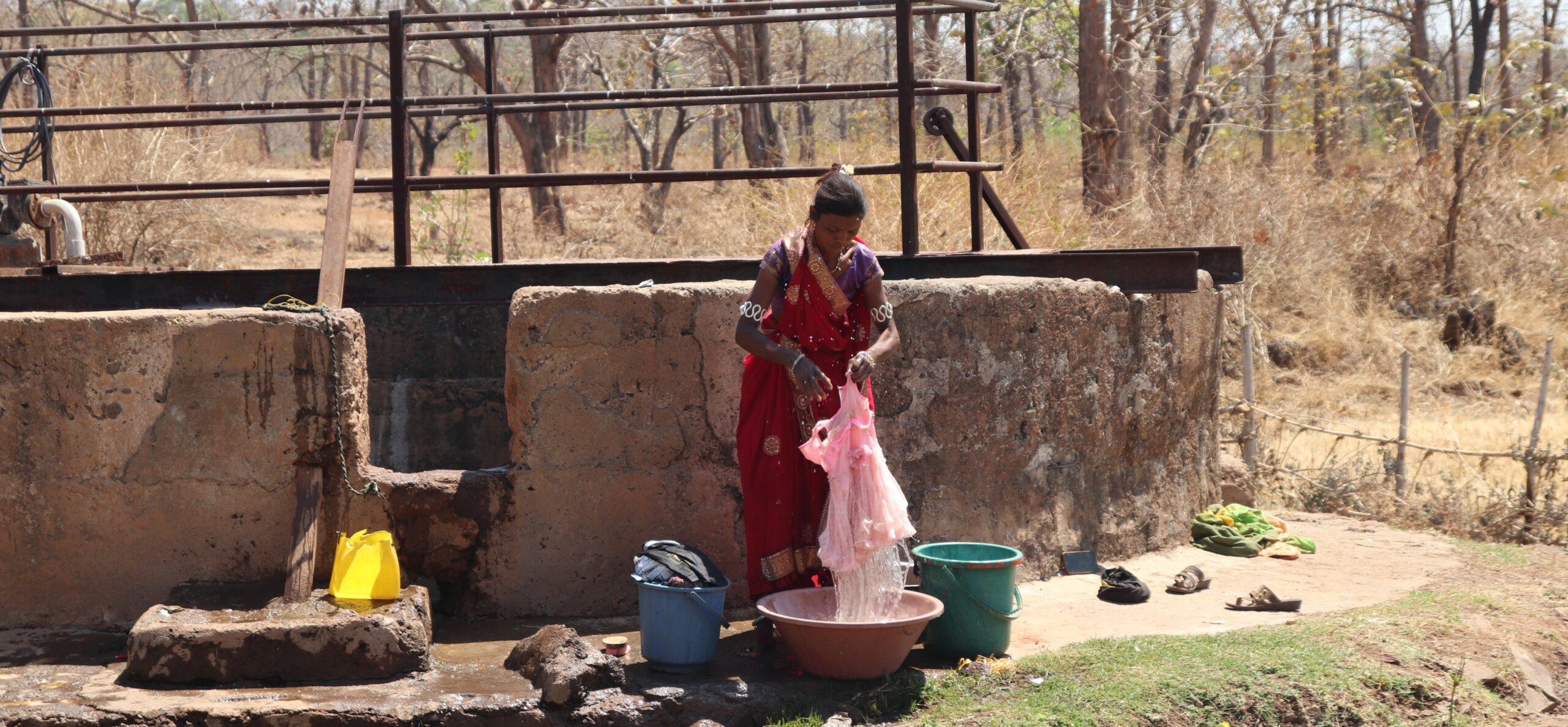
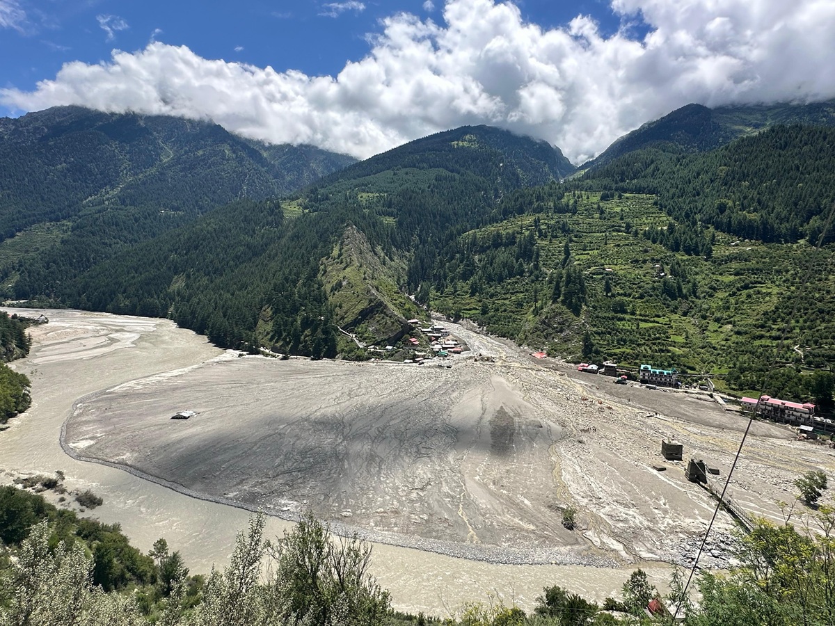
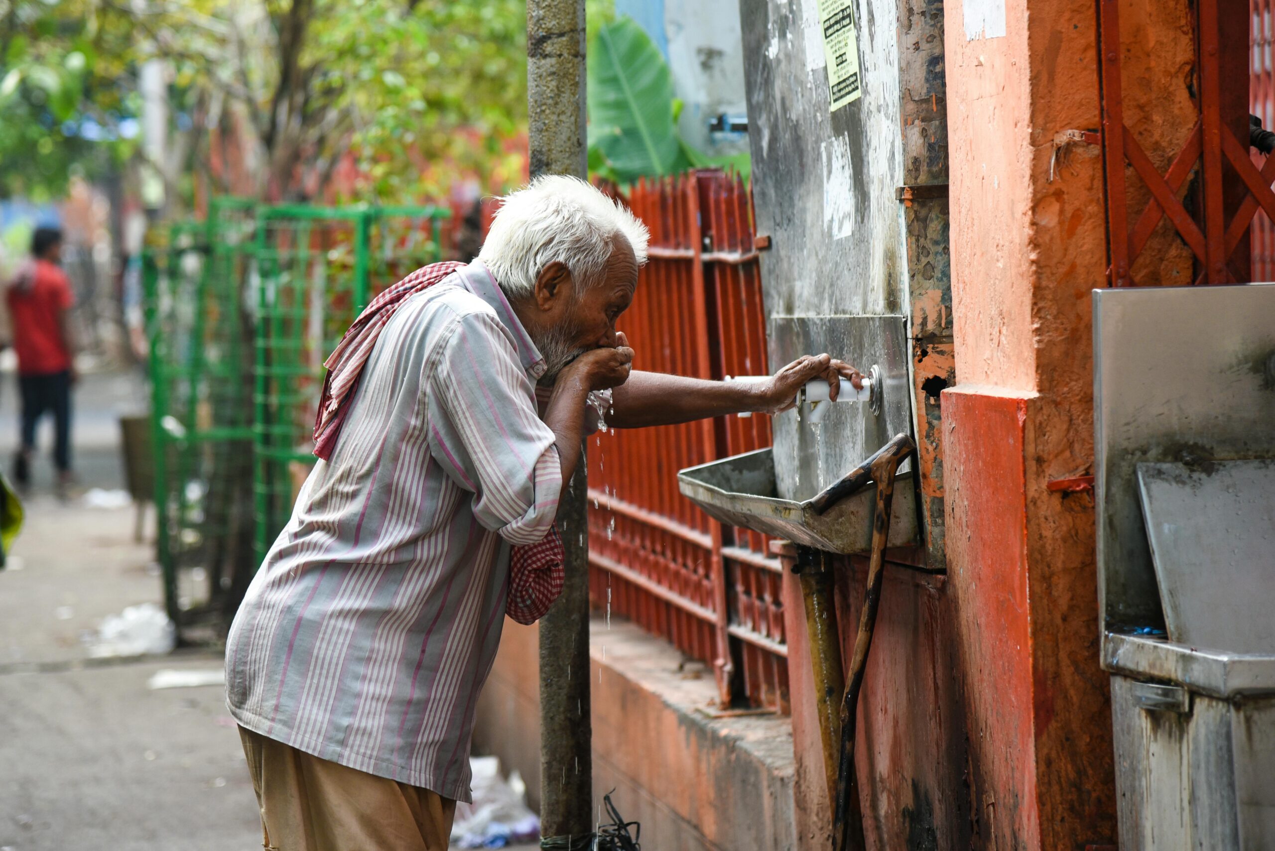
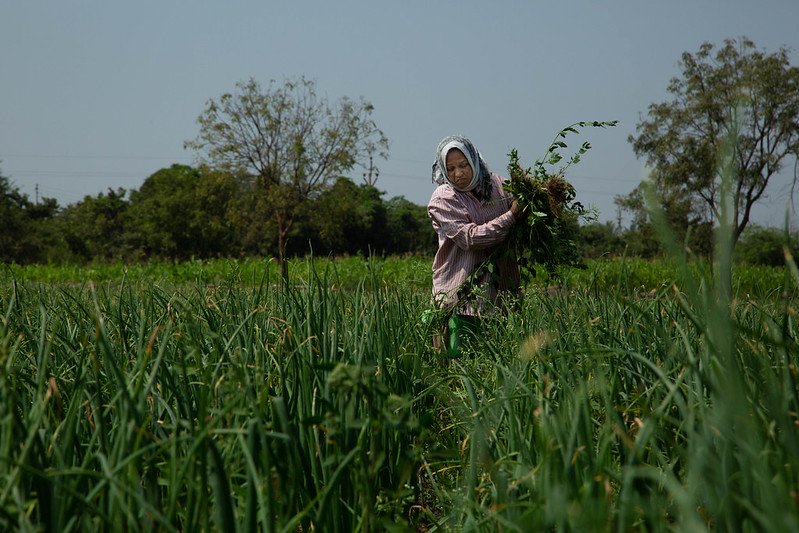
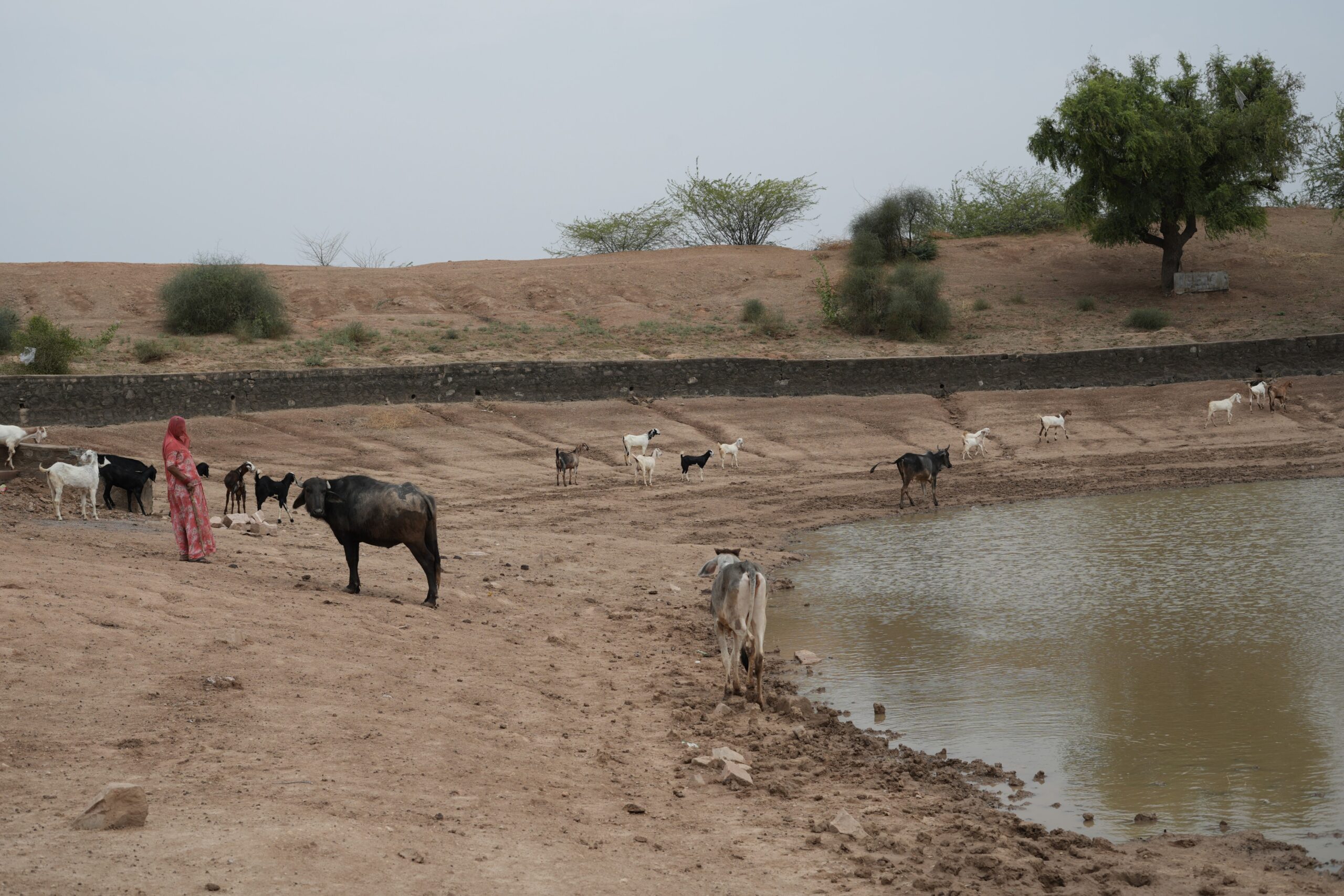
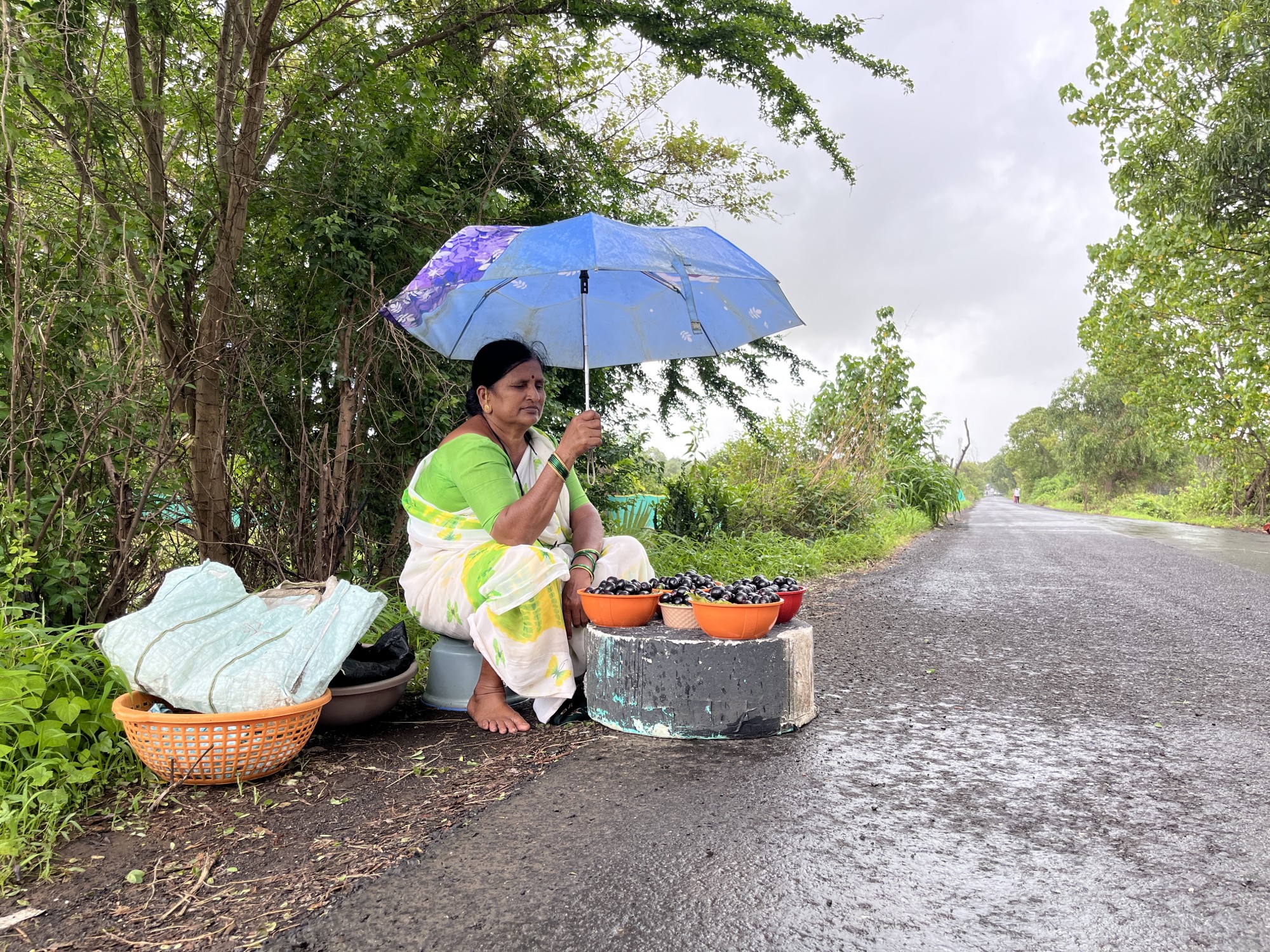
Along the Buddha Nallah — the government-maintained plantation site Mongabay India visited — street vendors said the greenery provided some respite. “It’s not a park, but it has become a decent place,” said Arvind Kumar, who runs a cigarette kiosk by the river. Last year, when the city experienced temperatures close to 46 degrees Celsius, Kumar said he had no option but to work amid the stench and heat. Buddah Nullah is highly polluted, and industrial discharges into the river have raised the water’s temperature significantly, exacerbating localised heat.
“There used to be a lot of trash here, but now it’s cleaner and garbage is collected from door to door. The spruce up has already helped with the heat and stench, and I am sure when the trees grow bigger, their shade will cover some portion of the road, which will be a big relief during high summers,” Kumar said.
However, the upkeep of the plantations is irregular. The horticulture wing has been outsourcing the maintenance of trees to private contractors because of staff crunch, but the work is inconsistent. “Now some of us water the plants and people have also planted a few saplings of neem and peepal,” said Tinku, a vegetable vendor on the street.
Following through with heat action
Ludhiana’s plan to align tree planting with a heat map found special mention in a report by Sustainable Futures Collaborative, a Delhi-based think-tank, for being the only at-risk city assessed to implement a “heat-intentional action” like this. In most cases, tree planting and urban greening is done for beautification or to safeguard biodiversity, the report noted.
When done scientifically — controlling for humidity and plant species — tree planting in cities can contribute to a reduction in temperatures of up to 5.6 degrees Celsius. In order to be equitable, communities must partake in ideation and implementation, said Nagendra. “But when it comes to roads, pavements, and other areas for which there may not be other stakeholders to volunteer, the horticulture department or municipality must step in, because they have the jurisdiction to,” she said, adding, “Relying on NGOs alone won’t ensure that parts of the city that need cooling the most will receive it.”
Long-term heat mitigation actions, including planning and maintaining plantations, often suffer from lack of follow-through, the same report by Sustainable Futures Collaborative said, with local coordination between government departments identified as the top problem.
Integrating heat action into existing frameworks can ensure long-term benefits, said Tiwari. The Ludhiana administration has set up a digital auditing and monitoring framework for plantations, but it is unclear if this database is publicly available. “Leveraging national and sub national schemes and programmes that encourage urban greening can help ensure more concerted implementation, while monitoring and evaluation can lead to more accountability,” said Tiwari.
Read more: Carbon markets fund plantations and livelihoods
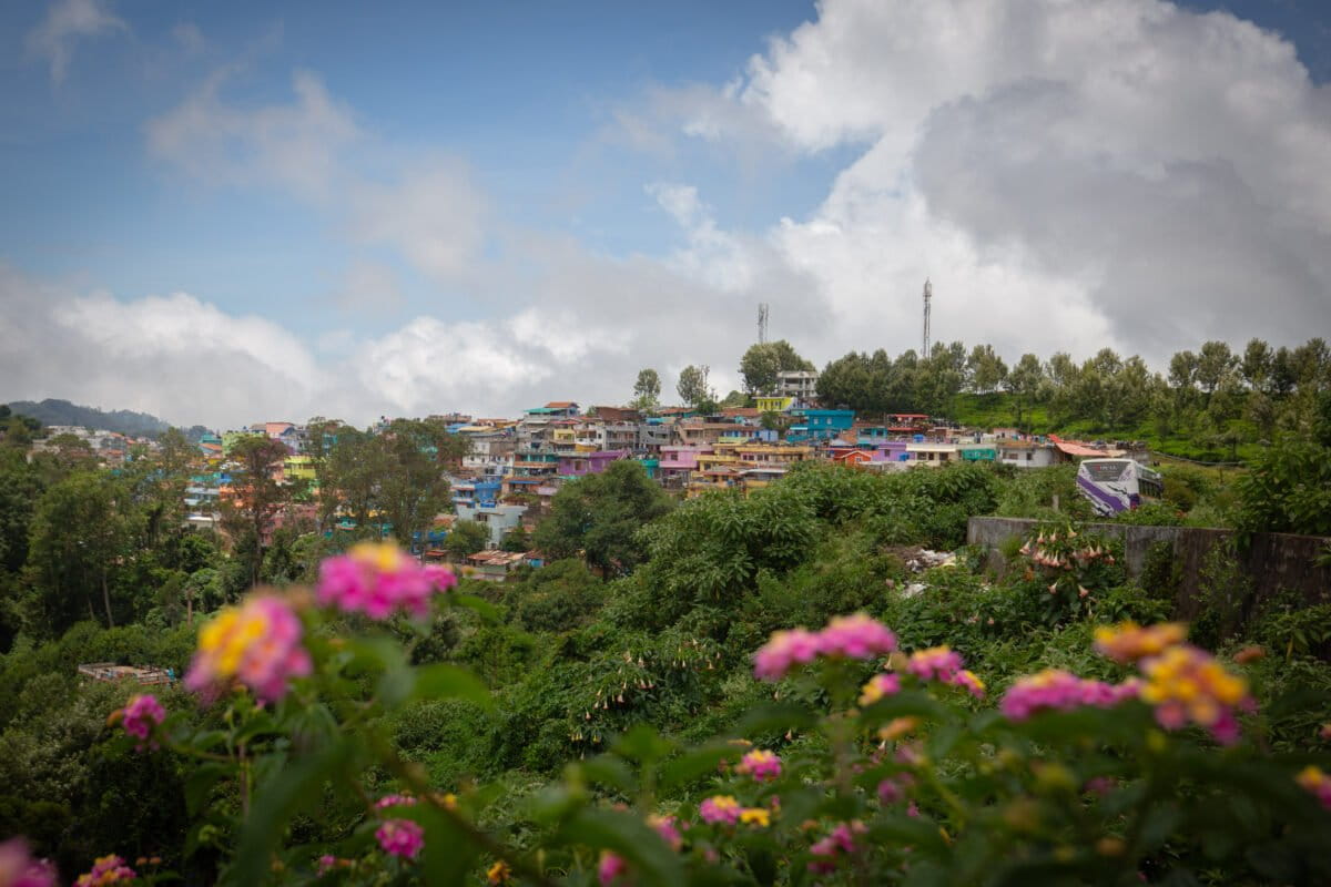
Banner image: Saplings planted alongside Buddha Nullah in Ludhiana. The city administration’s collaboration with private stakeholders with access to land left out public spaces in need of greening, like roads and working class neighbourhoods. Image by Manu Moudgil.