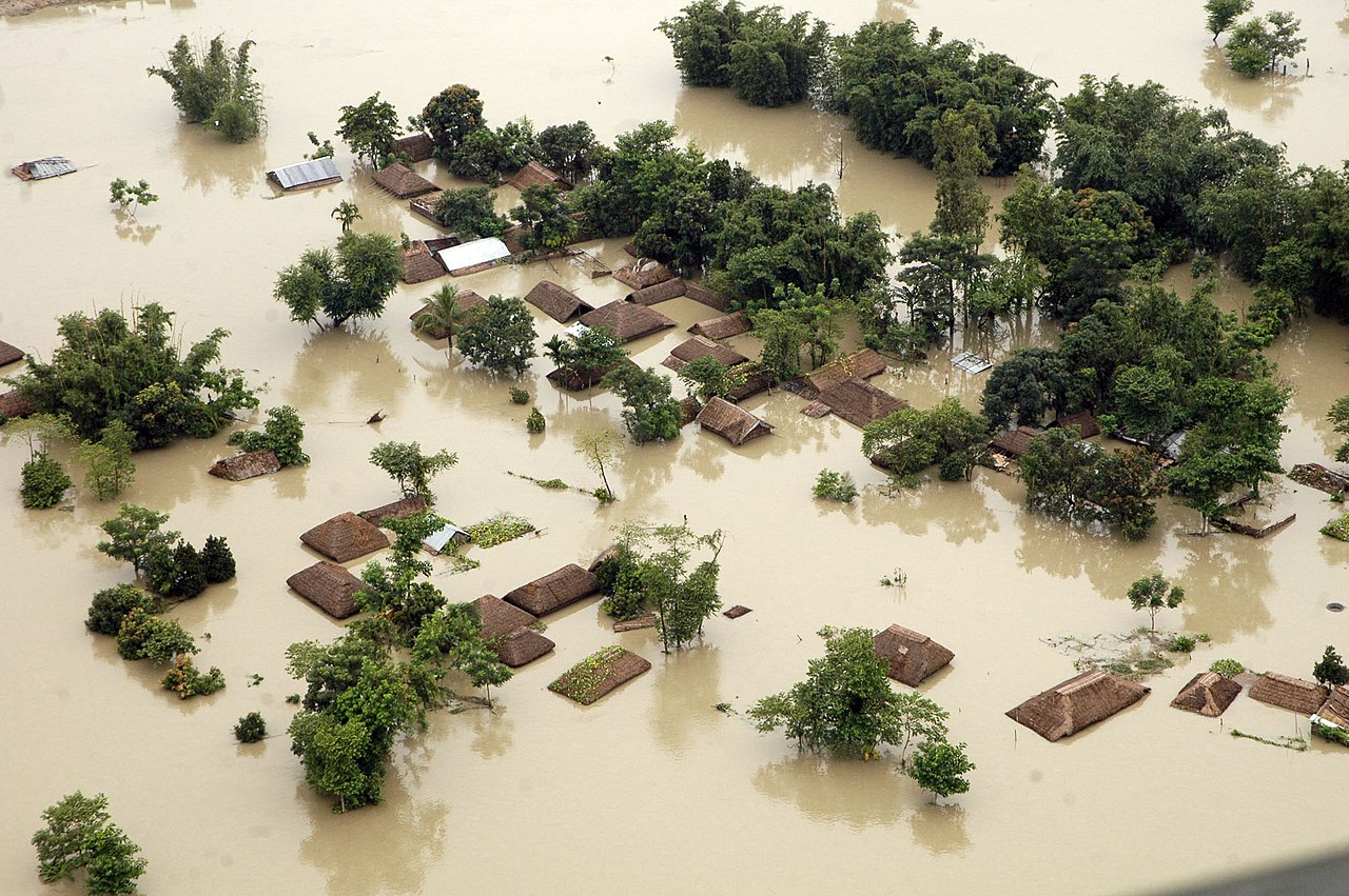
- On August 5, Dharali, a village in Uttarkashi, Uttarakhand, was hit by a flash flood in the Himalayan stream Kheer Gad, leaving at least 68 people missing and one dead.
- Rapid construction over the past two decades, including settlements on debris-flow fans along the Kheer Gad, compounded flood impacts.
- The proposed widening of National Highway- 34 in a section of the Bhagirathi eco-sensitive zone along Dharali could lead to the felling of 6,000 deodar trees, raising concerns about landslide risk.
It was around 1:30 p.m. on August 5, when after consistent rains, the residents of Dharali, a picturesque village in Uttarakhand’s Uttarkashi district, began fearing the worst: a disastrous flash flood.
Mohammad Shoaib, a 21-year-old welder from Bijnor in Uttar Pradesh, was in Dharali’s market area, waiting to pick up three of his co-workers in a car, when suddenly he heard people from the nearby Mukhba village and from Dharali, settled a little higher up and away from the market, screaming, shouting, and whistling. They were warning everyone below to run for their lives as they saw a flash flood approaching Dharali.
With his co-workers nowhere in sight, Shoaib, who, amidst the screams and whistles, could also hear the loud rumbles and thuds of the incoming flash flood, started the car and sped through Dharali at about 70-80 kilometres per hour.
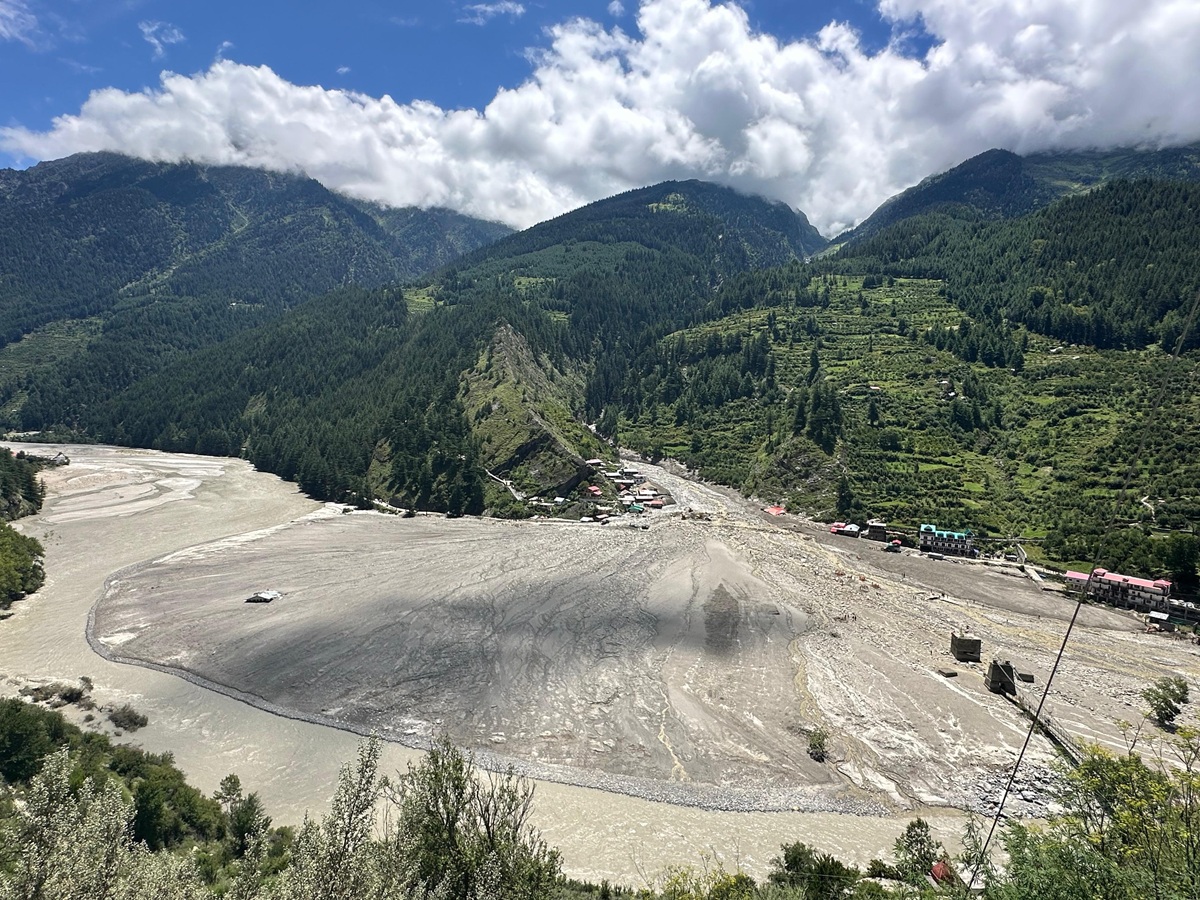
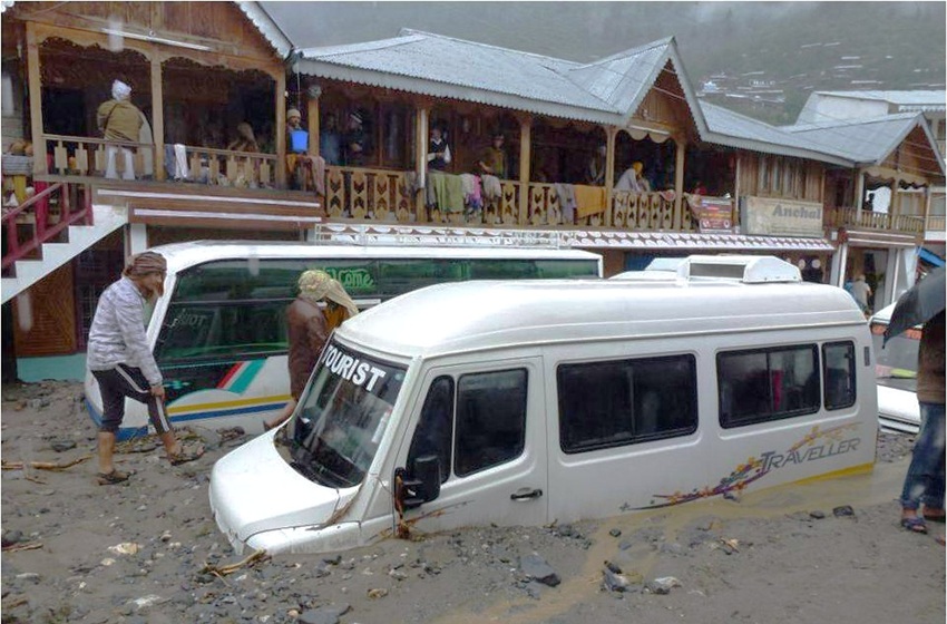
When he stopped and looked back, the entire market area behind him had either been swept away in the flash flood or buried under the huge amounts of sediment and boulders that Kheer Gad, or Kheer Ganga – a Himalayan stream passing through Dharali – brought down with it. He had escaped the flood by barely a second or two.
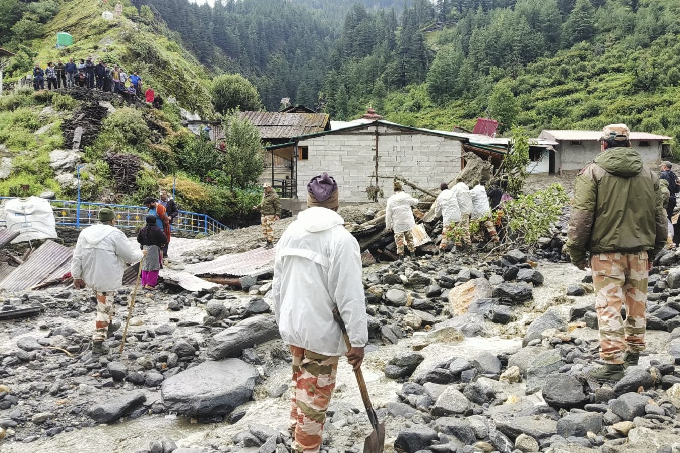
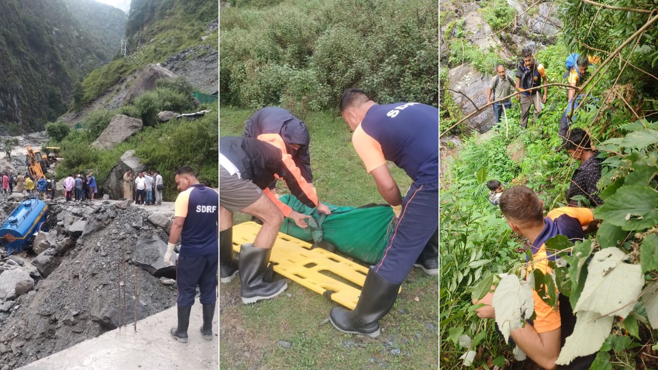
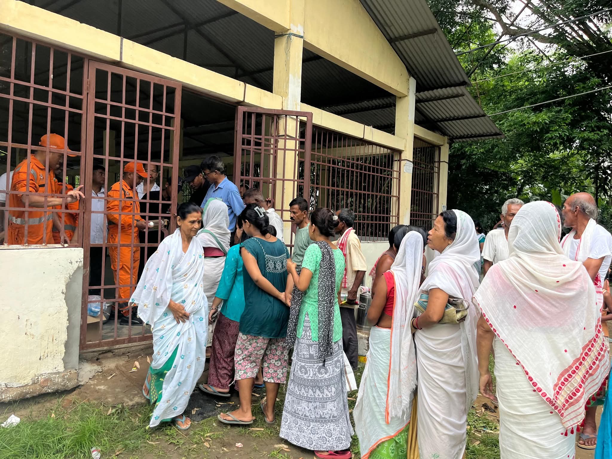
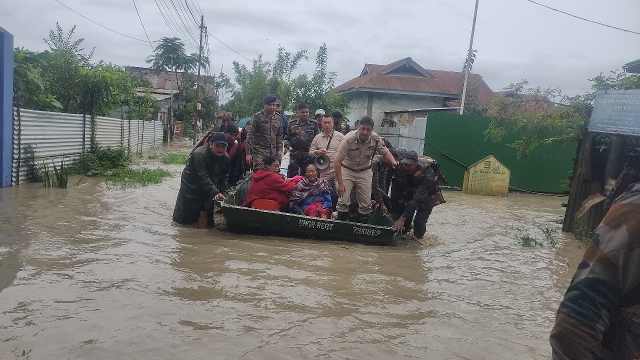
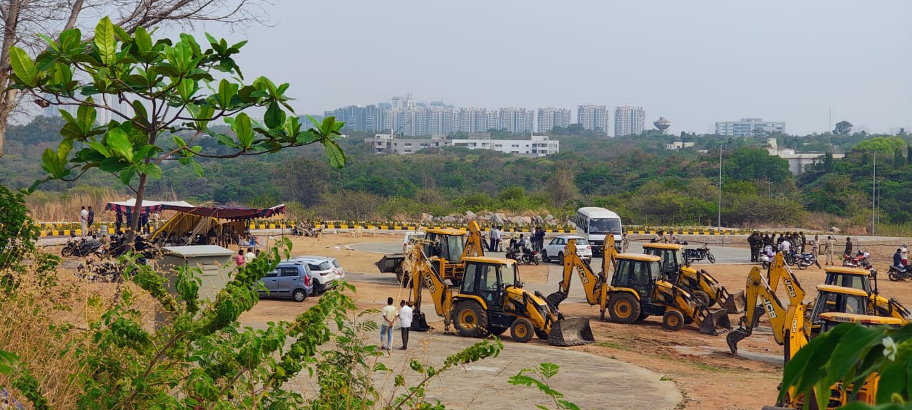
Despite several days of post-disaster rescue efforts by the National Disaster Response Force, State Disaster Response Force, the Indian Army, the Indo-Tibetan Border Police, and Uttarkashi district administration teams, only one body had been recovered as of August 13. According to the Dehradun-based State Emergency Operation Centre, at least 68 people remain missing from Dharali and Harsil, a settlement about three kilometres away from Dharali, where an army camp was damaged in another flood-related disaster that also struck on August 5, leaving nine army personnel missing.
The 40-60 feet of sediment and boulders deposited by the flash flood in Dharali’s market areas have made it almost impossible to locate and recover bodies. The people missing comprise Dharali residents, tourists, and labourers, mostly from Nepal, Bihar, and Uttar Pradesh, of whom the majority, 25, are Nepali labourers.
The primary cause of the flash flood is still unknown. However, experts speculate that it could have been a rock and ice avalanche, followed by temporary damming that was later breached, which may have caused the flood. Alternatively, a possible landslide lake outburst flood (LLOF) may have occurred. The Uttarakhand government initially claimed that the flood was caused by a cloudburst, but experts are yet to confirm this.
Increased construction despite a history of floods
When Sanjay Saini, a mountaineer, first set foot in Dharali in 1996, he saw just four buildings in the market area that now lies buried under heaps of sediment, boulders, and rubble.
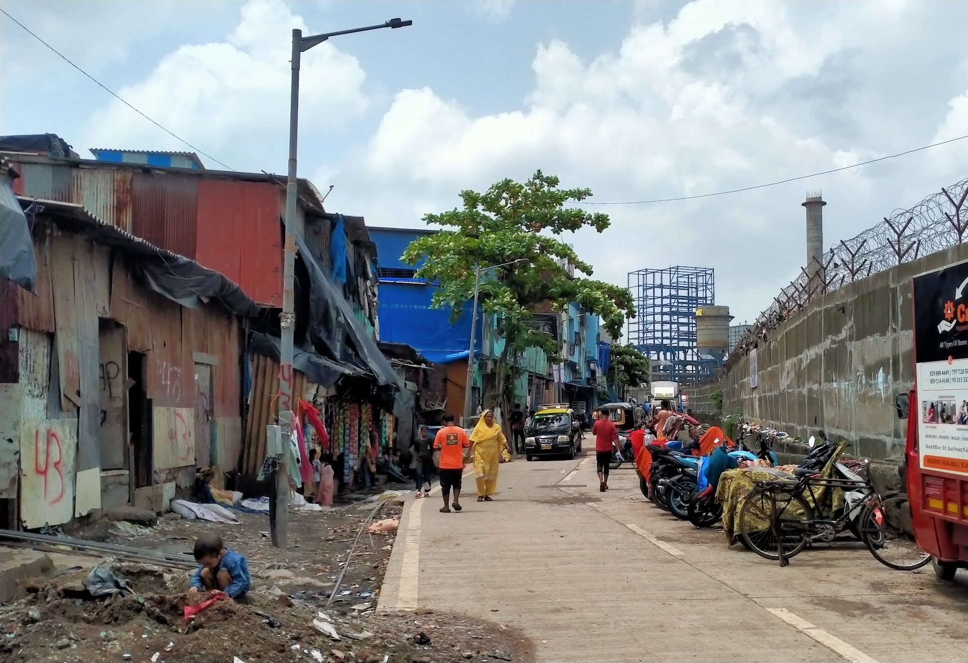
Construction of houses, lodges, shops, and hotels in the same area gathered pace only in the past two decades, driven by rising tourist numbers in the area and pilgrim footfall to the Gangotri shrine, about 20 kilometres from Dharali. Resorts followed, and a few years ago, homestays also began to appear.
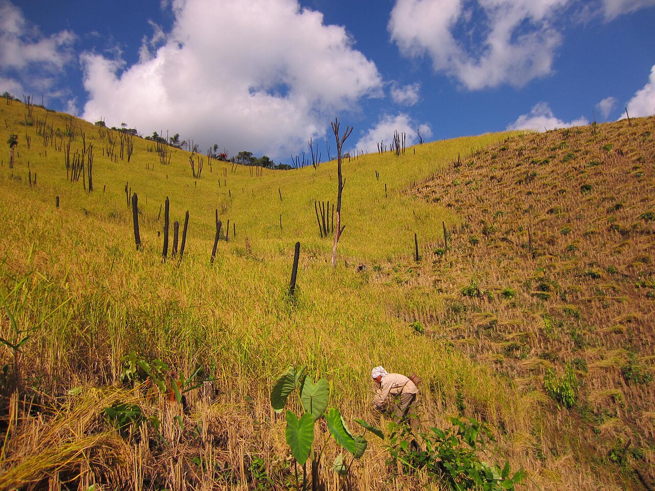
“Traditionally, houses in this region were built on stable slopes, away from rivers. It was well understood that streams in the Himalaya are not always gentle. They are powerful and have carved out valleys over millennia,” said Piyoosh Rautela, a geologist and former executive director at the Uttarakhand State Disaster Management Authority.
In recent times however, settlements have come up in economically viable yet unstable areas, mostly along roads and rivers.
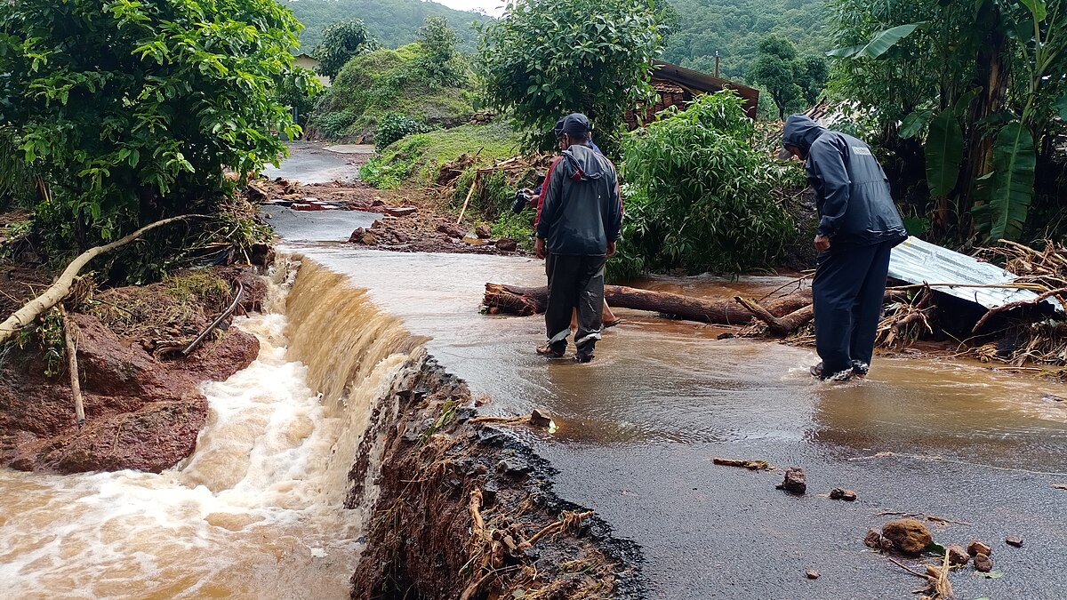
In June 2013, when several rivers in Uttarakhand were in spate, the Kheer Gad also flooded. At the time, large amounts of sediment and rocks brought by the stream were deposited in the Dharali market area. A few hotels near the stream were damaged, many buildings were filled with five to 10 feet of sediment, and several cars were buried under the sediment.
“Extensive flood protection works were carried out along the Kheer Gad after the 2013 flood, so we thought our worries about future floods had been resolved,” said 36-year-old Dharali resident Bhimraj Panwar, whose ancestral house was completely damaged in the August 5 disaster. Post-2013, when RCC (reinforced cement concrete) walls were built on the sides of the stream to protect the village from future floods, more buildings were constructed in the Dharali market area, Panwar said.
Dharali residents recalled that they witnessed a flood in 2018 too.
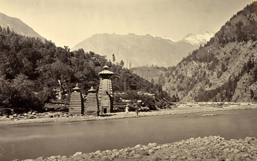
Historically, too, the village has witnessed flooding. Kalp Kedar, a temple in the village, located in the disaster-hit area, now lies completely buried under material brought down by the flood. In the past too, it was likely buried under debris from a flooded Kheer Gad and was partly excavated around the 1980s, said a senior geologist, Navin Juyal.
“This shows that the area has been experiencing the deposition of sediments from floods for a long time,” Juyal said.
Constructing on Kheer Gad’s path
On August 7, two days after the disaster, the Indian Space Research Organisation’s National Remote Sensing Centre released images sourced through Cartosat-2S satellites. These images show the village before the disaster on June 13, 2024, and after the disaster on August 7, 2025. The images reveal the extent of damage in the Dharali market area following the flash flood.
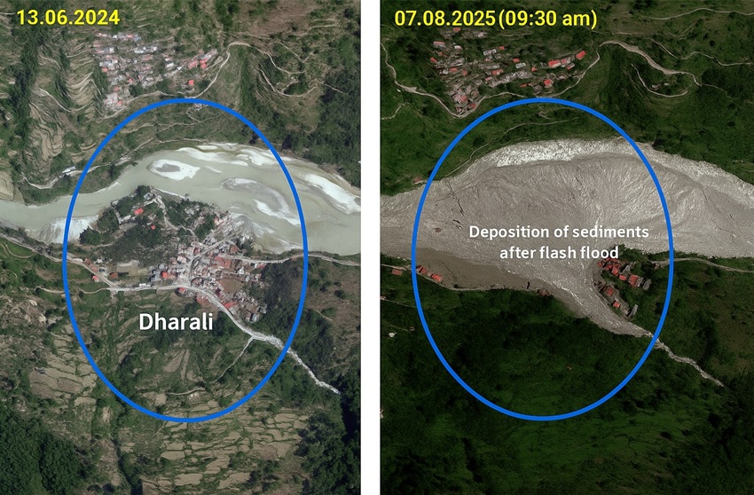
The images show that the market was established on a land shaped like a fan–scientifically called a debris-flow fan– formed over the years by sediments deposited during high, medium, and low flows in the Kheer Gad.
“Establishing a settlement on land where the river continually deposits sediments is precarious, as it carries the risk of a Dharali-like disaster,” said Wolfgang Schwanghart, a geomorphologist at the University of Potsdam, Germany, who has been studying natural hazards and disasters in Himalayan areas, including Uttarakhand, for over a decade.
Schwanghart noted that even though suitable land for settlement is scarce in the difficult terrain of Uttarakhand Himalayas, debris-flow fans should be strictly avoided for construction and habitation, and should be left undisturbed.
Manish Kumar, an ecohydrologist and climate adaptation professional who has worked on Himalayan hydrology, including in Uttarakhand, for nearly two decades, described debris-flow fans as “safety valves” of streams like the Kheer Gad, which flow through steep slopes before entering flatter areas. Kumar explained, “Constructing over these fans is like choking the stream’s safety valves. The stream is bound to break out and reclaim its area sooner or later, which is what happened in Dharali.”
The disaster, Kumar said, was a warning against unrestricted development in sensitive and complex Himalayan areas.
On August 11, Uttarakhand Chief Minister Pushkar Singh Dhami instructed officials to identify disaster-prone areas in the state and ensure that no new constructions are built there. He also gave instructions to ban construction near water bodies, such as rivers and streams.
In 2013, too, when floods struck several parts of Uttarakhand and at least 4,000 people died in the Kedarnath Valley alone, the then Chief Minister Vijay Bahuguna banned construction along river banks. However, in reality, several buildings, especially hotels, beside rivers that were swept away in the floods were rebuilt, some on the very same spots where they had earlier stood. After 2013, environmental norms continued to be violated for the construction of several large infrastructure projects such as hydropower and national highways.
Responding to Dhami’s decision to ban future construction in hazard-prone areas, Ravi Chopra, a Dehradun-based environmental scientist and development activist, said, “This is simply an executive order to officials and does not carry legal weight. In fact, it has a major lacuna – it addresses future construction activities. What about existing settlements like Dharali? How is the government planning to ensure the safety of those already living in hazard-prone areas?”
Following the 2013 disaster, orders, including those by the Uttarakhand High Court and the National Green Tribunal, were issued to prevent building near rivers. However, these orders were also violated.
“What we need is a committed officialdom that will ensure measures are taken to mitigate disasters. That commitment is usually missing,” said Chopra, who, after the 2013 Uttarakhand disaster, headed two Supreme Court-appointed committees to review the impacts of hydropower projects, and a mega national highway widening project in Uttarakhand – the Char Dham Pariyojana.
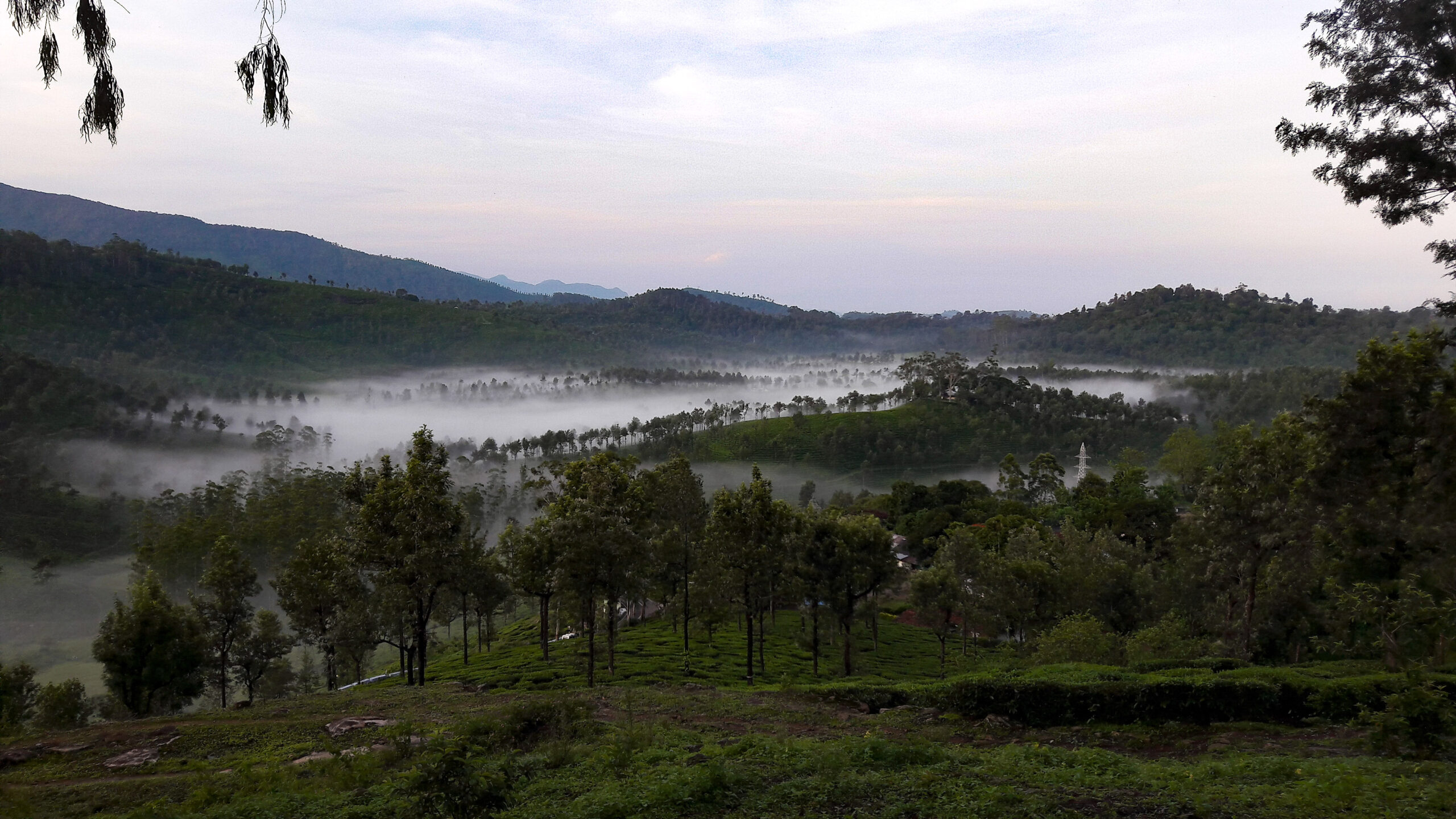
Deodar felling risks slope stability
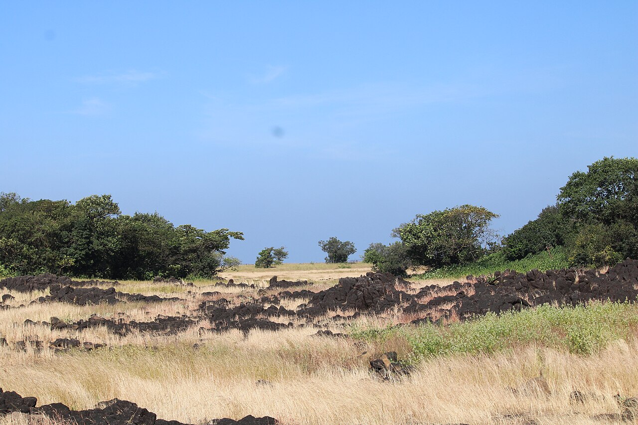
A looming threat to Dharali and nearby villages is the proposed felling of about 6,000 deodar (Himalayan cedar) trees to widen National Highway (NH) -34, the road to the Gangotri shrine. These trees stand along a 10-kilometre stretch between Jhala and Jangla in Uttarkashi district, which includes Dharali and Harsil. Meanwhile, the Border Roads Organisation (BRO) has been pushing to widen the national highway at the cost of felling these trees and weakening slope stability.
Experts warn that cutting these trees will destabilise slopes, increasing the risk of landslides. This Jhala-Jangla stretch is part of the Char Dham Pariyojana, a Ministry of Road Transport and Highways’ (MoRTH) project aimed at widening 889 kilometres of national highways in Uttarakhand. The project has faced criticism for reasons including MoRTH’s decision to divide the 889 kilometres in 53 smaller sections to avoid environmental impact assessment (EIA).
In 2023, MoRTH asked geologist Juyal, environmentalist Hemant Dhyani, and hydrogeologist Rajneesh Khilnani to review the Detailed Project Report (DPR) for a particular stretch of the Char Dham project – 100 kilometres of NH-34 between Gangotri and Uttarkashi. The DPR had proposed expansion of the road to a 10-metre-wide tarred surface (called double lane with paved shoulder, or DL-PS configuration). The experts were tasked with suggesting disaster-resilient alternatives that minimise slope disturbance during road widening.
Their recommendations included constructing RCC walls on the side of the road facing away from the slope, and filling them with locally available sediments. This approach would help save the trees from being felled and keep the slopes undisturbed.
The Jhala-Jangla segment, which lies within the stretch that the experts reviewed, is particularly sensitive. The 6,000 trees marked for felling on this segment stand on slopes strewn with rocks and boulders, which are debris from past avalanches.
“Trees have the essential function of gripping these slopes with their roots, thereby keeping these slopes stable,” Juyal said.
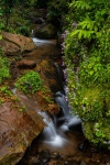
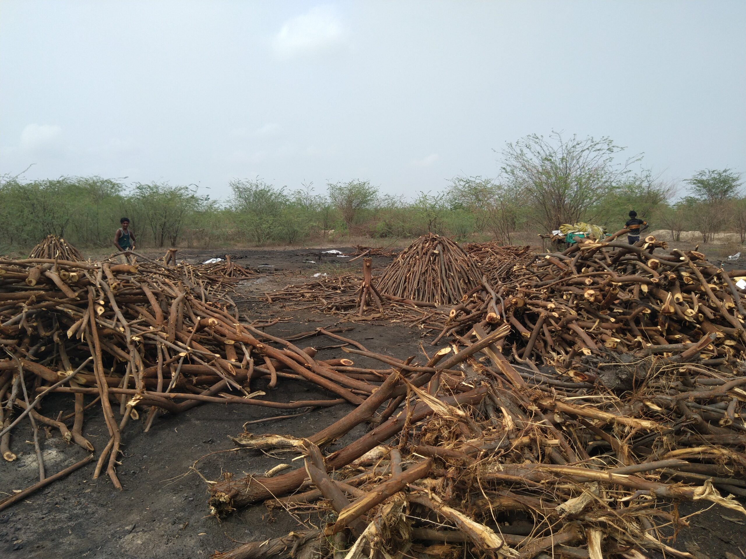
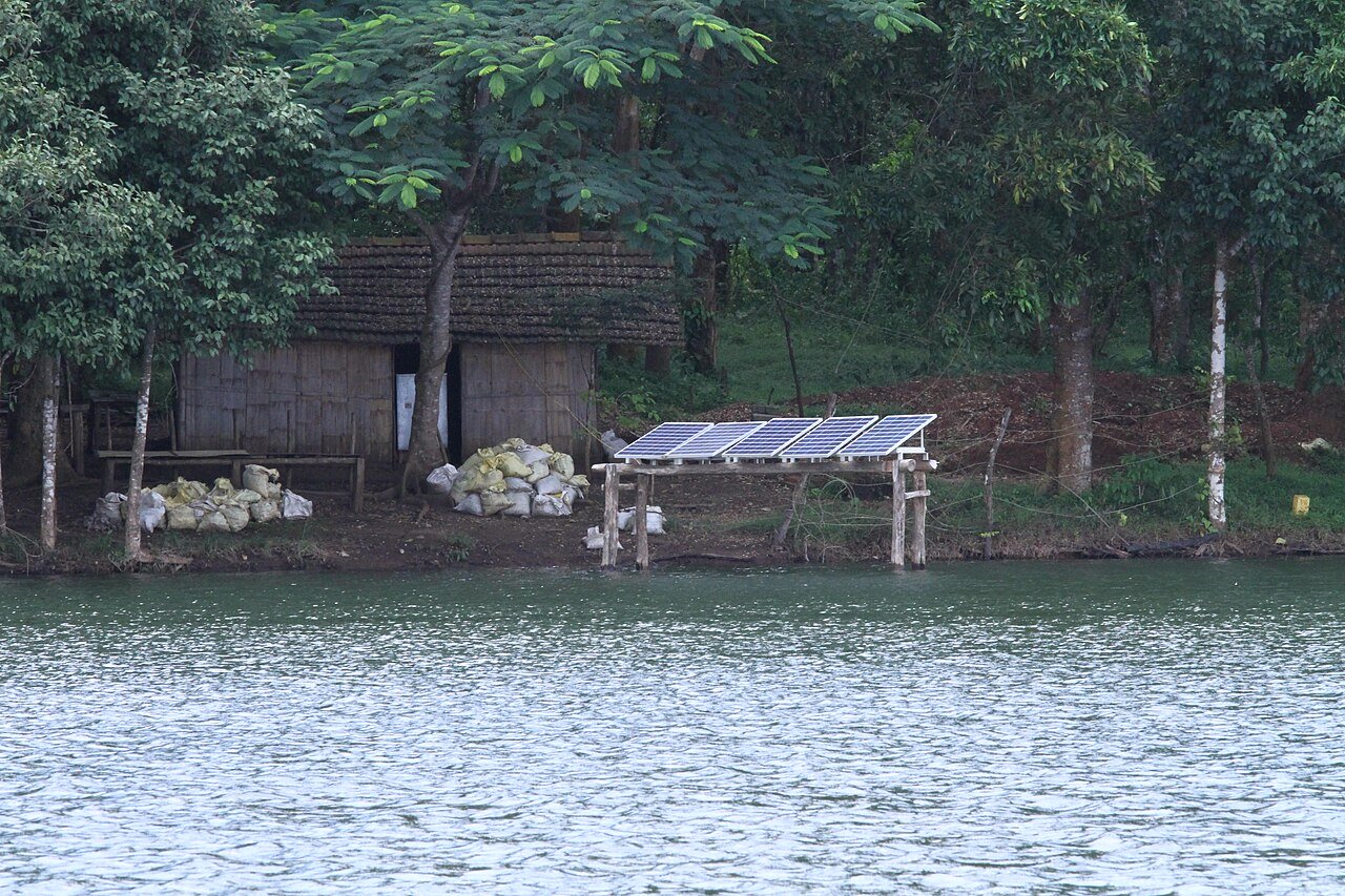
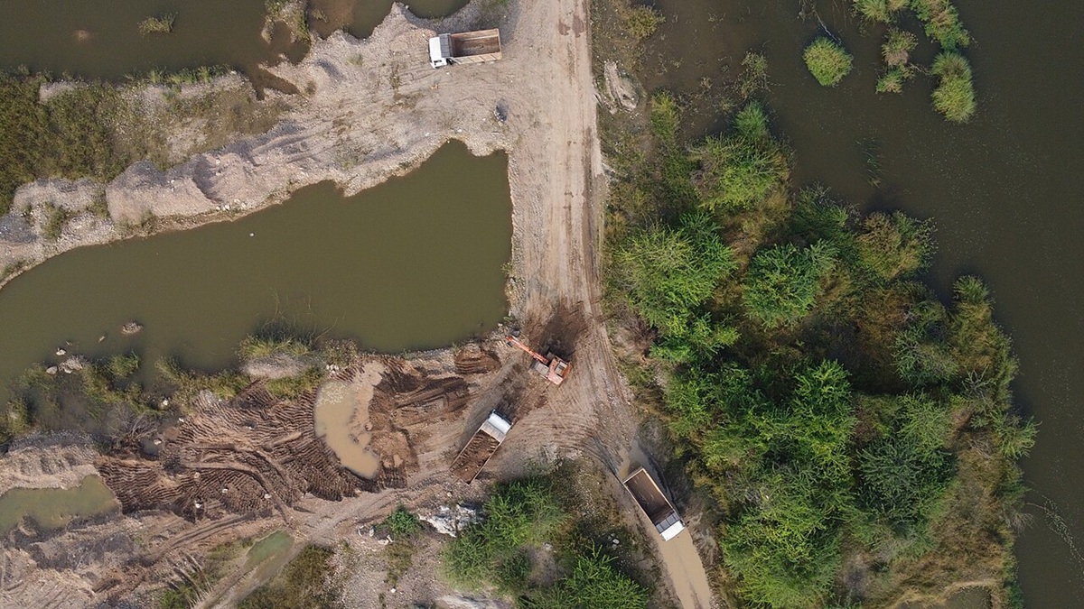
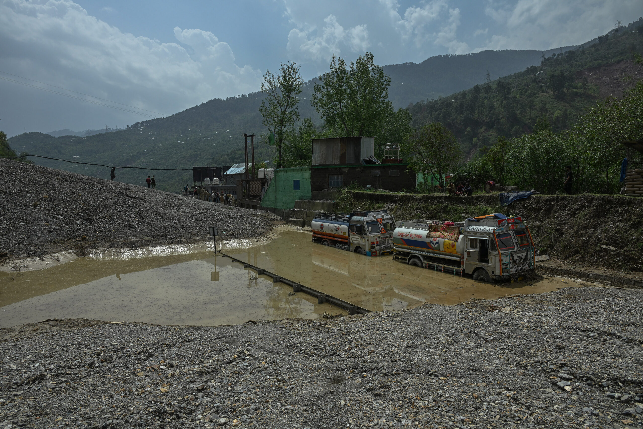
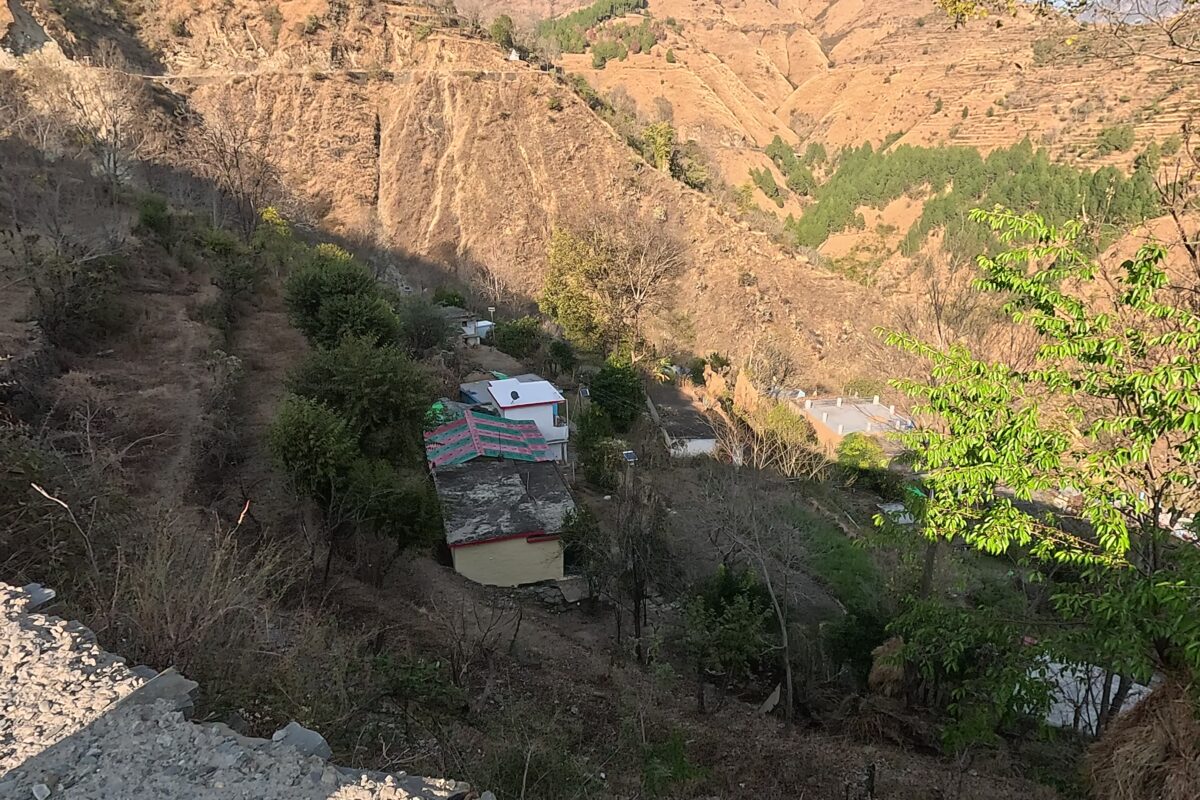
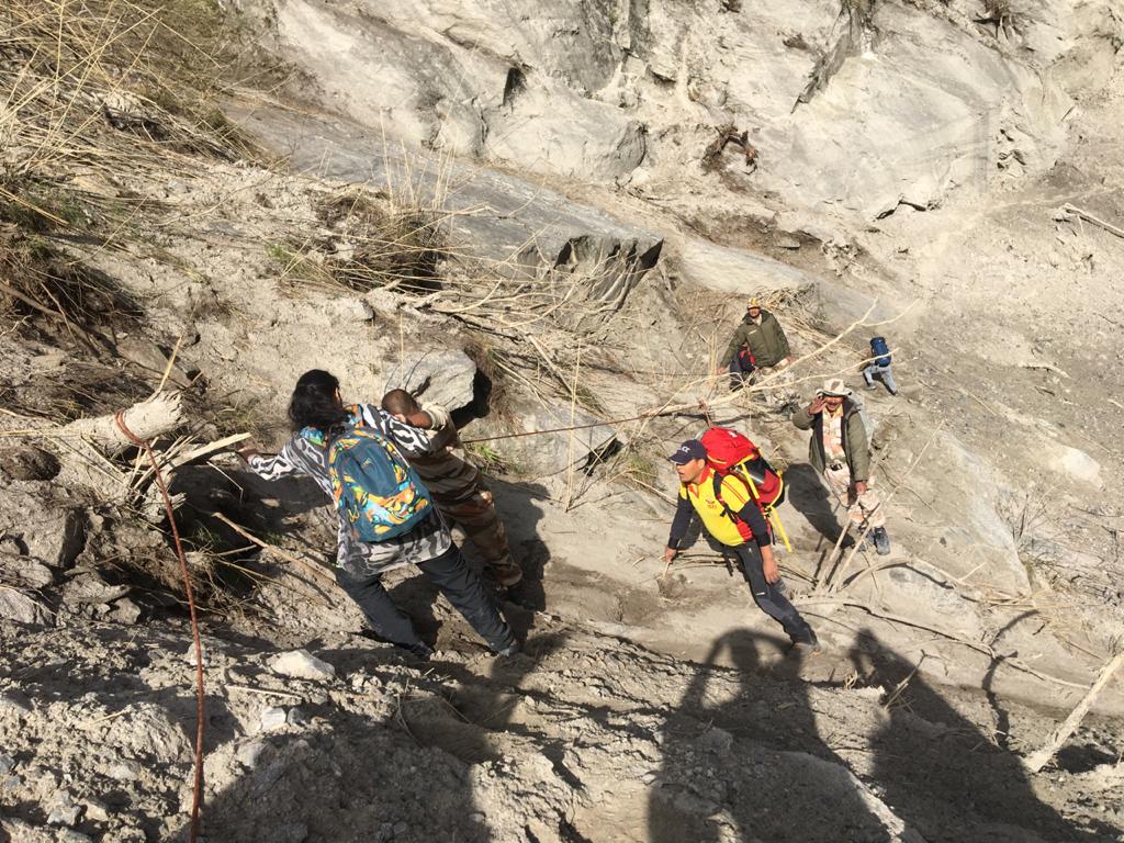
Flood protection work done in Dharali after the 2013 disaster. Image by special arrangement.
Dhyani said, “Streams here, like the Kheer Gad, are already prone to flash floods, which have damaged NH-34 in the past, too. Cutting thousands of deodar trees adds further risk of the highway being frequently damaged by future landslides.”
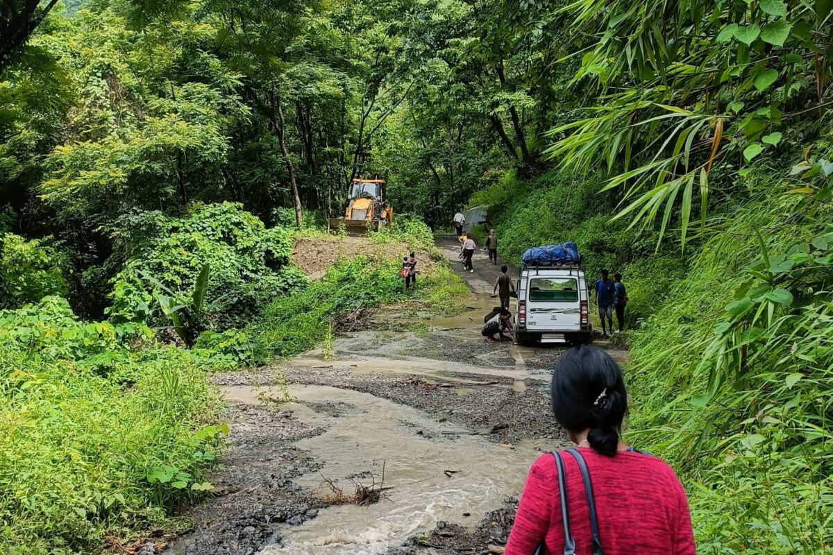
Parts of NH-34 were also damaged during the August 5 disaster, delaying rescue efforts.
Also, the 10-kilometre stretch between Jhala and Jangla, falls within the Bhagirathi eco-sensitive zone (BESZ), which was notified in 2012, where construction work in hazard zones, on steep slopes, and on slopes with high erosion is prohibited. In 2019, the Supreme Court gave directions to form a High-Powered Committee (HPC) to review the Char Dham project. For works in BESZ, the HPC recommended avoiding deodar felling, conducting detailed EIA, and securing necessary clearances from the environment ministry.
Dhyani, who is also an HPC member, said that the BRO did not follow the HPC recommendations.
The BRO’s push for cutting the 6,000 deodar trees is also in violation of a Supreme Court judgment of December 14, 2021, regarding the Char Dham project, which gives directions to avoid felling of deodar trees.
A civil society group from Uttarkashi, ‘Himalayi Nagrik Drishti Manch’, alleges that to bypass environmental clearance, the BRO concealed from the environment ministry that the Jhala-Jangla stretch lies within BESZ. On August 19, 2024, the BRO wrote to the Uttarakhand forest department claiming that EIA and environmental clearance might not be necessary.
Mongabay India emailed the BRO for their response regarding the alleged violations and received no response at the time of publishing.
In view of the August 5 disaster in Dharali and the need to maintain slope stability in and around the village, Juyal and Dhyani submitted a note to MoRTH on August 12, urging it to consider an alternative approach to widening the Jhala-Jangla stretch to save the 6,000 deodar trees from being felled.
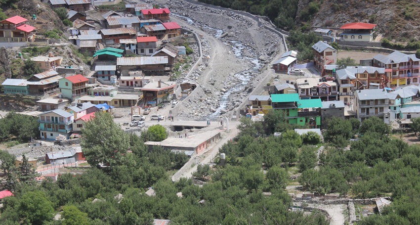
Banner image: A ravaged Dharali after the flash flood in Kheer Gad on August 5, 2025. Image by Hridayesh Joshi.