- Tectonic forces have long shaped the uplifted mountain ridges of the Tibetan Plateau, making it a longstanding focus of geological and climatic research.
- The interactions among topography, climate, and biodiversity in the Tibetan region are intricate, and the development of the Asian monsoon is linked to the changing topography of Tibet and the Himalayas.
- Studying how the Himalayas and Tibet formed over time can help us understand their role in shaping the Asian monsoon.
- The views in the commentary are that of the author.
The land of striking contrasts in morphology — the rugged Tibetan Plateau has always challenged explorers, as do its vast flat expanses. Heinrich Harrer, an Austrian mountaineer who escaped from an internment camp in Dehradun in 1943 with some of the inmates, journeyed on foot through the challenging mountainous terrain to Lhasa, the capital of Tibet. In a passage in his book Seven Years in Tibet, he expressed his awe at this land of topographic extremes: “The next day, we reached the top of the pass and were astonished to find that there was no descent and that we had simply come to a high plateau. The view over the unending plain was discouraging. One seemed to be facing infinity, and the huge spaces would certainly take months to cross. As far as we could see, there was no sign of life, and an ice-cold wind blew over the snow.”
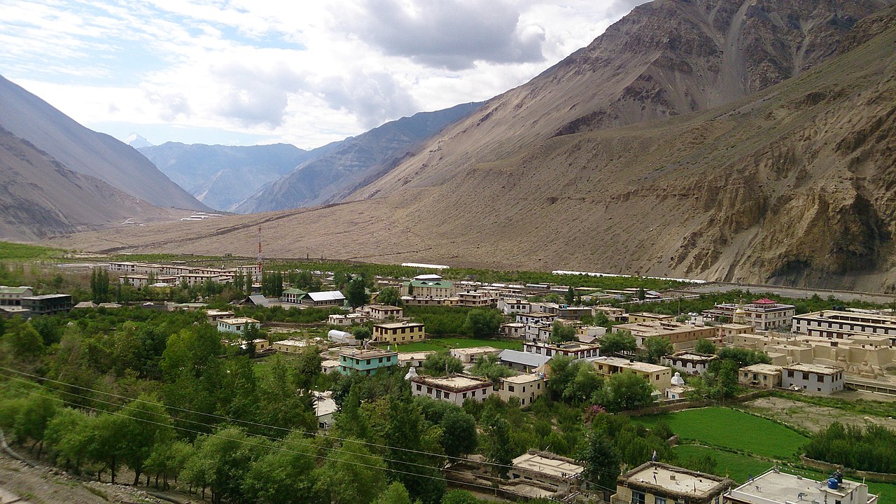
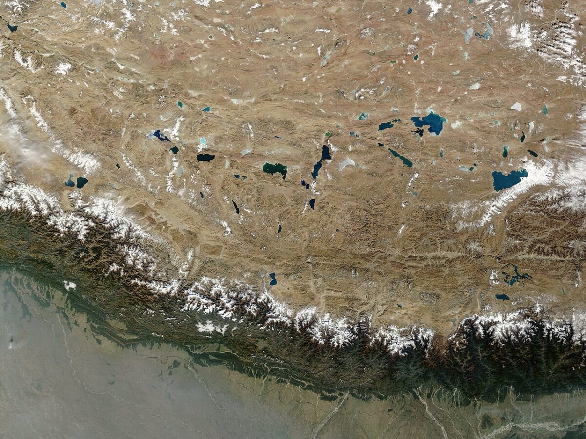
With a mean elevation of over 4,500 metres and an extensive area of approximately 25,00,000 square kilometres, the Tibetan Plateau covers an area that surpasses some countries in size.
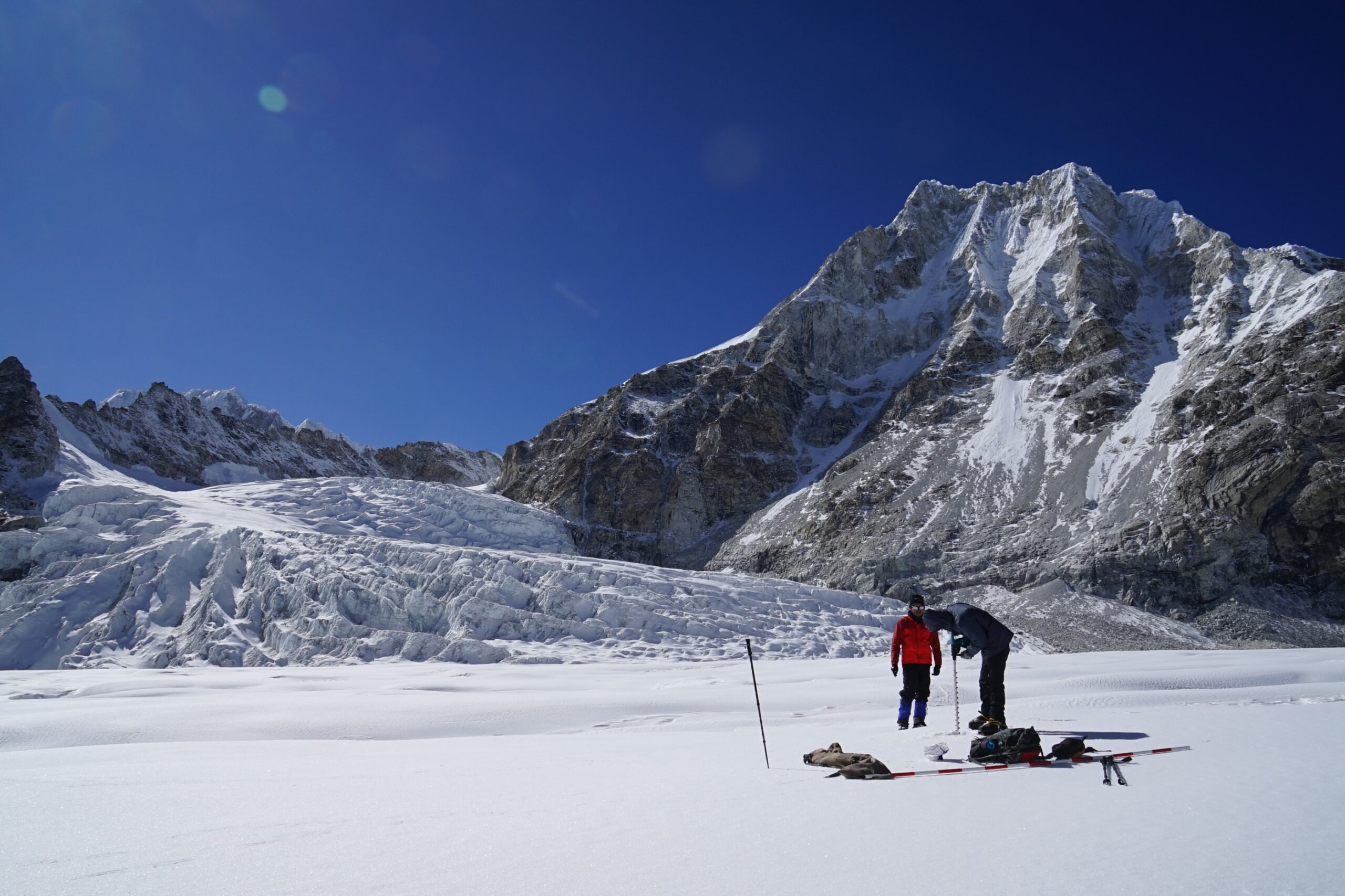
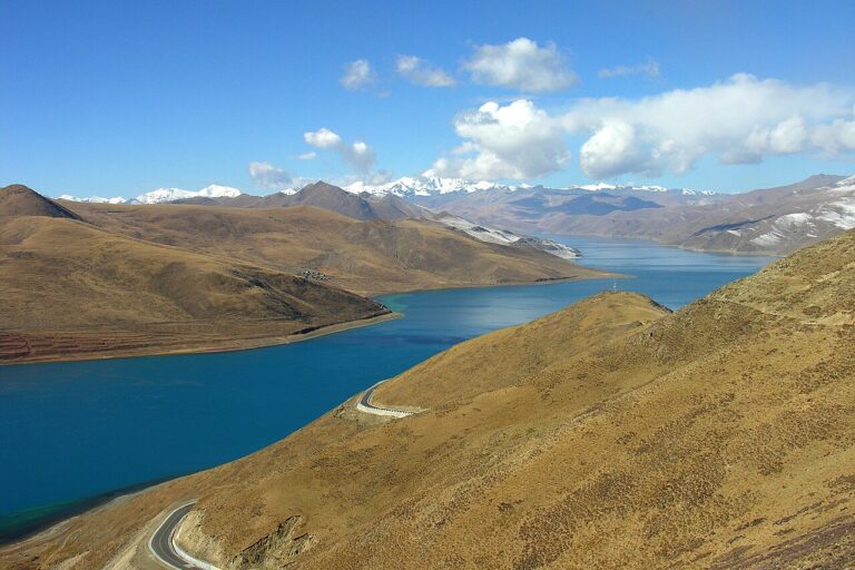
Geographically, the Tibetan Plateau lies north of the Himalayas and the Indian subcontinent, and south of the Tarim Basin and Mongolia. As the highest plateau on Earth, it also features some of the region’s deep, glacier-fed lakes. Its glaciers feed major Asian rivers, originating on the Tibetan Plateau, including the Indus, Sutlej, Brahmaputra, Mekong, Salween, and Irrawaddy, which play a crucial role in supplying freshwater to a large portion of the world’s population. The Plateau, therefore, has acquired many symbolic titles such as the “Roof of the World,” “Water Tower,” and “Third Pole.” The Plateau has a hypoxic environment of low oxygen, high radiation and low temperature. The unique genetic adaptations help people there to survive in an oxygen-deficient environment.
The rise of the Tibetan Plateau
Tectonic forces have long shaped the crumpled, uplifted mountain ridges of the Tibetan Plateau, making it a longstanding focus of geological and climatic research. Peter Molnar, an American geophysicist and a pioneer of Tibetan tectonics, describes it as one of Earth’s extraordinary irregularities and a topographic anomaly.
We have now acquired much geological and geophysical data to gain deep insights into its evolution. The final rise of the Tibetan Plateau was partly driven by the collision of the Indian and Eurasian plates 40 to 60 million years ago. Over geological time, India must have slid as much as 1,000 kilometres under southern Asia, thickening the crust under the Plateau. But Tibet is not a monolithic block formed during a single India-Asia collision event. The uplift of the Plateau was heterogeneous in space and in time. Studies indicate that it is an assemblage of ancient terranes sutured to the Eurasian plate, beginning in the early Mesozoic Era (250 million years ago), preceding the India-Asia collision.
The early Paleogene period (55 ± 10 million years ago) is likely the most probable time for the start of the India–Lhasa terrane collision, which was the final event that shaped the Tibetan Plateau and marked the beginning of the Himalayan mountains’ uplift and Tibet’s further elevation. The interaction between the India and the Asia plates caused Tibet’s crust to thicken further due to the underthrusting of the Indian plate, resulting in Tibet being buoyantly uplifted. The immense height and weight of the Tibetan Plateau created gravitational instability, causing it to spread outward and downward, like a thick pancake collapsing under its weight.
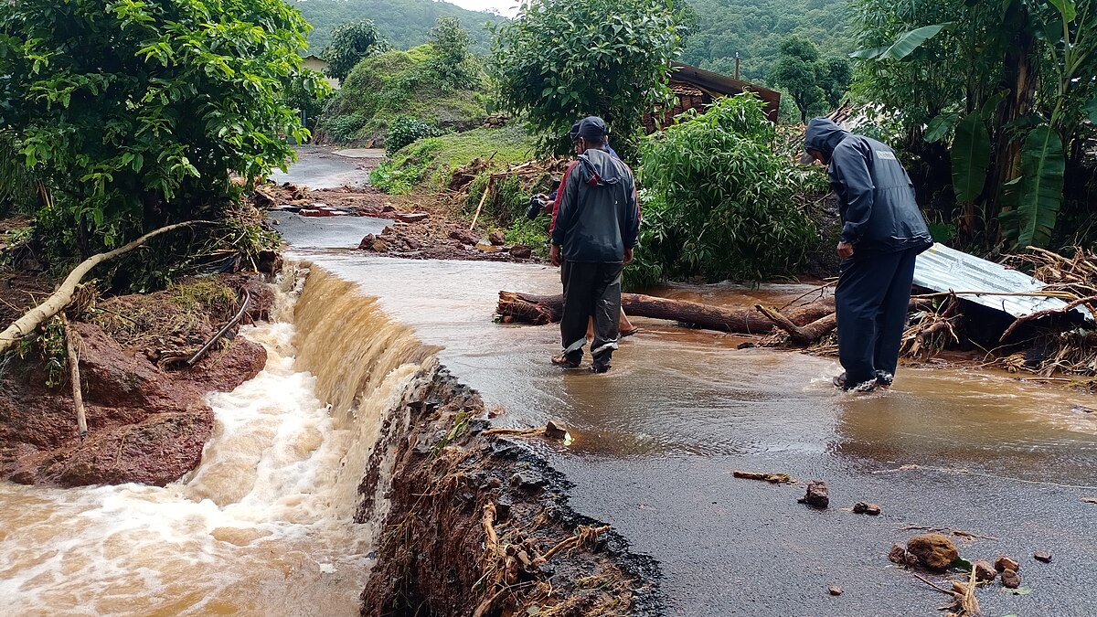
The lower crust of a plateau can become weak and mobile because of factors such as high temperatures and the presence of fluids, allowing it to flow outward and contribute to the collapse.A few million years ago, the Tibetan plateau began its ‘gravitational collapse’. The crustal extension in Tibet is reflected in the earthquake mechanisms. Those occurring in the central part of the Plateau, including the recent one on January 7, 2025, with a magnitude of 7.1, display normal faulting mechanisms. A normal fault is a type of displacement where the block of rock above the slip plane moves downward relative to the block below, and such faulting occurs where the crust is stretched or extended.
Gravitational stresses also drive Tibet’s eastward extrusion, which is exemplified by earthquakes characterised by horizontal fault movements along major strike-slip faults on the eastern part of the Plateau. The eastward extrusion of Tibet coincided with an acceleration in Himalayan uplift and a slowdown of India’s northward motion around 26 million years ago. The slowing down of plate movement is attributed to the compressional resistance from Tibet.
The growth of Tibet and the evolution of monsoons
The Tibetan Plateau is shaped by both the mid-latitude westerlies (which bring winter snow and dry conditions) and the Asian monsoon (which delivers summer rainfall). The interactions among topography, climate, and biodiversity in the Tibetan region are intricate, and the development of the Asian monsoon is linked to the changing topography of Tibet and the Himalayas. Studies combining palaeoaltimetry with climate modelling have shown that south and central Tibet during the Paleogene — a geologic period from the end of the Cretaceous Period, 66 million years ago, to the start of the Neogene Period, 23 million years ago — were characterised by two east-west mountain ranges — the Gangdese Ranges in southern Tibet which run parallel to the Himalayas to the south, and the Qiangtang Ranges situated in the north.
These mountain ranges in the north and south are separated by a broad lowland. Ongoing compression from the south transformed this topography during the Eocene by narrowing the valley. Over time, compression from the northward movement of India continued to reduce the valley as uplift became active around 23 million years ago, and the central plateau reached its current height of 4,800 metres in the Neogene. By the mid-Miocene (about 15 million years ago), the Higher Himalayas had surpassed the height of the Gangdese Ranges in Tibet.
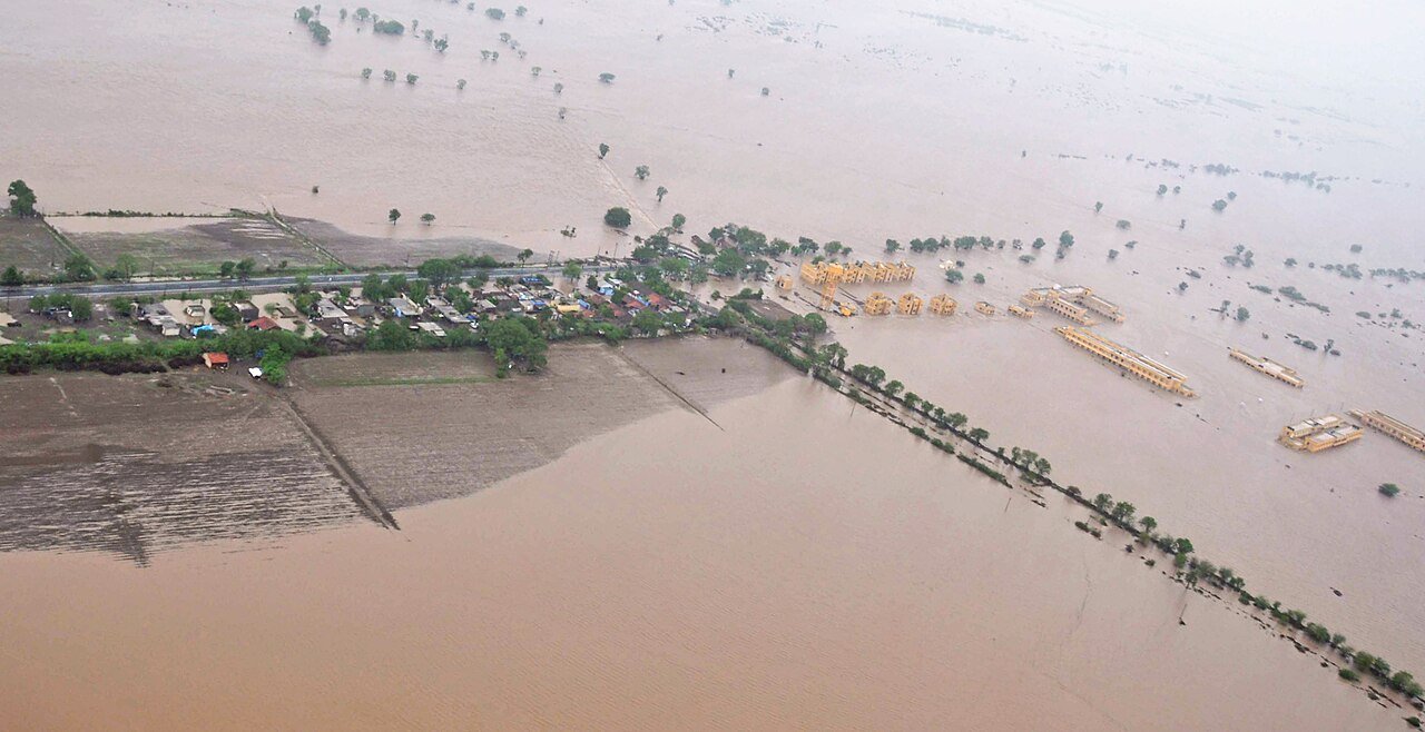
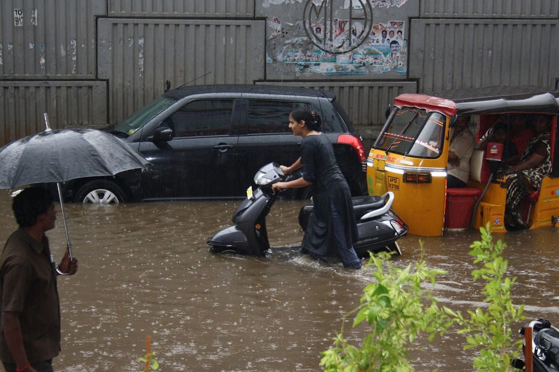
Studies suggest that when the Higher Himalayas reached a critical elevation, they became the dominant factor shaping the South Asian monsoon by acting as a barrier, forcing moisture-laden winds from the Indian Ocean to rise, cool, and condense, resulting in heavy rainfall over the Indian subcontinent. However, model experiments indicate that the Indian summer monsoon is more sensitive to the presence of the Himalayas and the Iranian Plateau than to the Tibetan Plateau. In contrast, the East Asian monsoon is more influenced by the Tibetan Plateau. Although models are essential for climate predictions, they have inherent biases that limit their ability to accurately simulate regional climate patterns.
The high topography of the Tibetan region, including the Himalayas, serves as a barrier to airflow, affecting regional climate. By cooling in winter and heating in summer, the Tibetan Plateau acts as a ‘thermal driver’ or a ‘heat pump’, shaping the direction and intensity of monsoon winds. A deeper understanding of the roles of the Himalayas and Tibet in controlling the Asian monsoon can be achieved by studying their long-term incremental topographic development and their impact on monsoon evolution.
The author is an adjunct professor at the National Institute of Advanced Studies, Bengaluru, and the director of the Consortium for Sustainable Development, Connecticut, U.S.A.
Citation:
- Boos WR and Kuaang Z., 2010. Dominant control of the South Asian monsoon by orographic insulation versus plateau heating. Nature, 463 (7278): 218-222.
- Molnar, P., and Chen, P. (1983). Focal depths and fault plane solutions of earthquakes under the Tibetan Plateau. Journal of Geophysical Research: Solid Earth, 88(B2), 1180-1196. https://doi.org/10.1029/JB088iB02p01180.
- Molnar, P. 1989. The Geologic Evolution of the Tibetan Plateau Author(s): Source: American Scientist, July-August 1989, Vol. 77, No. 4 (July-August 1989), pp. 350-360
- Molnar, P., England, P., and Martinod, J. (1993). Uplift of the Tibetan Plateau, and the Indian Monsoon. Reviews of Geophysics, 31, 357–396.
- https://blogs.reading.ac.uk/weather-and-climate-at-reading/2017/without-the-tibetan-plateau-what-would-happen-to-the-asian-summer-monsoons/
- Spicer, R.A., Tao Su, Paul J. Valdes, Alexander Farnsworth, Fei-Xiang Wu, Gongle Shi, Teresa E. V. Spicer and Zhekun Zhou. 2021. The topographic evolution of the Tibetan Region as revealed by palaeontology. Palaeobiodiversity and Palaeoenvironments (2021) 101:213–243 https://doi.org/10.1007/s12549-020-00452-1
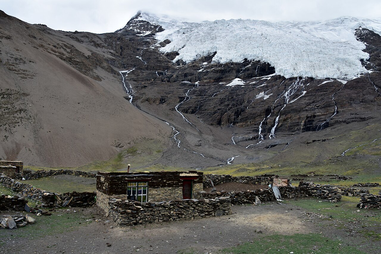
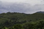
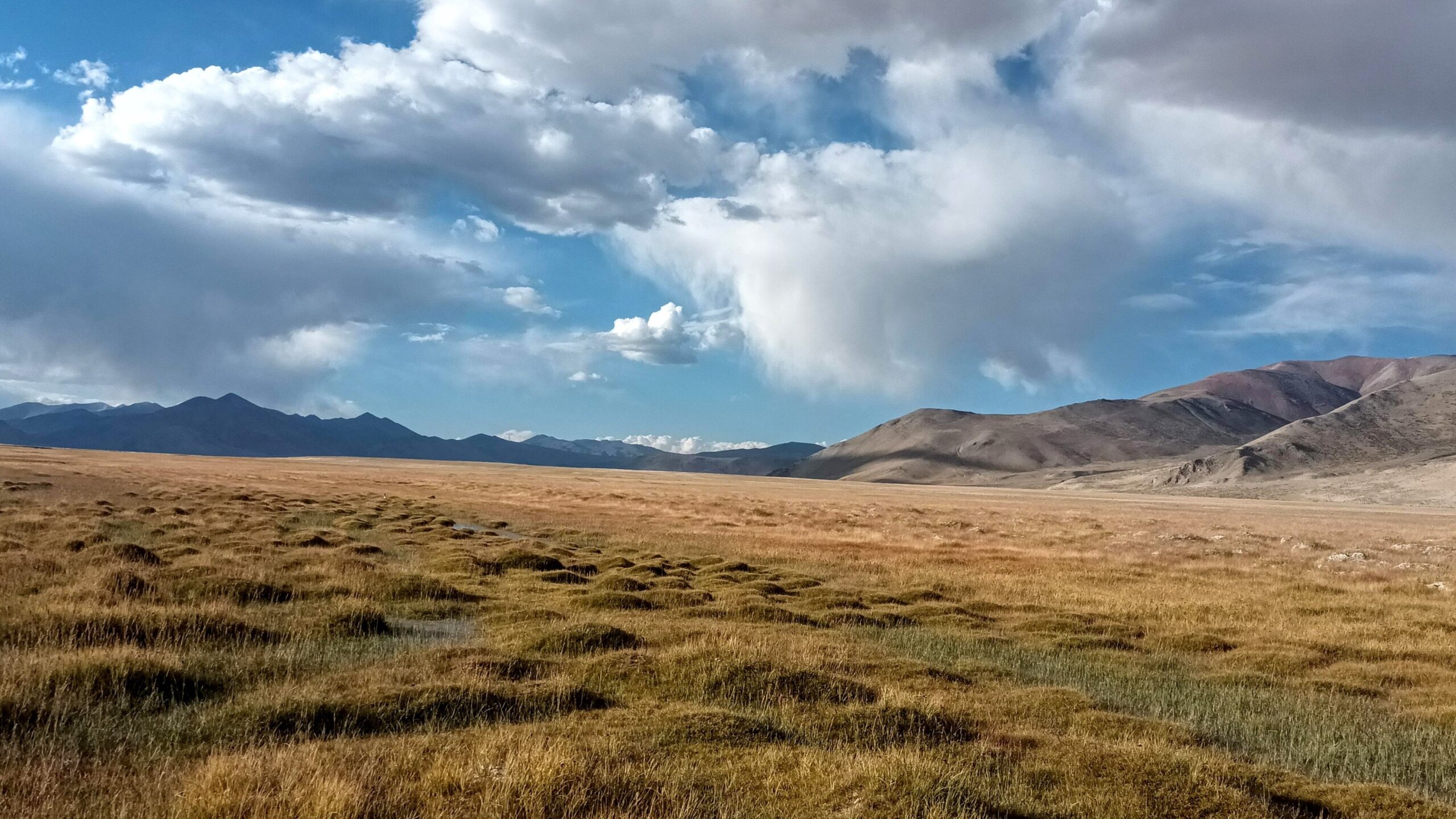
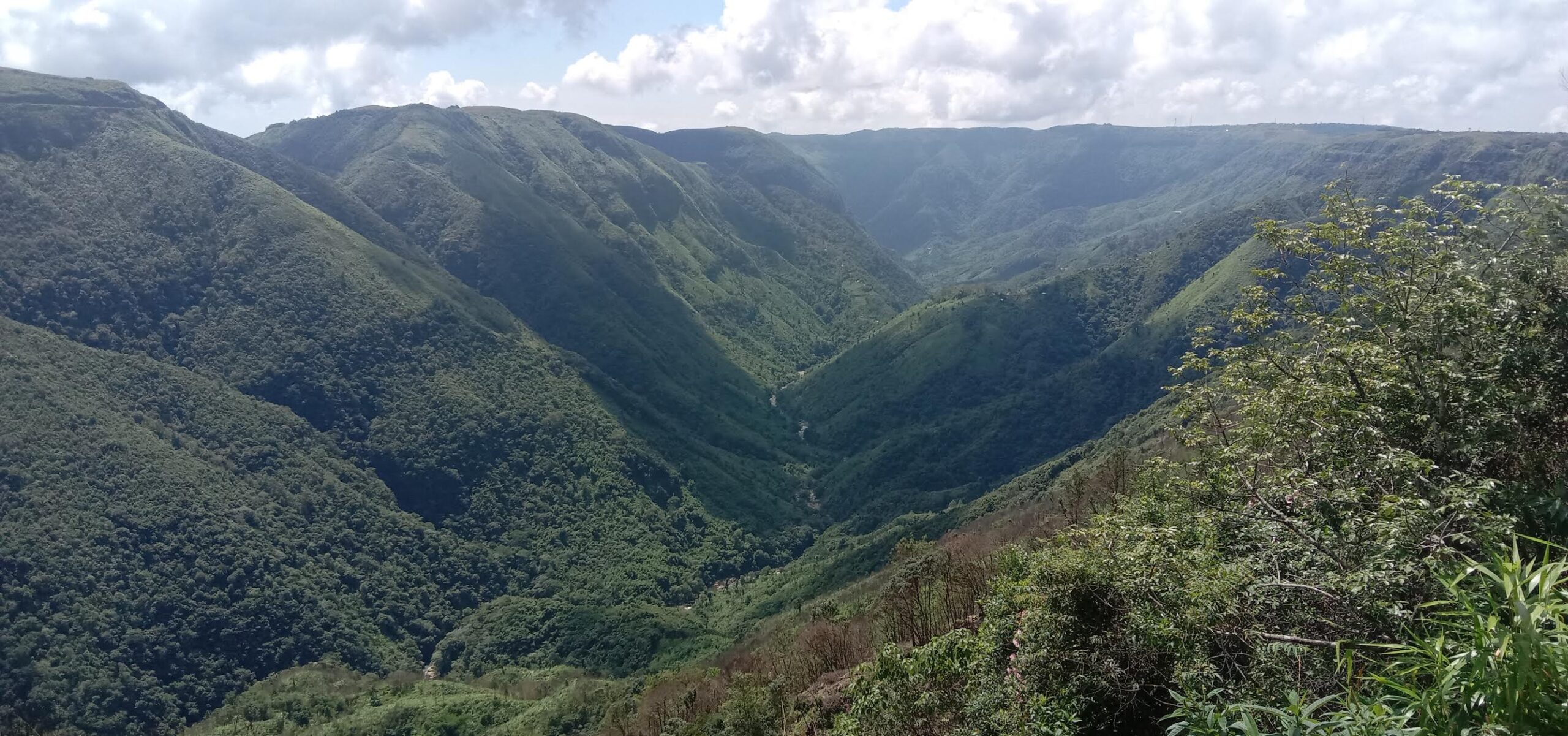
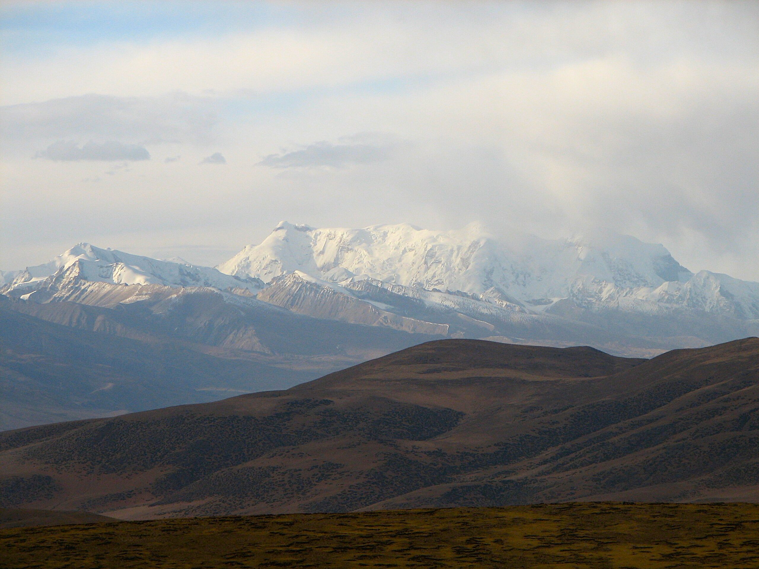
Banner image: Nyenchen Tanglha peak in central Tibet. Image by McKay Savage via Wikimedia Commons (CC BY 2.0).