- By comparing a large 177-year-old colonial map with modern satellite images, researchers found that the Nilgiris have lost nearly 80% of their grasslands since 1848.
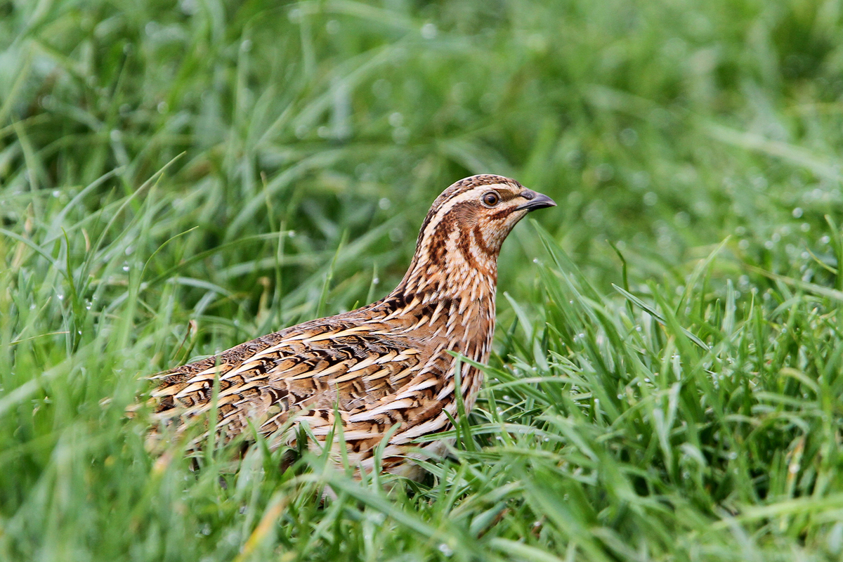
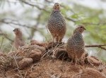
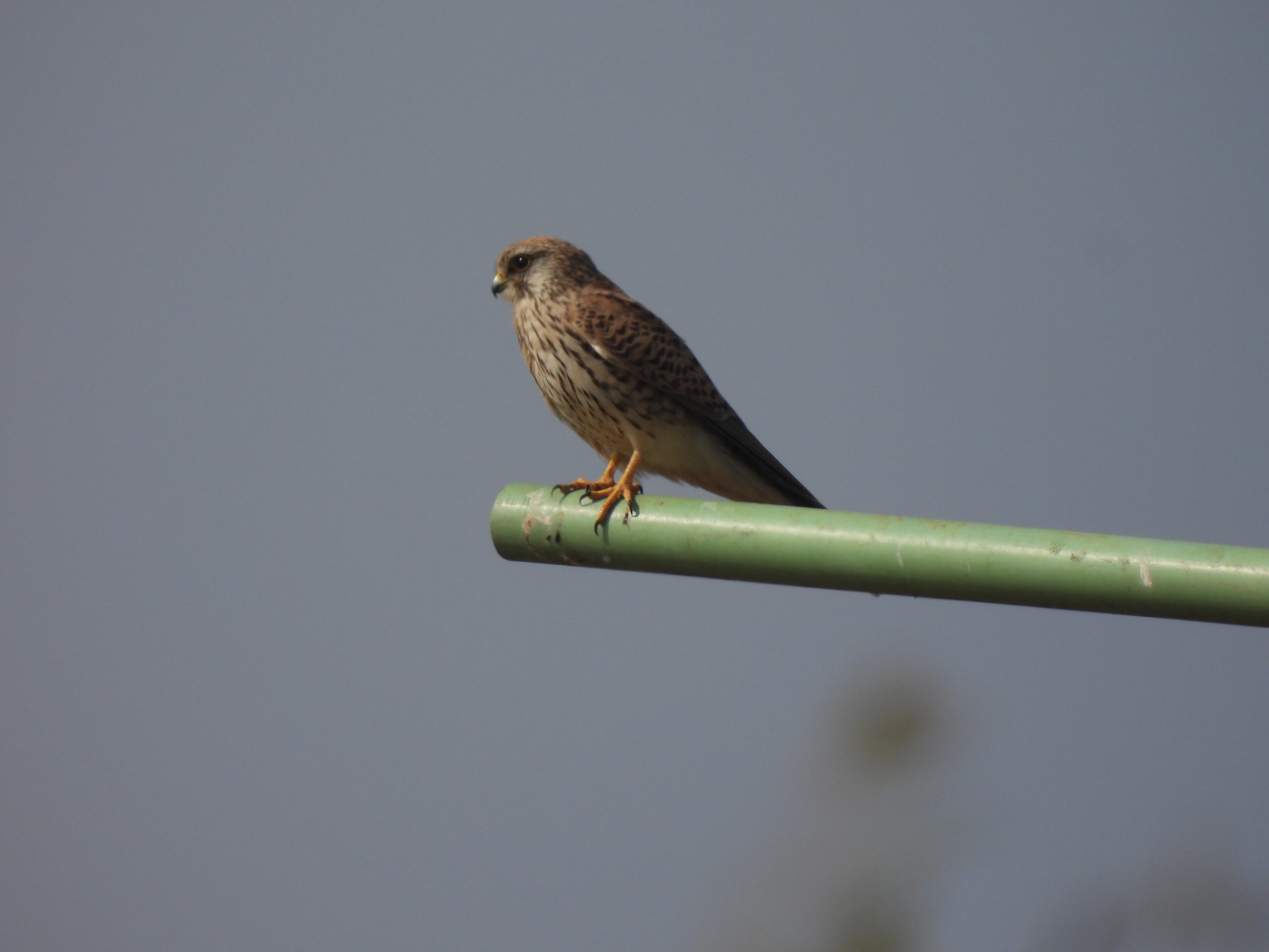
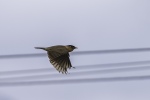
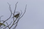
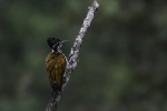
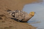
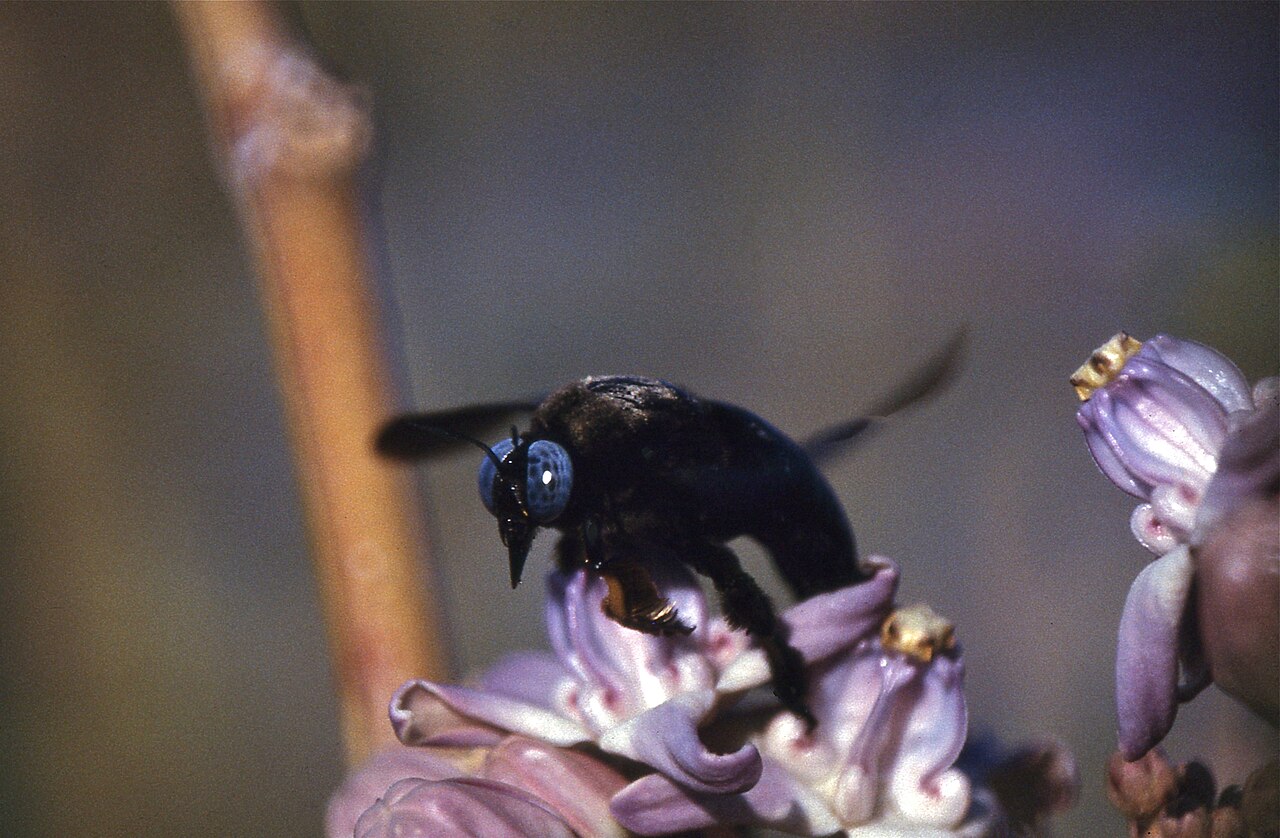
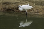
- Century-old bird specimens and naturalists’ diaries guided scientists back to the very sites where these species were once recorded, revealing that nearly 90% of grassland birds, including the Nilgiri pipit, have sharply declined.
- The study shows how colonial policies still shape today’s ecosystems and why preserving historic records is vital to understanding the present.
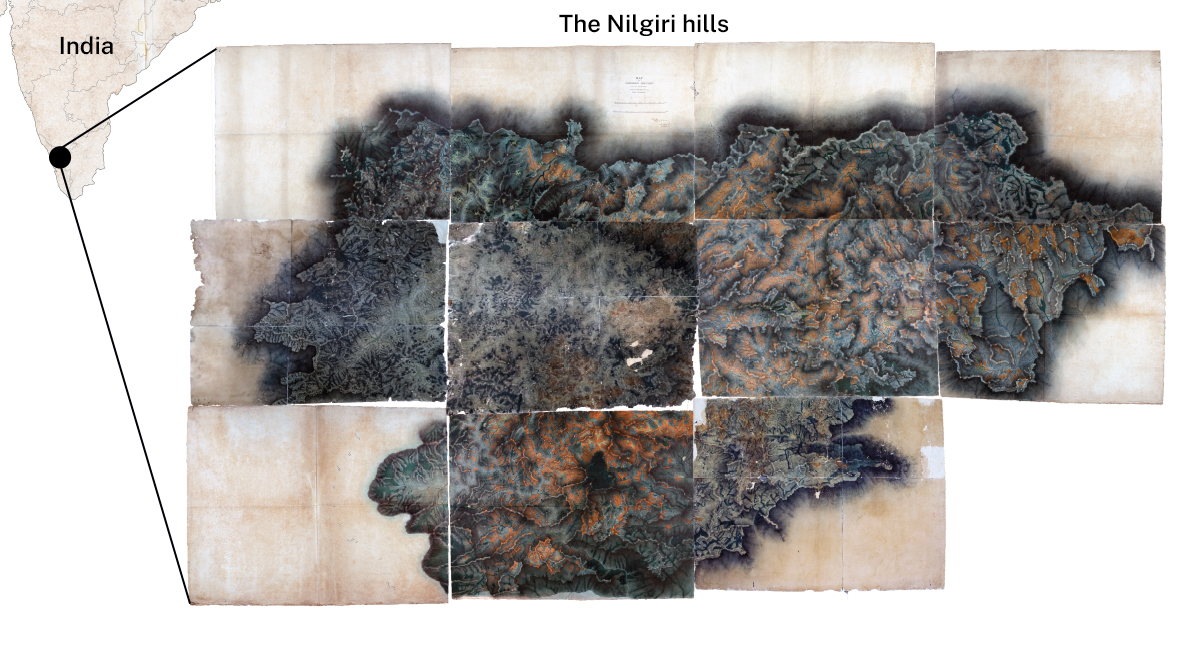
In a library in London, researchers carefully unfolded a fragile 177-year-old Indian map across the floor like a giant jigsaw puzzle. In another museum on the outskirts of London, researchers scanned through rows of century-old Indian bird specimens with handwritten labels neatly arranged in drawers. Together, these fragments helped the team tell a modern story: how British colonial-era policies triggered the collapse of the Nilgiris’ grasslands and the birds that once thrived there.
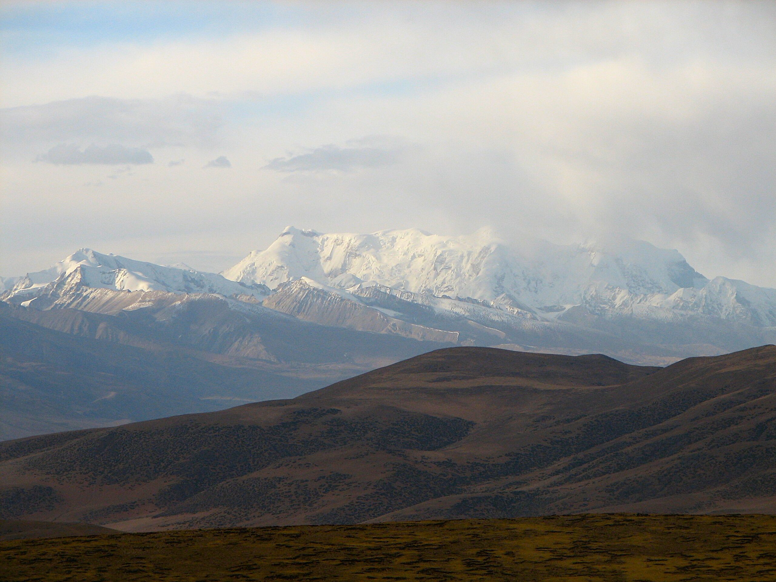
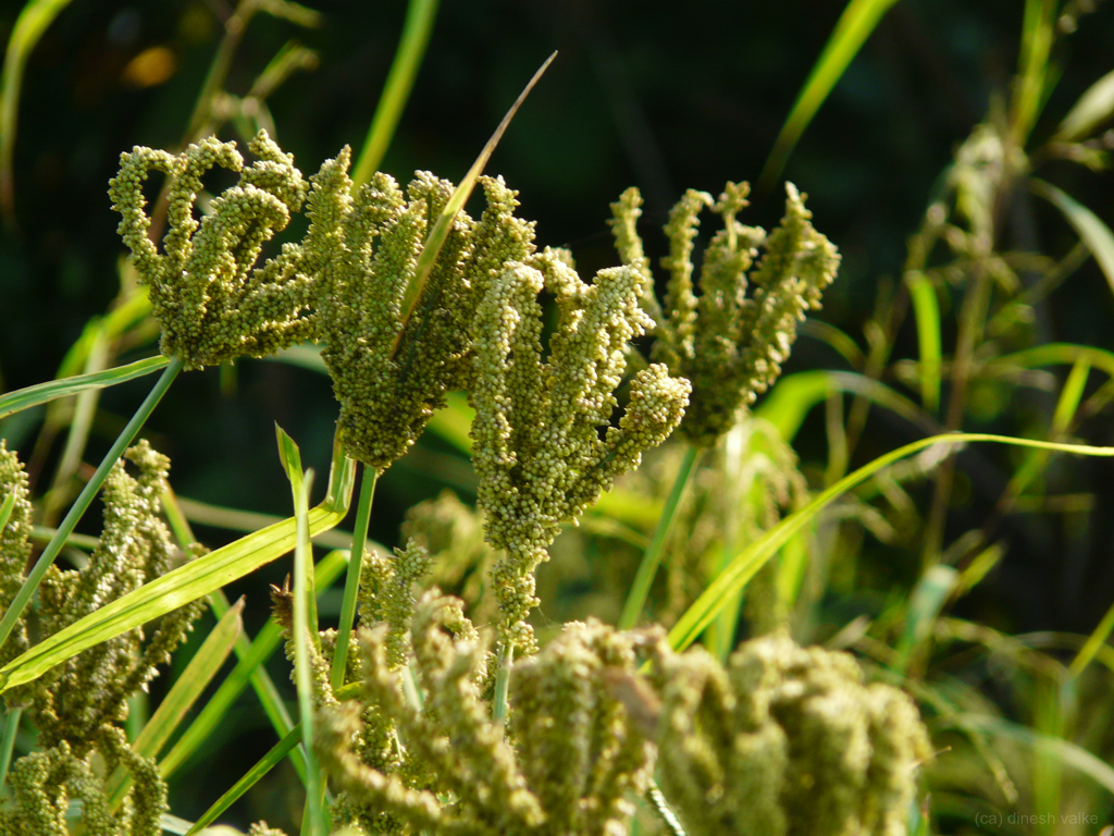
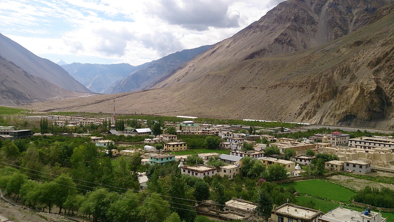
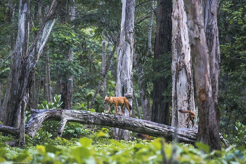
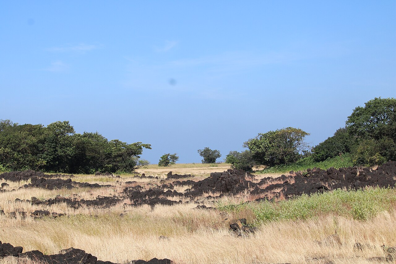
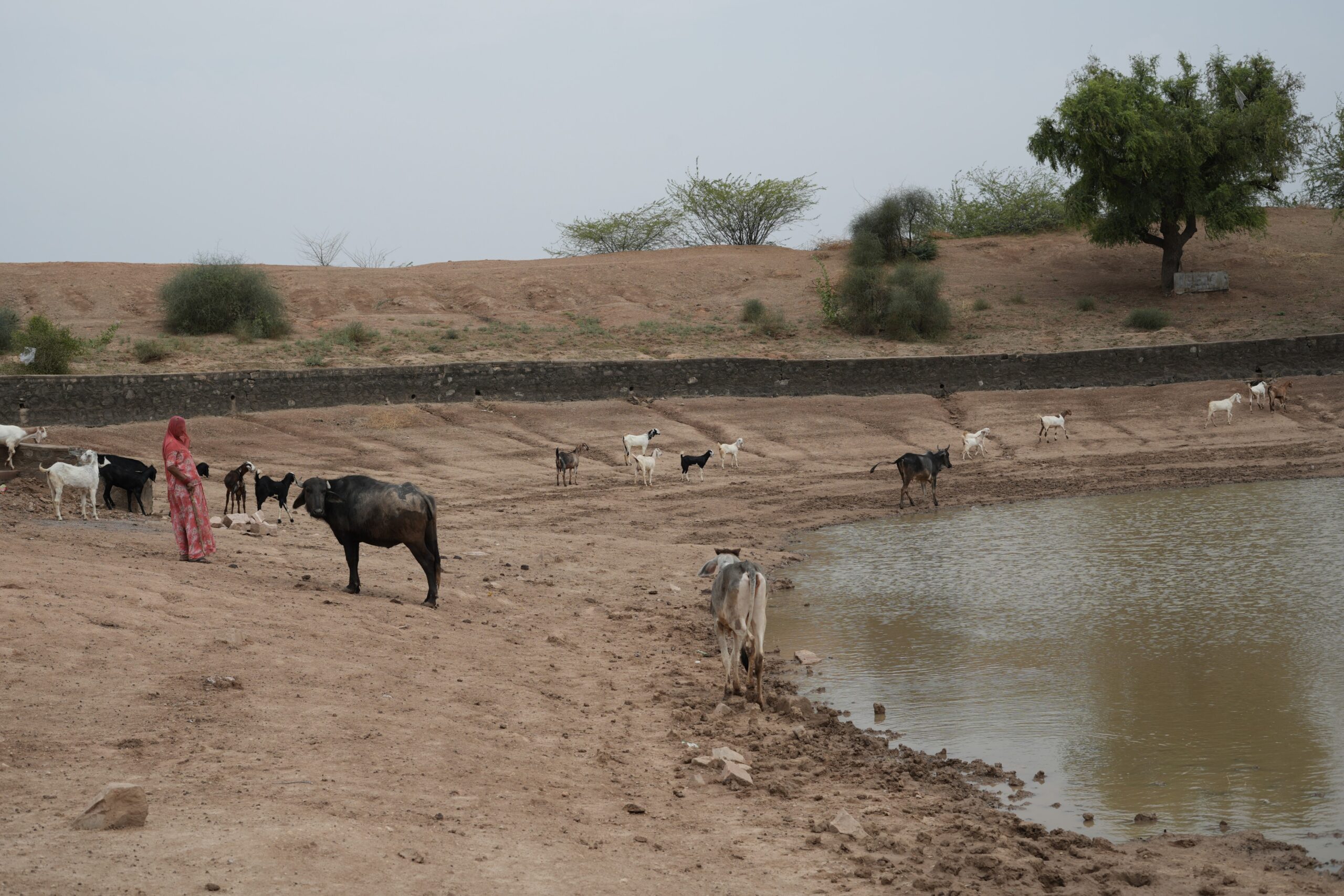
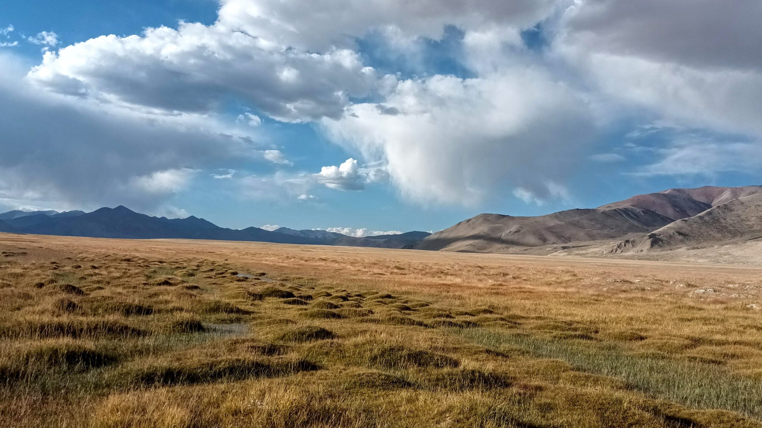
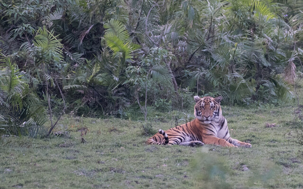
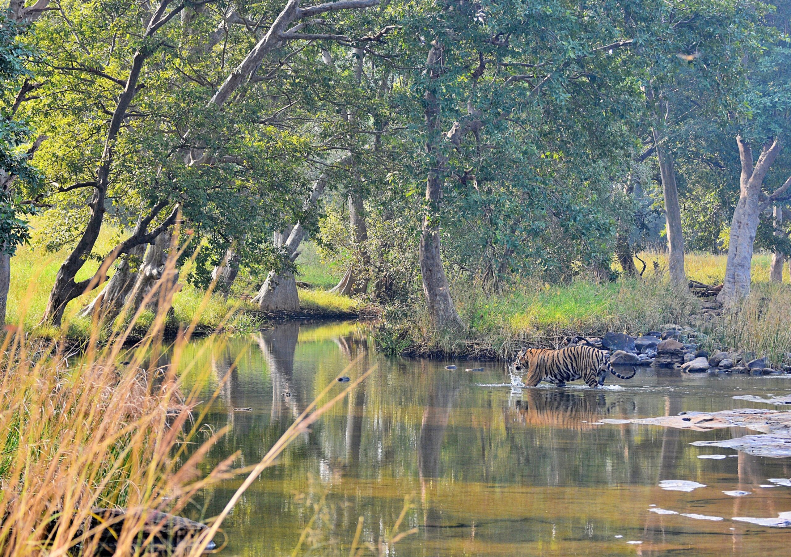
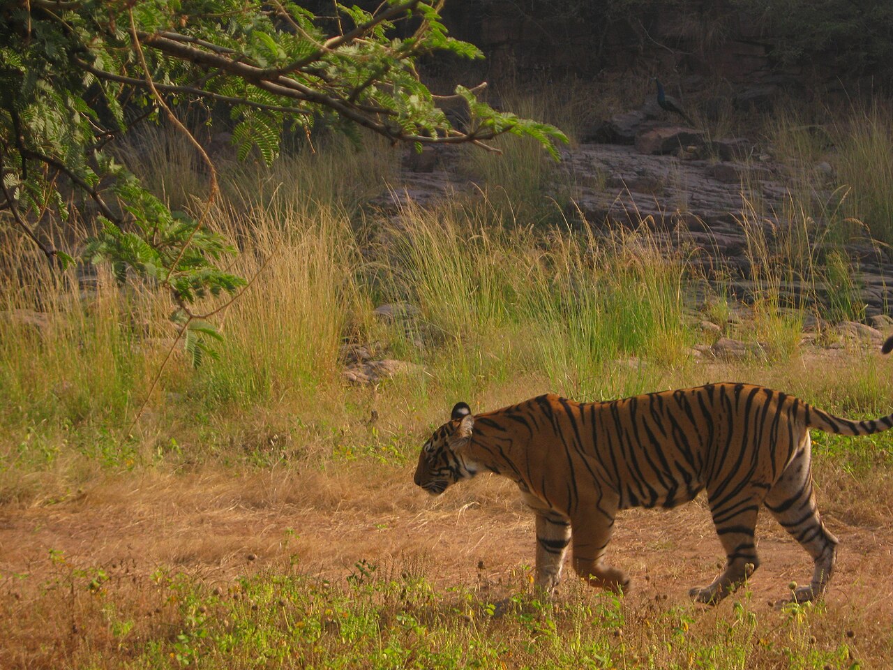
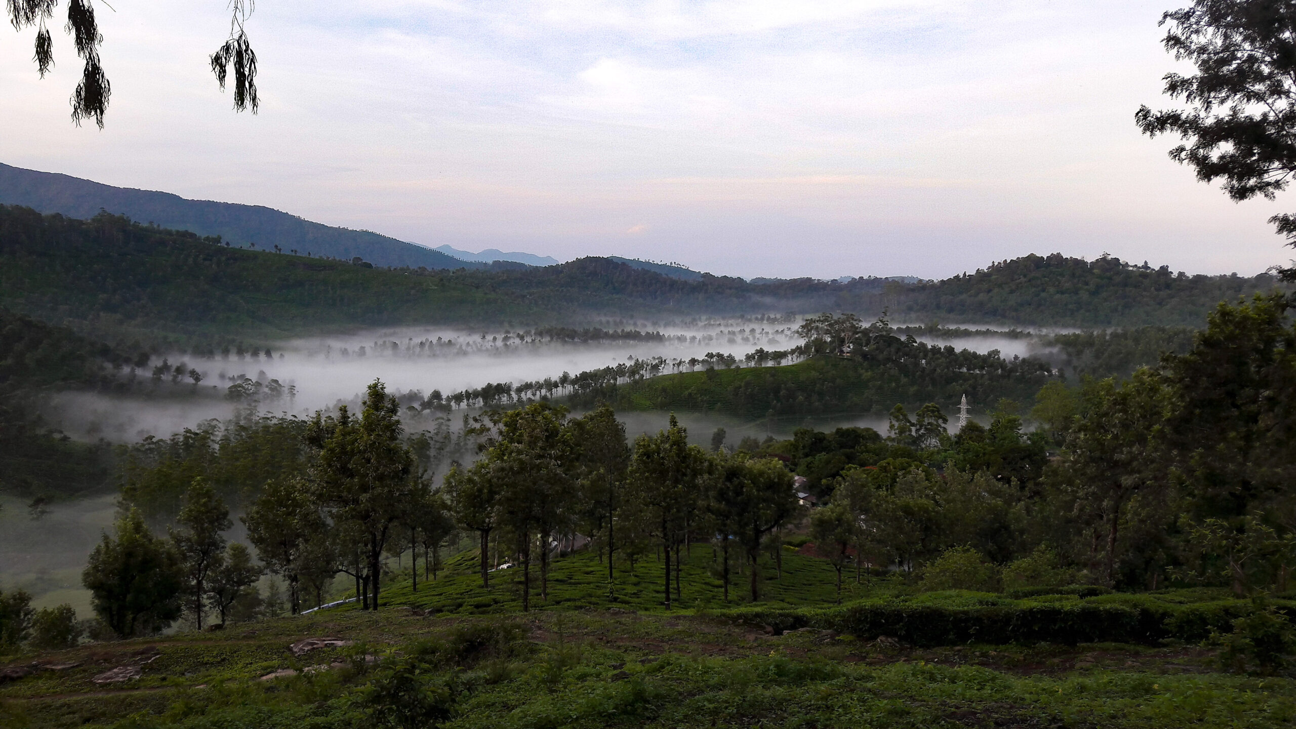
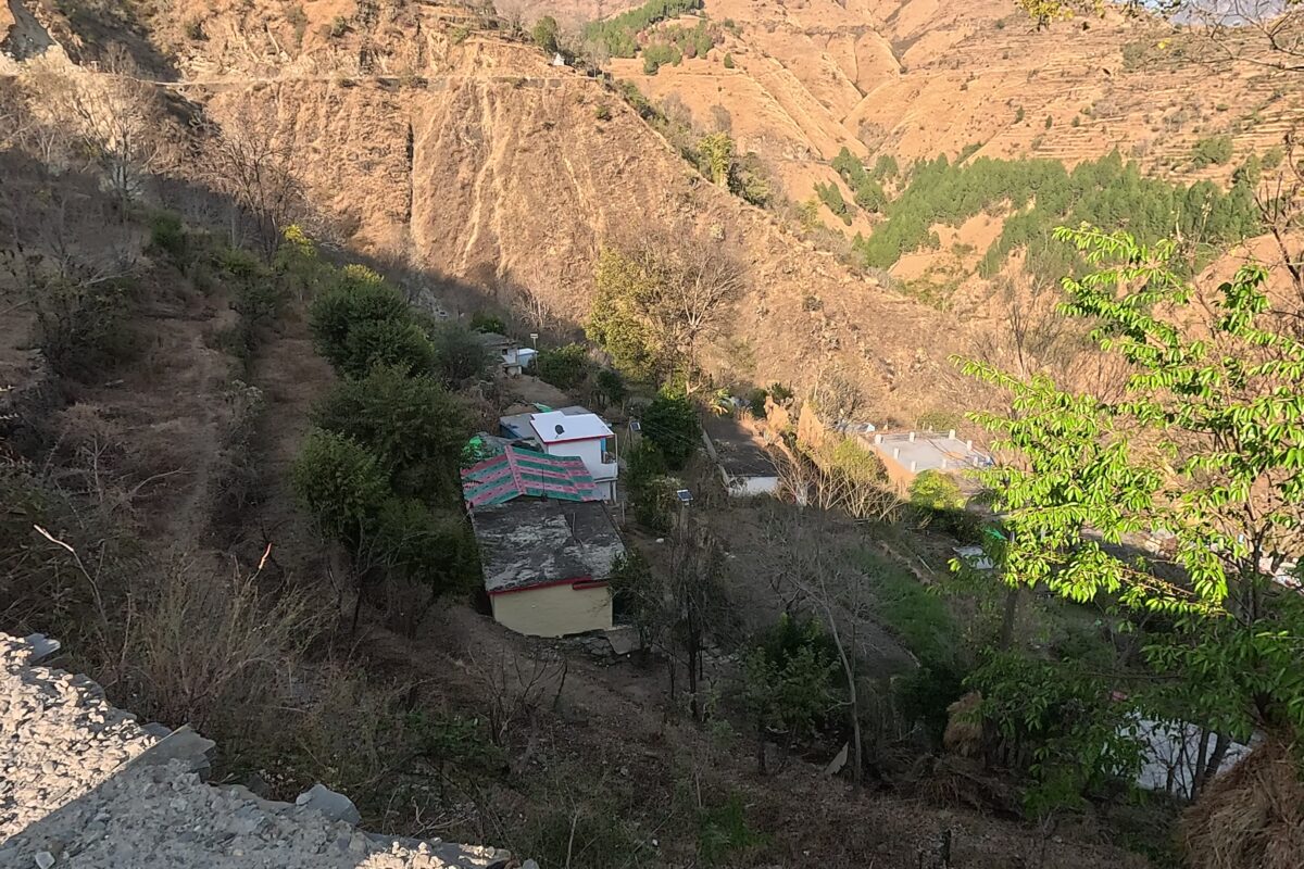
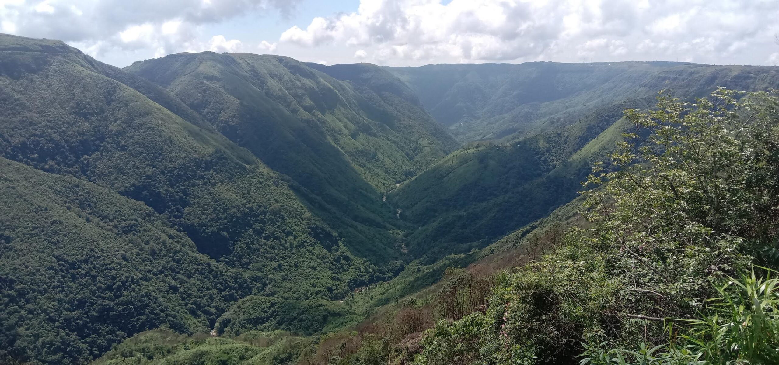
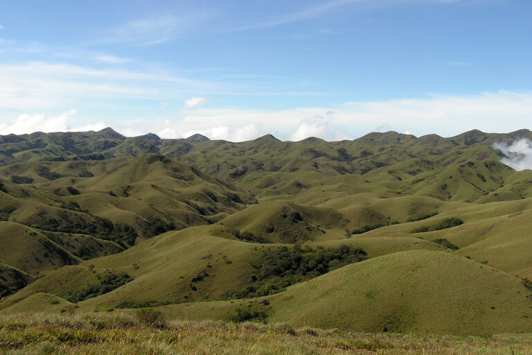
High in the southern Western Ghats, the Nilgiri hills, home to hill stations like Ooty and Coonoor, and a backdrop for Bollywood films, once hosted an expansive, striking mosaic of evergreen forests called sholas and rolling grasslands. These montane shola-grasslands, about 20,000 years old, support threatened biodiversity, channel water into rivers, and sustain local cultures.
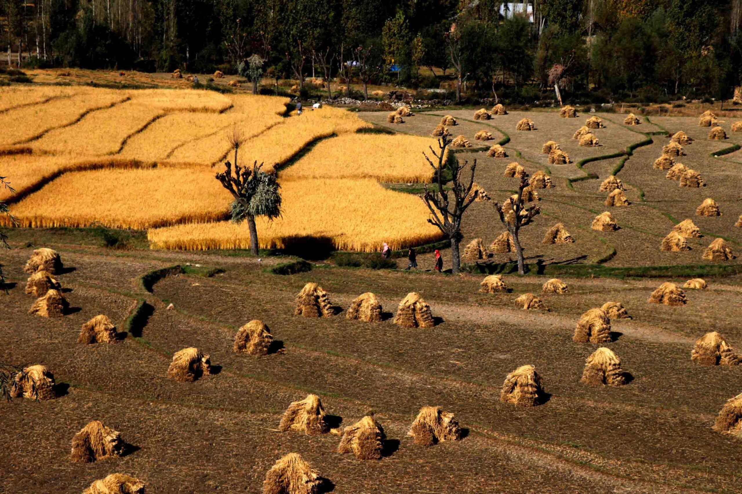
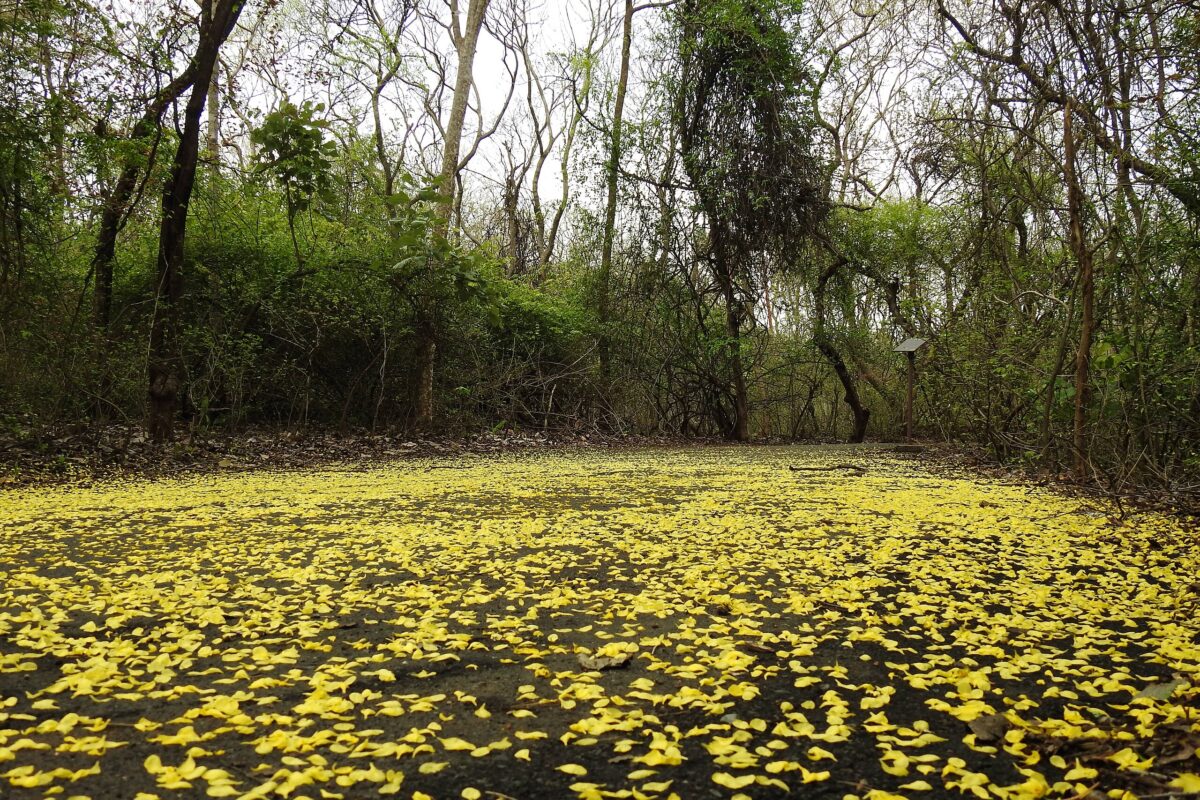
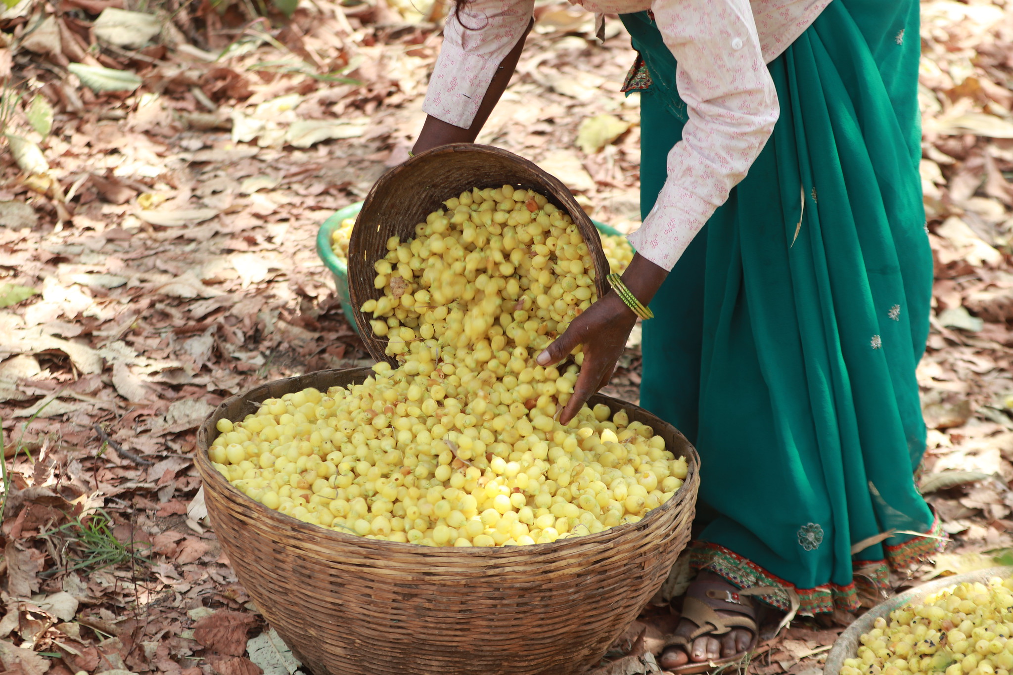
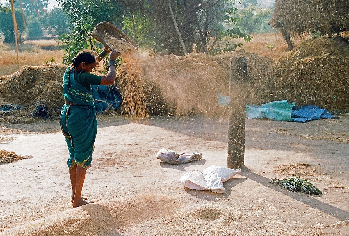
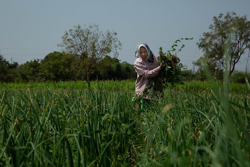
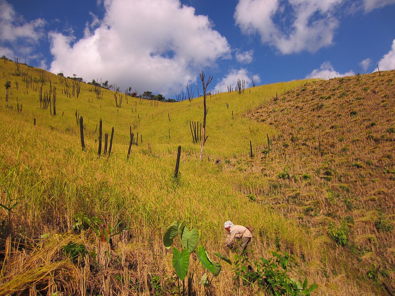
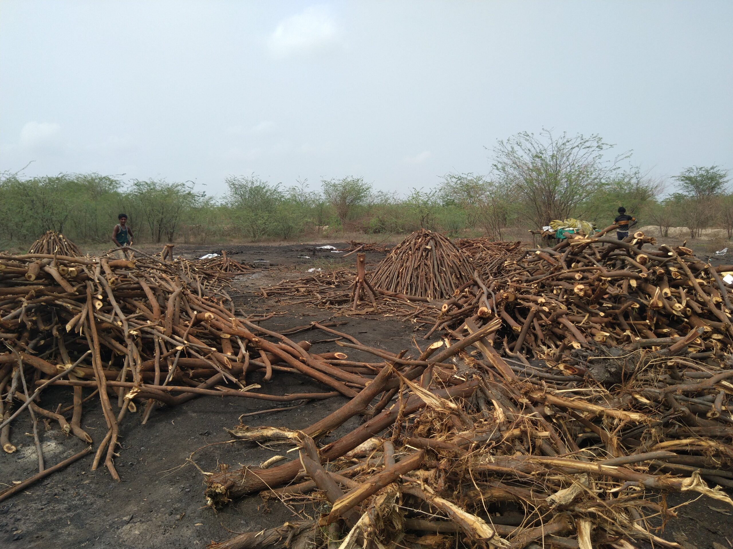
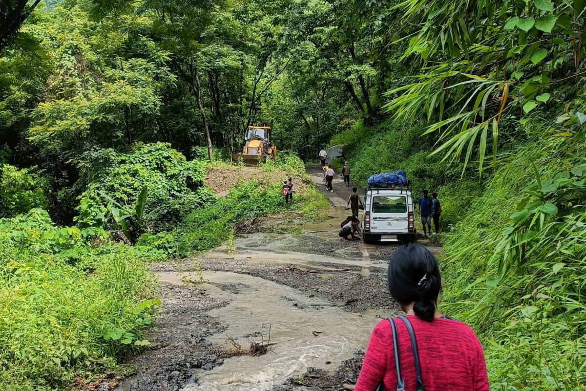
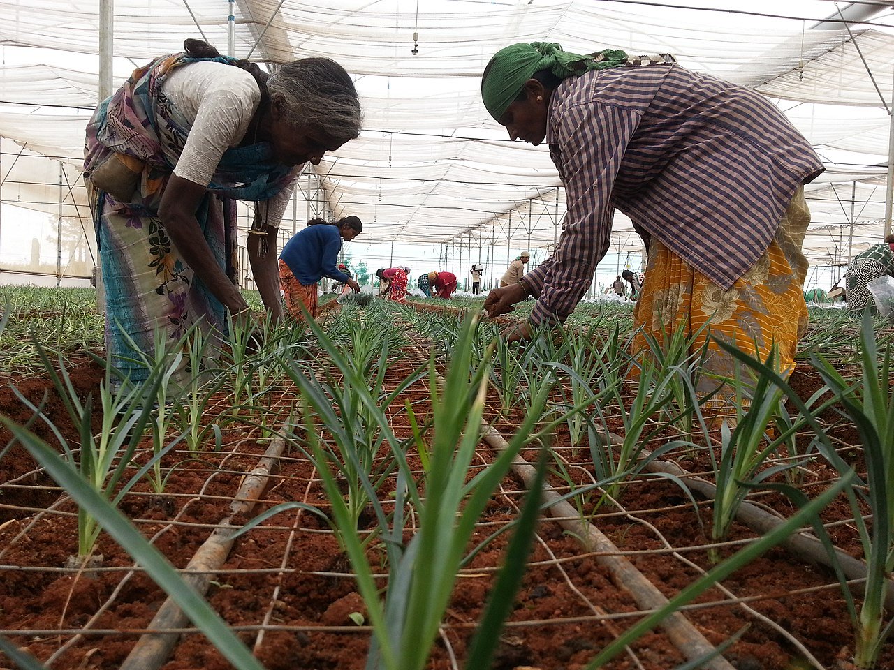
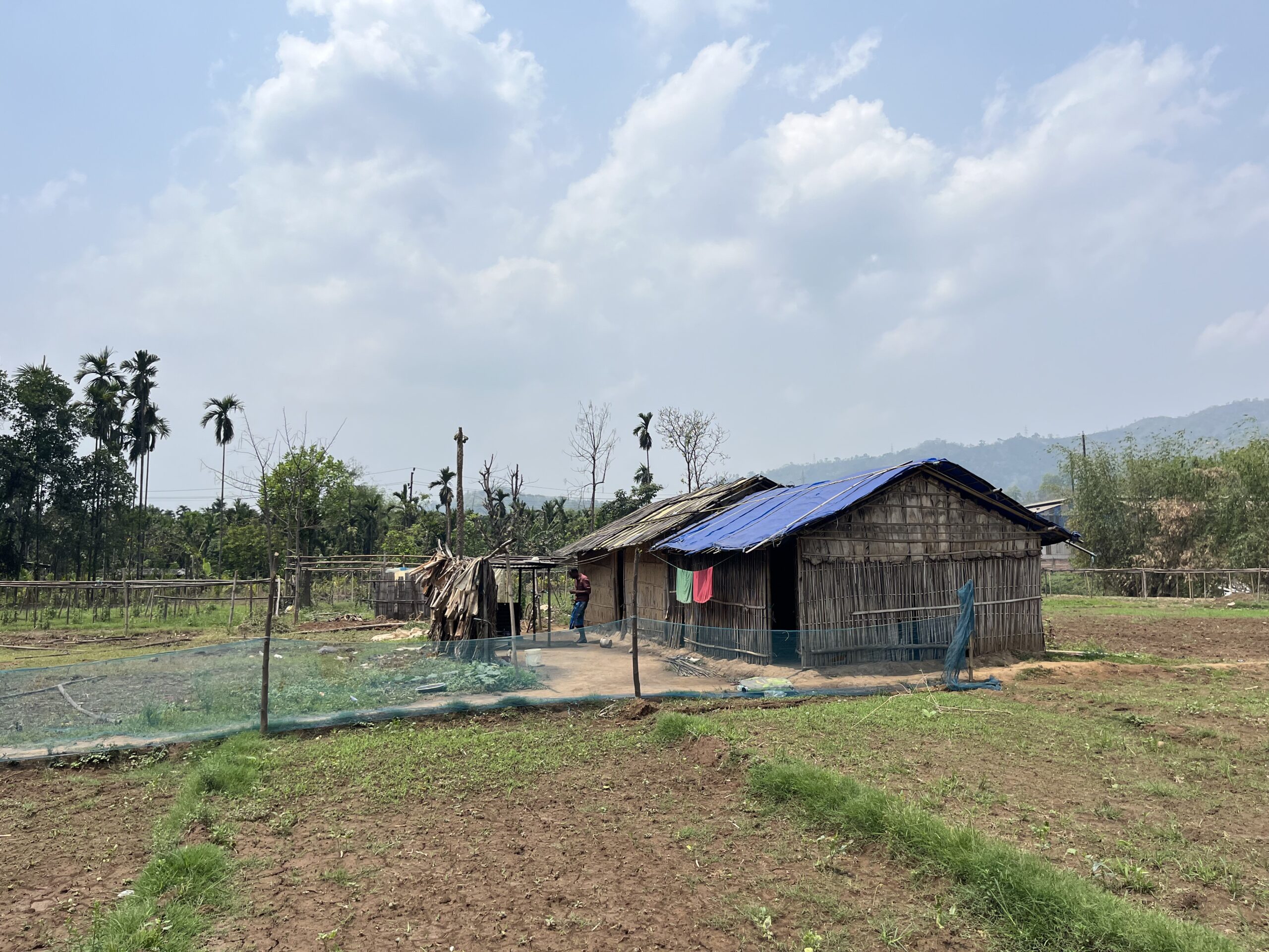
But in less than two centuries, much of this landscape has been erased. The grassy expanses that once stretched for kilometres are now carpeted by tea, eucalyptus, pine, wattle, and others, plants introduced by the British settlers in the 1800s.
Earlier satellite-based studies estimated that montane grasslands across the Western Ghats have declined by about 66% in just four decades due to exotic trees and their invasion. But by revisiting colonial records, a July 2025 study by an international team of 10 institutions reveals a longer arc.
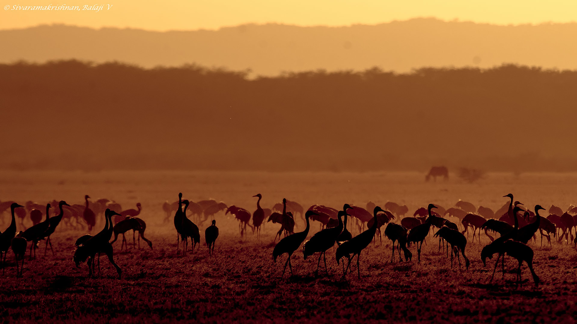
Since 1848, the Nilgiris have lost nearly 80% of their iconic grasslands, and almost 90% of grassland-dependent birds have declined too.
The Nilgiris: then and now
“I’ve always been fascinated by historical data and what that can tell us about environmental change,” says Vijay Ramesh, lead author of the study and a postdoctoral fellow at the Cornell Lab of Ornithology. “Part of the colonial legacy was the creation of maps and specimens collected as part of hunting expeditions or systematic surveys.”
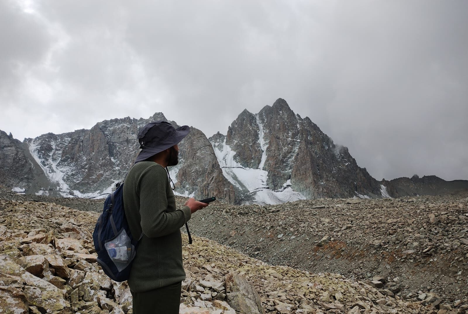
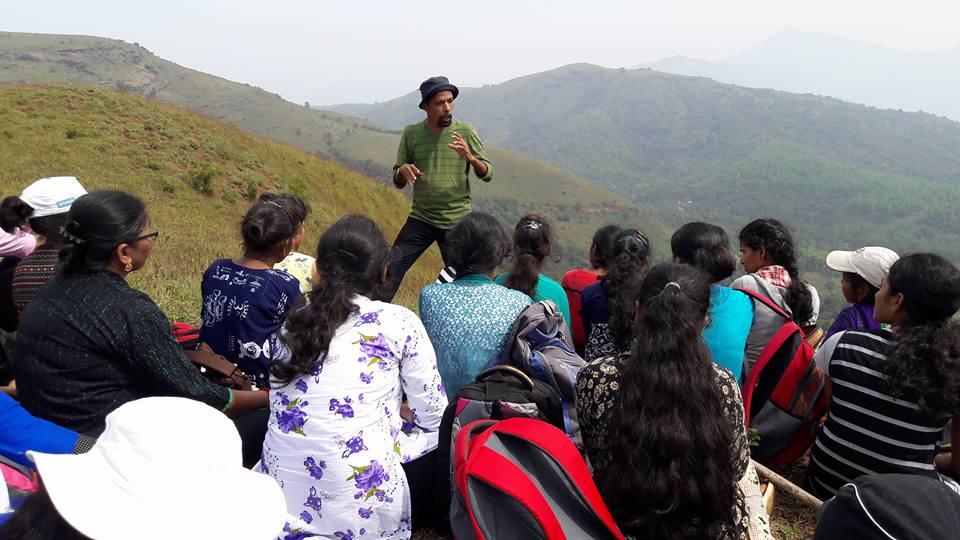
Working in the Nilgiris since 2016, Ramesh became aware of Captain John Ouchterlony’s first systematic map of the region from 1848 and dug through archives to find out more. He tracked it down across institutions: two sheets in the Tamil Nadu State Archives, seven in the British Library, and one still missing. “We carefully unfurled them and laid them on the floor like a 10×6 feet jigsaw puzzle. I climbed a stool to get a wide view and take photographs,” recalls Ramesh.
Using an accompanying 1848 booklet, study co-author Amrutha Rajan manually digitised the map, tracing different types of land, after automated tools failed in differentiating the illustrated details in the older map. The resulting map, born out of a laborious process that spanned 1.5 years, Ramesh says, was ground-truthed with long-term Nilgiris residents — a dentist, a non-profit director, a reverend, and many more — all passionate and knowledgeable about the region.

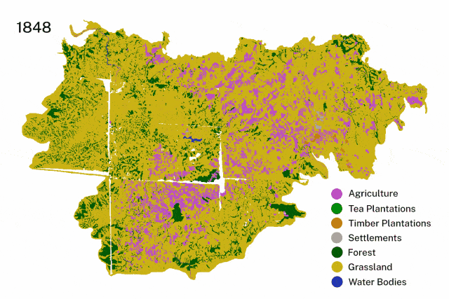
When compared with 2018 satellite imagery, the changes were stark. In 1848, grasslands covered about 1,000 square kilometres, roughly 1.6 times the size of Mumbai. By 2018, only 200 sq. km. remained. Intermediate maps from 1910, 1973, and 1995 confirmed that most of this conversion happened under the British rule and continued after independence.
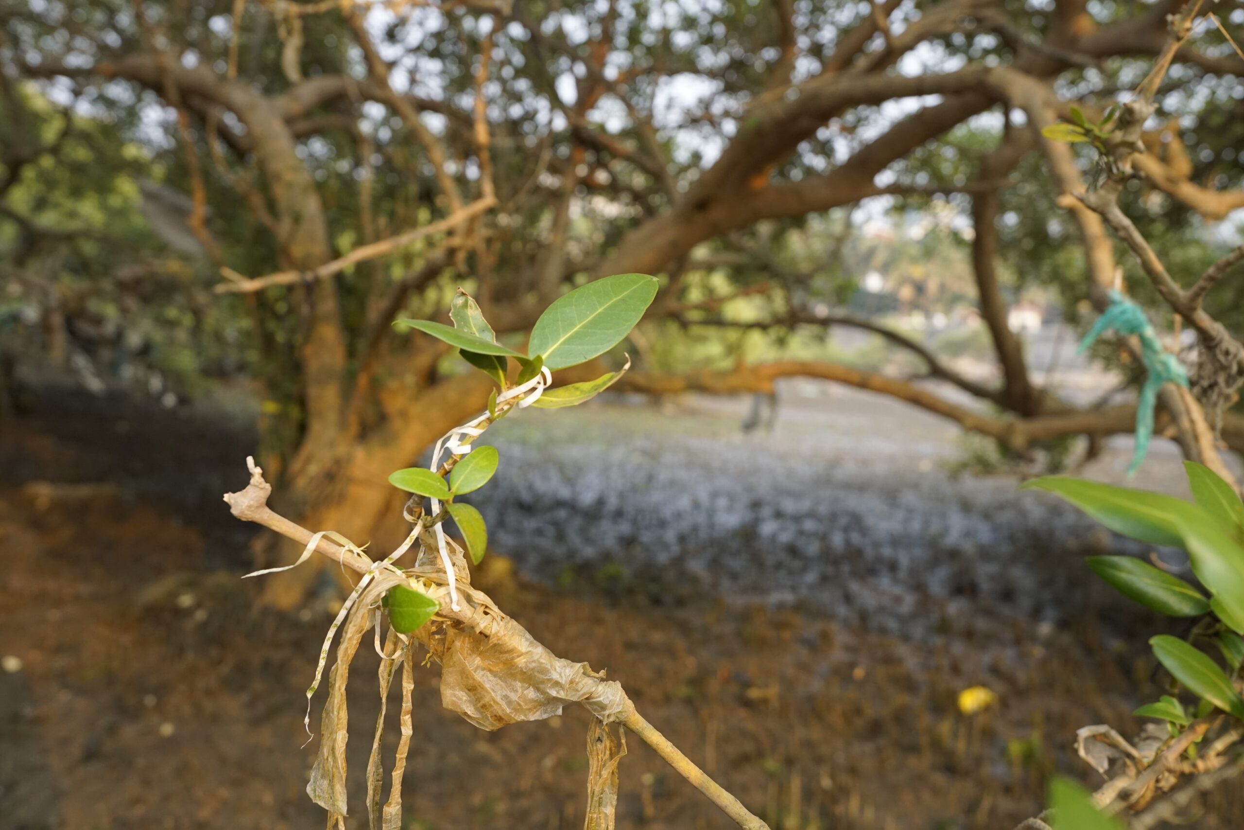
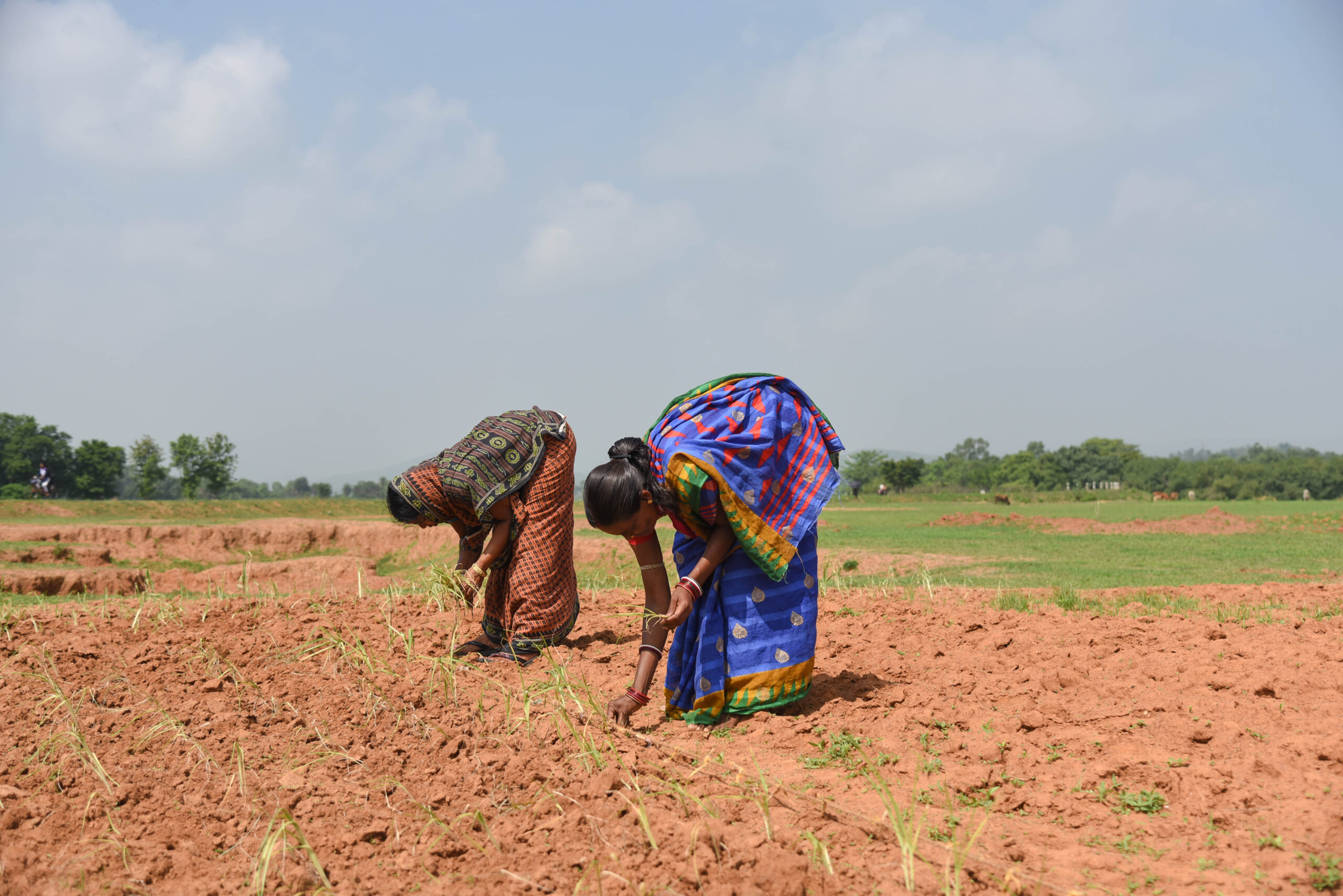
The British officials propagated a misconception that indigenous communities deforested the landscape, noted earlier studies. From the 1820s onward, British officials dismissed grasslands as “wastelands” and planted over 40 exotic tree species to “restore” the land and for commercial use. Today, their legacy endures: invasive exotic species continue to spread into the remaining grasslands — picturesque greenery that masks ecological damage.

Reading dead birds and diaries
While one part of the team deciphered the maps, another sifted through museum collections to build a historic picture of Nilgiris’ bird species and where they were found.
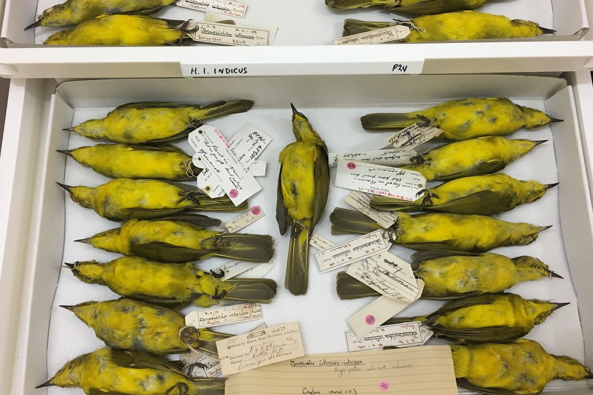
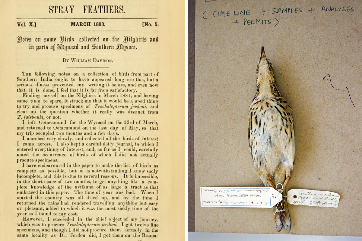
Researchers visited museums in India, the UK, and the USA, with most records drawn from the Natural History Museum at Tring, near London. These included specimens from the first systematic ornithological expedition in 1881, led by William Davison.
They also pored over journals, letters, and diaries: from Margaret Cockburn, an artist and ornithologist in the Nilgiris; Stray Feathers, the ornithological journal run by A.O. Hume, founder of the Indian National Congress; the Journal of the Bombay Natural History Society; and others.
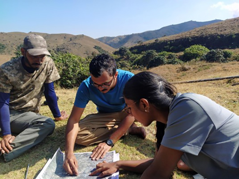
“We only picked locations where we could pinpoint and resurvey,” explains Ramesh. “For example, if a bird record said ‘Western Catchment of Mukurthi National Park’, we knew exactly where to look again. If it said ‘Nilgiris,’ we dropped it.”
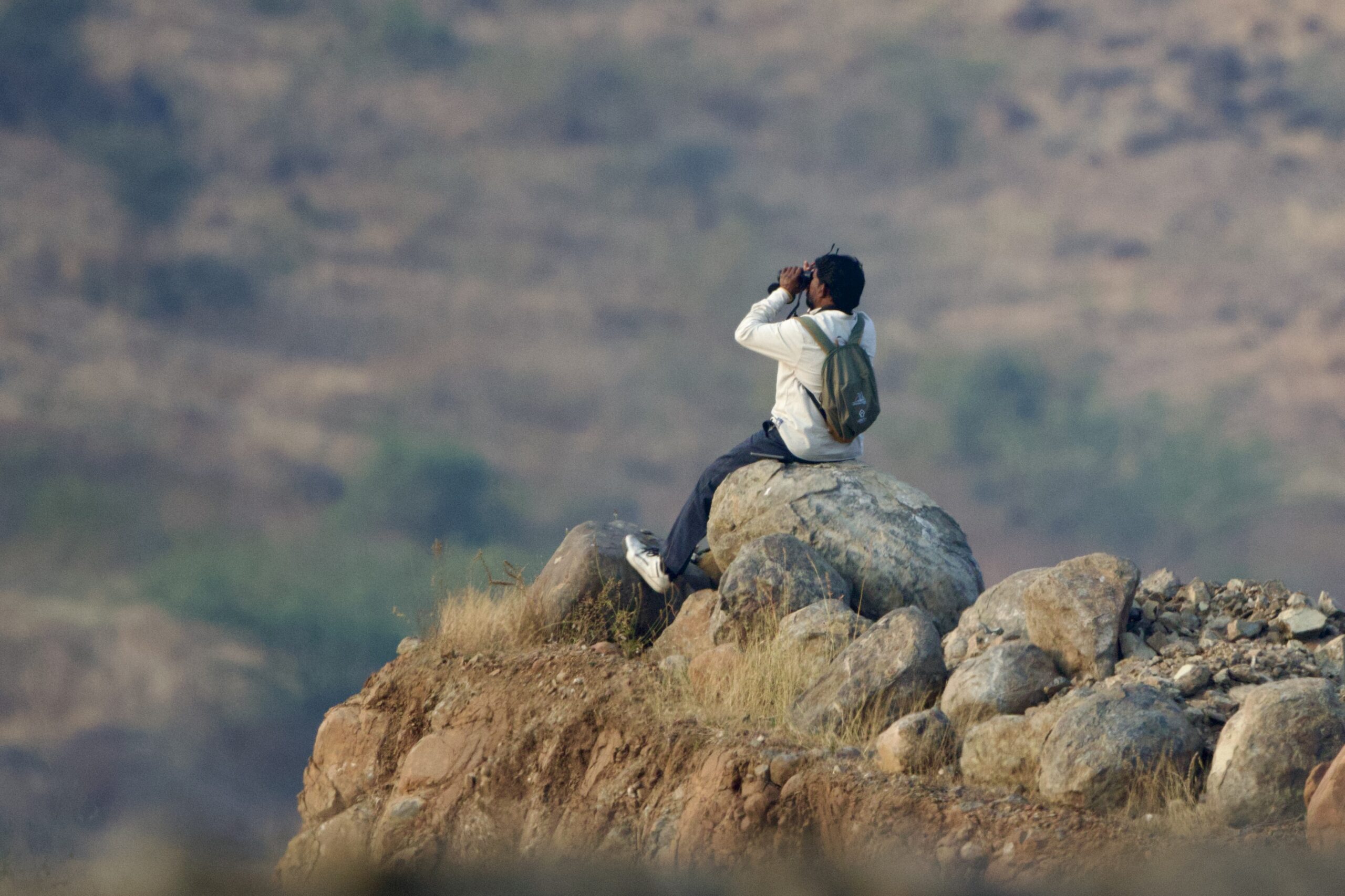
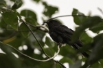
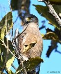
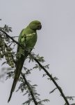
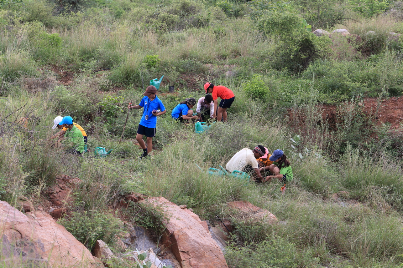
Using records from 1850 to 1950, the team identified 85 bird species across 42 sites, mapping them on both old and new maps. Over multiple months and early mornings in 2021, they returned to those exact locations for resurveys. Some were still grasslands; others had become plantations or even urban settlements. At each site, they logged every bird seen or heard through systematic counts.
To make the past and present comparable, the team used statistical models that put old specimen counts and modern surveys on the same scale, revealing which species rose or fell in relative abundance.
Losers… and winners?
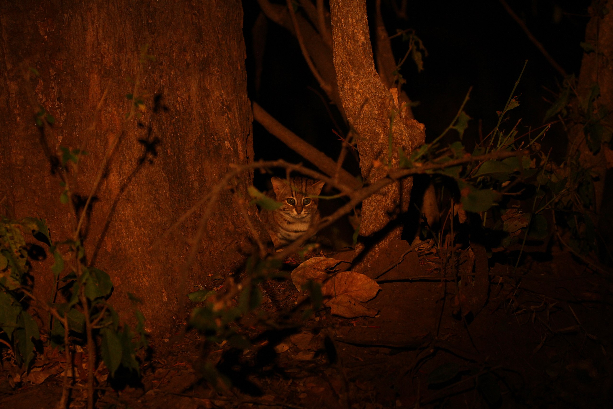
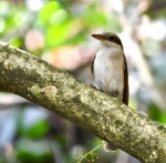
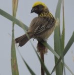
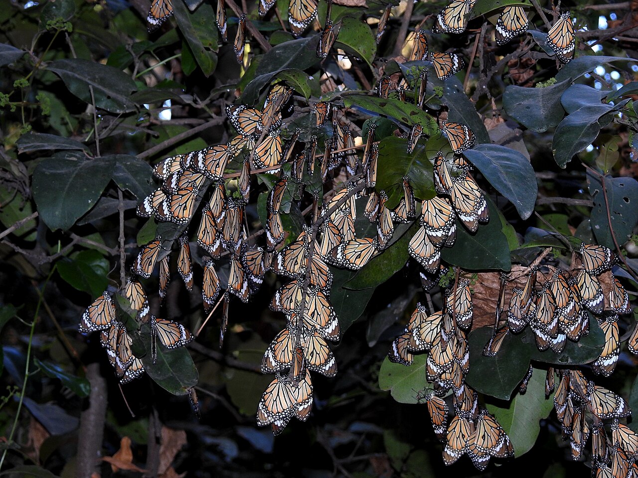
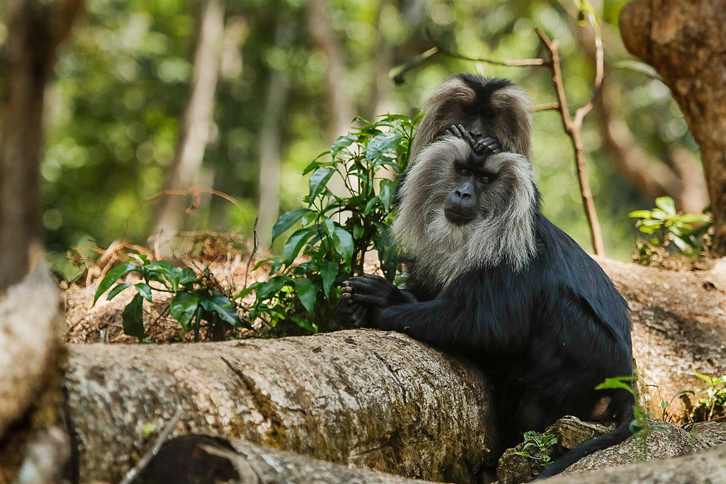
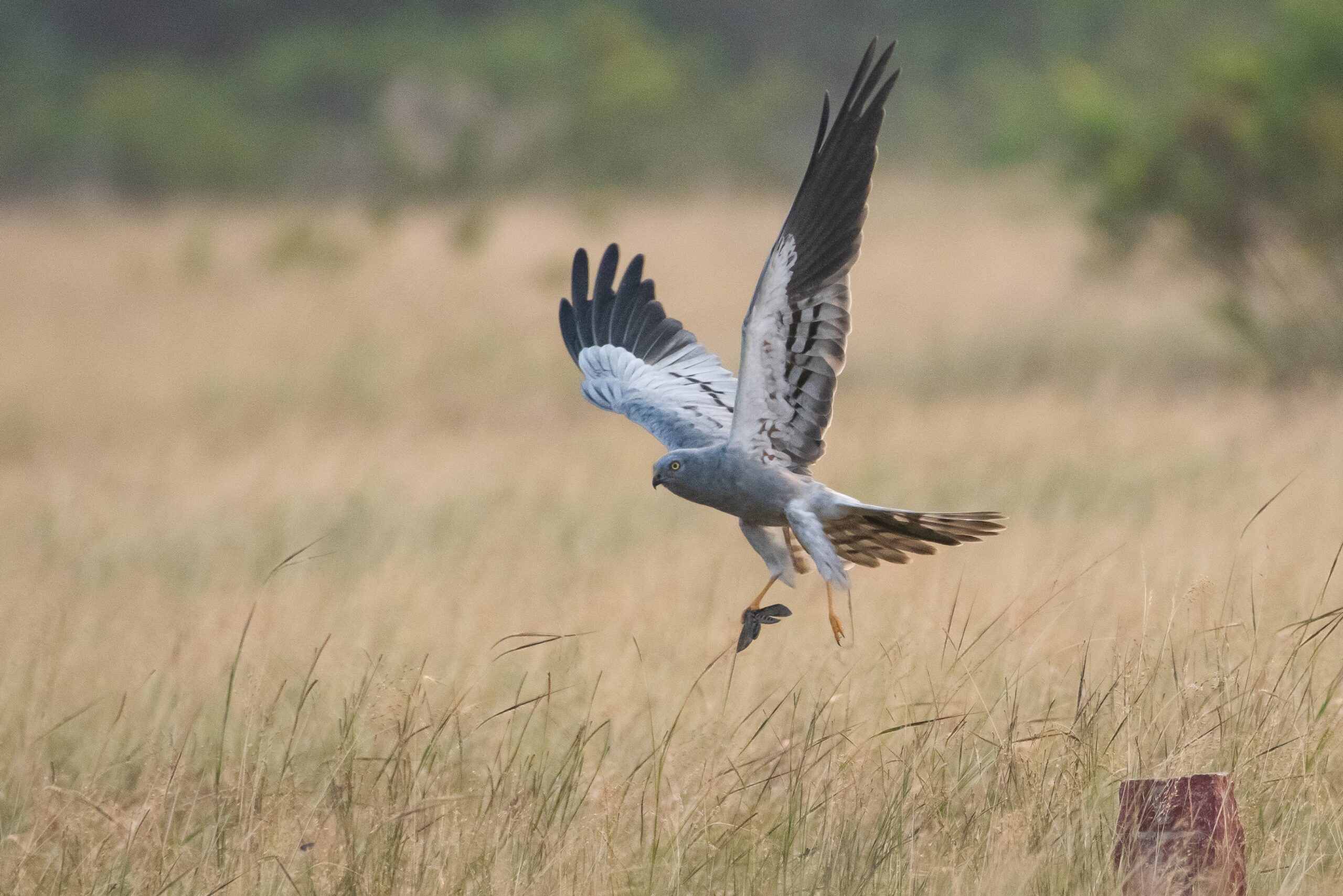
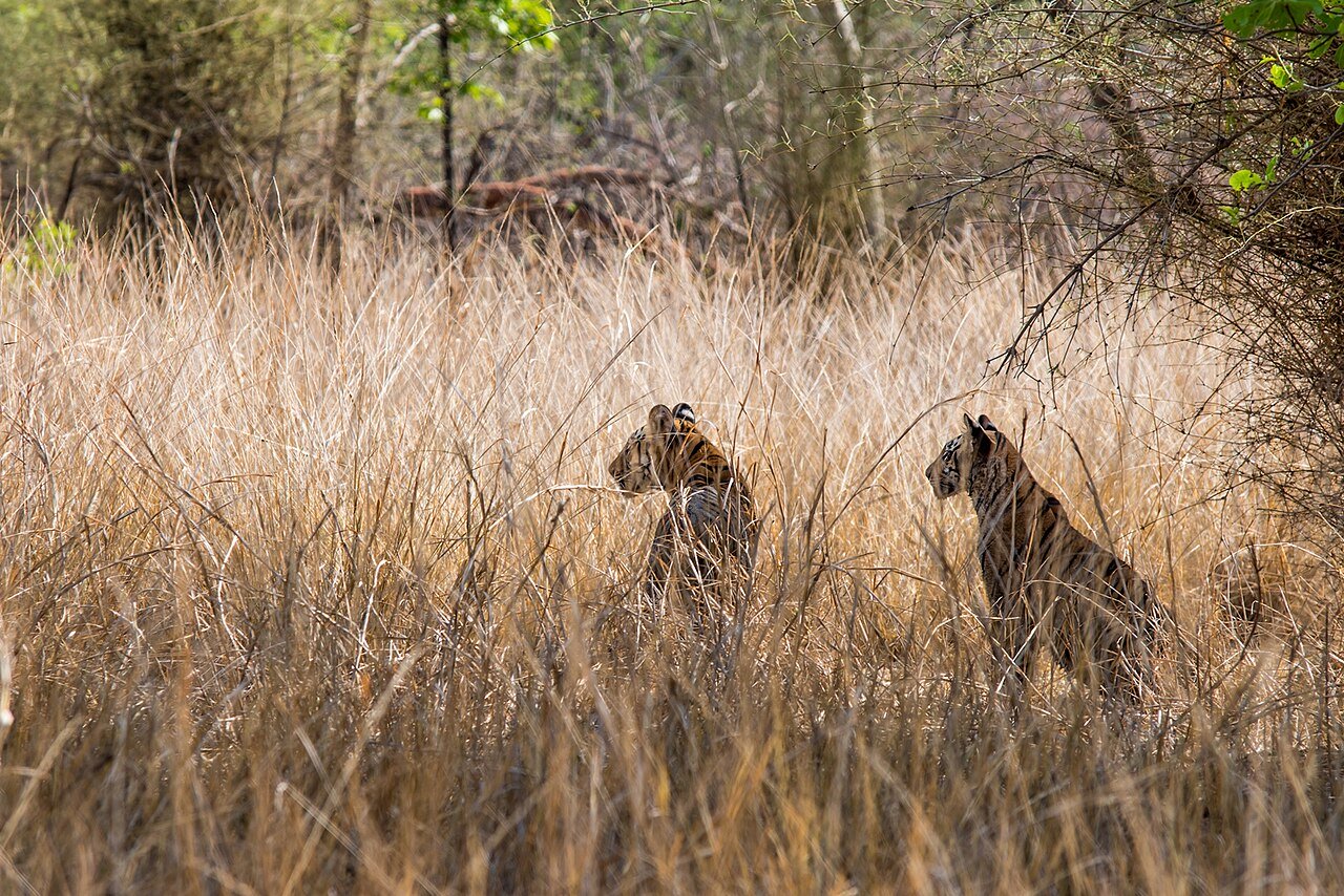
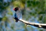
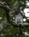
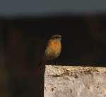
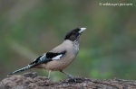
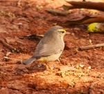
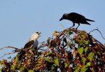
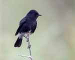
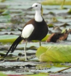
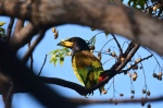
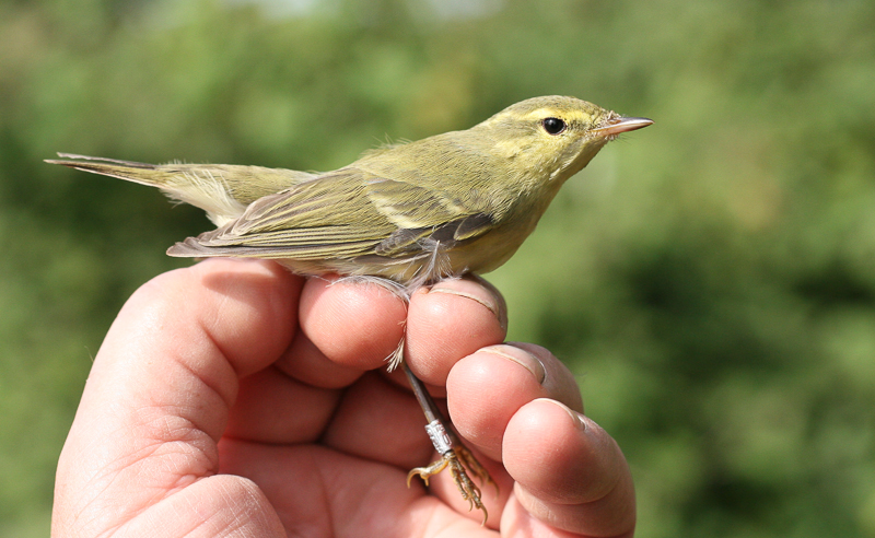
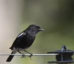
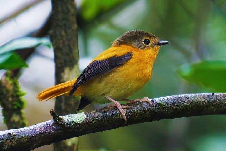
The results of the study echo the state of grassland birds across India and the world. Nearly all grassland specialists collapsed, with the Malabar lark and Nilgiri pipit, species unique to the Western Ghats, showing the steepest declines. “Mukurthi National Park, where the grasslands are still intact, seems to be one of the last remaining strongholds of the Nilgiri pipit and other grassland birds,” says Ramesh. An exception was the pied bushchat, which held steady by adapting to tea plantations and other open habitats.
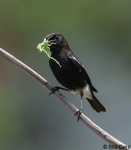
Forest birds showed a mixed picture: about half declined, while the rest remained stable or even increased. Species such as the black and orange flycatcher also use timber plantations, much like natural forests. But Ramesh cautions: “It’s essential to look at this change in the context of Nilgiris and not as an indication of plantations being a replacement for forest habitats.”
Generalist birds such as the large-billed crow and red-whiskered bulbul, meanwhile, have thrived, capitalising on the transformed landscape.
Back to the future
The researchers also tried to assess the impact of climate. They tried tapping into historic rainfall and temperature records from the 125-year-old United Planters’ Association of Southern India, but couldn’t follow through. While detailed data proved elusive, co-author Pratik Gupte analysed coarse records from the India Meteorological Department from 1870 onwards. These records showed that monthly temperatures in the Nilgiris are now about a degree warmer than they were 150 years ago.
Beyond the ecological findings, the study also underscores the hidden value of archives in understanding environmental change. Venkat Srinivasan, head of Archives at National Centre for Biological Sciences (NCBS), a public collecting centre for the history of science in contemporary India, sees more scope for the use of archives for ecology and other fields, drawing from historians. “Understanding archives, accessing them, and traveling to these archives are valid challenges, but they have solutions. However, the first and biggest challenge for a researcher might be in knowing that this world (tapping into archives) exists and that it could be a key approach to their research,” he explains.
By combining colonial maps, museum specimens, naturalists’ field notes, and modern surveys, the study creates one of the clearest long-term pictures of how land-use change reshaped ecosystems in the Nilgiris. The approach, Ramesh notes, could be adapted in other places with colonial history and records, emphasising the need to digitise and preserve historic records that could disintegrate over time.
But even as more archives undergo digitisation, Srinivasan cautions against the false comfort it provides. Digital access is distinct from digital preservation, which demands sustained effort to produce archival-quality copies, ensure reliable access, secure data, and cross-link material within catalogue metadata. A catalogue is a descriptive tool that helps users locate and make sense of materials. “If the digitisation is not first preceded by building and maintaining a robust archival catalogue, the value is lost,” he notes.
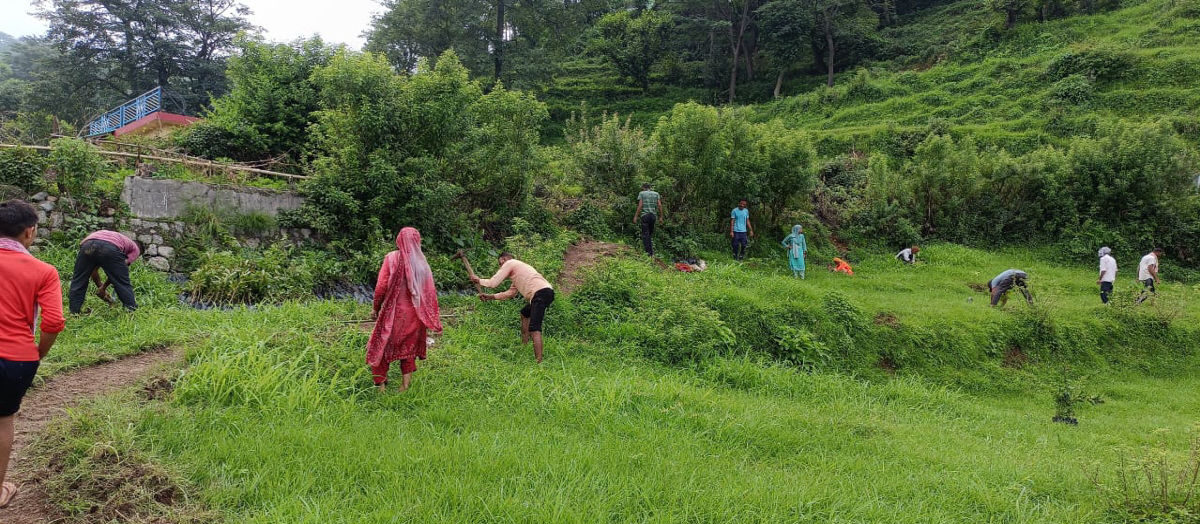
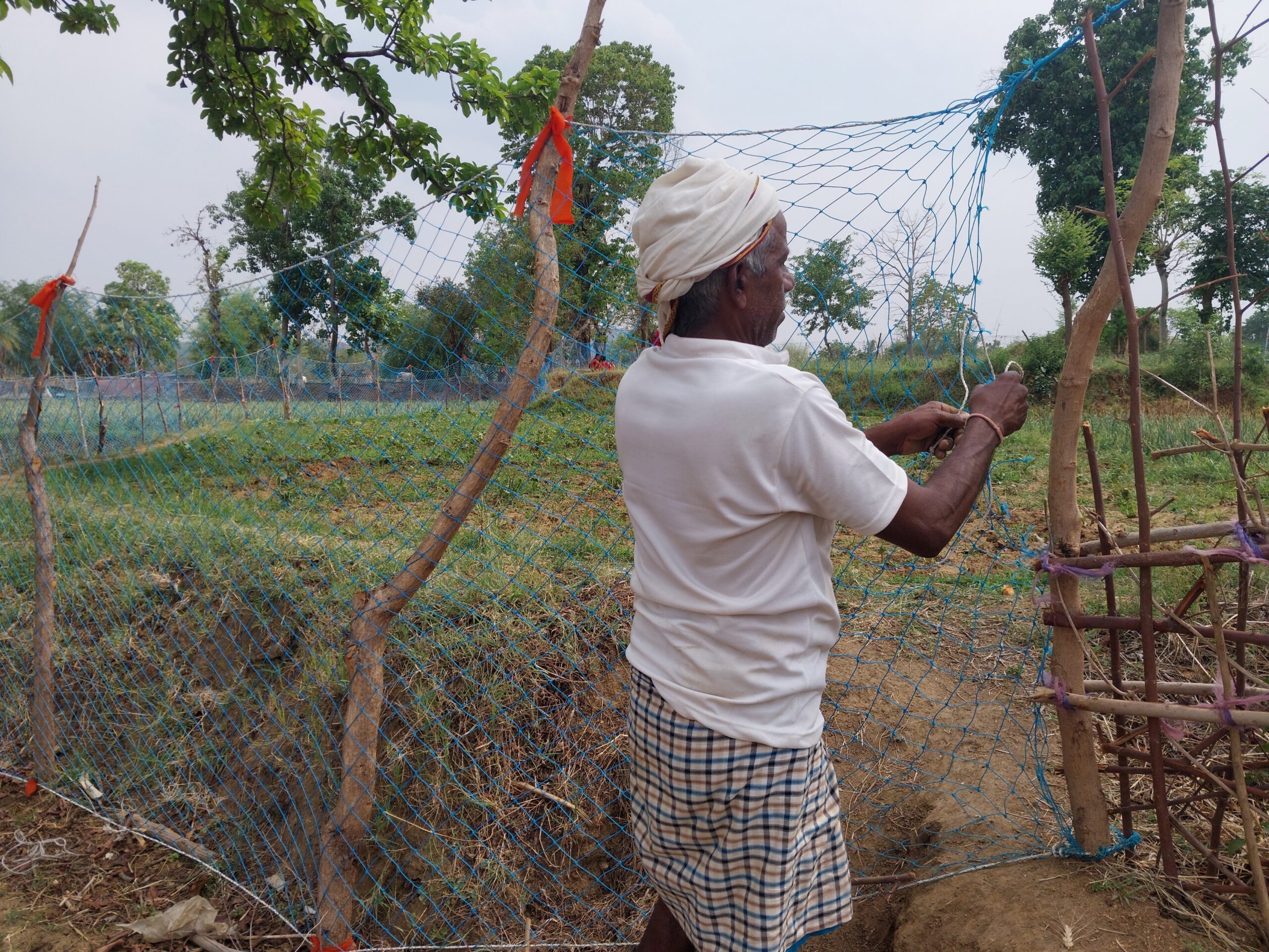
For Vasanth Bosco, founder of Nilgiri-based Upstream Ecology and a restoration practitioner for over 12 years, such science-backed findings reassure the need to conserve montane grasslands in the shola-grassland ecosystem and also understand the site to take specific approaches. “Science helps shape policy, but sometimes science is too slow, given the pace of change and dynamics on the ground. There’s a lag that we need to address to implement the results in immediate management practices,” he adds.
Conservation policies overlook grasslands. They are often targeted for tree-planting schemes, even though studies show they are crucial for biodiversity, carbon storage, and water regulation. “In India, as in other former European colonies like South Africa and Madagascar, open natural ecosystems such as grasslands are undervalued and considered wastelands,” says Ramesh.
“But there’s huge scope and benefit in restoring grasslands,” says Bosco, recollecting the sight of a Nilgiri pipit in a small grassland patch his team restored amidst “a sea of tea” in a region transformed over centuries. “But it hasn’t gained popularity and funds.”
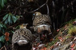
Banner image: Yellow-browed bulbul specimens collected from the Nilgiri hills in the 1800s at the Natural History Museum at Tring, England. Image by Vijay Ramesh.