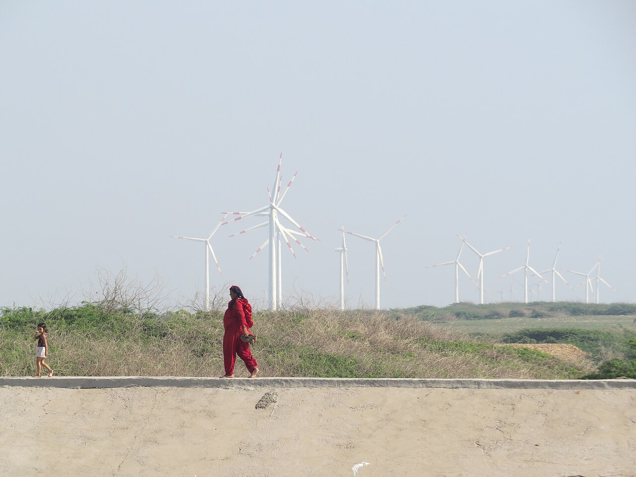
- The urban heat island effect is intensifying in suburban Bengaluru, amidst rapid unplanned growth.
- A modest return to greener cityscapes could counteract some of the warming driven by dense, unregulated development on Bengaluru’s edges, as research shows.
- Experts favour climate-sensitive planning through blue-green infrastructure, ecofriendly building materials, and ecological landscaping.
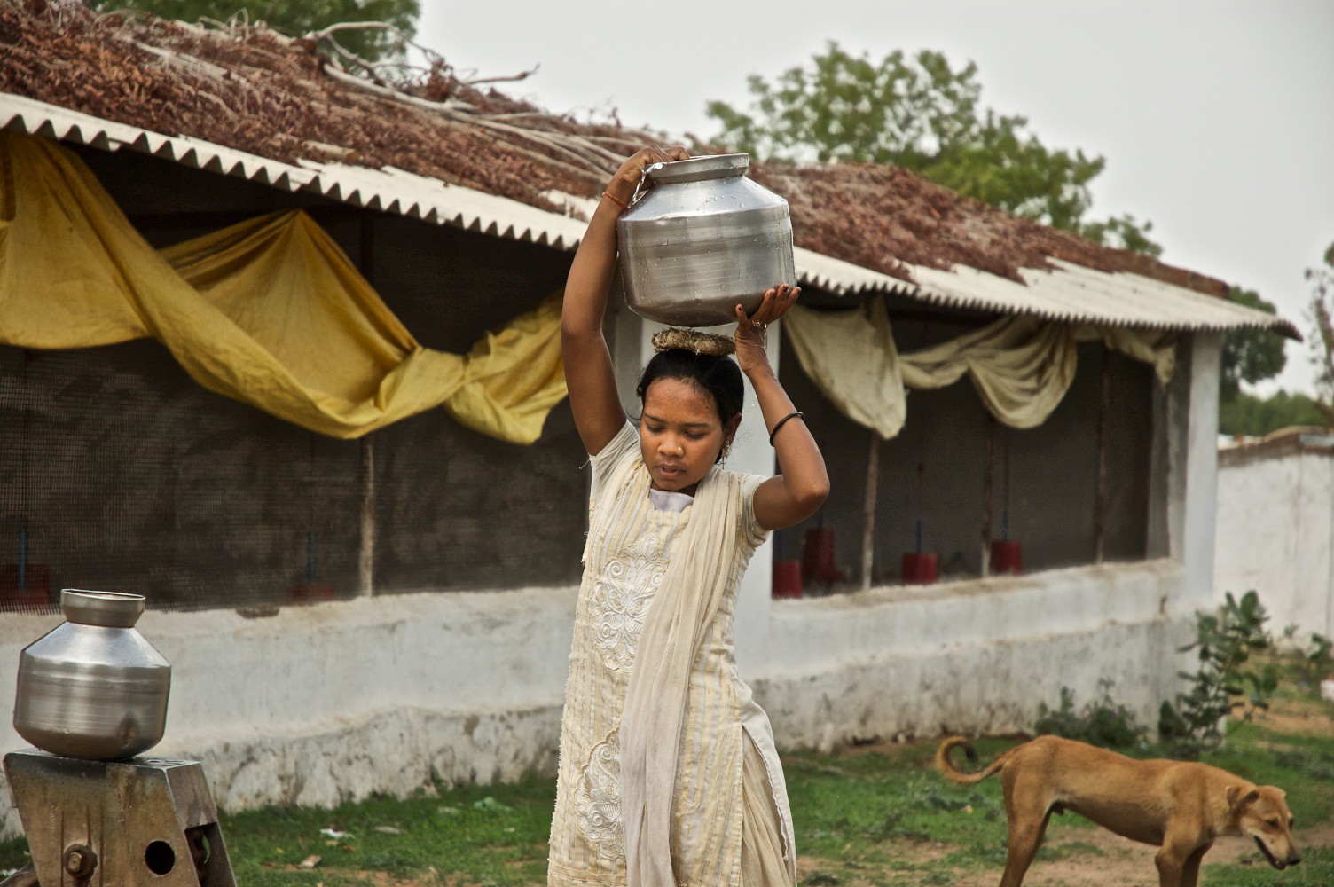
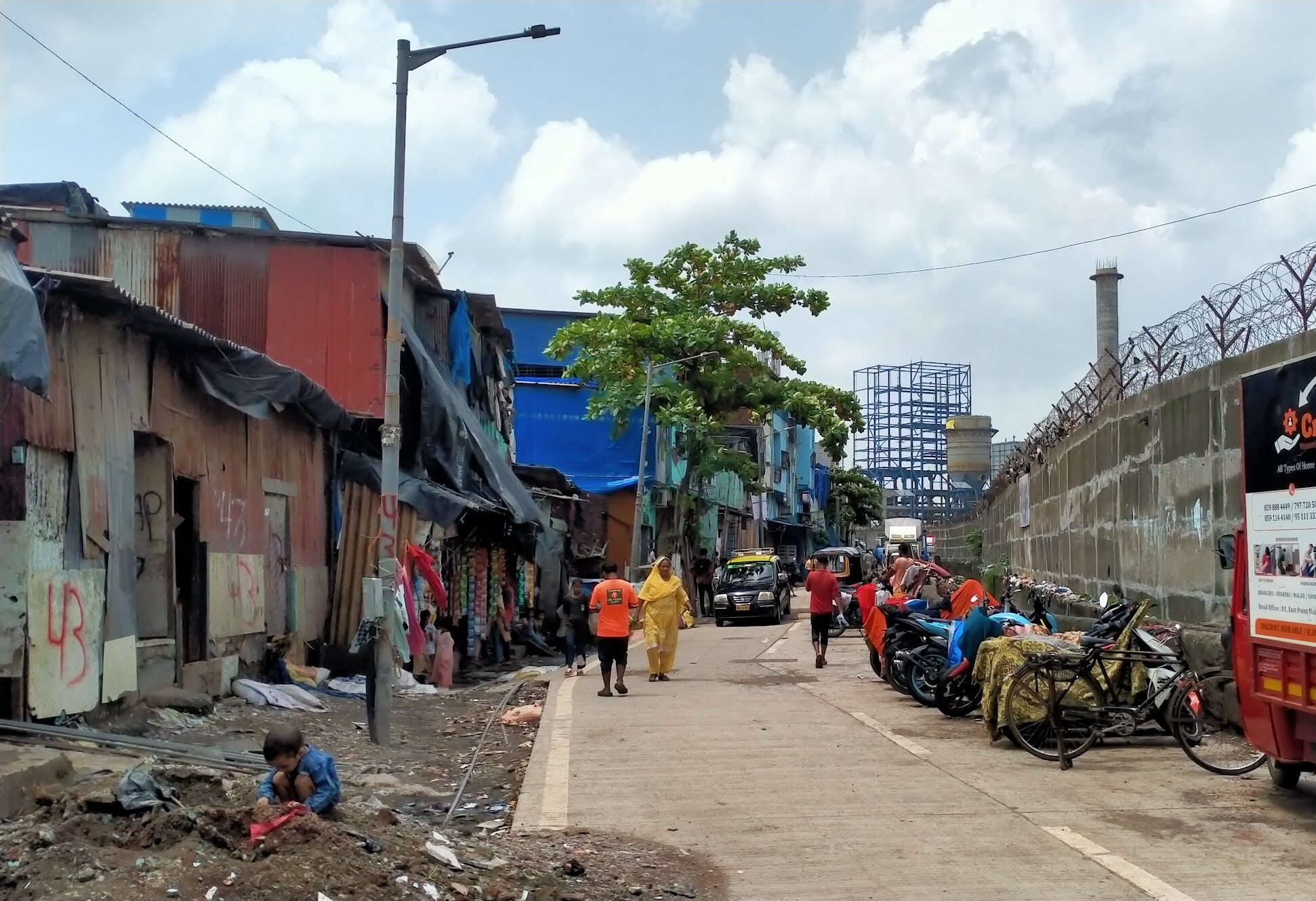
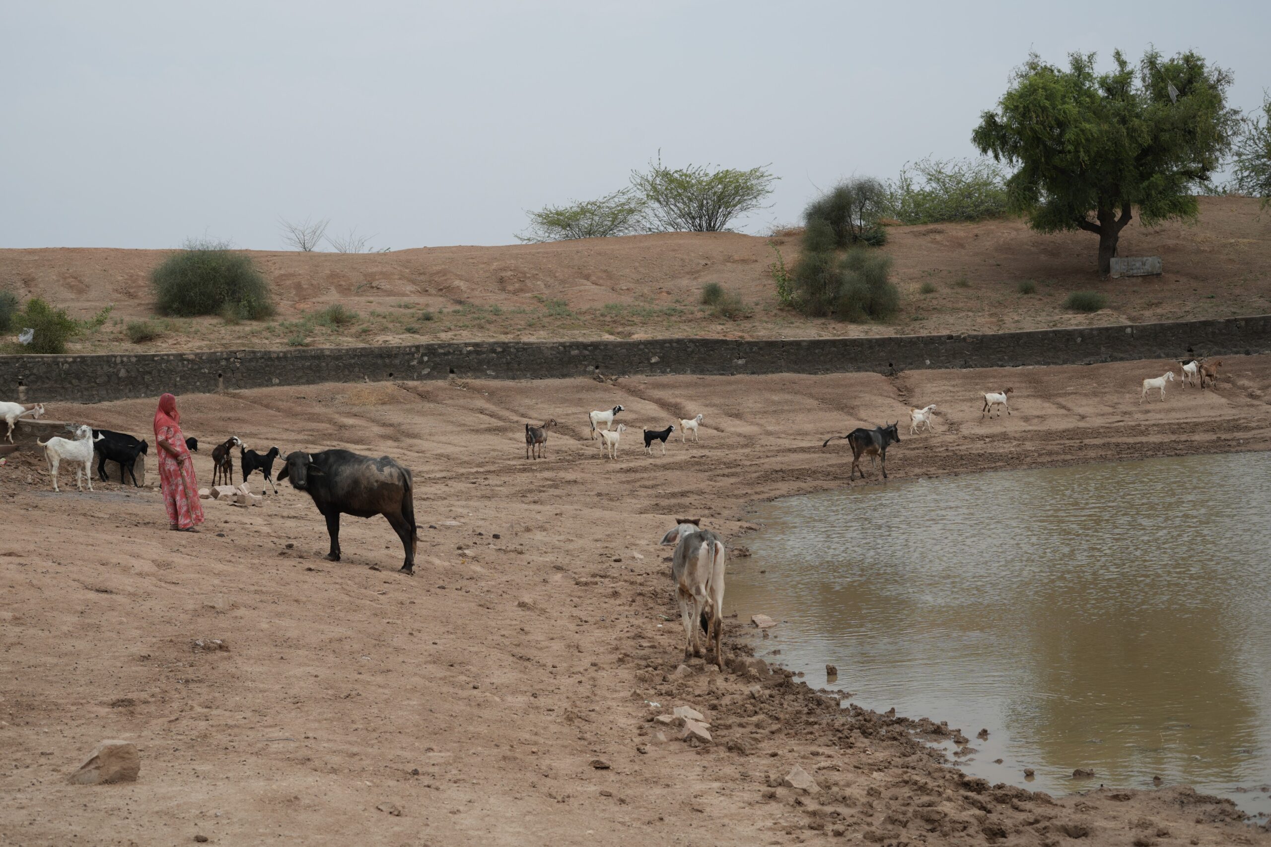
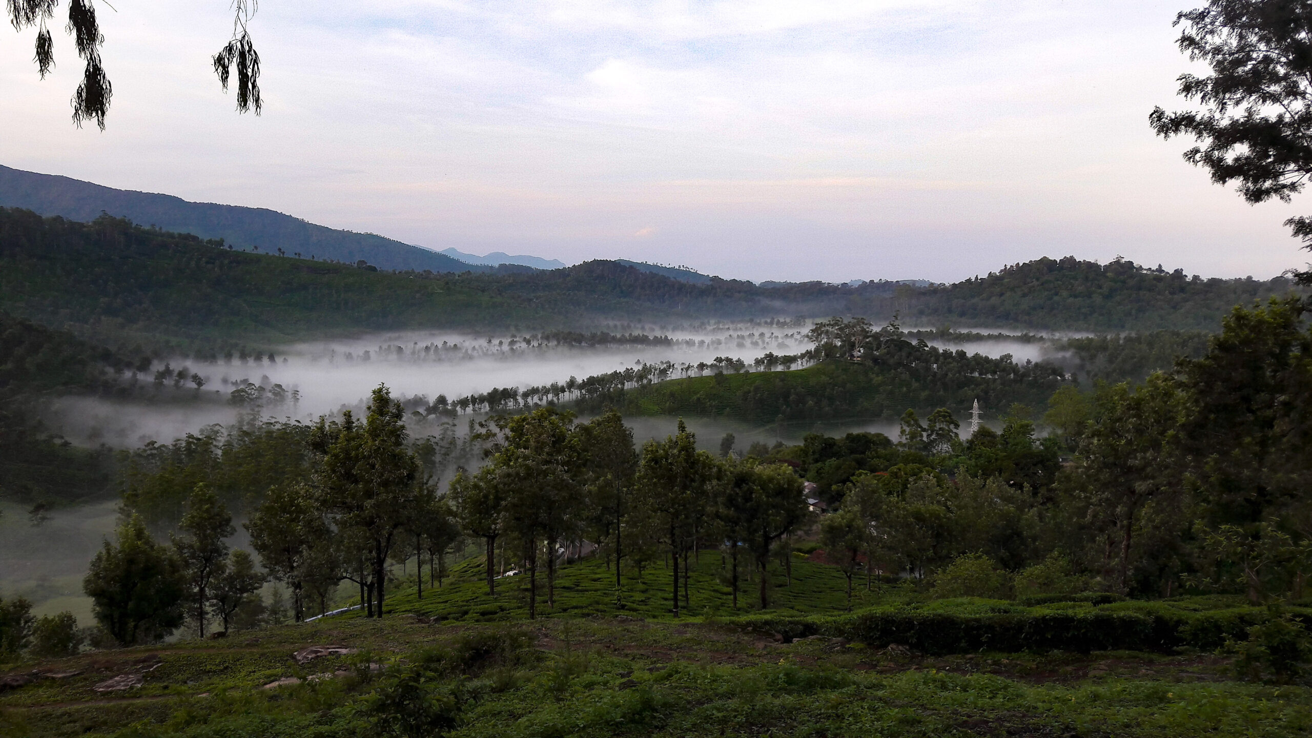
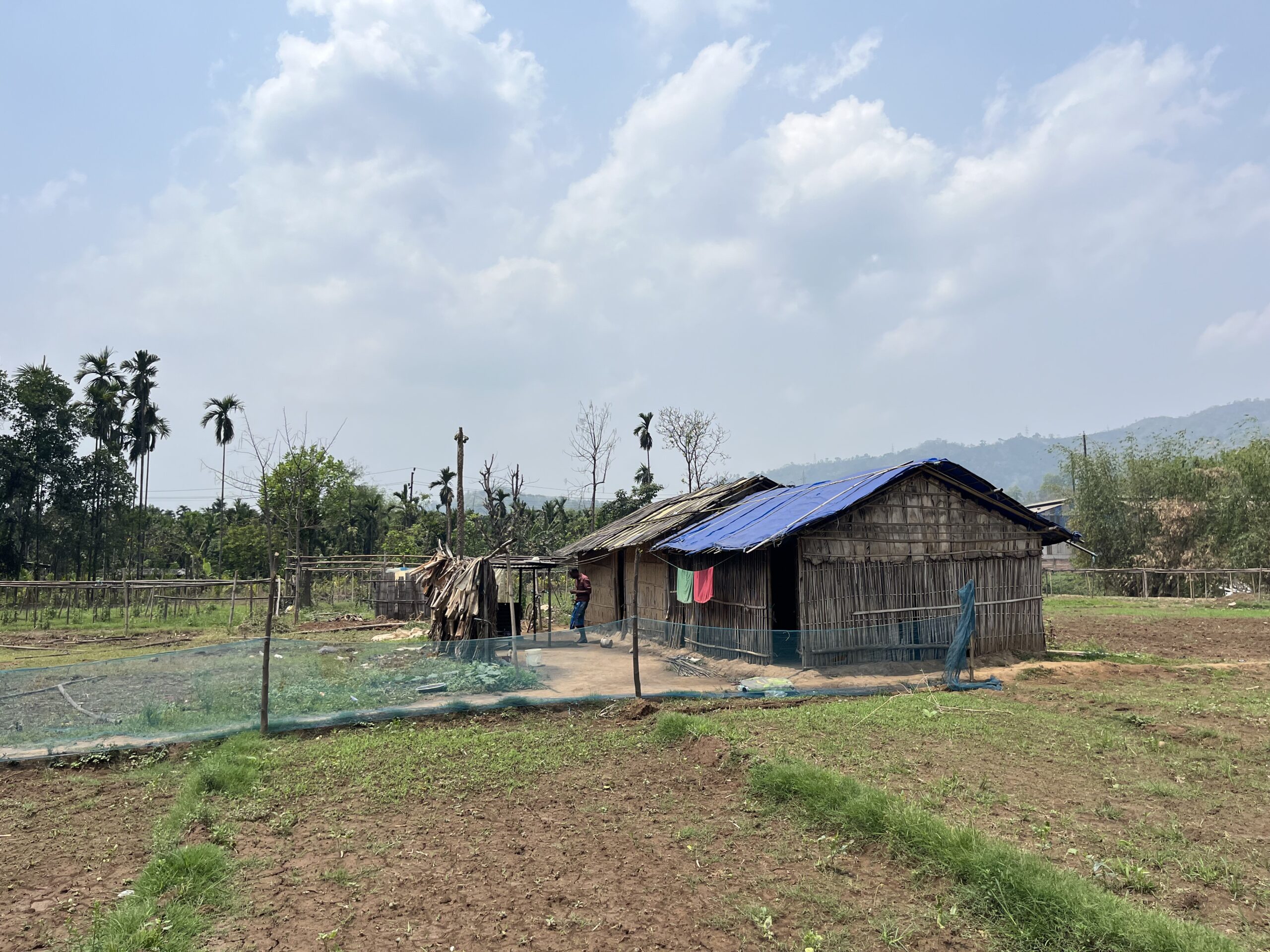
Daybreak is quiet on the fringes of Bengaluru, but Suhas Muniswamy, 27, misses that early morning chill he felt when he went to junior college over a decade ago. “I remember wearing a jumper and a monkey cap”.
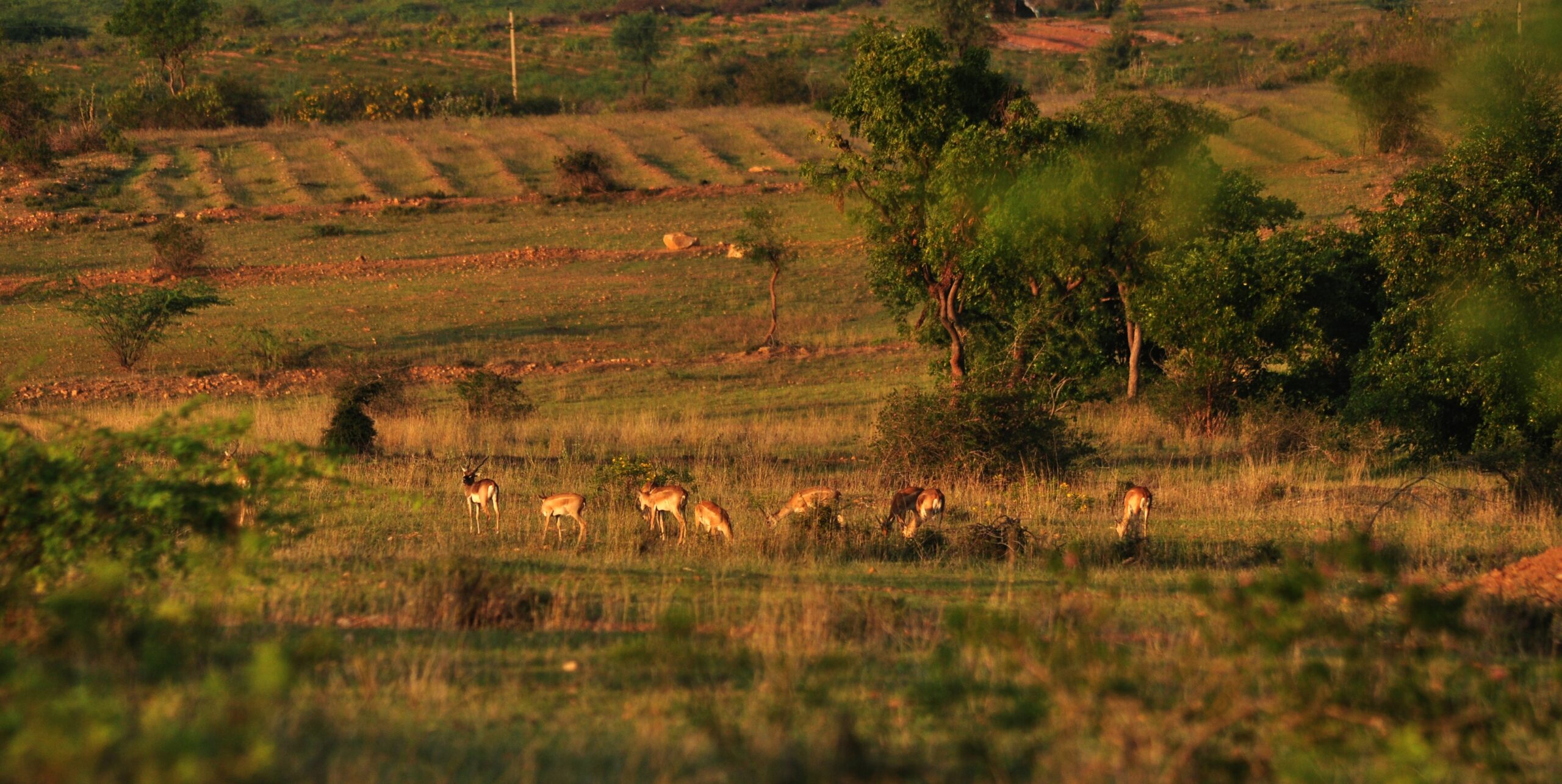
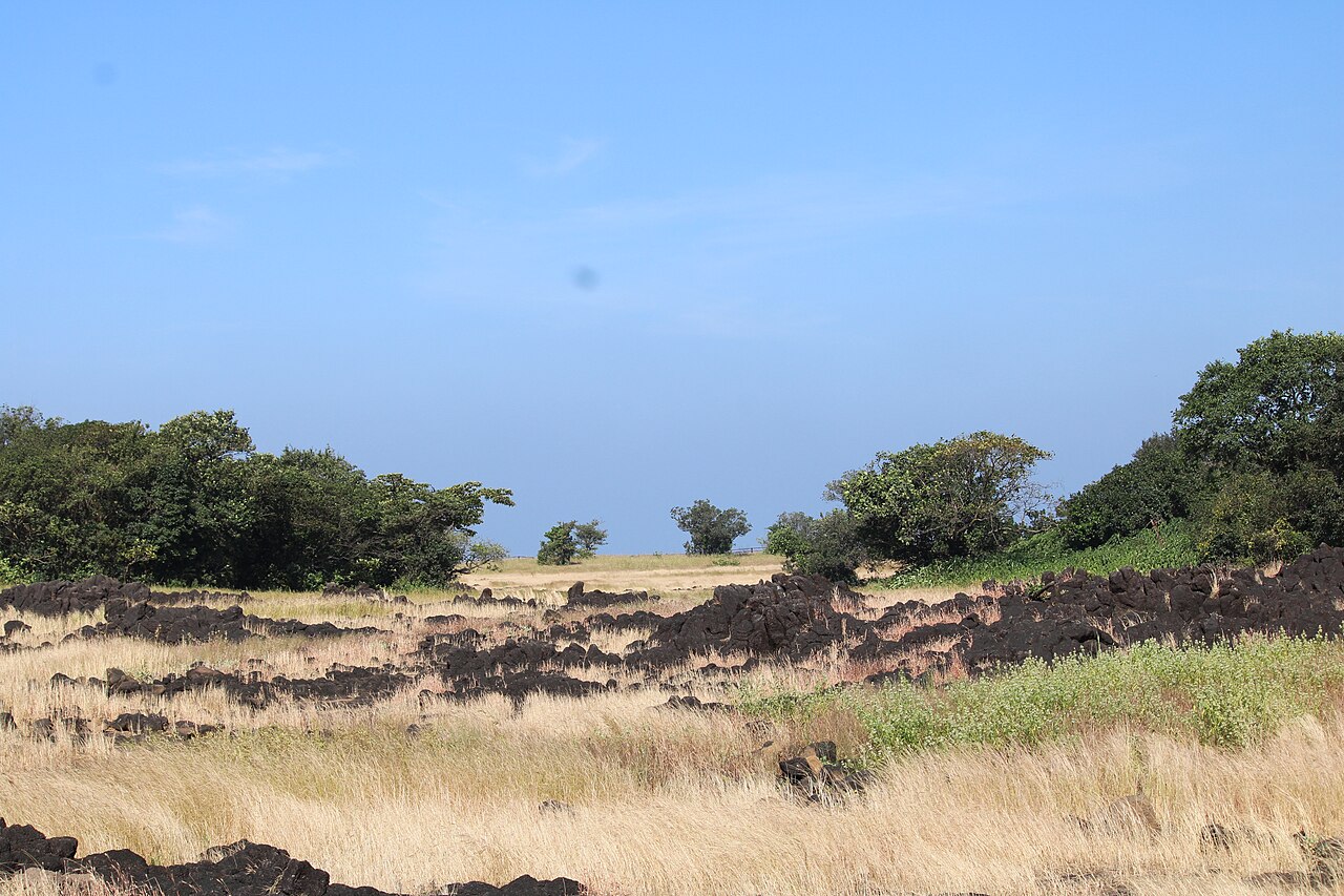
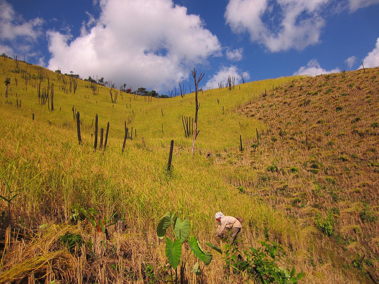
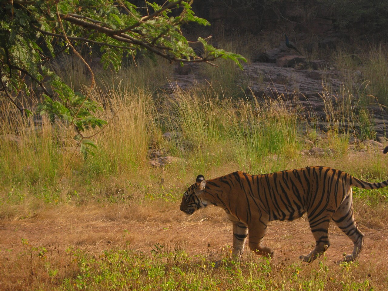
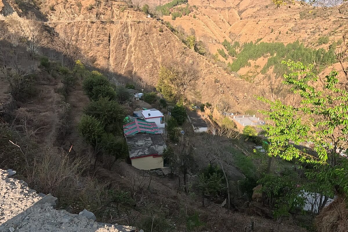
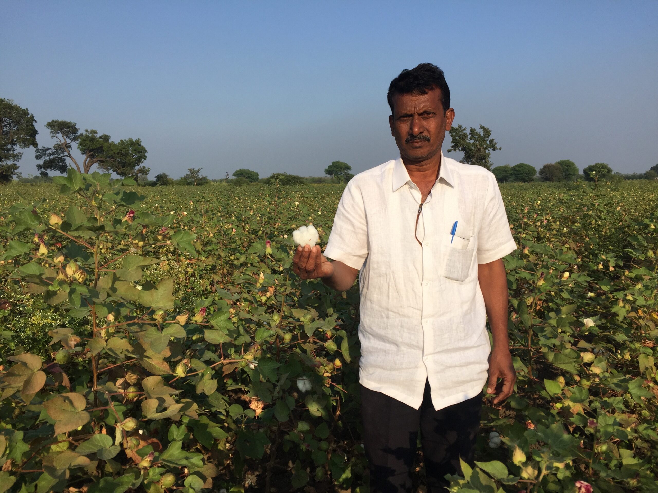
“It’s much warmer now, and the night and the dawn are no longer so cool; but then the forests have retreated, trees vanished as buildings came up all around,” Muniswamy said. His village Chikkahosahalli, 40 km south of the city centre in Anekal taluk of Bengaluru is seeing rapid development. “We were afraid of going to the forests nearby, but we have resorts there now,” he said.
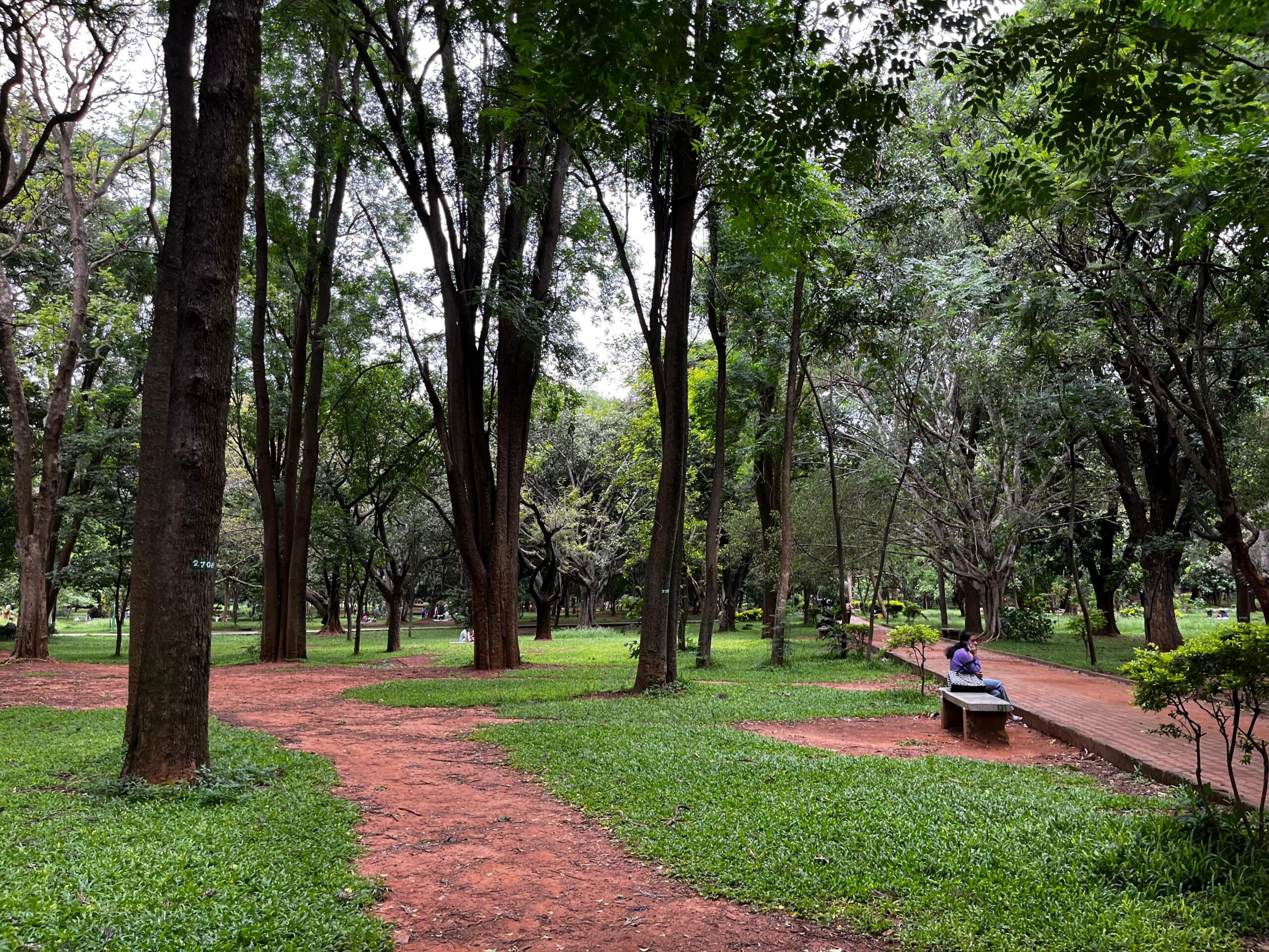
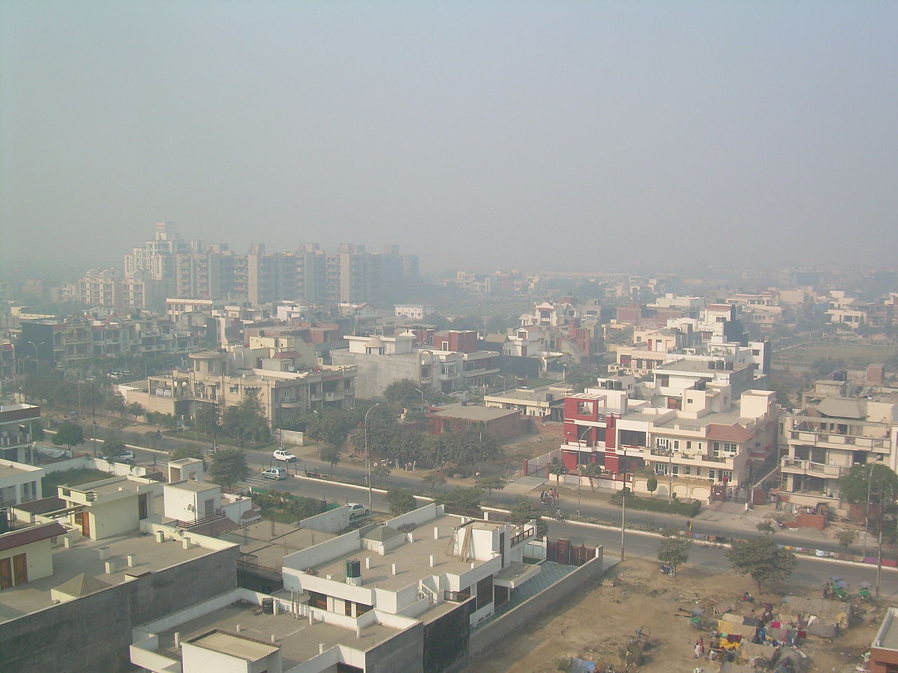
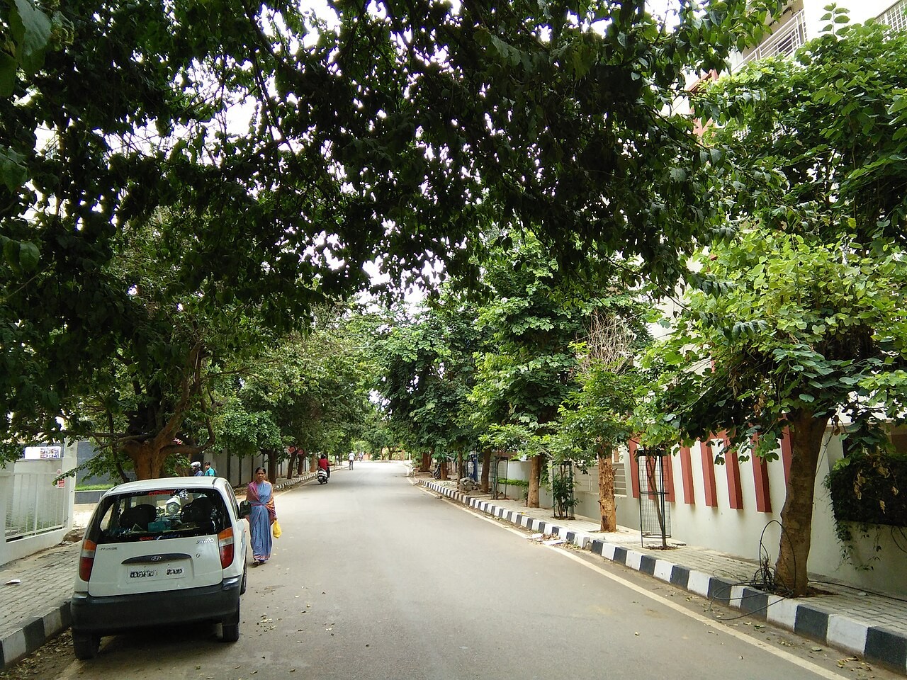
As India’s tech capital stretches beyond its once-leafy bounds, its fringes are emerging as its newest hot zones. While the historic core still holds cool pockets of greenery and lakes built by kings of the yore and colonial-era parks, the periphery tells a different story.
Boomtown
Bengaluru is a bustling metropolis, a melting pot of 13.6 million people. Its exponential growth — a dramatic rise from 745,999 people in 1950 — has been spurred by the city’s infotech industry, booming since the 1990s, drawing talent from across the country and beyond.
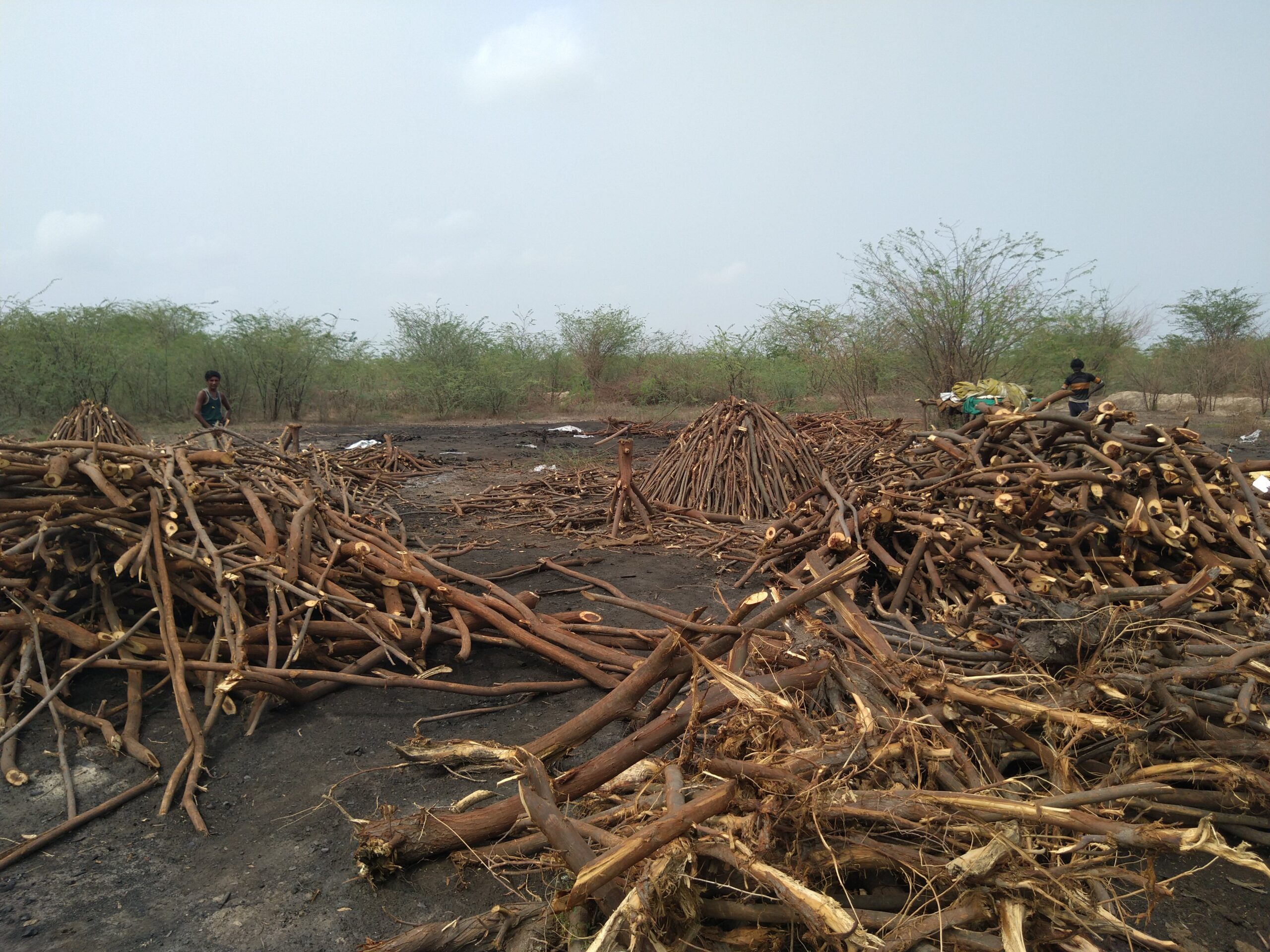
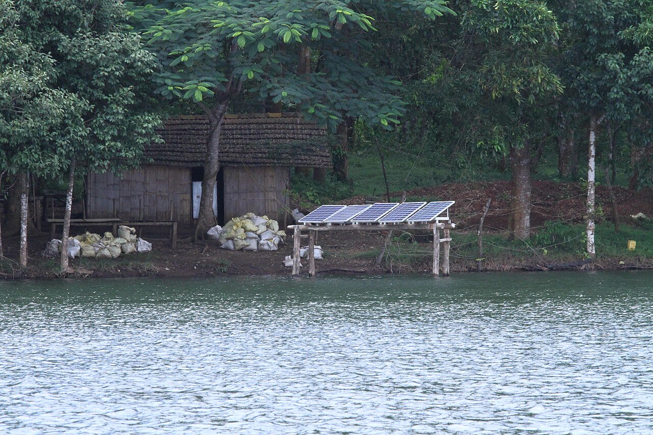
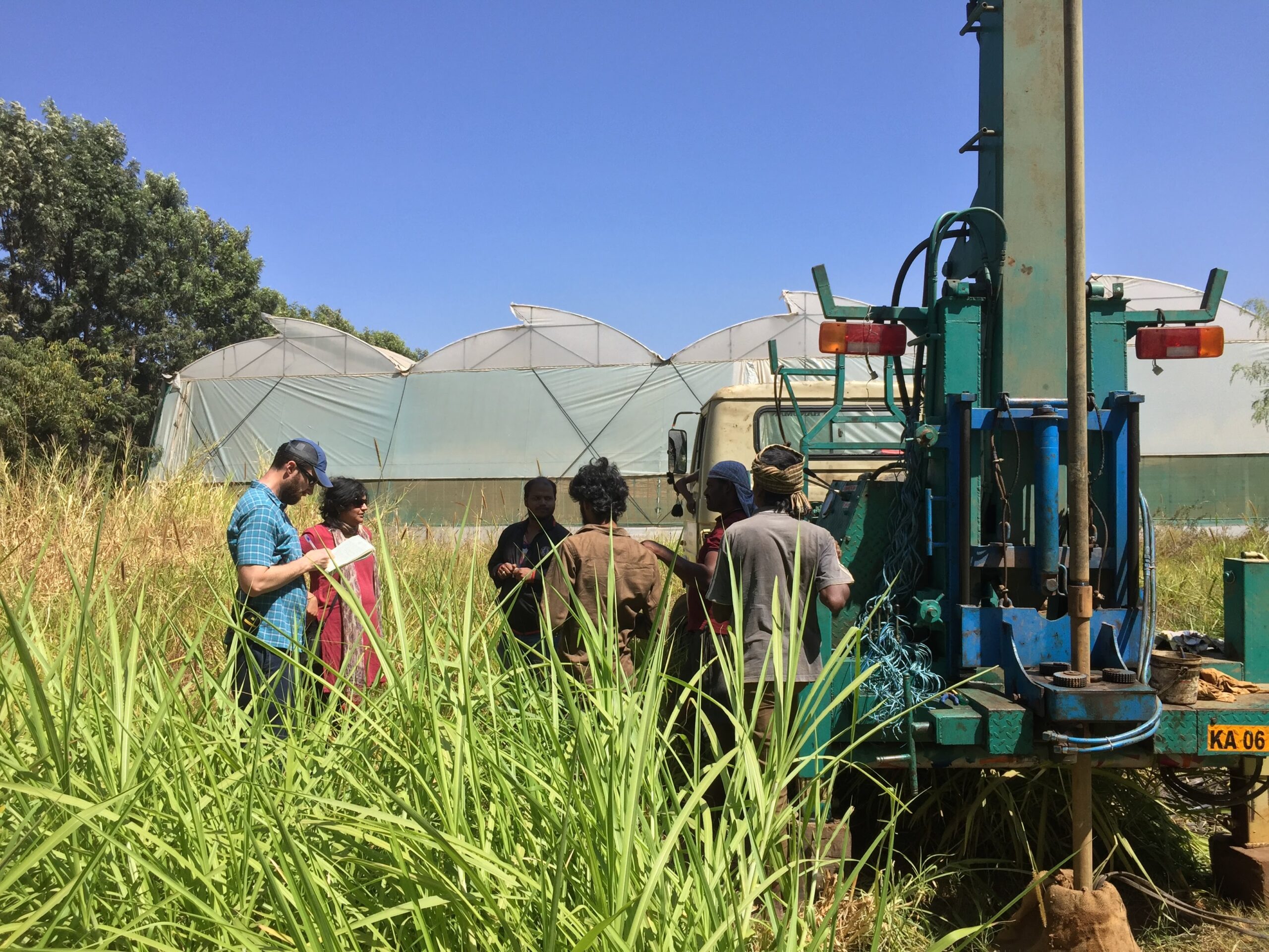
A construction boom — apartment blocks, gated communities, tech parks, townships — has turned farmlands and wetlands into heat-trapping concrete and bitumen sprawls, boosting what scientists call the urban heat island (UHI) effect.
Read more: [Explainer] What are urban heat islands?

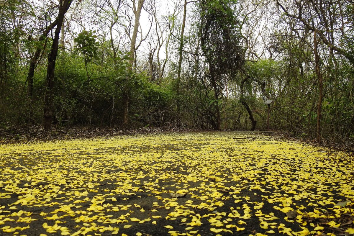
Vanishing woods, islands of heat
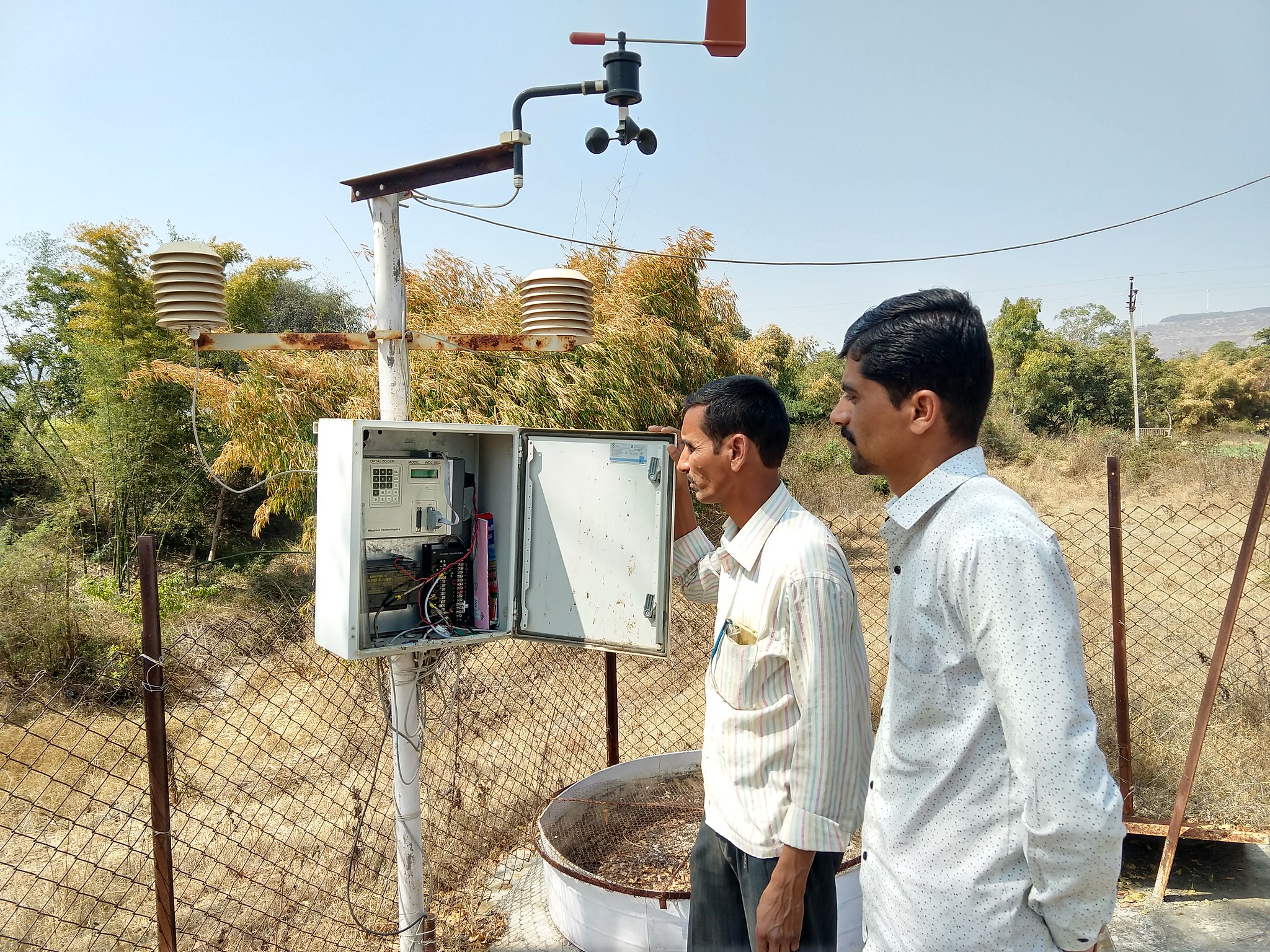
The edges of Bengaluru that are warming up rapidly, are forming new heat islands. A 2025 study, presented at the European Geosciences Union, analysed NASA’s MODIS-Aqua satellite data from 2015 to 2024 and found that the heat islands are no longer confined to the urban centre. Night-time average annual Land Surface Temperature (LST) showed an increasing trend in Bengaluru suburbs and neighbouring villages too.
A 2022 University at Albany doctoral study analysing 15 years of satellite data showed a persistent UHI effect, with city temperatures rising well above those in the surrounding countryside — particularly at night and during the dry season. This analysis by Heather Sussman, based on MODIS satellite land surface temperature data, found the strongest UHI effect during dry-season nights, when the city averaged 1.43°C warmer than nearby non-urban areas.
The warming pattern was reversed during days of the dry season, possibly due to increased aerosol concentrations in the city’s dusty skies, the above study showed. These tiny particles scatter sunlight, muting daytime surface heating. Still, when researchers modelled the city’s heat dynamics, they found that vegetation loss had a greater impact on surface temperature than aerosols.
The loss of greenery is closely linked with a rise in construction. Research has revealed a sharp increase in the city’s built-up area during the 2001-2021 infotech boom along with a decreasing water bodies, vegetation, wasteland, open land and barren land. While the built-up area increased from 462 square kilometres (sq km) to 867 sq km, vegetation decreased from 799 sq km to 485 sq km The city’s hallmark waterbodies such as lakes and tanks declined from 34 sq km to 24 sq km in 20 years. During the period, the average temperature increased by 0.34°C per year between the highest UHI events, compared to 0.14°C per year in non-urbanised areas.
Earlier studies predicted Bengaluru’s transformation from a leafy plateau to a sprawling tech metropolis with an inevitable thermal signature. Satellite imaging studies by the Indian Institute of Science (IISc) Bangalore Centre for Ecological Sciences in 2010 unravels the pattern of growth in Greater Bengaluru and its implication on local climate — an increase of 2 to 2.5 °C during the preceding decade.

A metro bursting at the seams
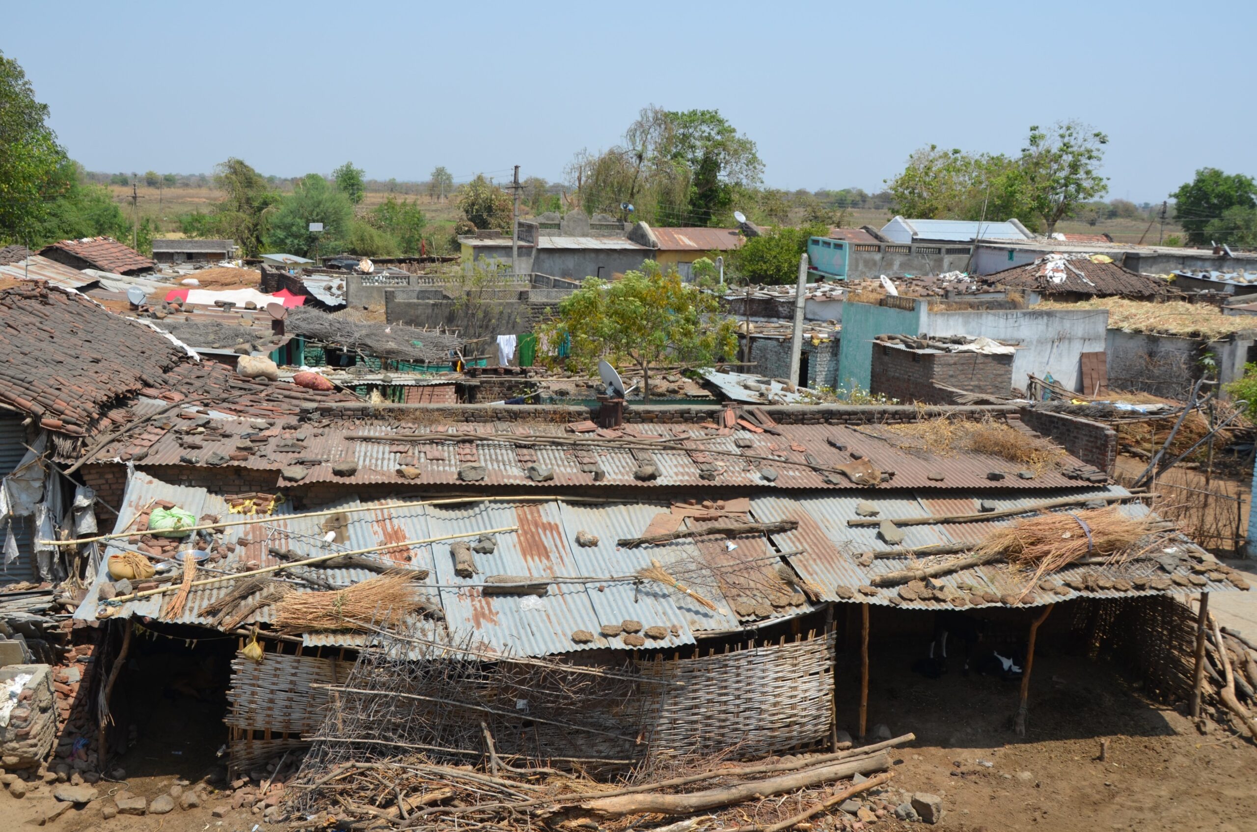
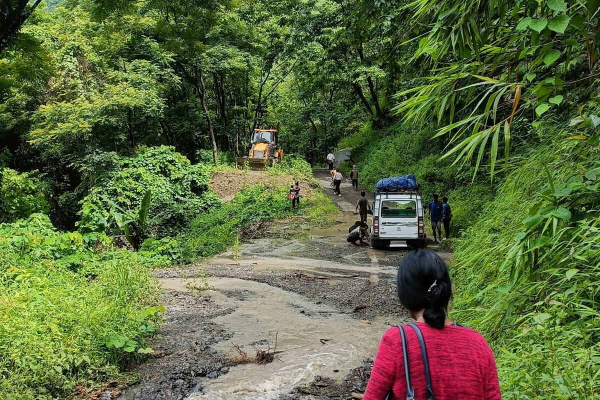
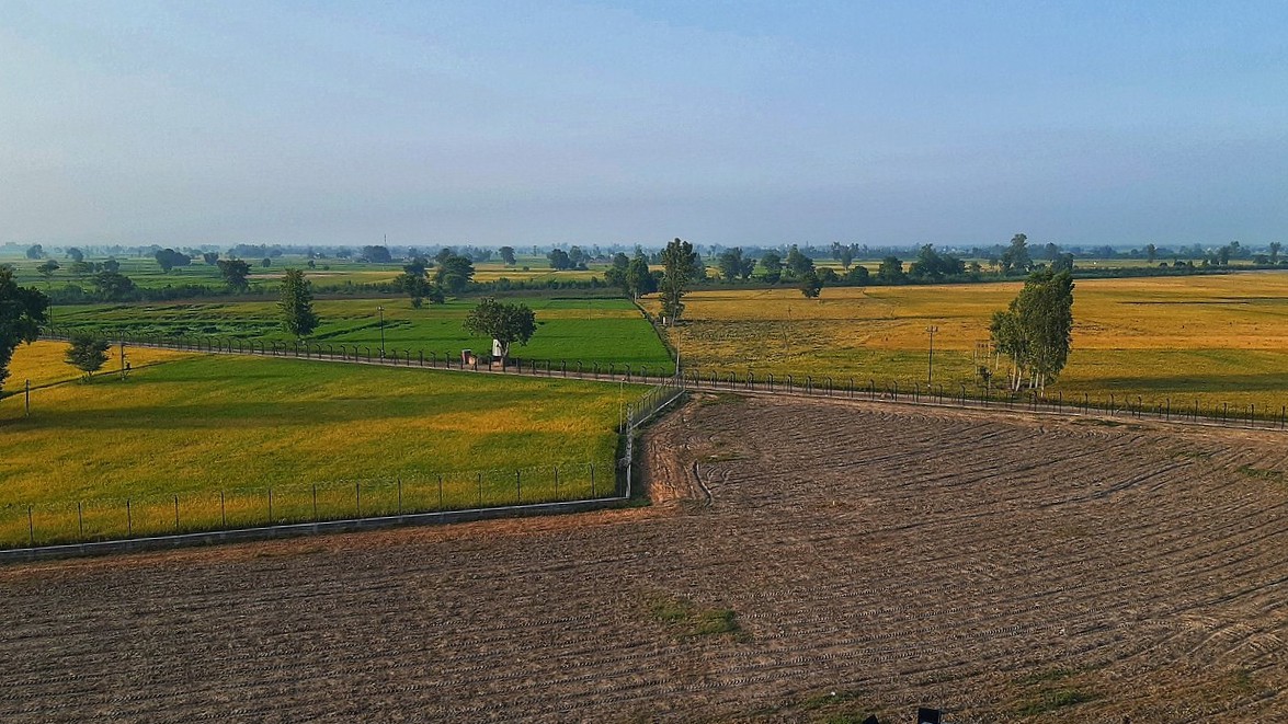
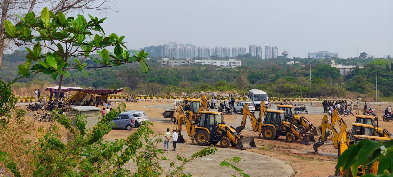
Observers note that on Bengaluru’s peri-urban fringes, a new geography is taking shape, forged by chaotic real estate expansion, eroding ecosystems, and absent governance. In many of these areas, there’s little to no space for regular infrastructure or greenery, no clear zoning, and virtually no enforcement of urban design norms.
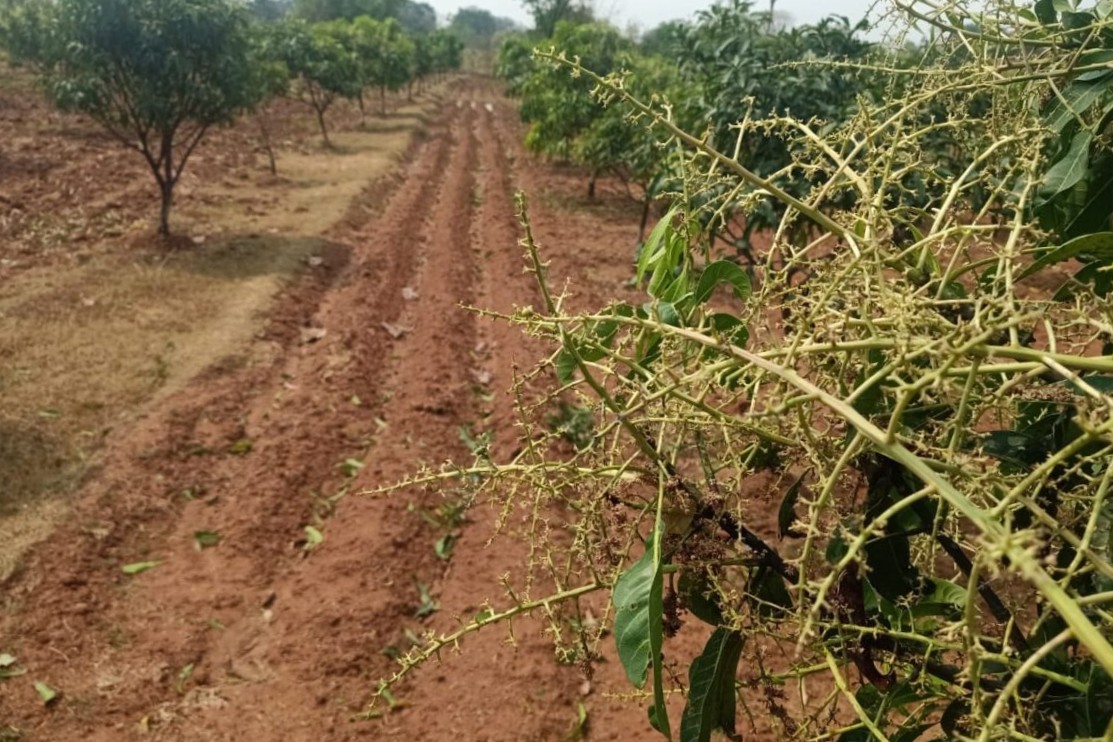
What were once lakes, orchards, or pasture lands have been overrun by dense, unregulated housing layouts, often retroactively legalised through administrative sleights like reclassifying farmland.
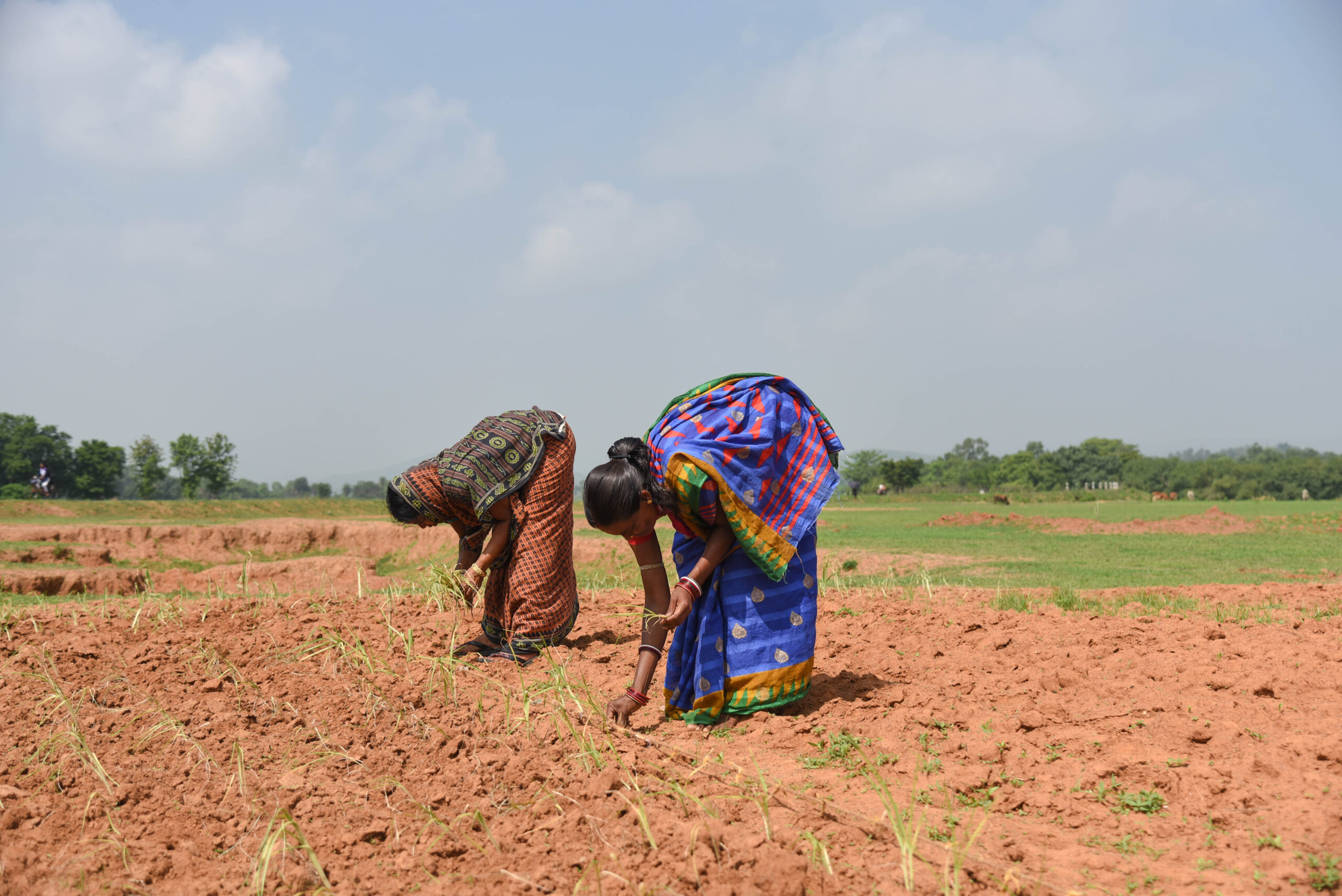
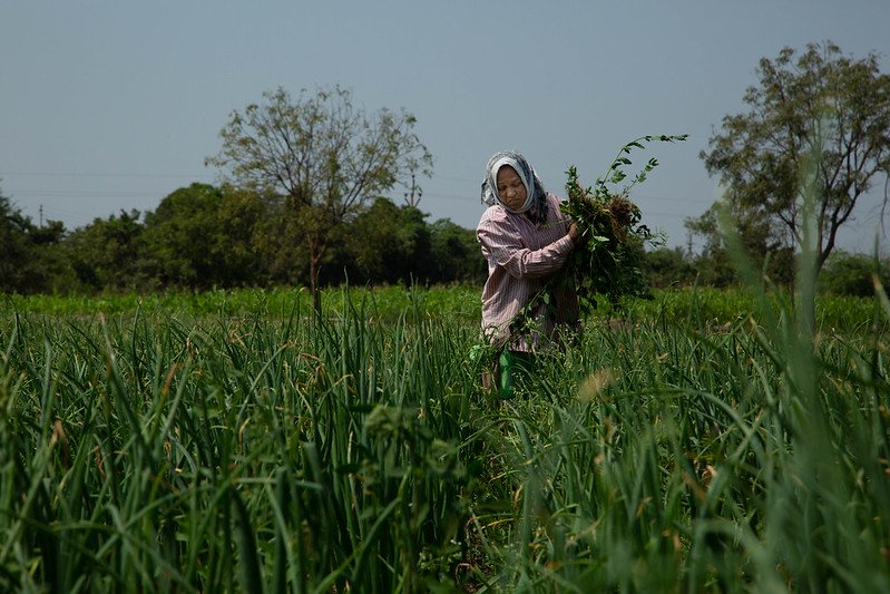
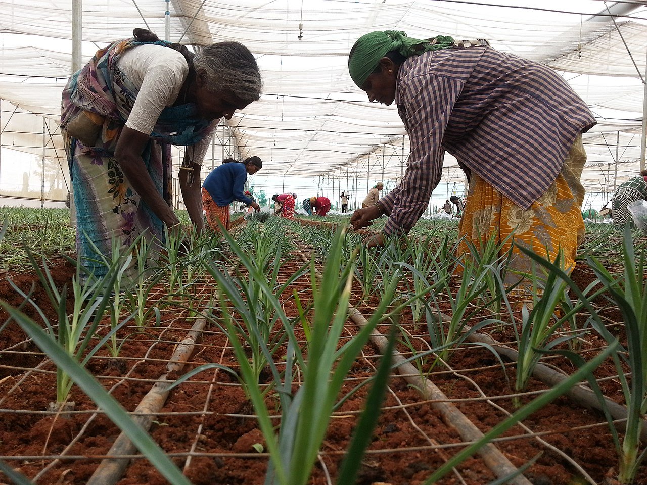
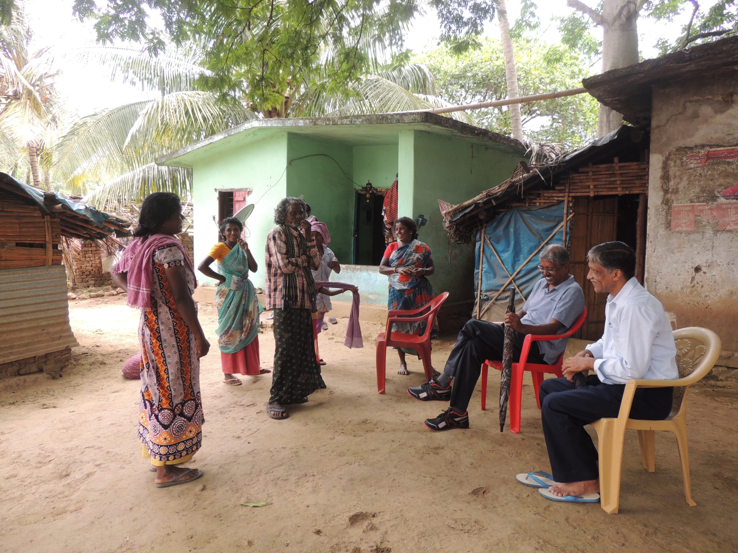
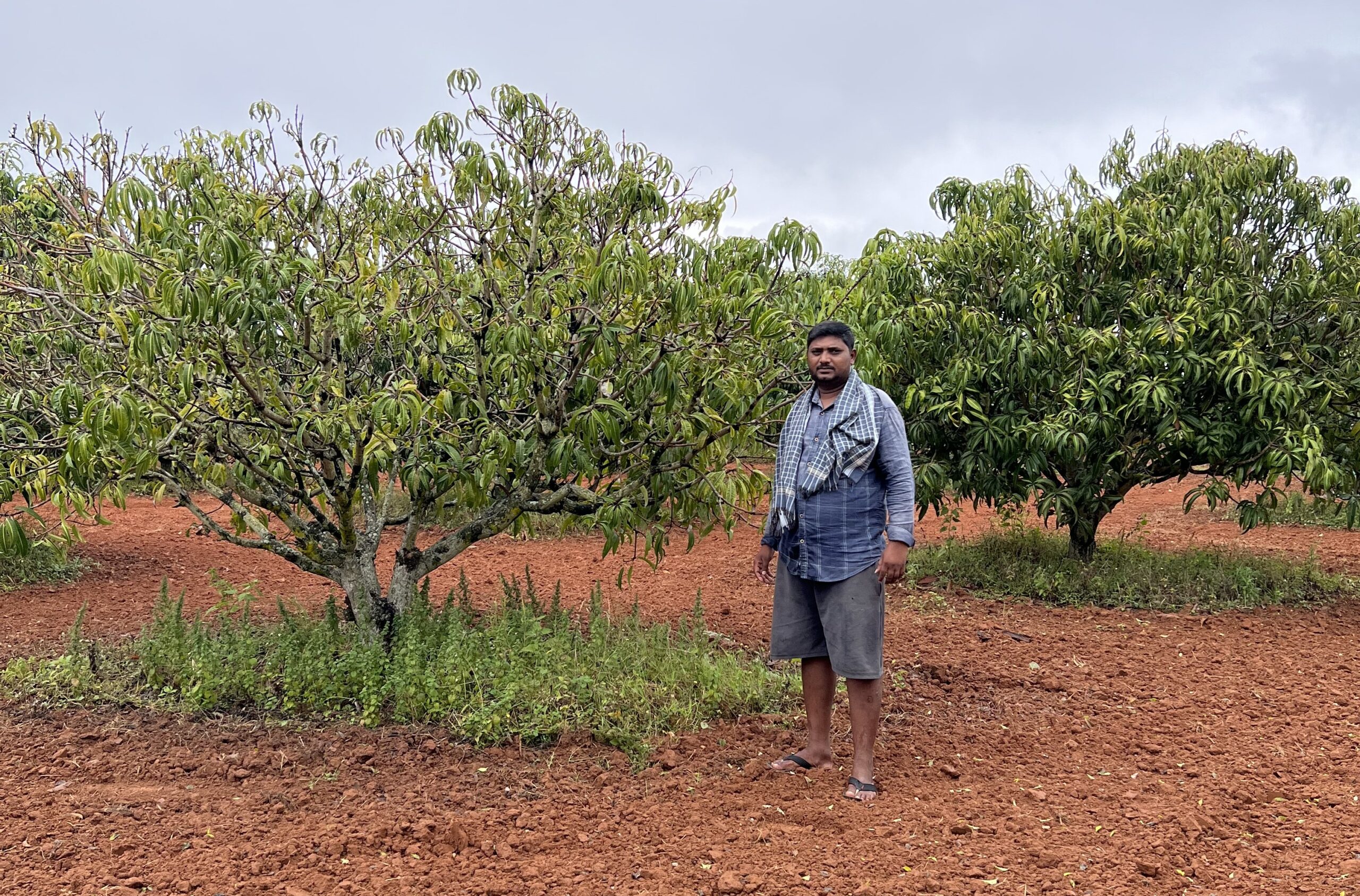
Suburbs get built up rapidly, dramatically changing the landscape. “When I came looking for land here seven years ago, there were farmlands, a lot of greenery and cows were grazing around,” said Jay Shankar, 58, a resident of Sarjapur, 27 km southeast of the city centre. “I could see people taking rest under the trees.” Shankar and his family moved in from the city looking for a quiet and green place, even though he had to drive a long way to work.
“In the past six years I’ve been here, I could see dramatic changes,” Shankar told Mongabay India. “It’s mostly built-up area now — multi-storey apartments, matchbox-like structures meant for renting out, and even a shantytown. A lot of people have moved in and the rent has skyrocketed, so has property prices.”
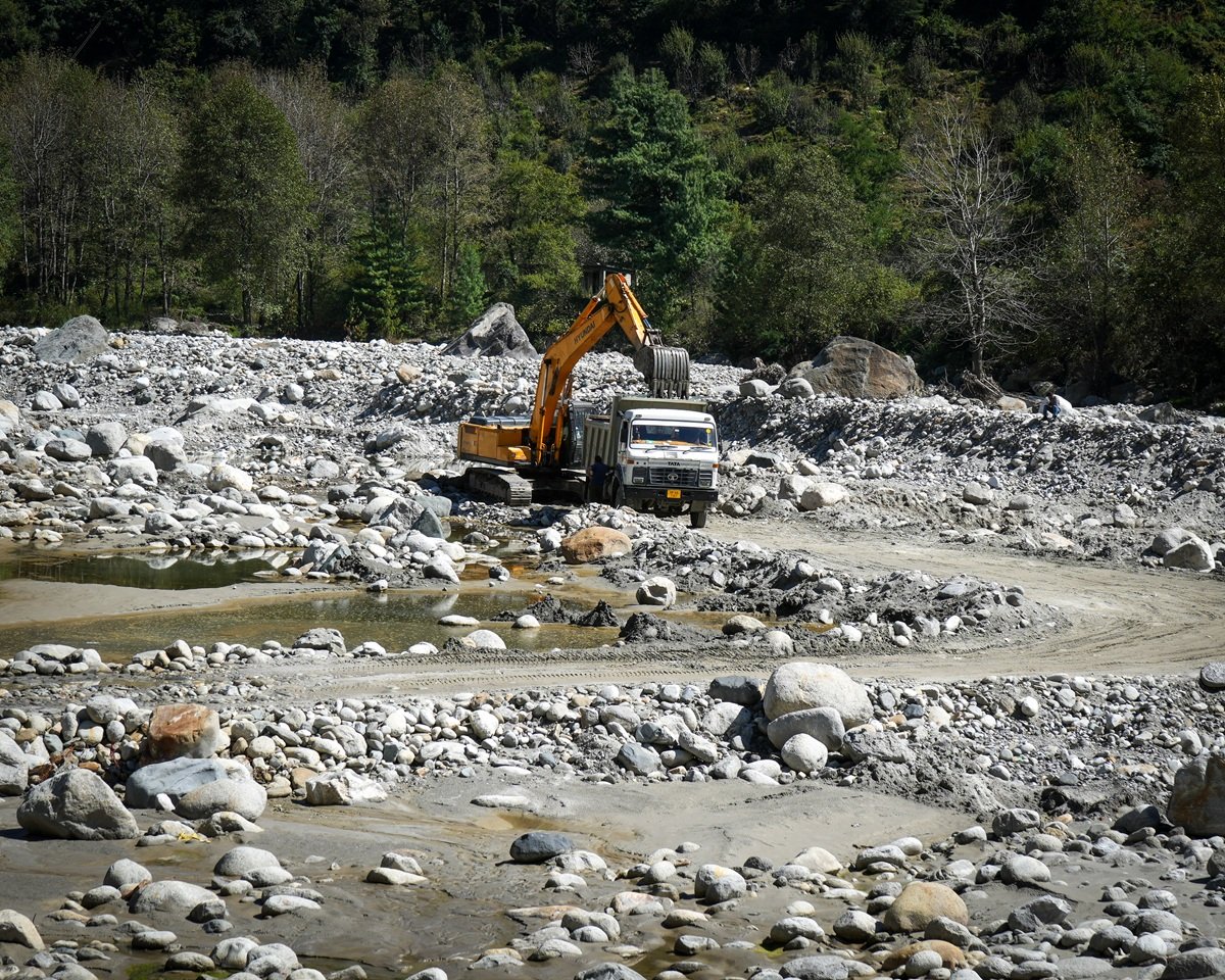
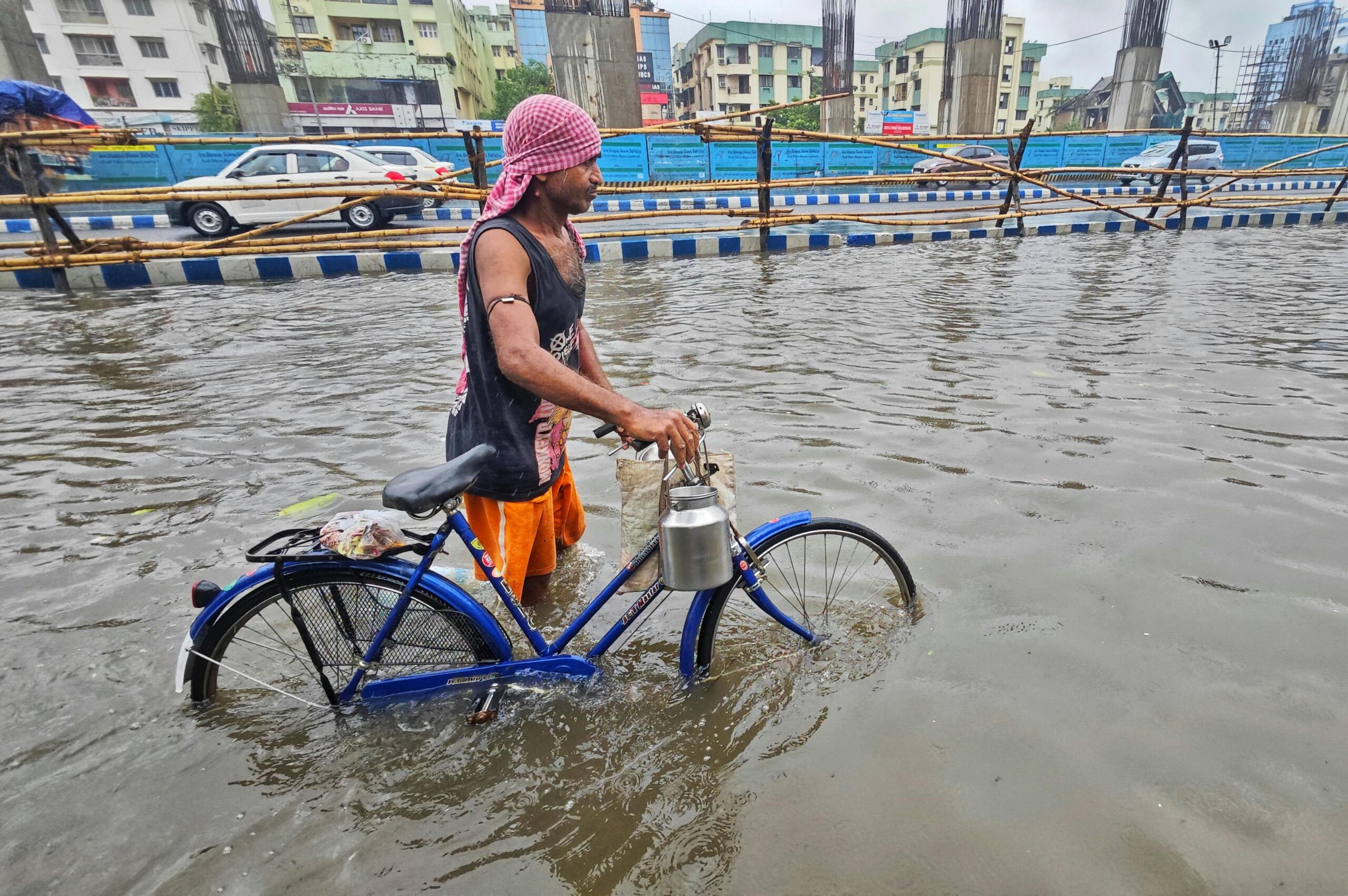
Such rapid, unplanned construction often involve choking of natural drains (raja kaluves), reclamation of lakes, and conversion of farmlands, planners point out. Without functioning water pipes, sewage or stormwater systems, many settlements are vulnerable not only to heat but to flash floods and water shortage, as recent media reports show.

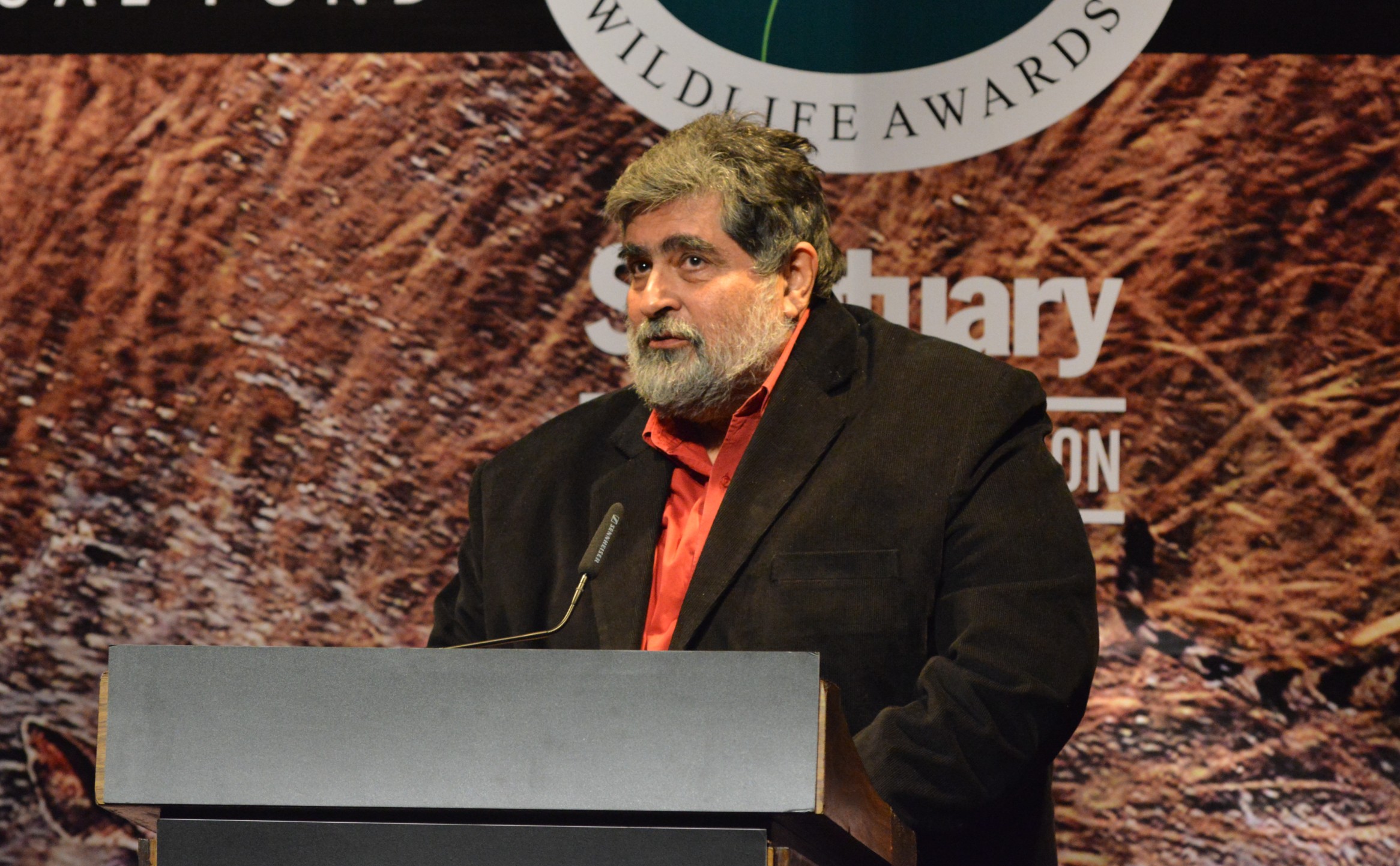
“Often these outskirts are under-governed areas with no land use plan or effective building bylaws, so development happens in a haphazard manner,” pointed out Vishwanath Srikantiah, an urban planner and water conservation expert based in Bengaluru, in a conversation with Mongabay India. “Bengaluru appears to be gridlocked by poorly planned peri-urban development.”
As half of the development will now be in these peri-urban areas, the government needs to look at better planning, more formal structures and tough regulation, Srikantiah said. There are right moves in this regard, he added.
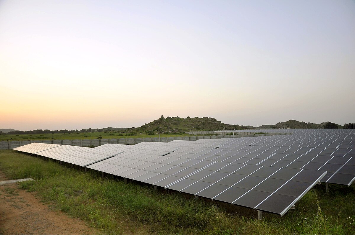
There are indeed several government initiatives that contribute to better land management of the Bengaluru peripheries. The Bengaluru Metropolitan Region Development Authority (BMRDA), whose mandate covers the city’s expanding outskirts protects water bodies, conserving green belts, and encourages sustainable and ecofriendly townships. The Bengaluru International Airport Area Planning Authority (BIAAPA), tasked with regulating development around Kempegowda International Airport, promotes green spaces and conservation of river valleys. Bengaluru Climate Action and Resilience Plan (BCAP) further promotes these measures.
Blue-green options
Studies indicate the blue-green development pattern promoted by BCAP works. The city lakes and green belts regulate the surface temperature pattern of the city. The lowest temperature in the urban area is observed over water bodies, followed places with green cover such as university campuses.
Model studies also show that replacing built-up area by greenery by as little as ten percent can reduce the urban heat. This change can also enhance latent heat flux (exchange of energy between the surface and the atmosphere), the process by which vegetation cools land surface through evaporation. As Sussman put it, “increasing vegetation by a small amount could have major benefits.” The implication is clear: a modest return to greener cityscapes could counteract some of the warming driven by dense, unregulated development on Bengaluru’s edges.

“Outskirts of Bengaluru have only recently been urbanised, (so) it may be easier to convert those areas back to vegetated or increase vegetation substantially,” Sussman of University at Albany argued. “This would likely result in cooling of the outskirts and due to the documented downwind effect, temperature advection would aid in cooling central areas of the city.” Advection denotes the horizontal movement of cold and warm air by the wind.
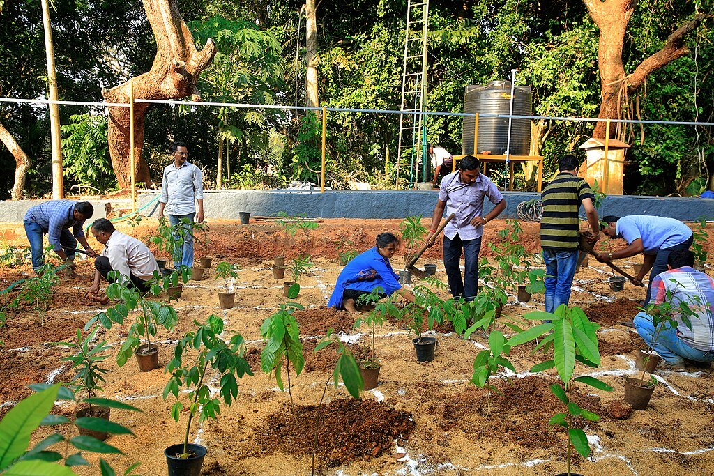
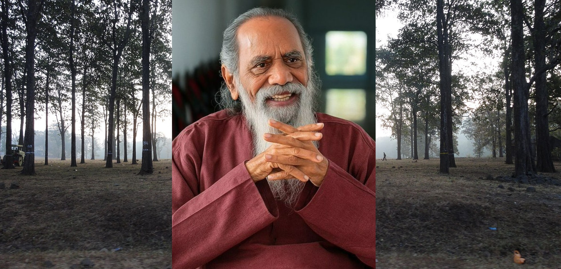
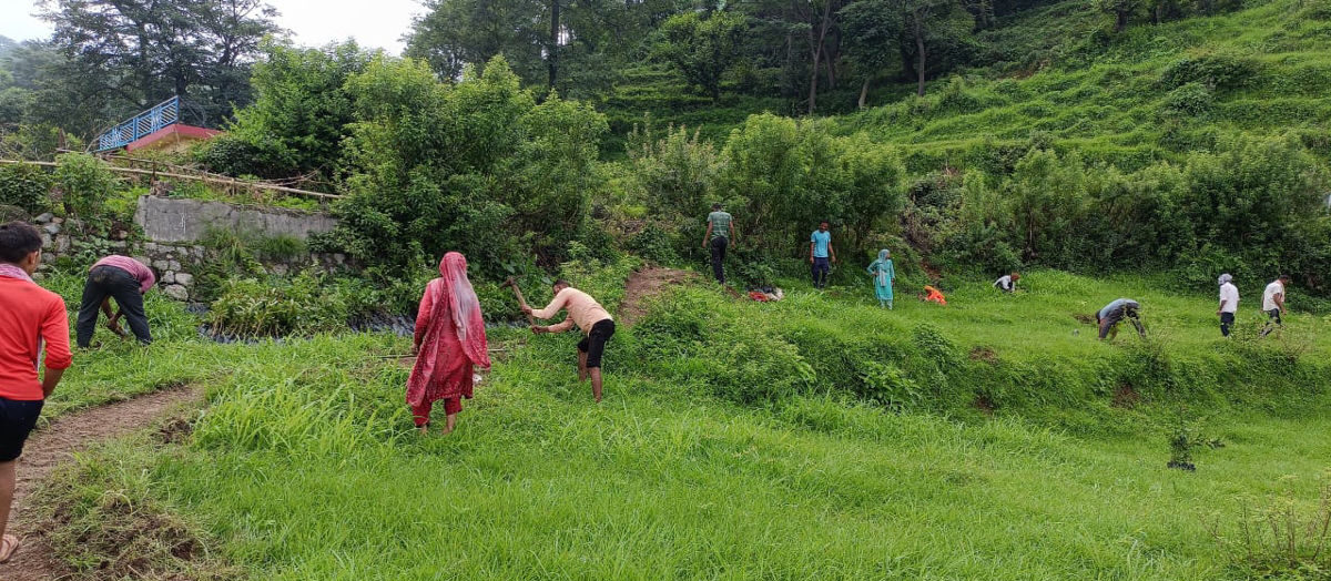
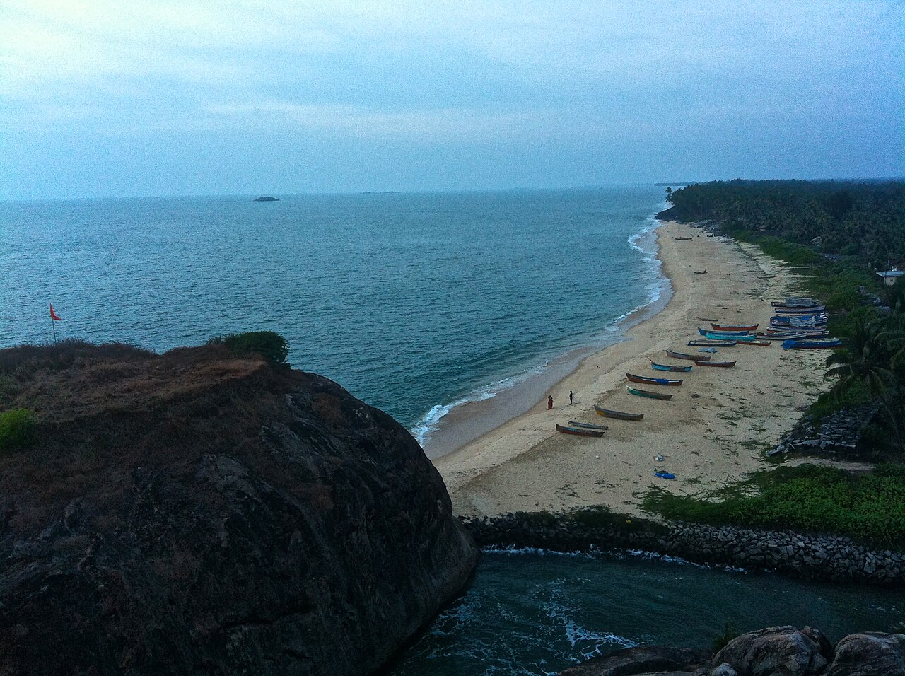
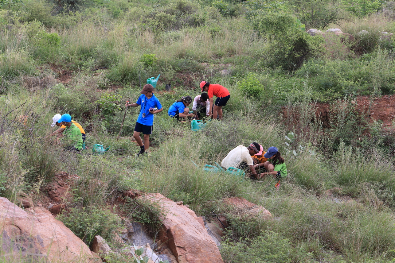
Rapid greening is possible, as experiments elsewhere show. As M. R. Hari, an urban forestry expert narrates, a Miyawaki Forest can grow independently in three years with considerable cooling effects. He told Mongabay India that a forest he grew on a rocky terrain on the fringes of Thiruvananthapuram city is 10°C cooler than the barren surroundings on sweltering summer days. “You can grow a forest on your backyard, street-side; or shrubs on your balcony or terrace.”
There can be architecture solutions too. “While indoor thermal comfort is largely a function of building design, external thermal comfort in urban areas can be enhanced through landscaping and efficient urban planning and design,” said Reshmi M.K., Associate Professor in the School of Architecture, Christ University, Bengaluru. “Providing guidelines on materials especially used in pavements and buildings as well as implementation of blue green infrastructure strategies can have a positive impact on reduction of urban heat island formation.” She recommends pervious material that allows water to pass through over hard blocks for pavements. Examples include porous asphalt, pervious concrete and even plastic reinforcing grids.
Even minor steps like making incorporating biophilic design elements, such as green facades or vegetation into building design can reduce indoor temperatures studies show. Integrating plants with building roofs, for instance, can achieve considerable cooling effect.
As planners say, as Bengaluru expands, it is important to cool its peri-urban fringes where much of the development is happening.
Read more: Bengaluru trapped in ‘tunnel vision’
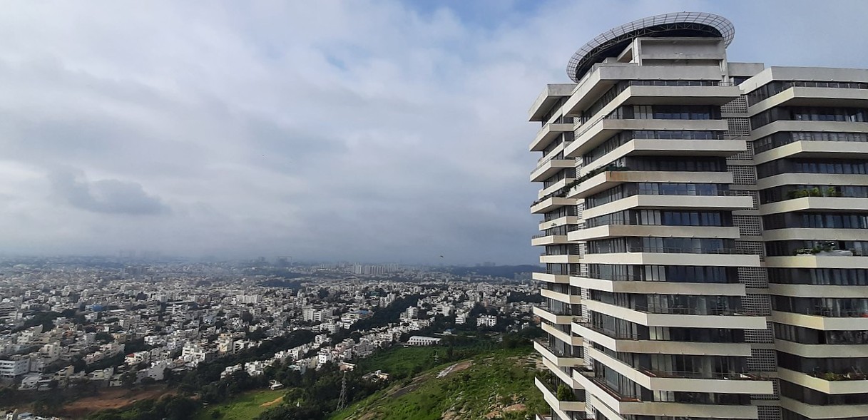
Banner image: A view of Bengaluru city from an apartment complex in Banashankari. Image by Kushagra140 via Wikimedia Commons (CC BY-SA 4.0).