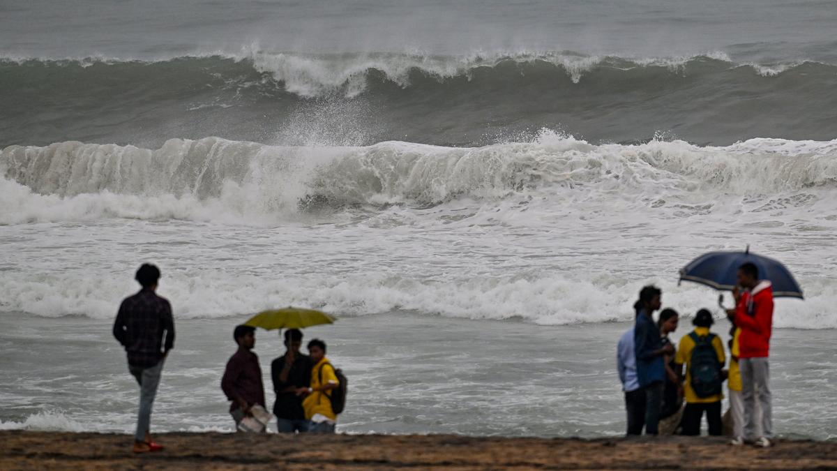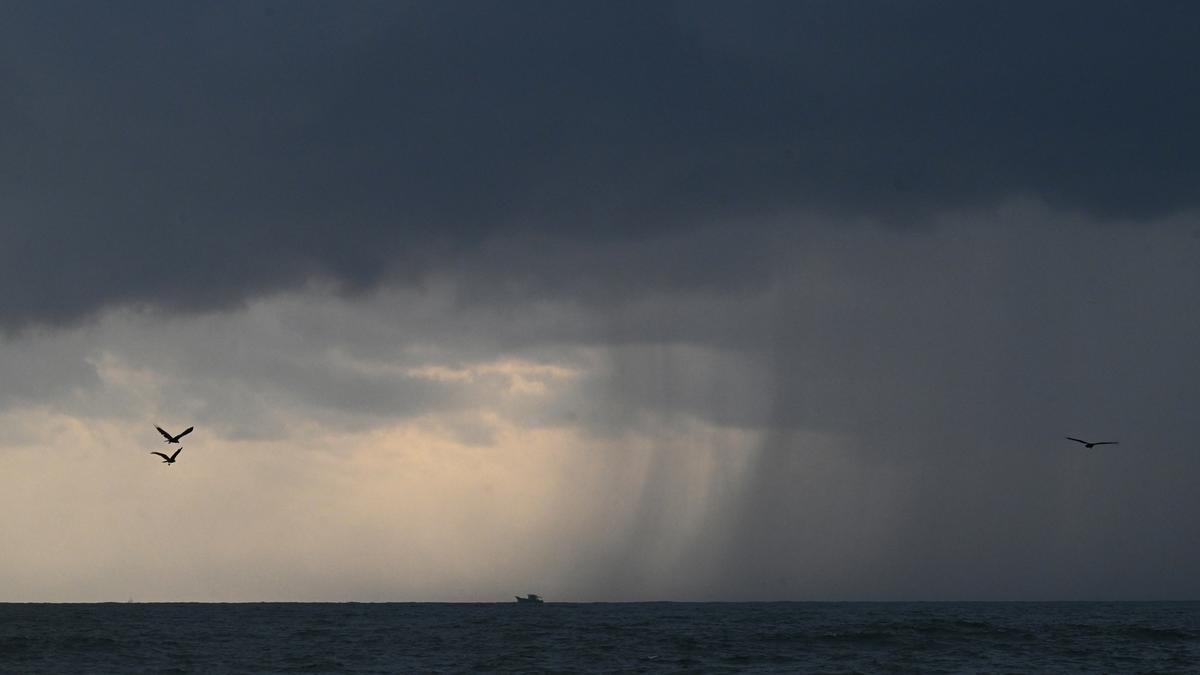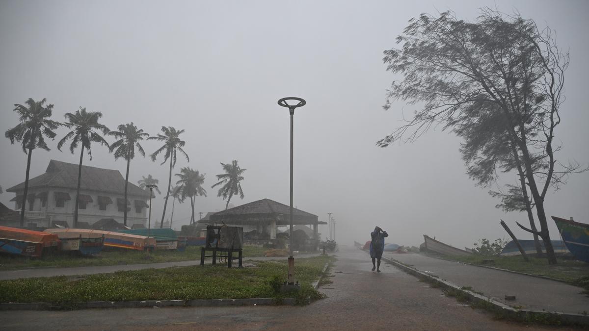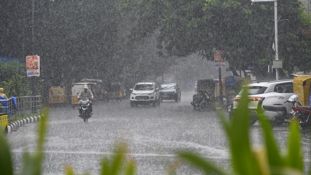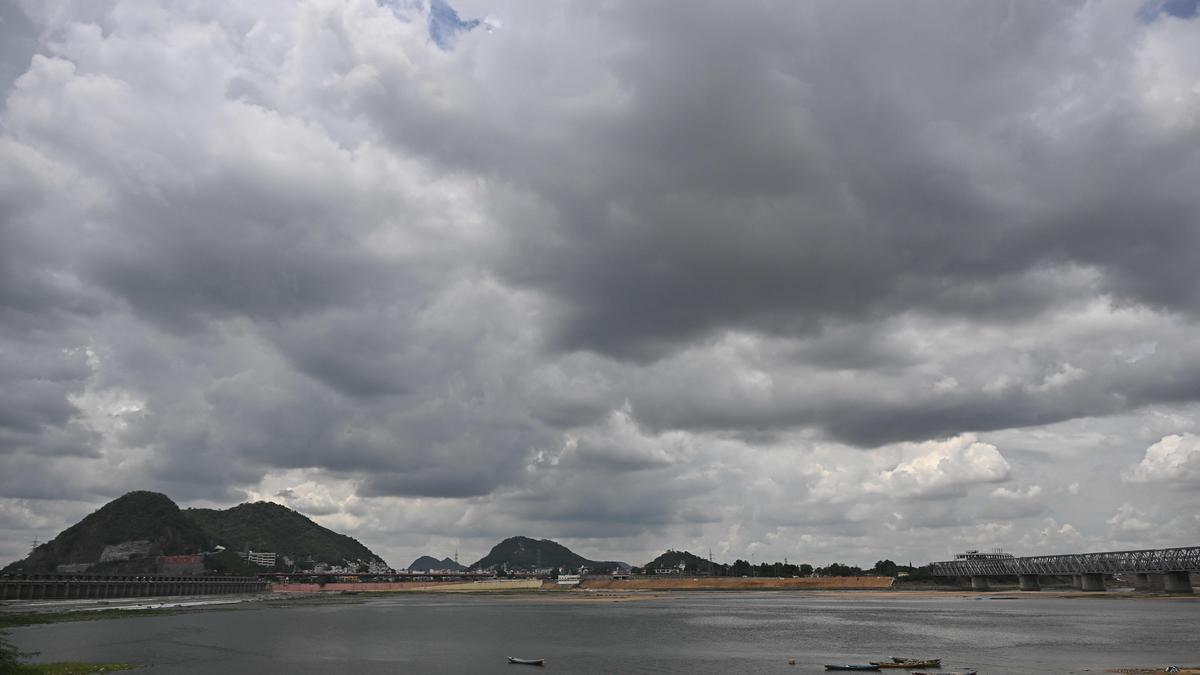
The Regional Meteorological Centre (RMC) here on Tuesday said that the meteorological conditions are likely to become favourable for the onset of the southwest Monsoon over Kerala during the next 4-5 days. The conditions are also likely to become favourable for advance of the monsoon over some parts of Tamil Nadu during the same period.
B. Amudha, head (Additional in-charge), RMC, said that an upper air cyclonic circulation is likely to form over East central Arabian Sea off Karnataka coast around Wednesday. Under its influence, a low-pressure area is likely to form over the same region around Thursday. Thereafter, it is likely to move northwards and intensify further.
On how the onset and advance of the monsoon is declared, she explained that if after May 10, 60% of the 14 stations including Minicoy, Amini, Thiruvananthapuram, Kollam, Alapuzha, Punalur, Kottayam, Kochi, Thrissur, Kozhikoda, Thalassery, Kannur, Kudulu and Mangalore report rainfall of 2.5 mm or more for two consecutive days, the onset over Kerala can be declared on the second day, provided other criteria including speed of the westerly winds are also met. The monsoon normally sets in over Kerala around June 1 and advances northwards, usually in surges and covers the entire country around July 15.
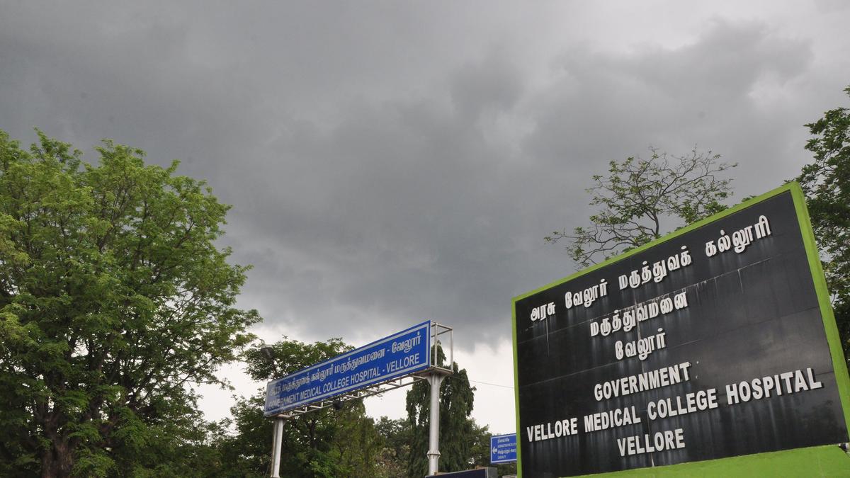
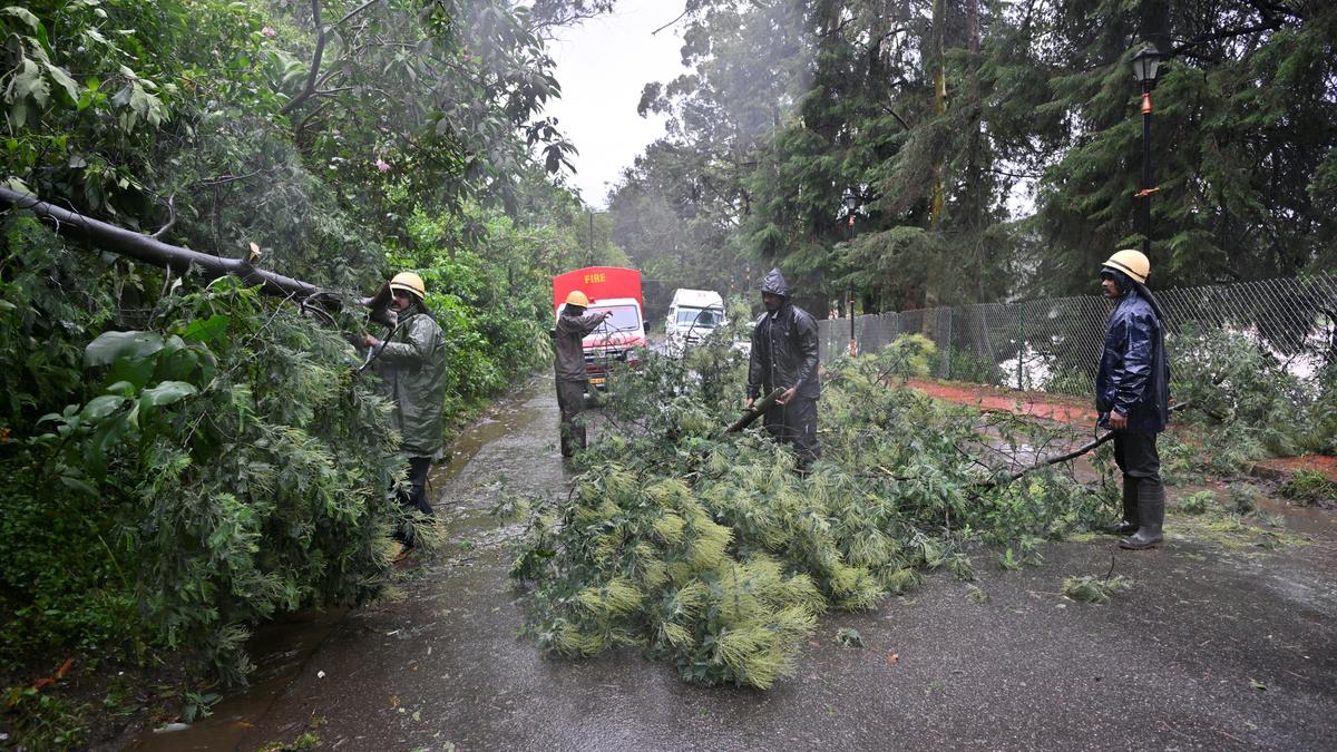
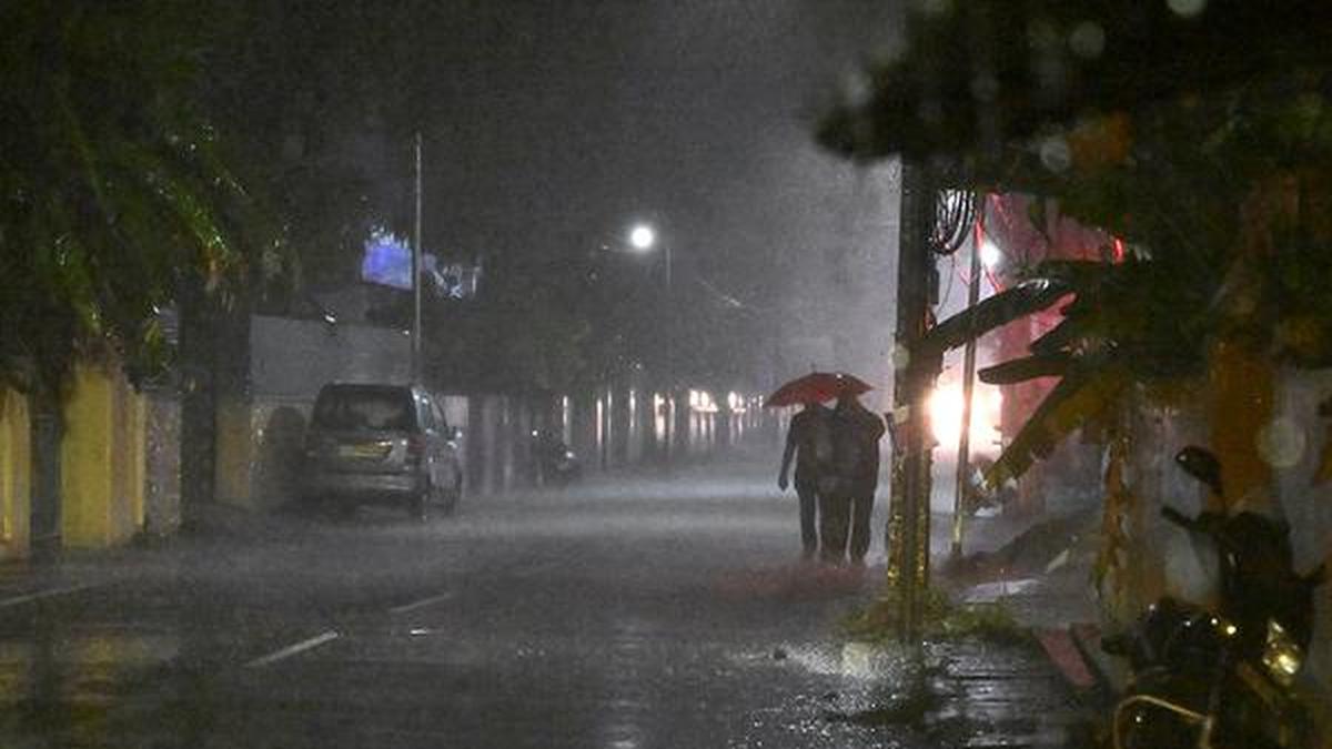
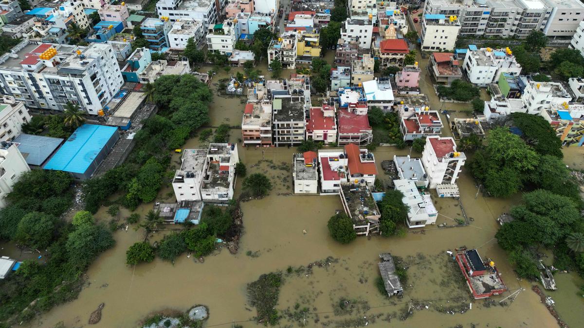
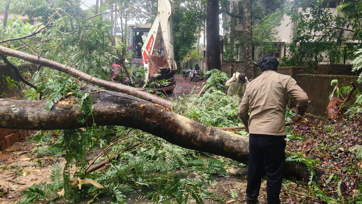
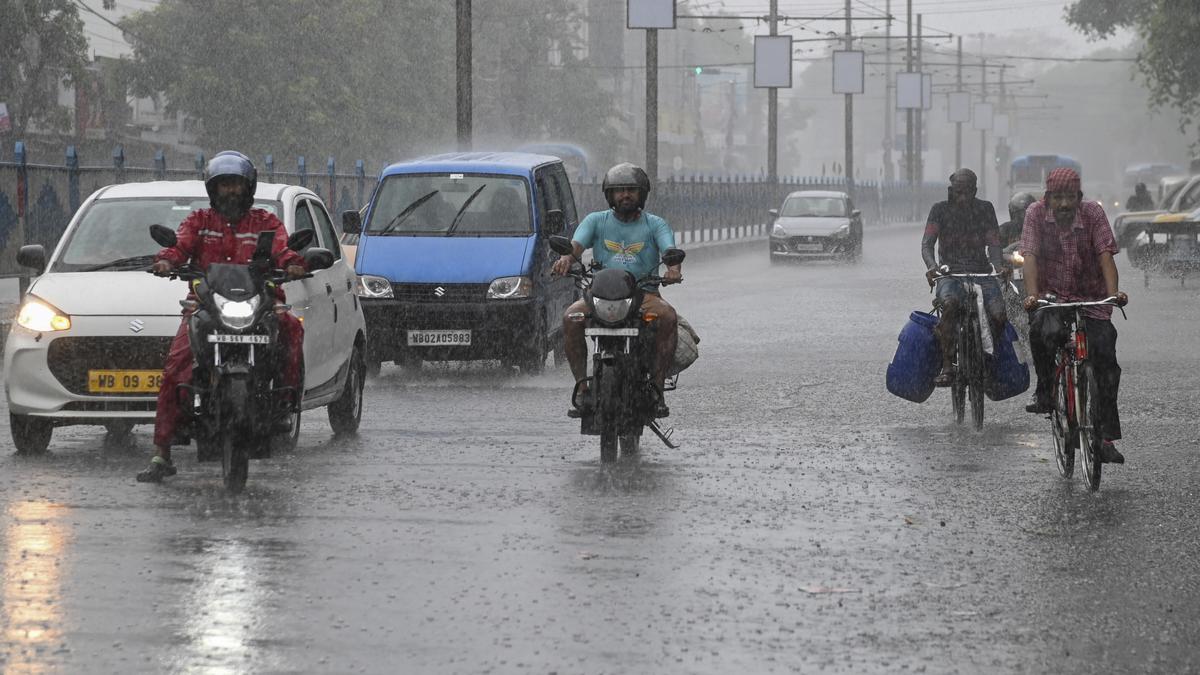
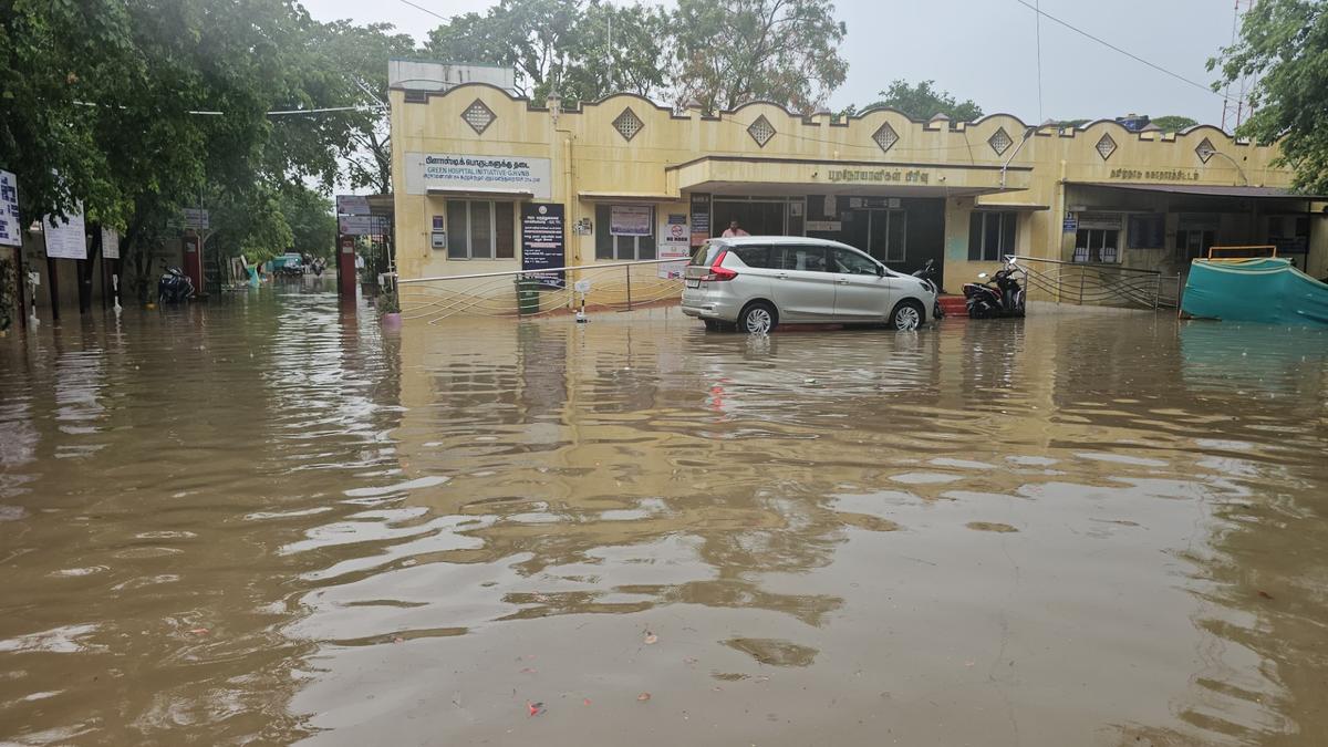
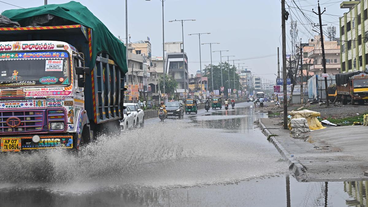
Meanwhile on Tuesday, rainfall occurred at a few places over northern Tamil Nadu and at many places over southern parts of the State. Dry weather prevailed over Puducherry and Karaikal area. From 8.30 a.m. on Tuesday till 5.30 p.m, several stations recorded rain. Tiruttani received 56 mm of rain, Tiruttani ISRO station 55.5 mm, R.K.Pet in Tiruvallur 43 mm, Salem 21 mm, Chembarambakkam 20.5 mm, Dharmapuri 19 mm, Kalavai in Ranipet district 18.5 mm, Mamallapuram 13.5 mm, Virinjipuram KVK in Vellore district 10.5 mm, Tiruvannamalai 7.5 mm, Poonamallee 5 mm, Hindustan University 4.5 mm, VIT Chennai campus 4 mm, Yercaud 3.5 mm, Coonoor 3 mm, Meenambakkam and Nungambakkam stations in Chennai recorded traces of rain.
The upper air cyclonic circulation over west-central Bay of Bengal and adjoining southwest Bay of Bengal now lies over west-central Bay of Bengal adjoining south Andhra Pradesh and north Tamil Nadu and extends up to 1.5 km above mean sea level tilting south-west wards. Light to moderate rain is likely to occur over isolated places in Tamil Nadu, Puducherry and Karaikal area till May 26. It may be accompanied with thunder and lightning in one or two areas. There will be a gradual rise in maximum temperature by 2-3 degree Celsius at a few pockets till Saturday over Tamil Nadu, Puducherry and Karaikal area.
Published – May 21, 2025 01:04 am IST