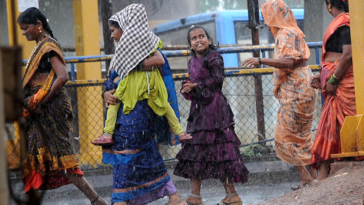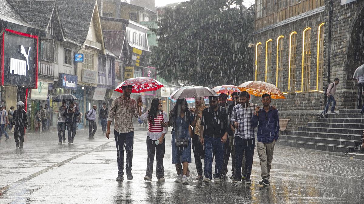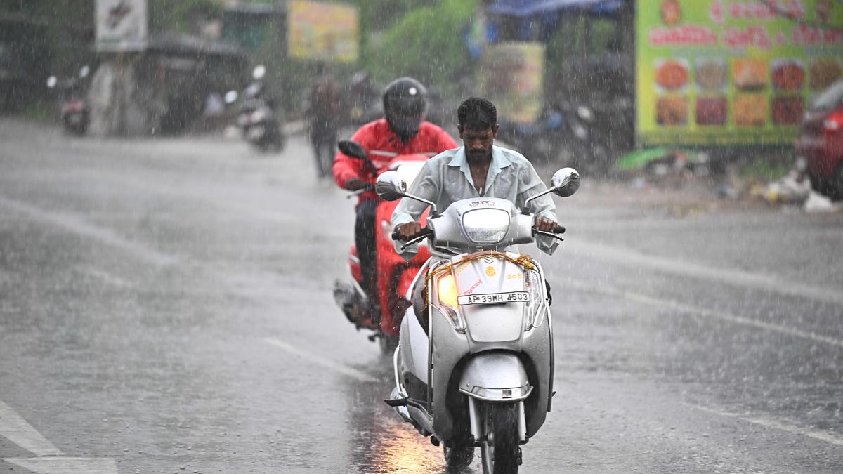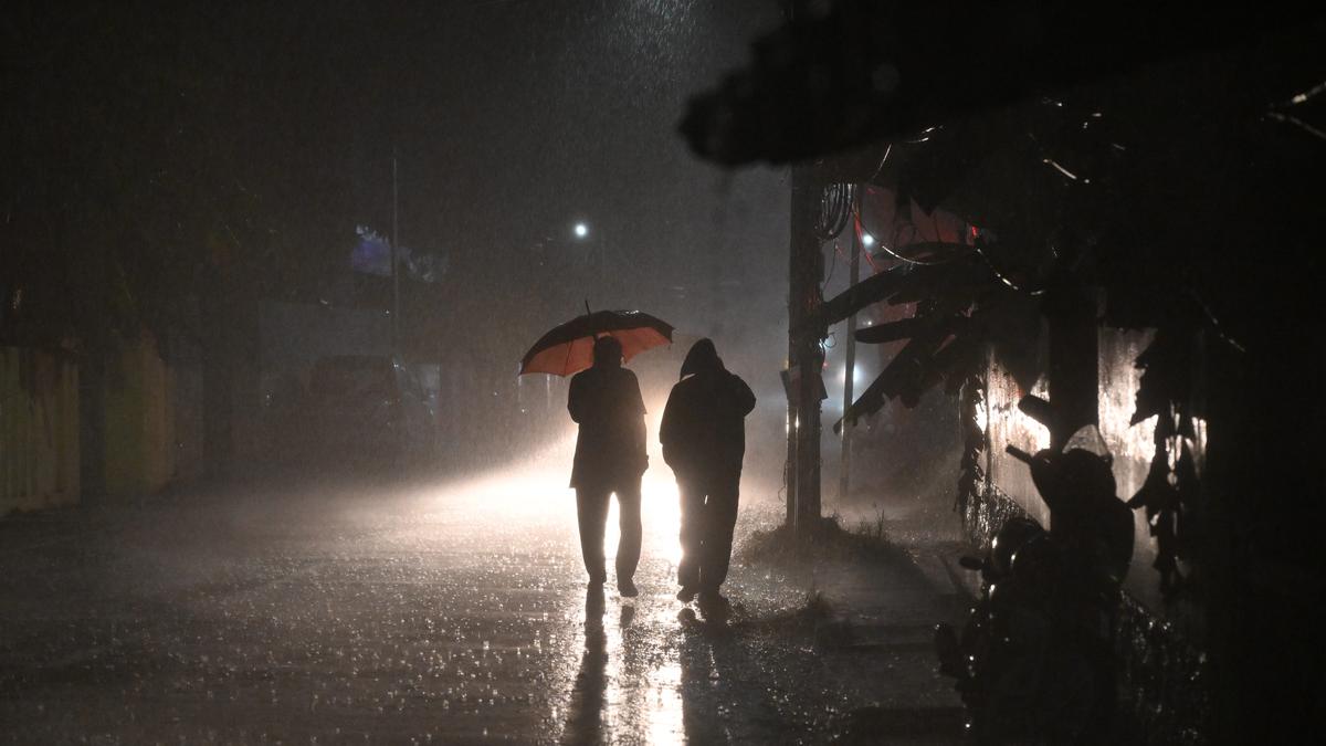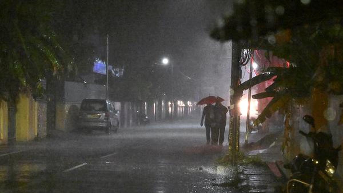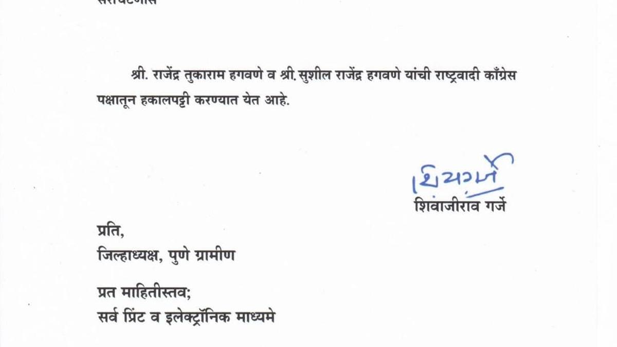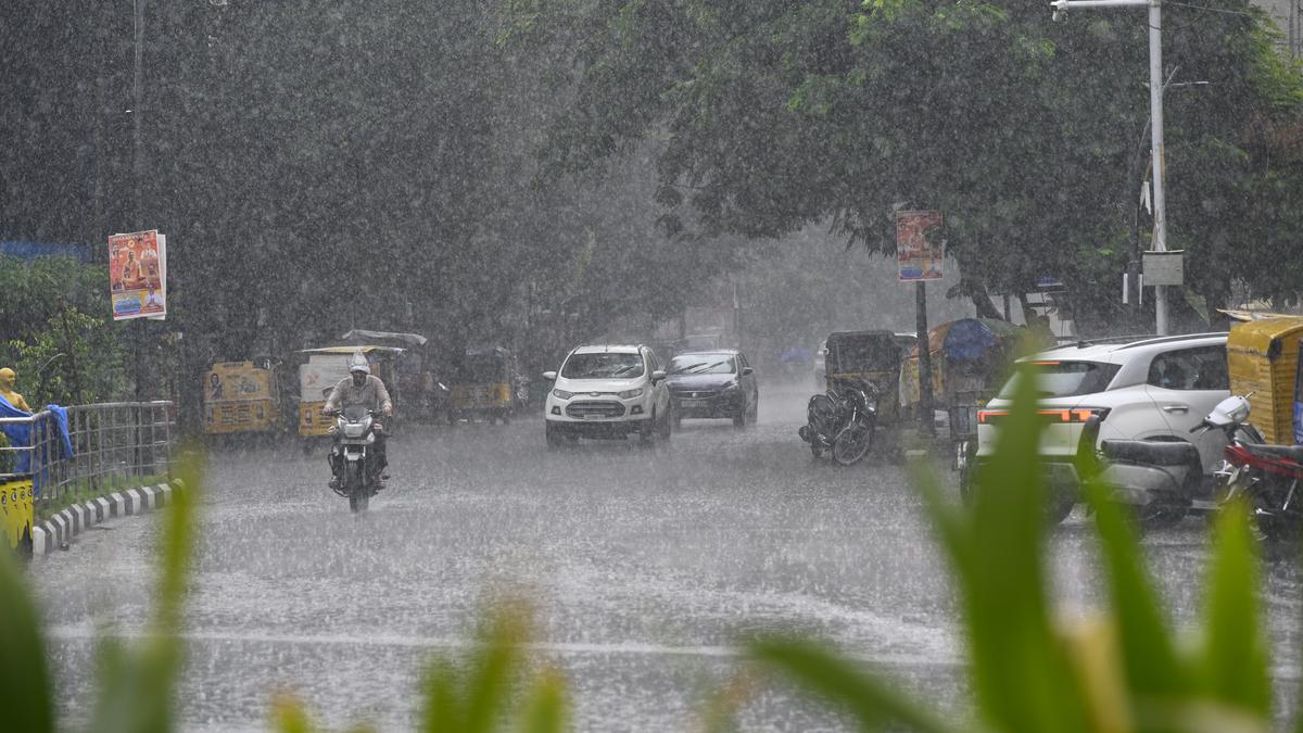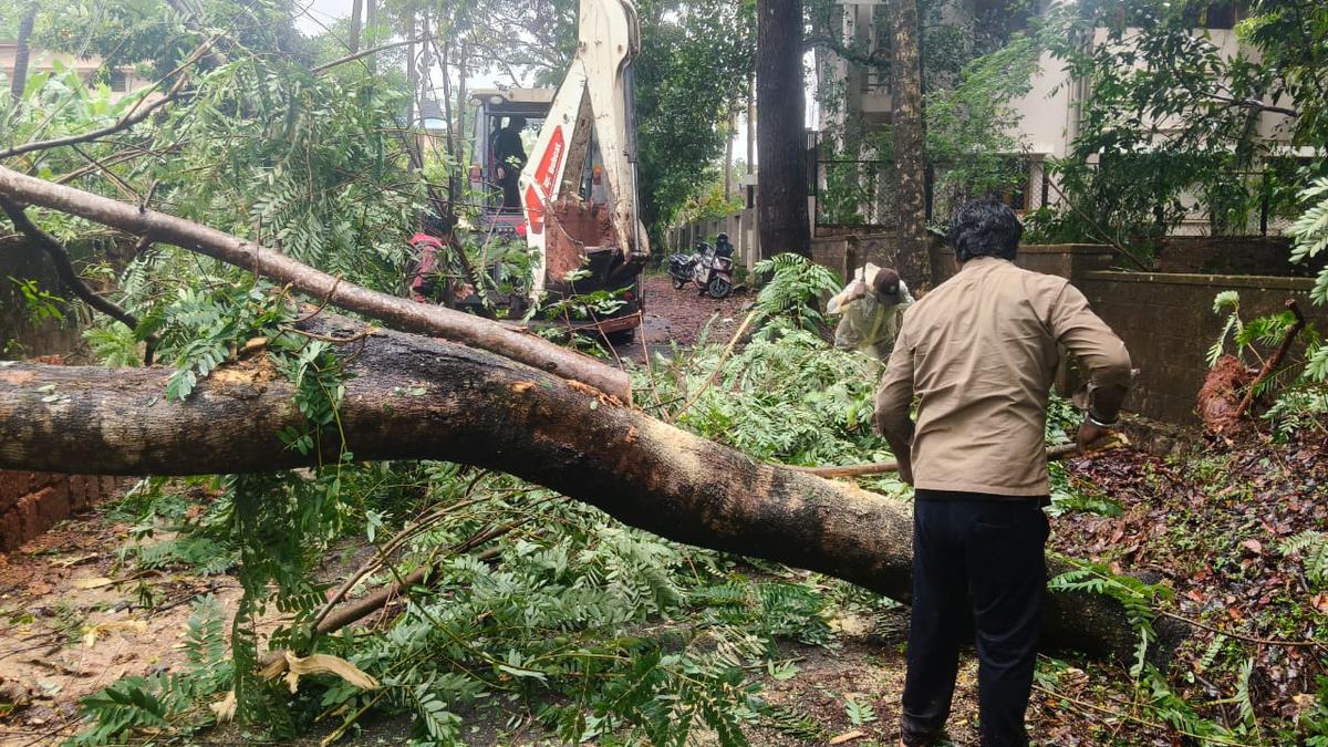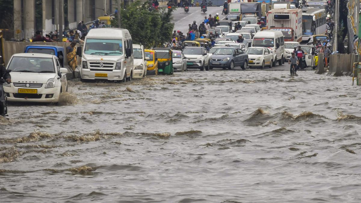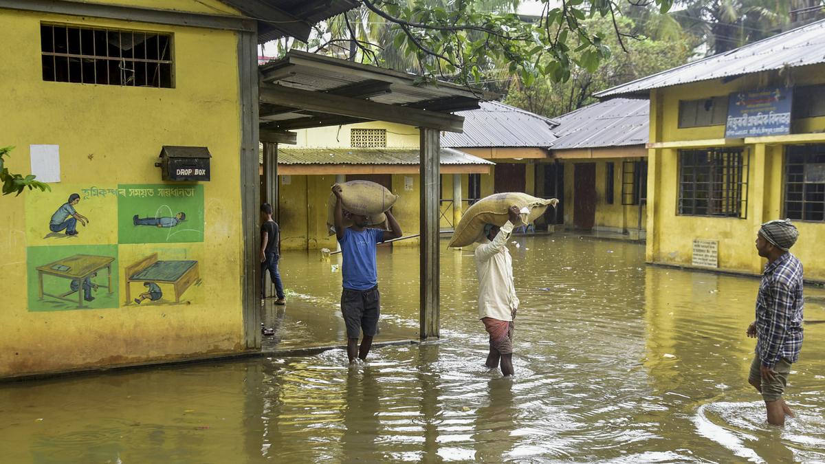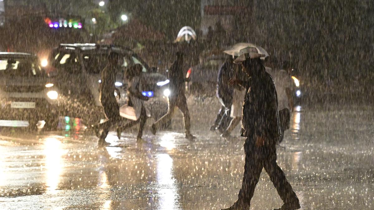

The government will on Monday (May 26, 2025) unveil a new ‘Bharat Forecasting System’ that will enable the weather office to provide more accurate and localised predictions.
Developed by Pune-based Indian Institute of Tropical Meteorology (IITM), Bharat Forecasting System (BFS) will provide forecasts with a 6 km resolution — the highest in the world — that would allow forecasters to predict small-scale weather features more accurately.
“We will now be able to issue more localised and accurate weather forecasts,” M. Ravichandran, Secretary, Ministry of Earth Sciences, told PTI.
The new forecasting model, developed by researchers, including Parthasarathy Mukhopadhayay, was made possible due to installation of the new supercomputer Arka at the IITM campus last year with a capacity of 11.77 petaflops (a unit to measure computer processing speed)and storage capacity of 33 petabytes (a petabyte is 1,000 terabytes (TB)).
“The previous supercomputer ‘Pratyush’ used to take up to 10 hours to run the forecasting model. Arka performs the same data-crunching within four hours,” Mr. Mukhopadhyay told PTI.
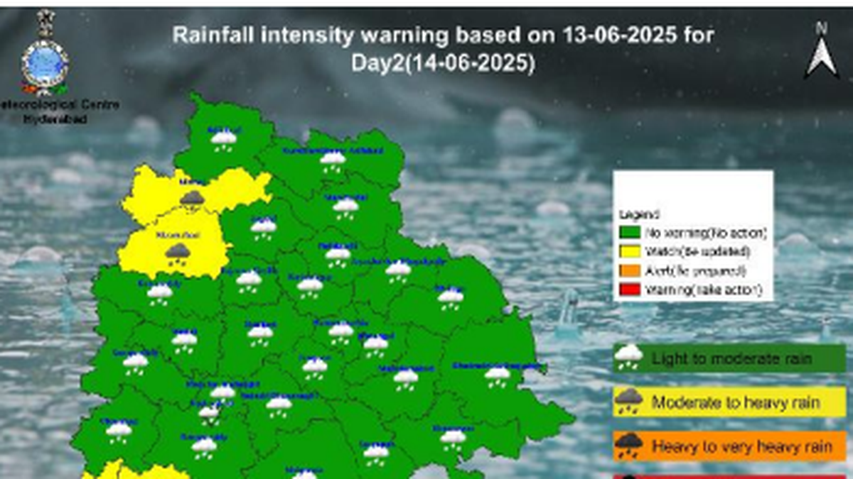
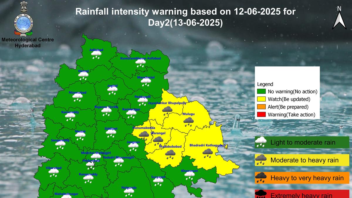
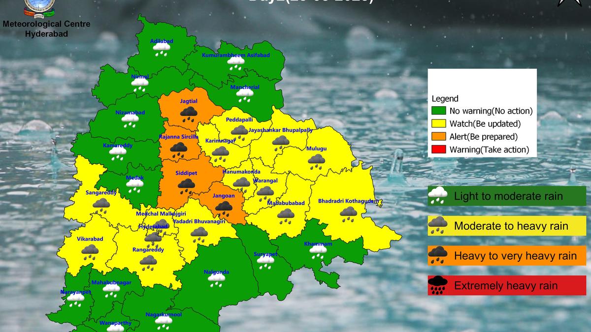
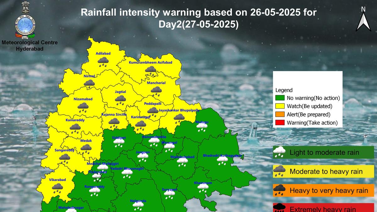
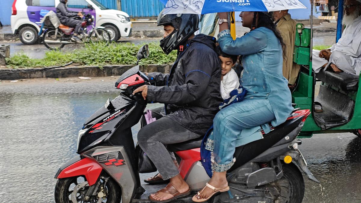
Mr. Ravichandran said BFS provides insight into weather events likely to take place in a grid of 6 km by 6 km against the earlier models that gave predictions for a 12 km grid.
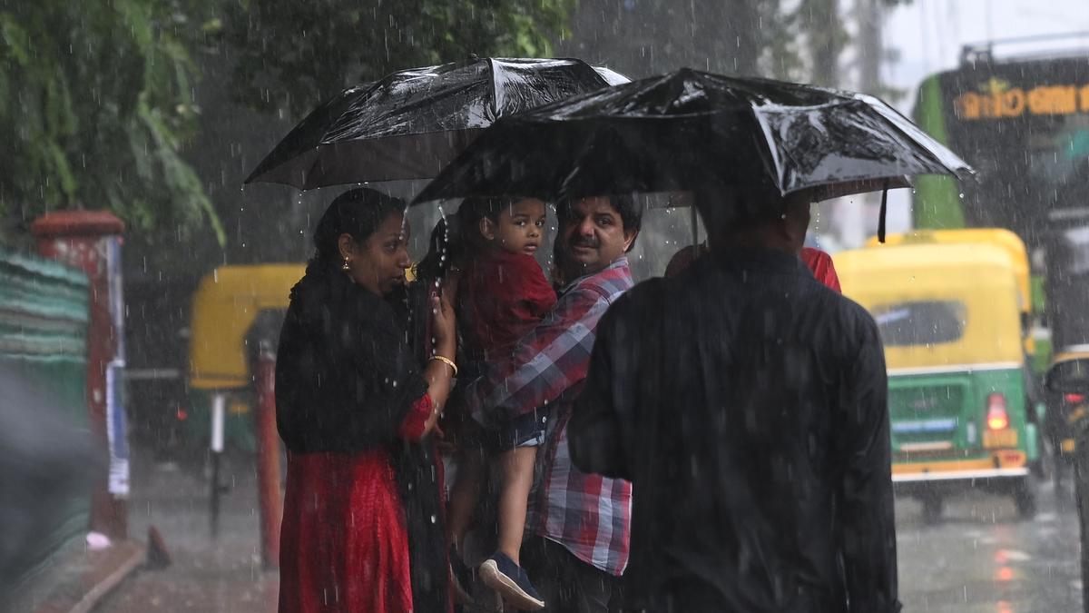
He said data from a network of 40 Doppler Weather Radars from across the country will be used to run the BFS model that would enable the weather office to issue more localised forecasts as well as nowcasts — weather forecasts for the next two hours.
Gradually, the number of Doppler radars will increase to 100, which would allow the weather office to issue nowcasts across the country.
BFS can provide 6 km resolution forecasts for the tropical region that falls between 30 degrees South and 30 degrees North latitudes. The Indian mainland extends between 8.4 degrees North and 37.6 degrees North latitudes.
According to Mr. Ravichandran, the global forecast models run by the European, British and U.S. weather offices have a resolution between 9 km and 14 km.
Union Earth Sciences Minister Jitendra Singh is scheduled to dedicate BFS to the nation at a special function here on Monday (May 26, 2025).
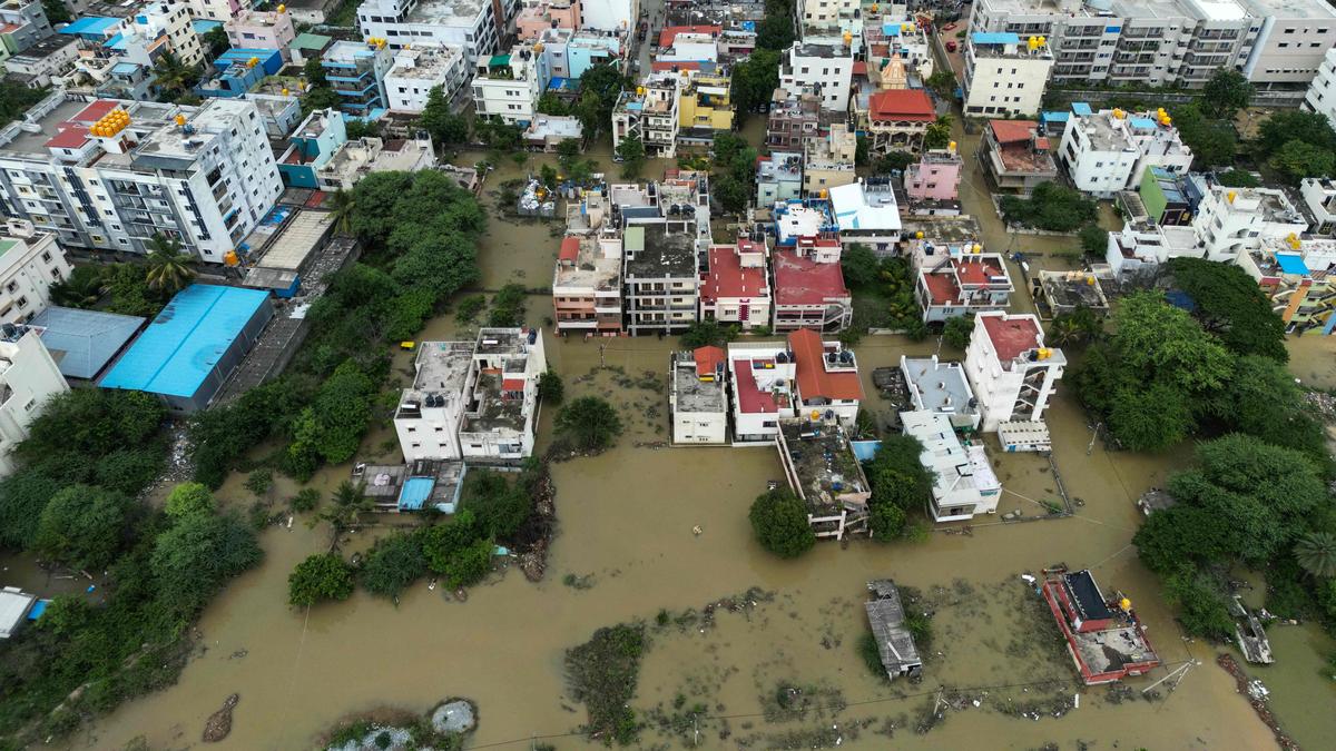
“This significant milestone represents a major leap in India’s self-reliance in meteorological sciences, enabling more accurate and granular weather forecasts up to panchayat level for disaster risk reduction, agriculture, water resource management and public safety,” a senior official from the Earth Sciences Ministry said.
Published – May 25, 2025 11:31 pm IST