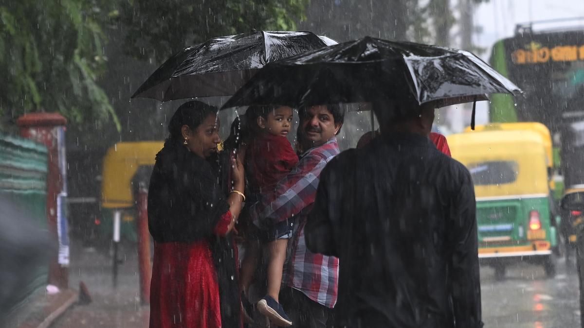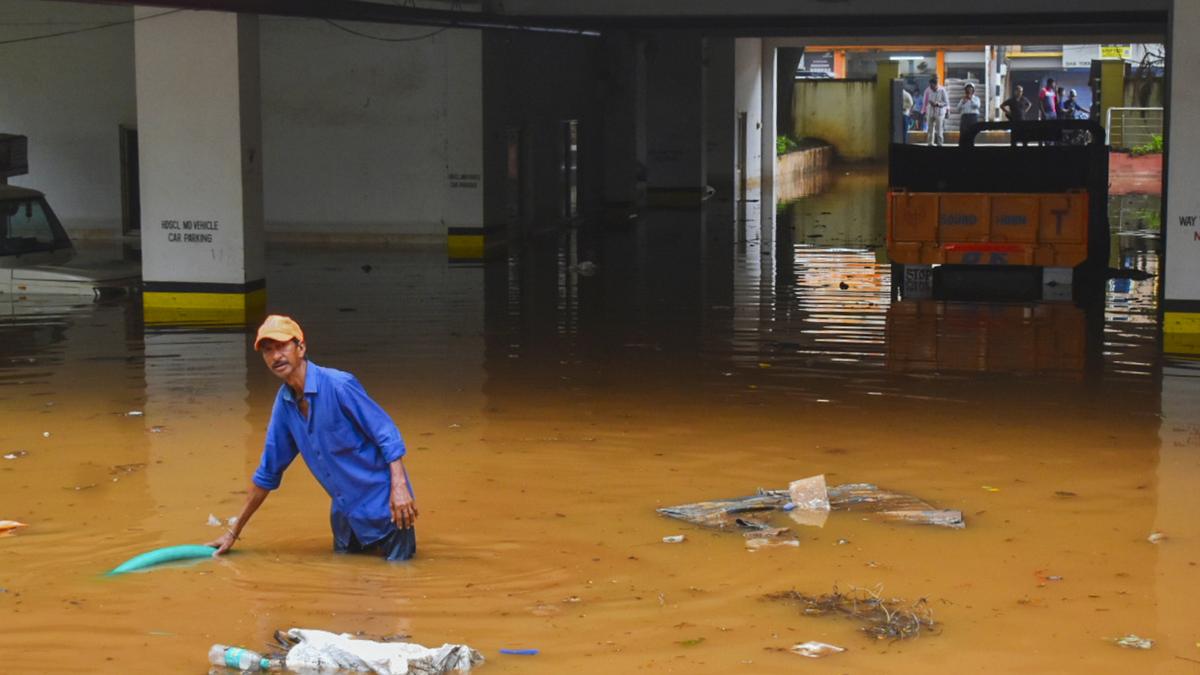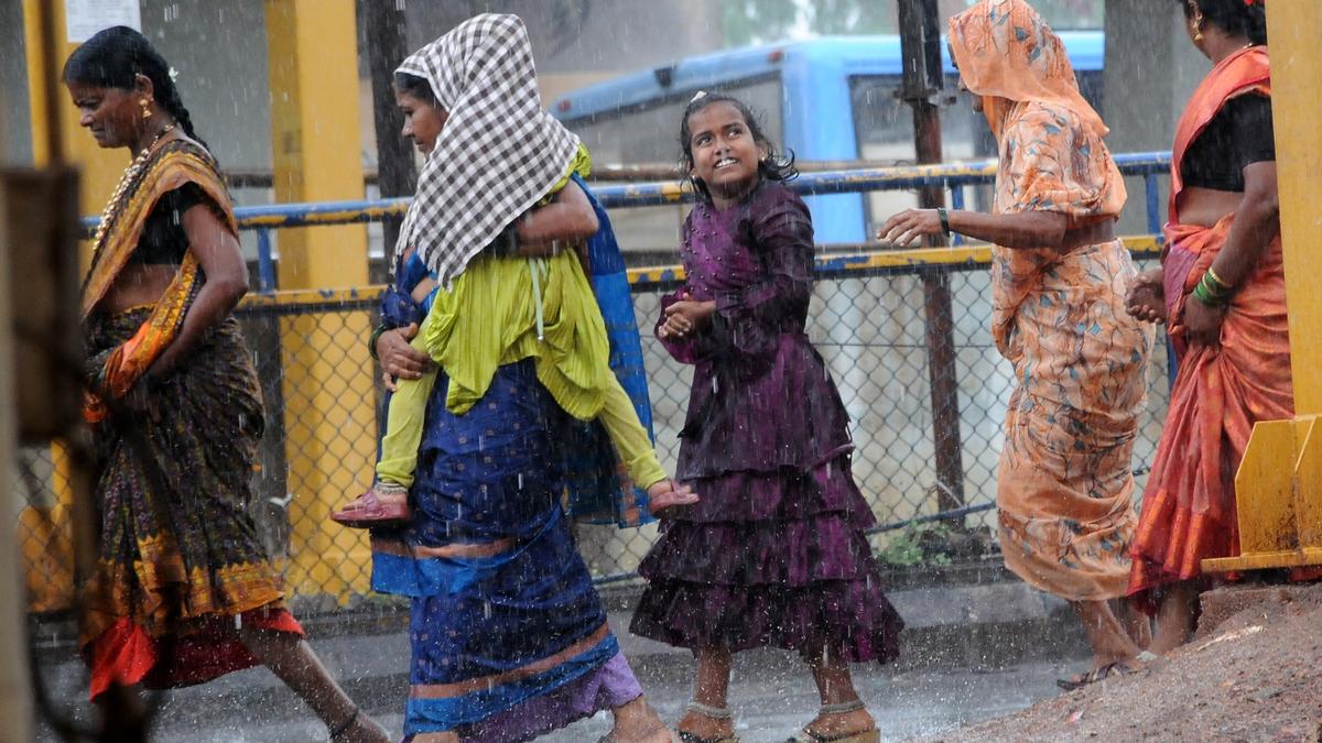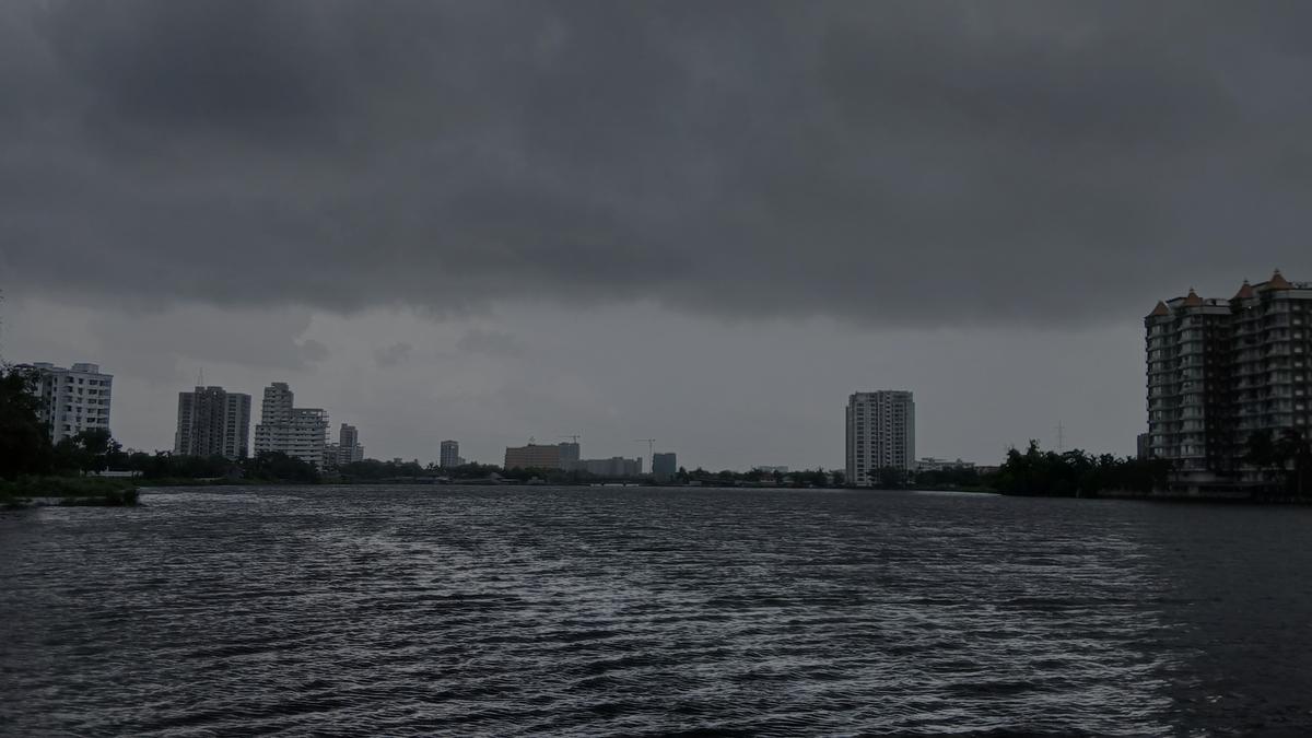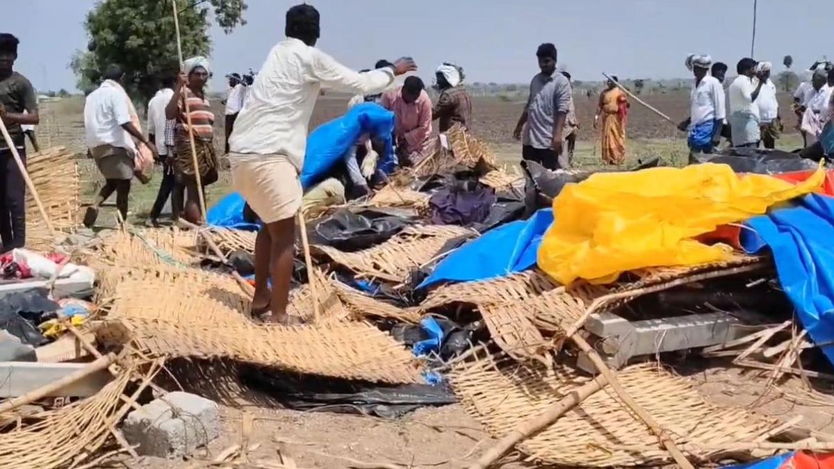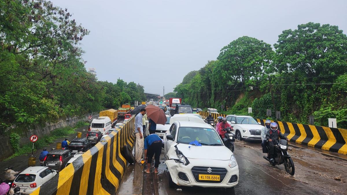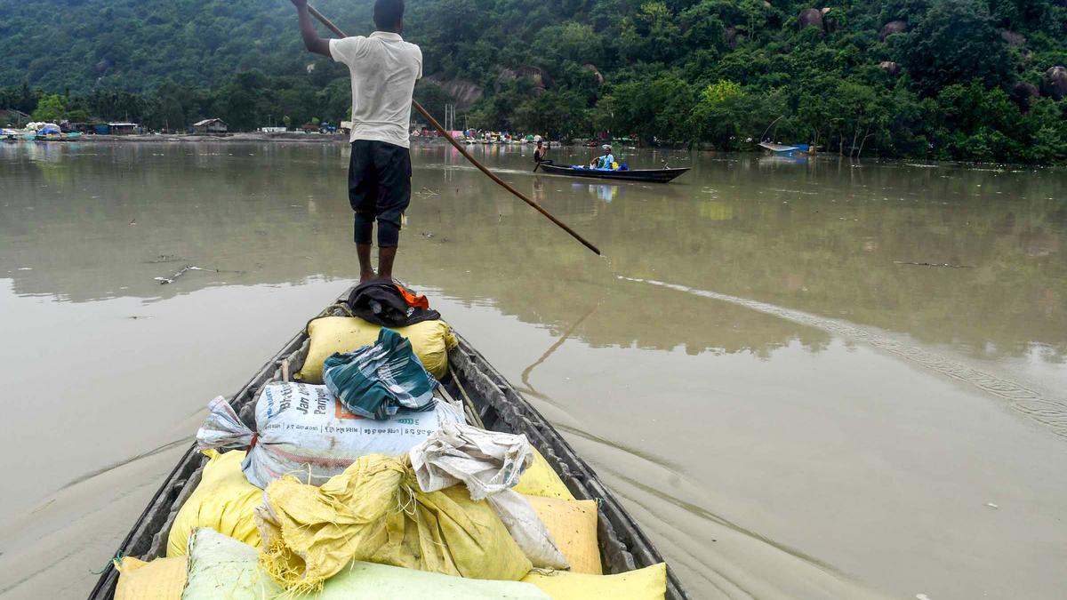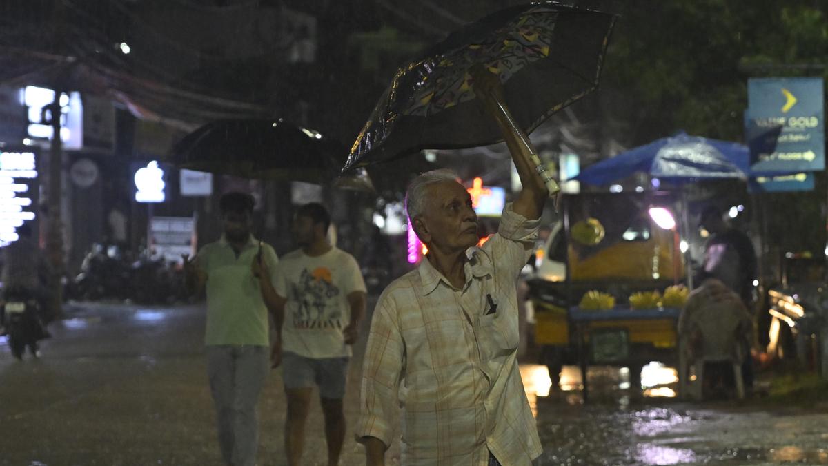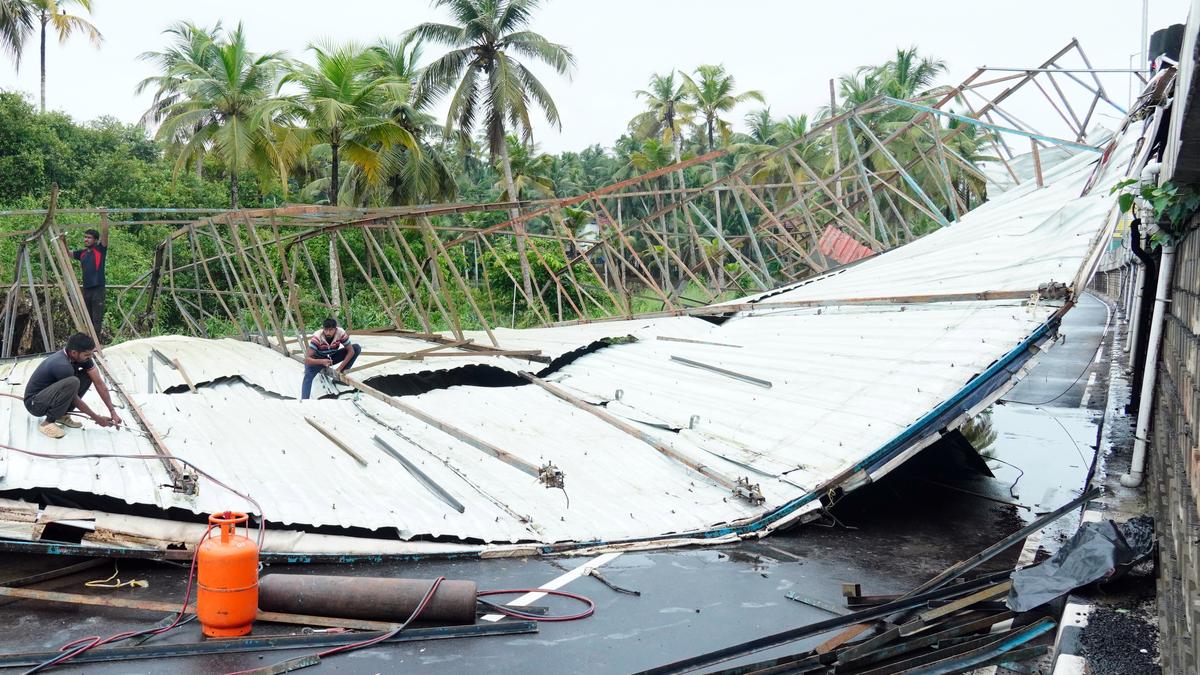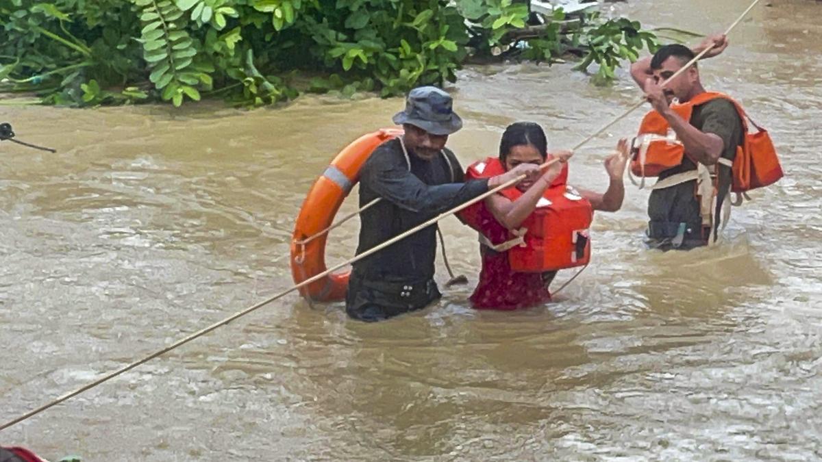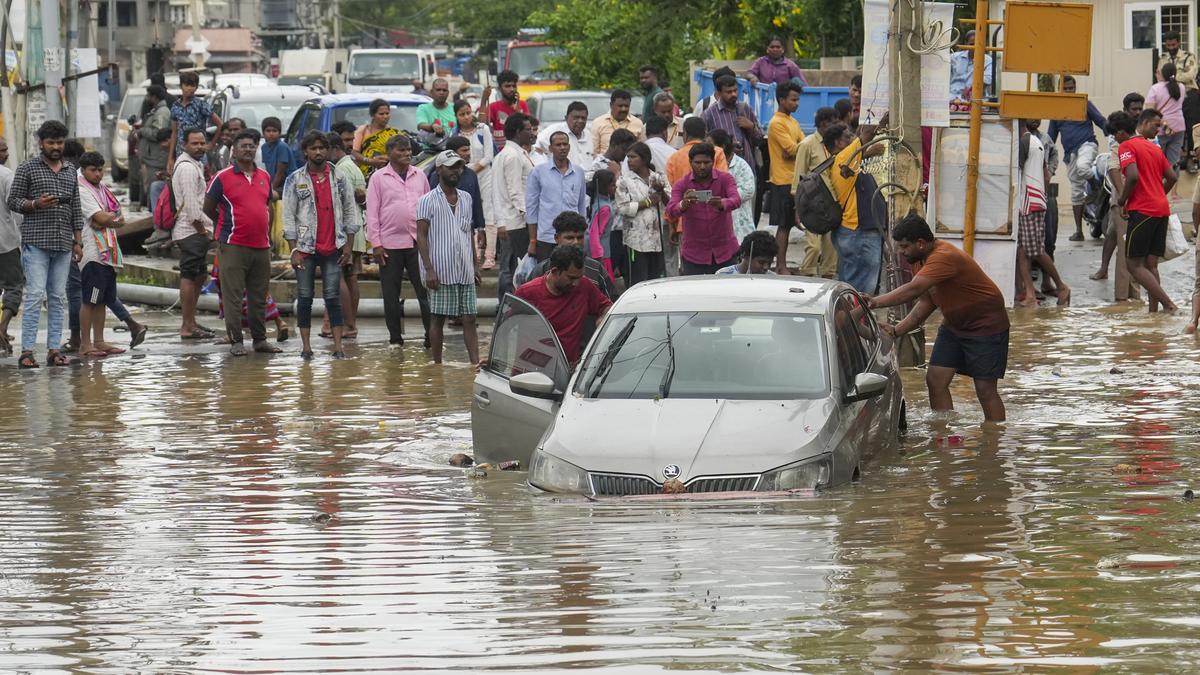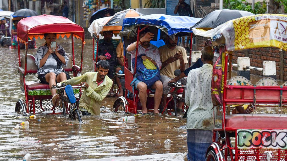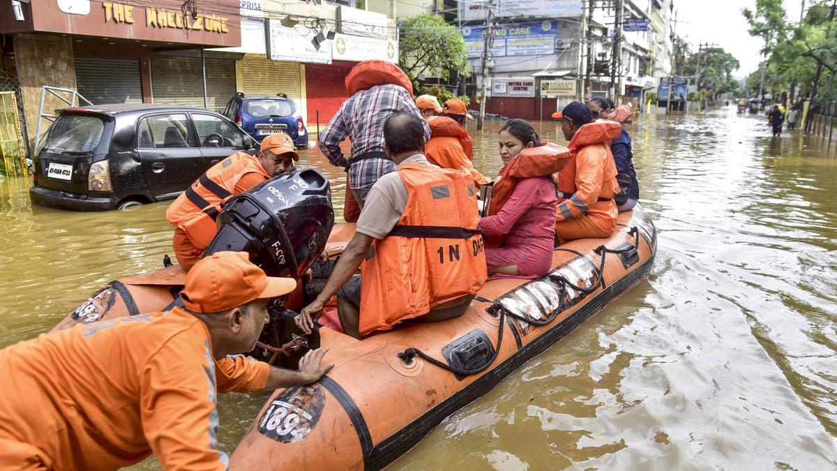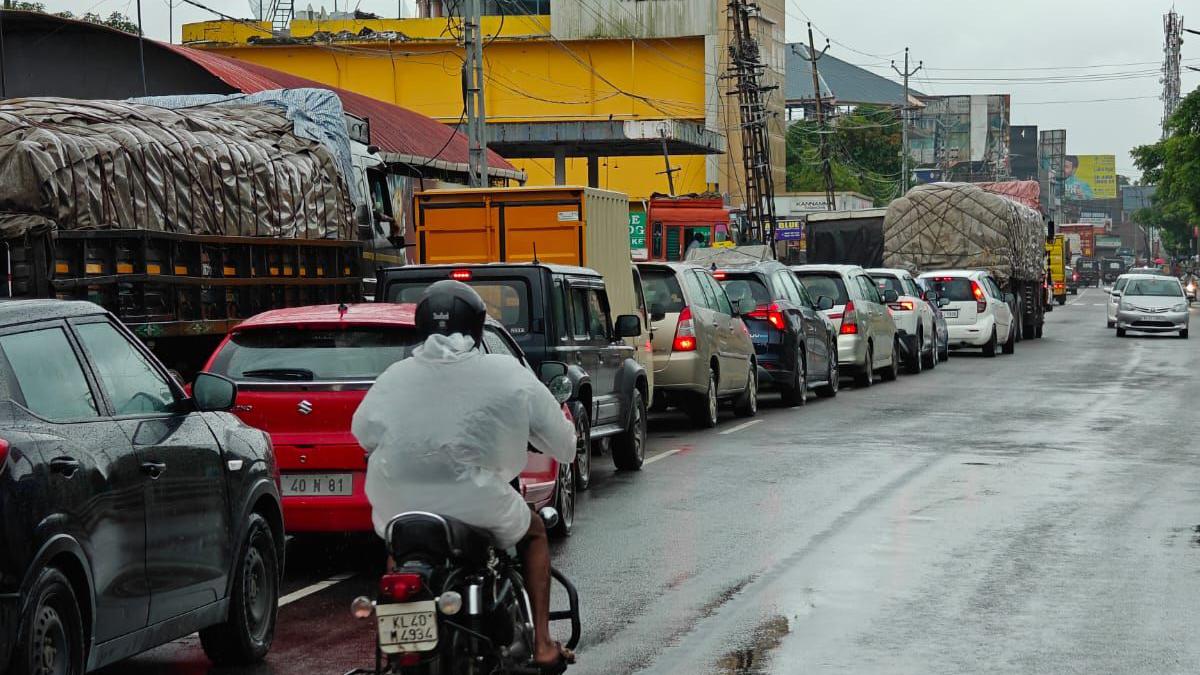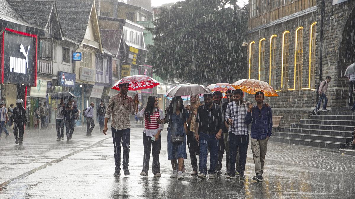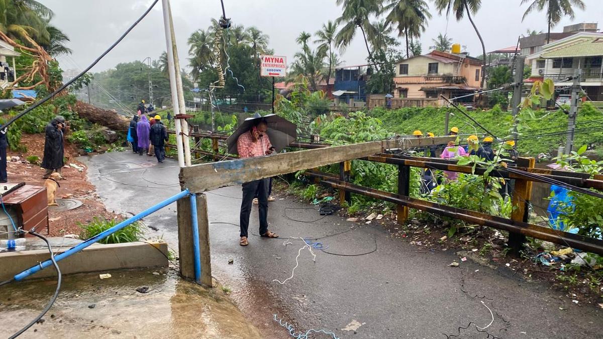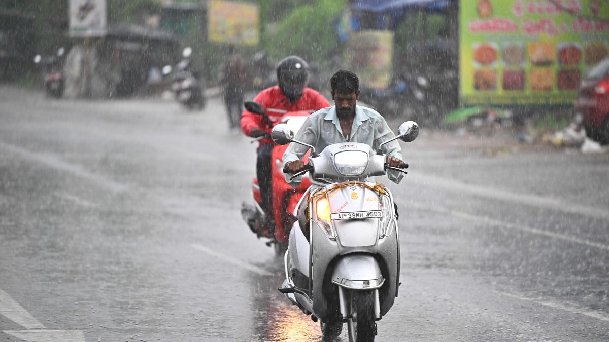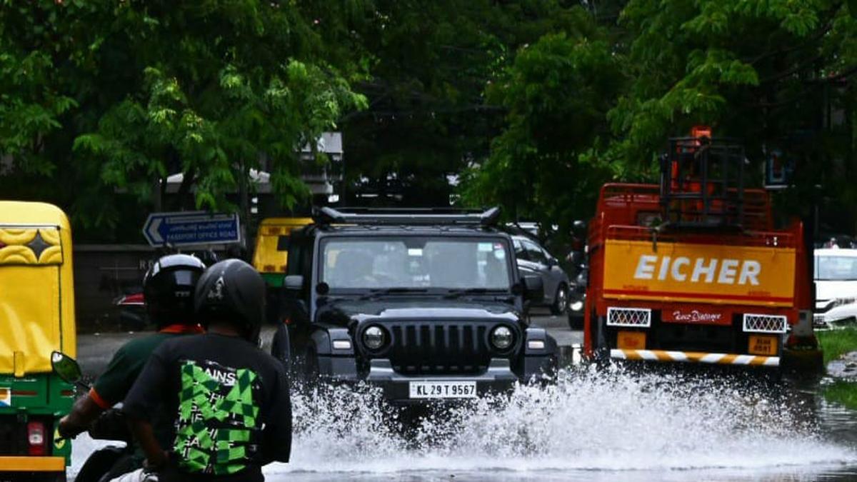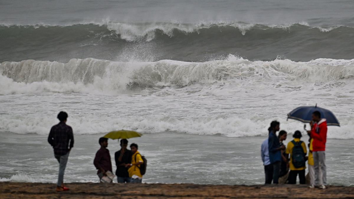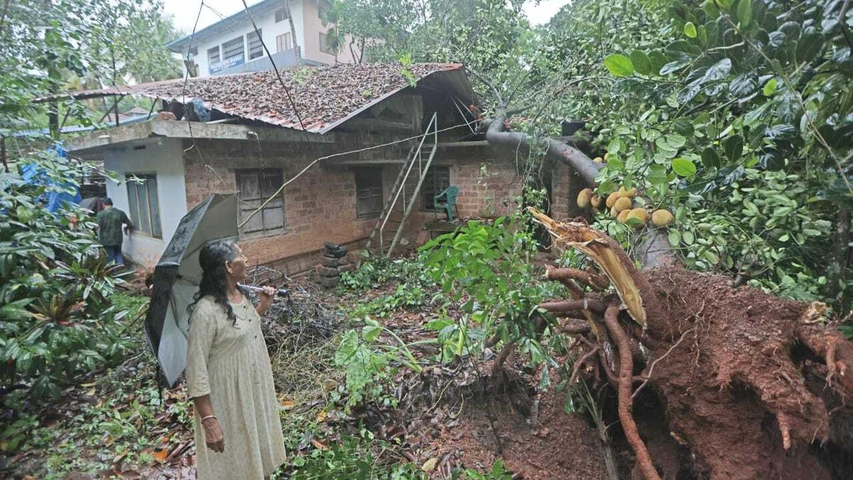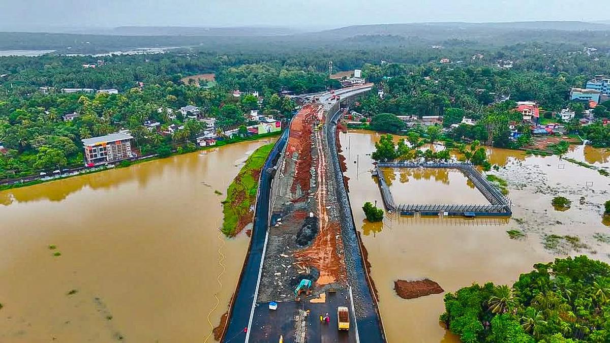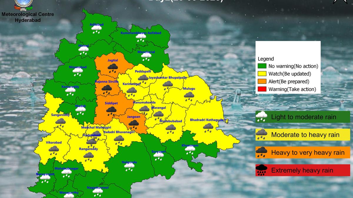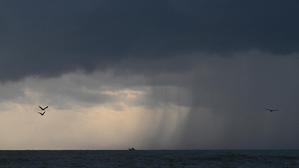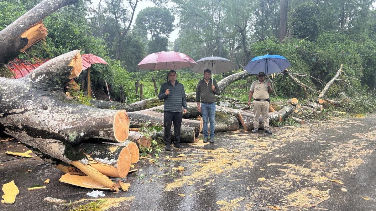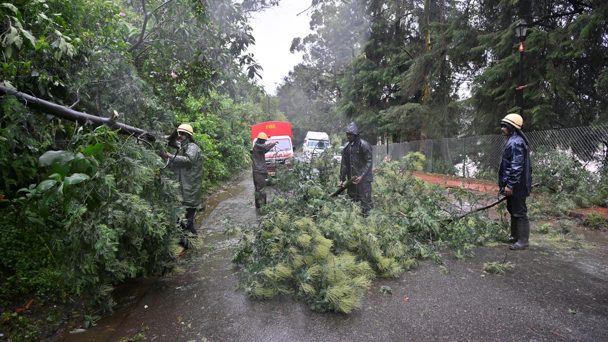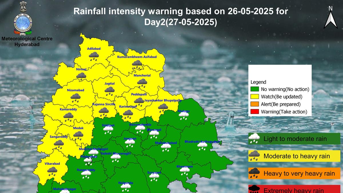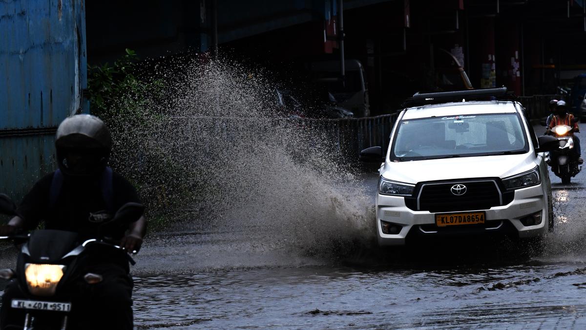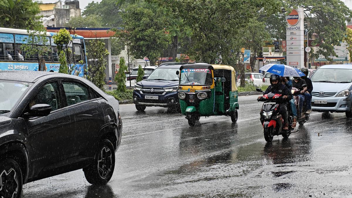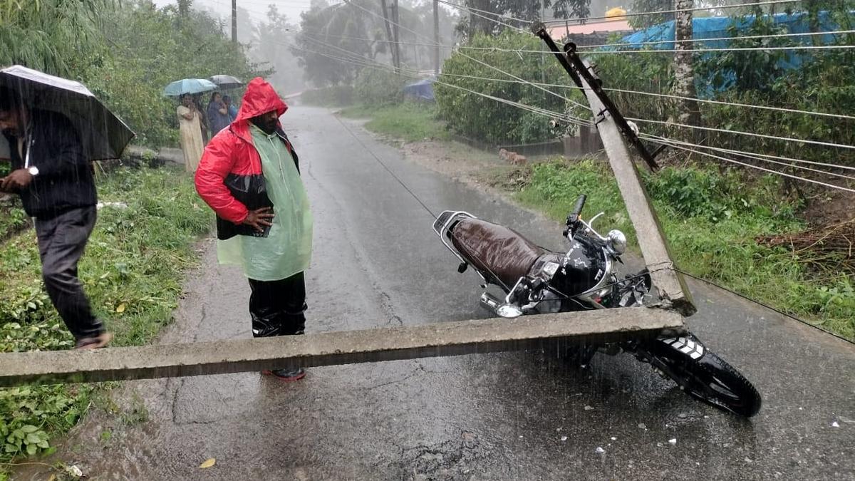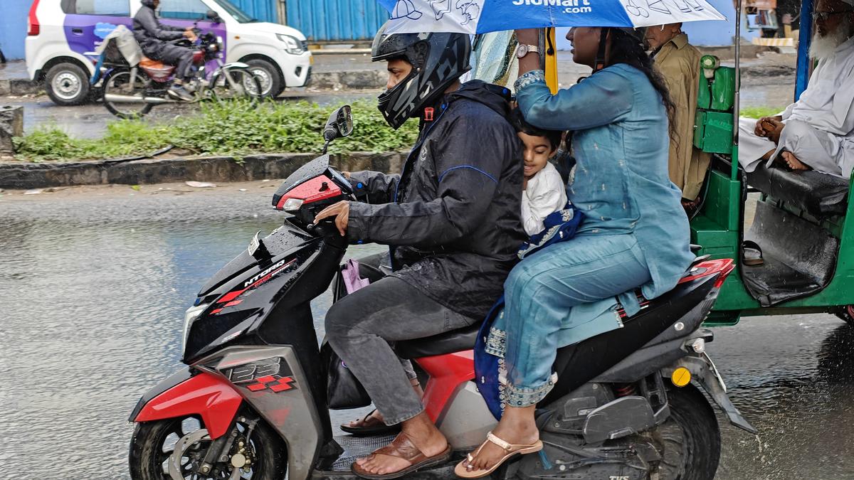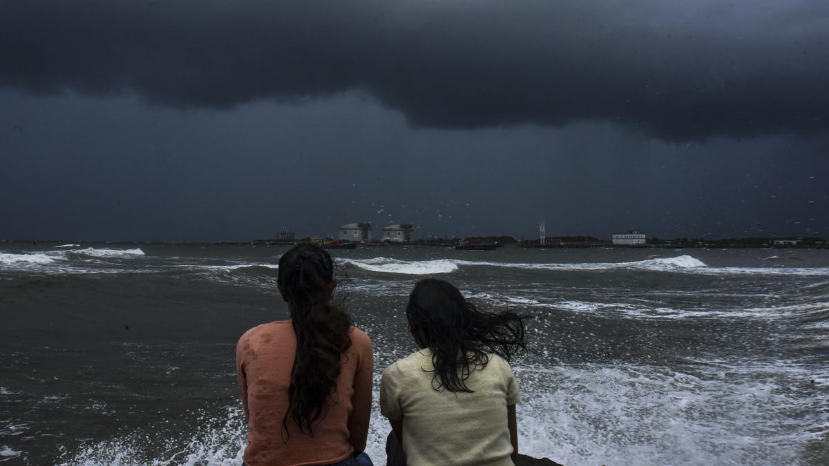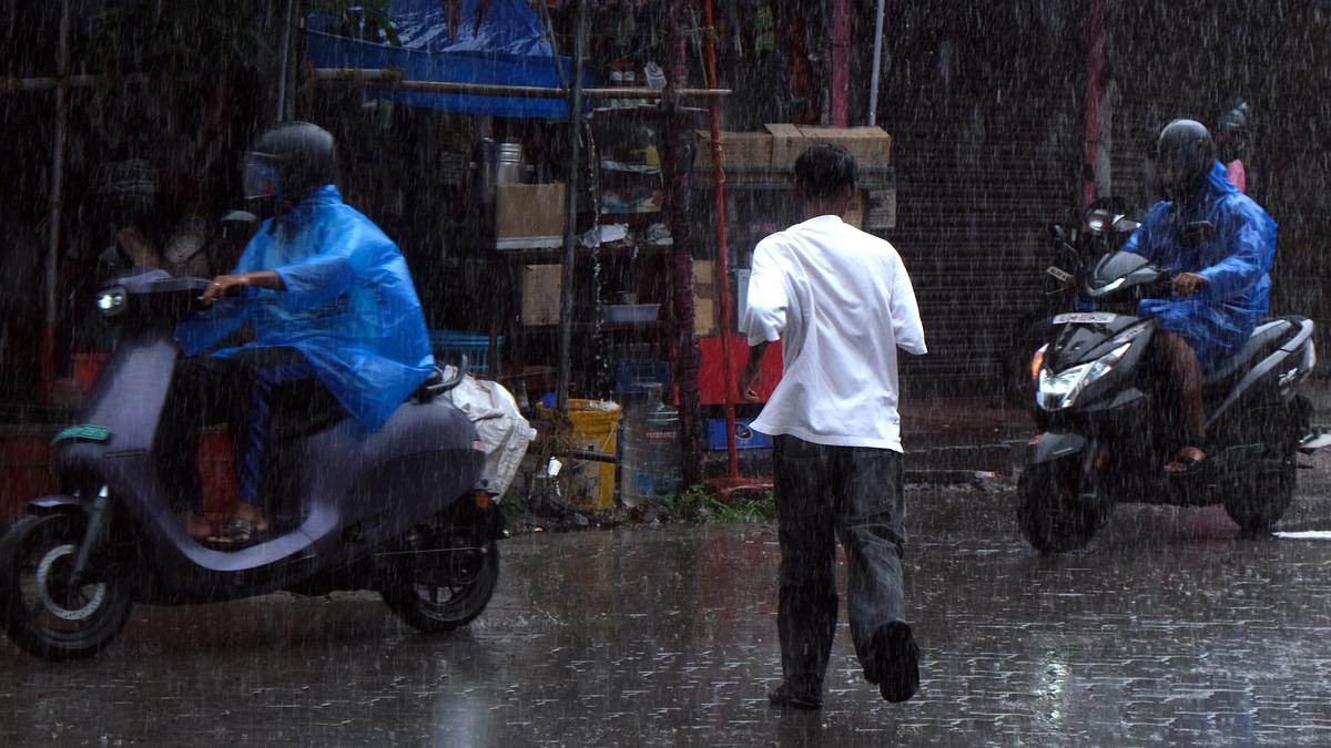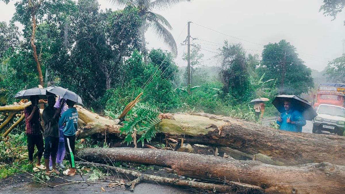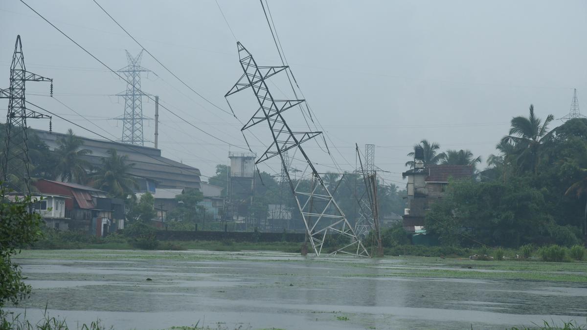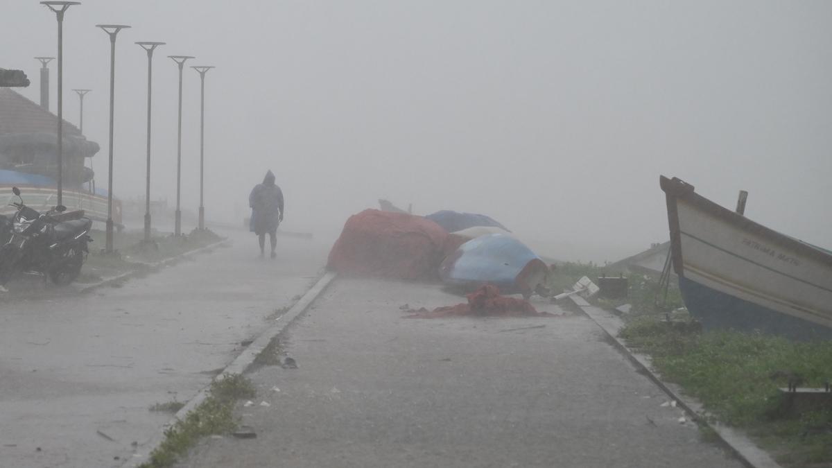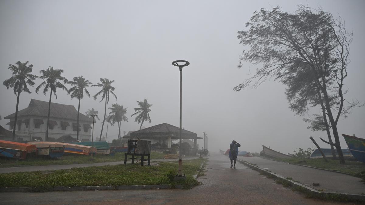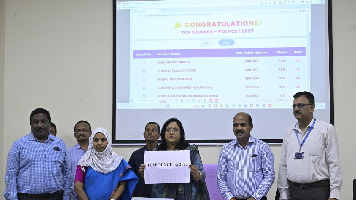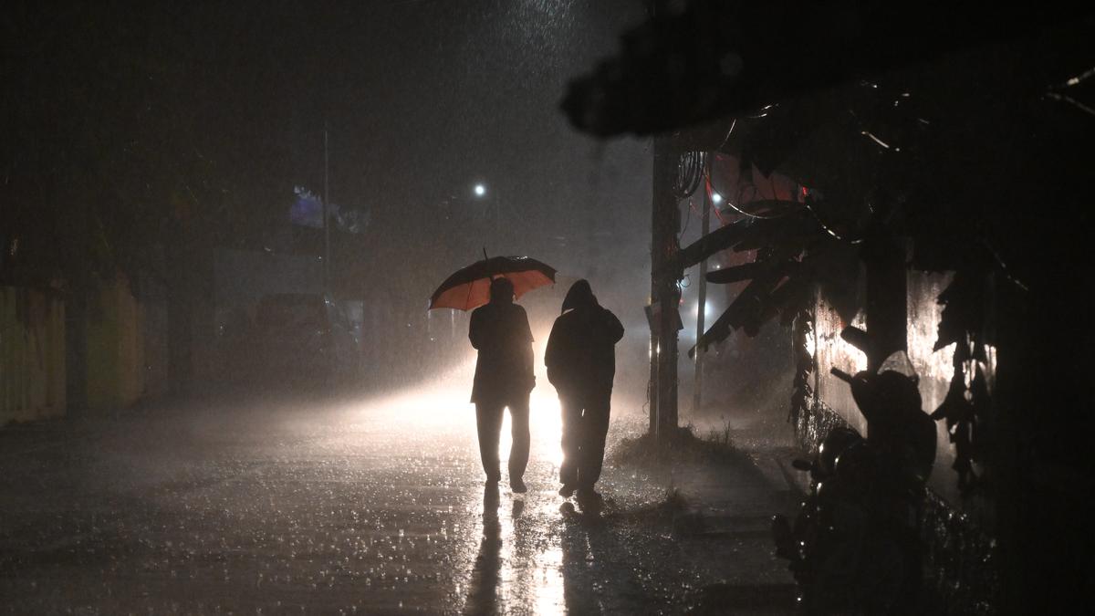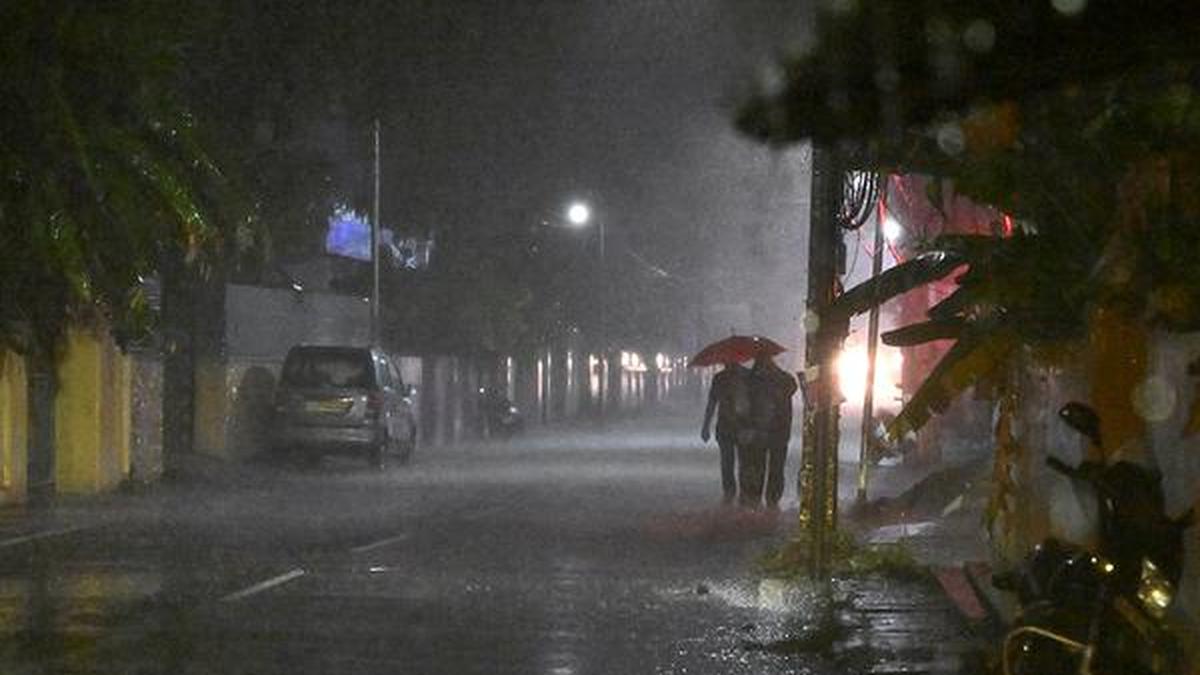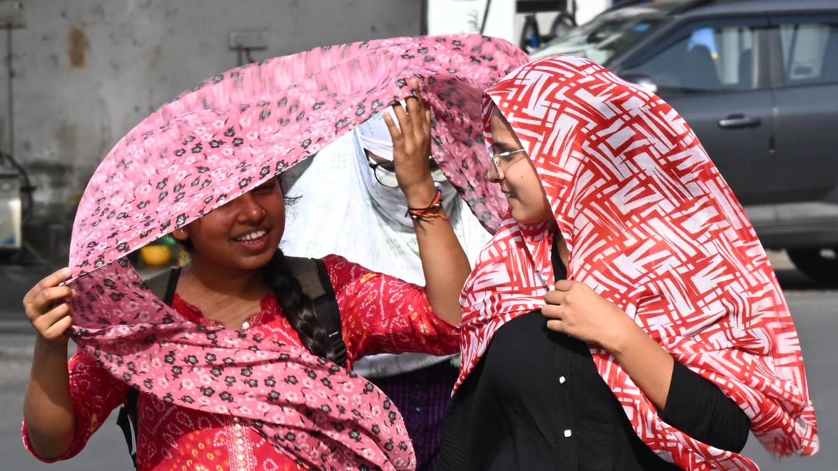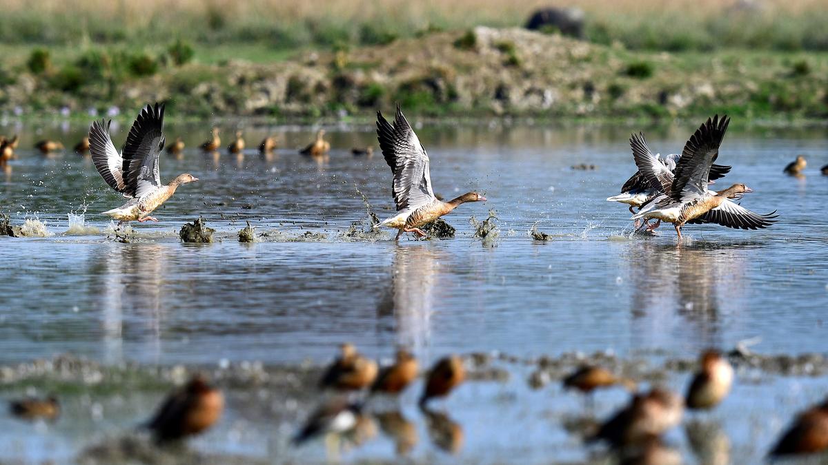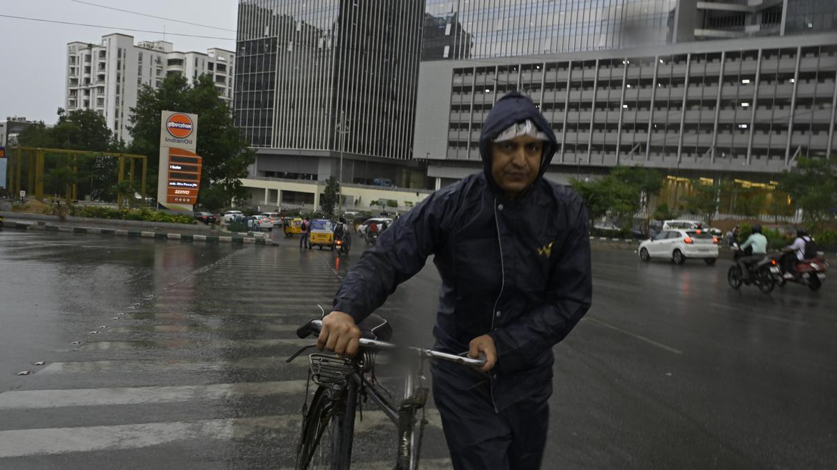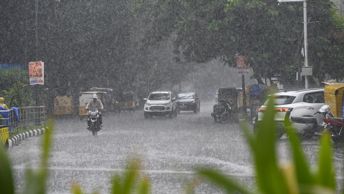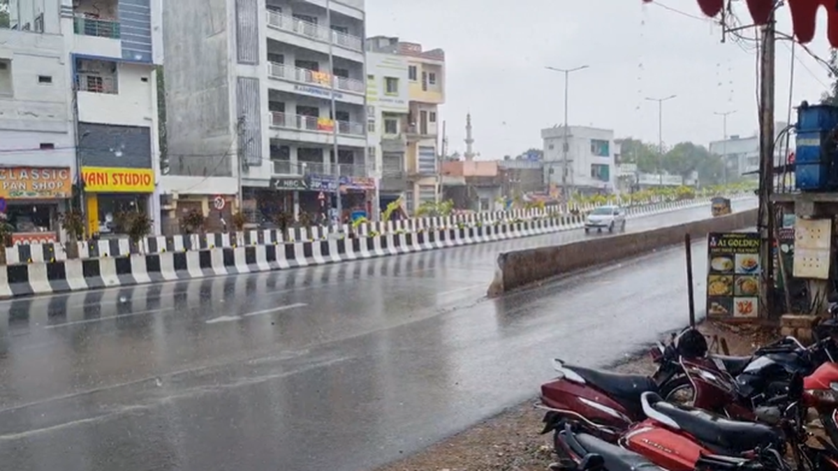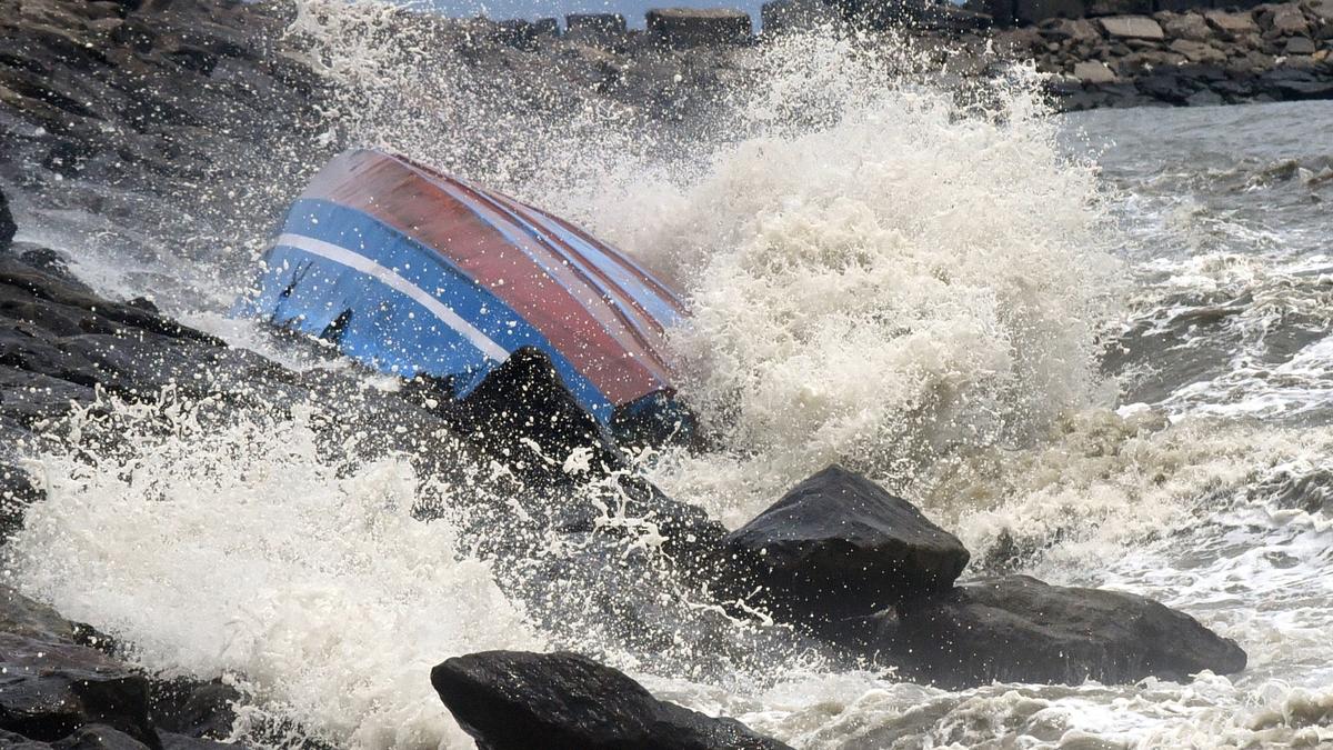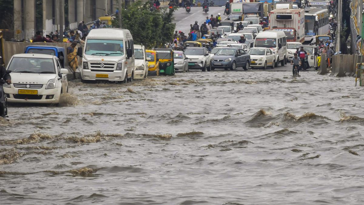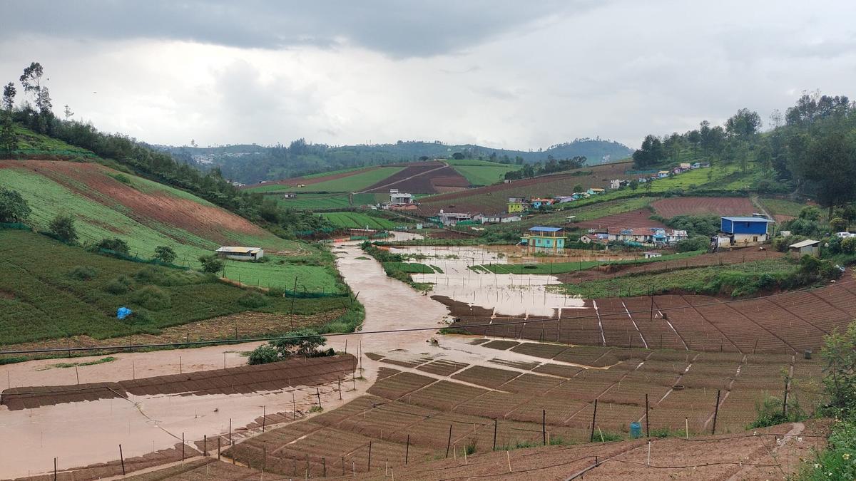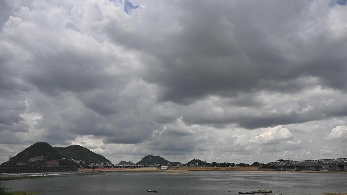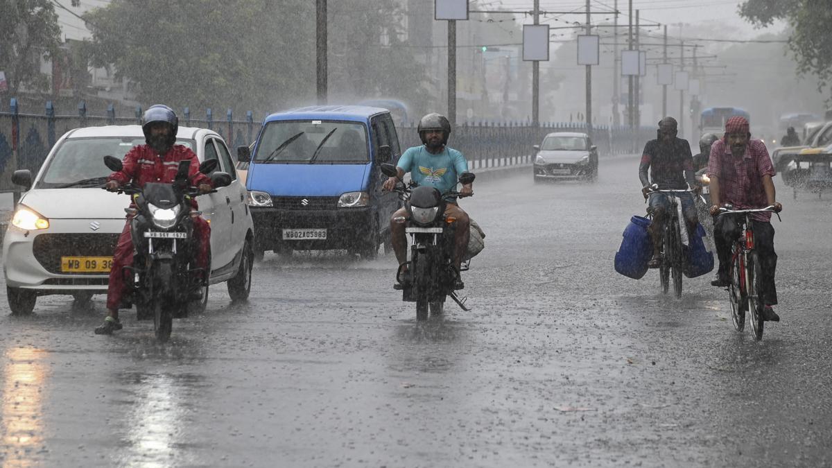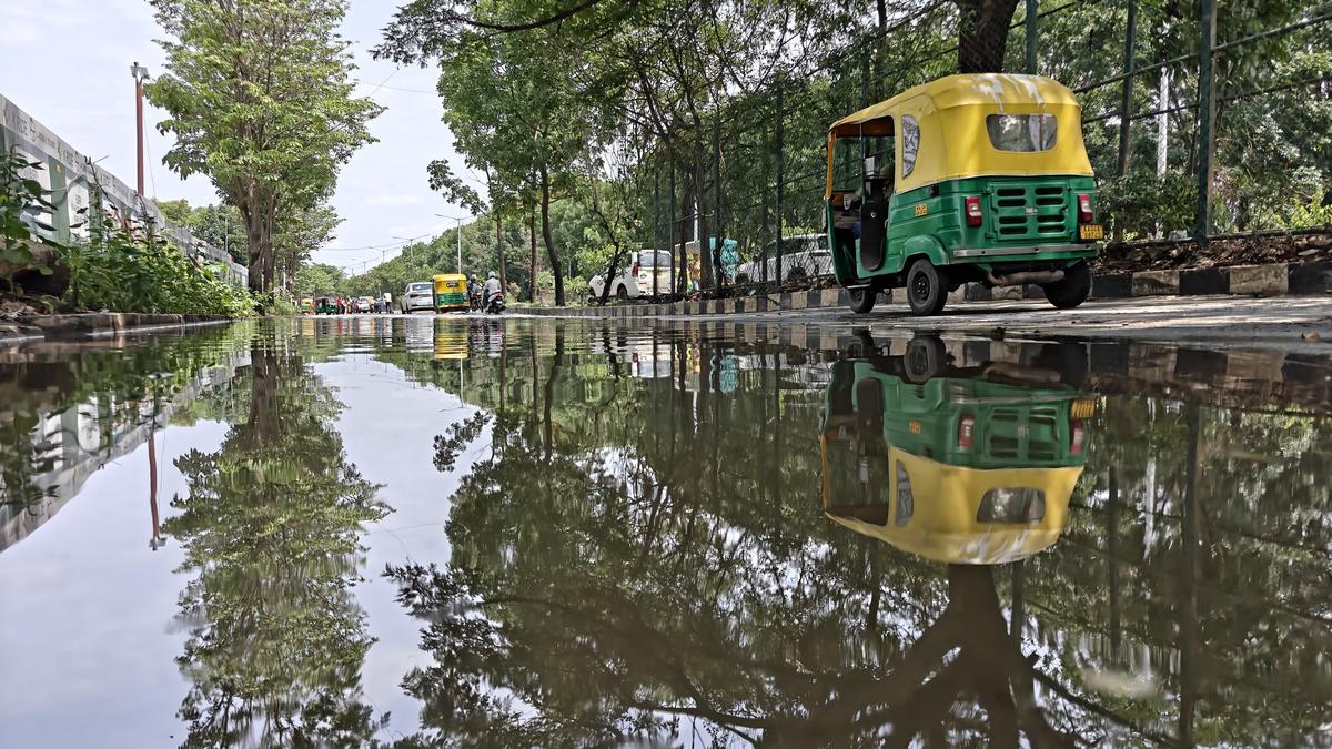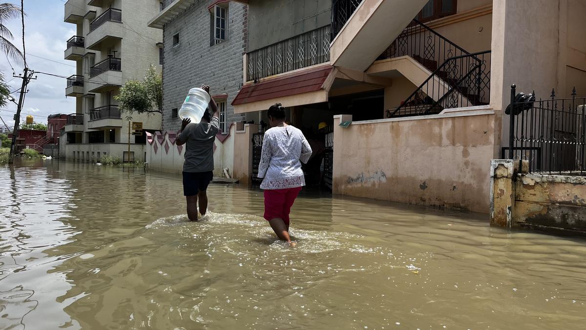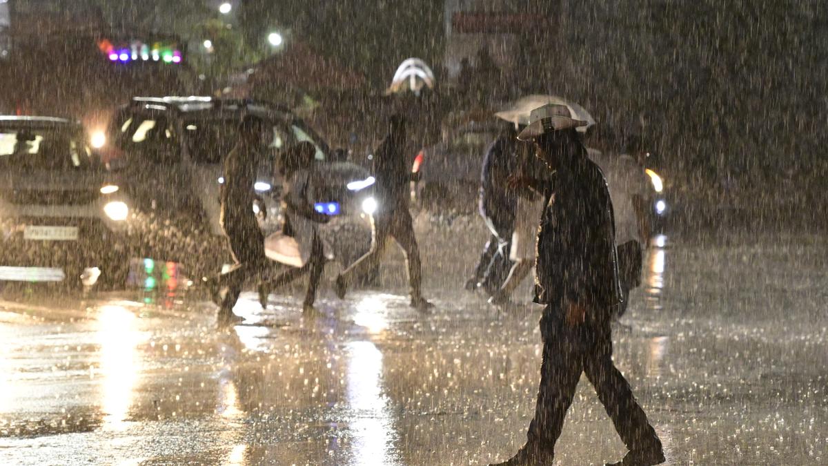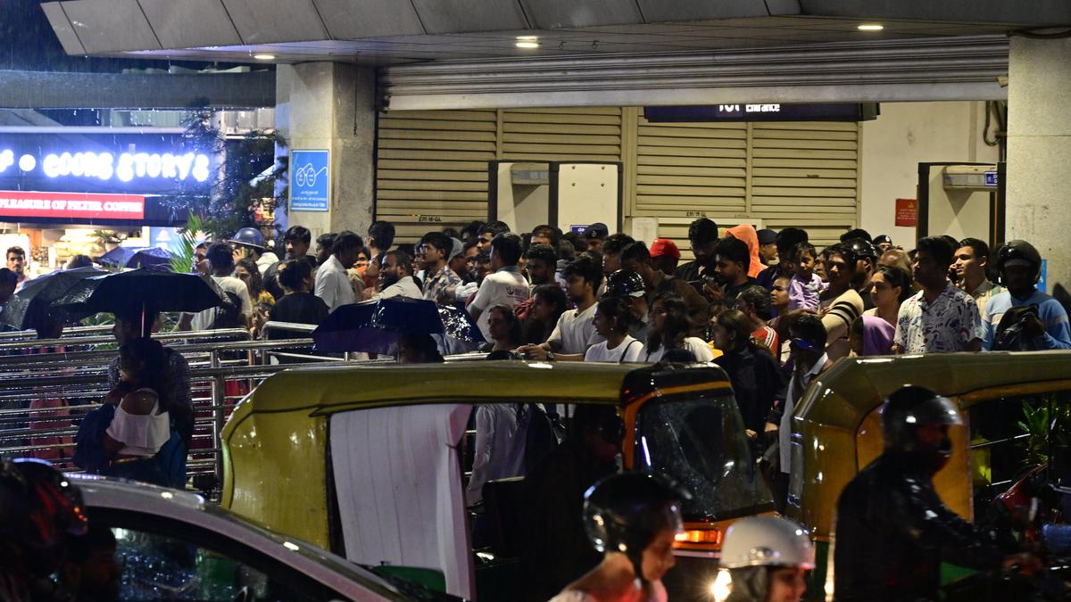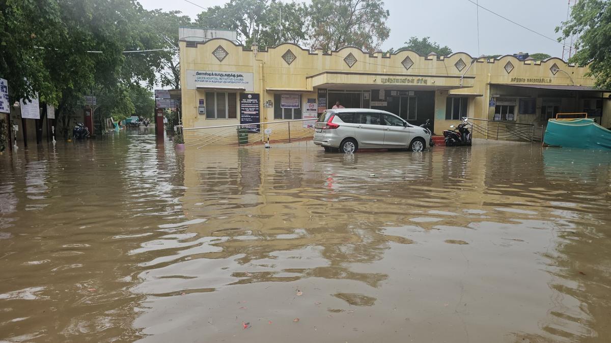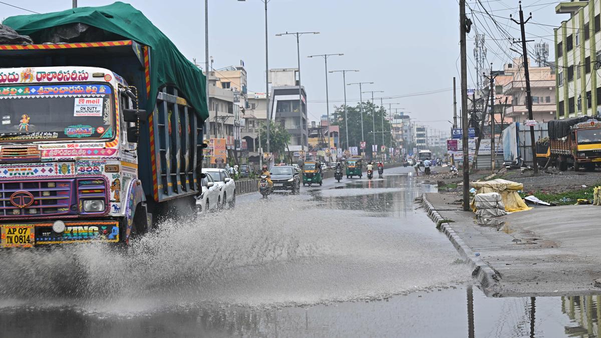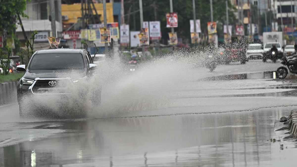

Many places across the State received moderate to heavy rainfall on Tuesday under the influence of a convection over the coastal Andhra Pradesh and Rayalaseema. Rain is likely to continue in the State for the next two days until May 22.
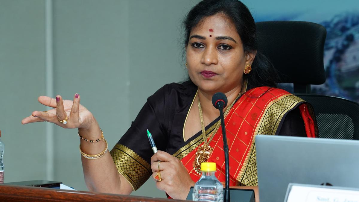
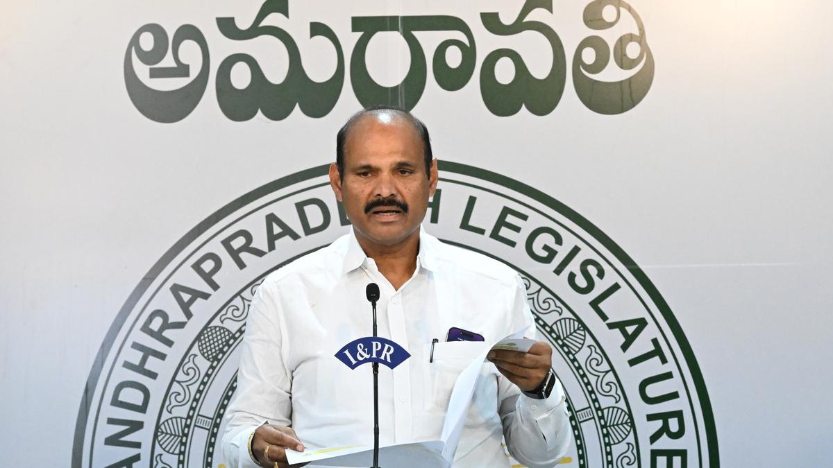
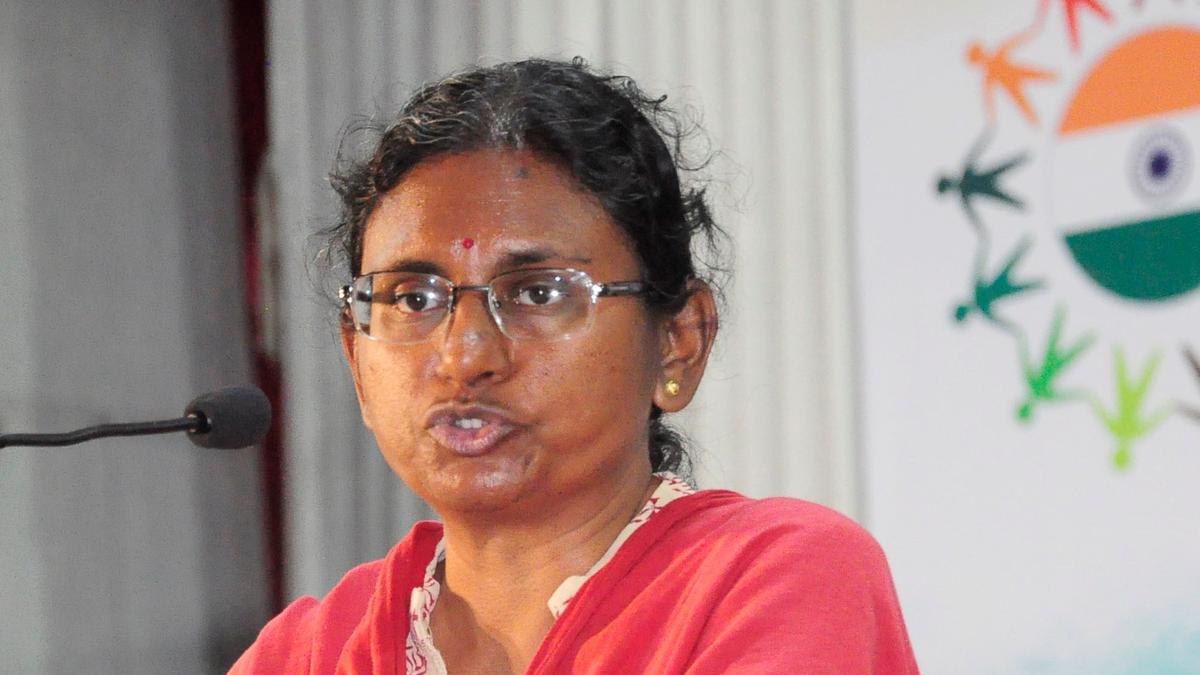
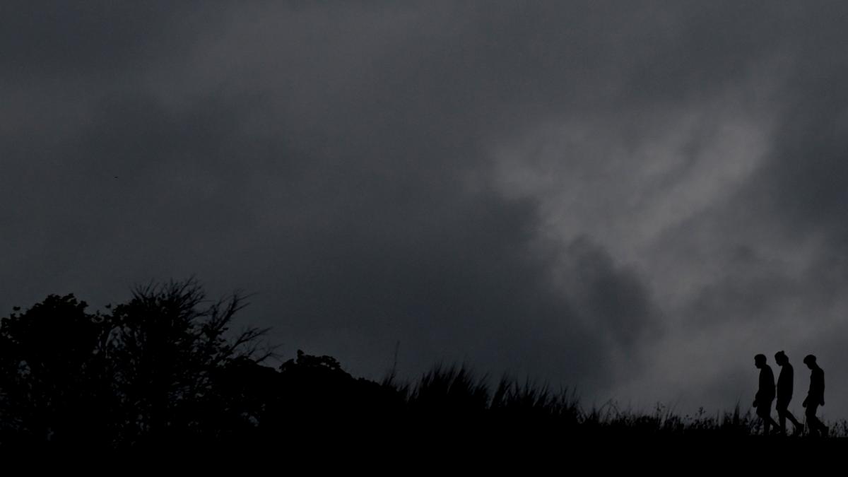
India Meteorological Department, Amaravati, Director S. Stella said there would be widespread moderate rain in the coastal region and Rayalaseema due to an upper air cyclonic circulation over the Westcentral Bay of Bengal and South Coastal Andhra Pradesh, which now lies over Westcentral Bay of Bengal and South Andhra Pradesh.
On Tuesday, the day’s highest of 71.5 mm of rainfall was recorded in Nitravatti of Kurnool district, followed by Karapa in Kakinada district where 65.25 mm was recorded and Katikapalli in Chittoor district where 58.25 mm of rainfall was recorded, according to the realtime rainfall information updated on the A.P. State Development and Planning Society between 8.30 a.m. and 9 p.m. on Tuesday.
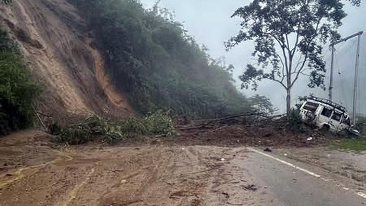
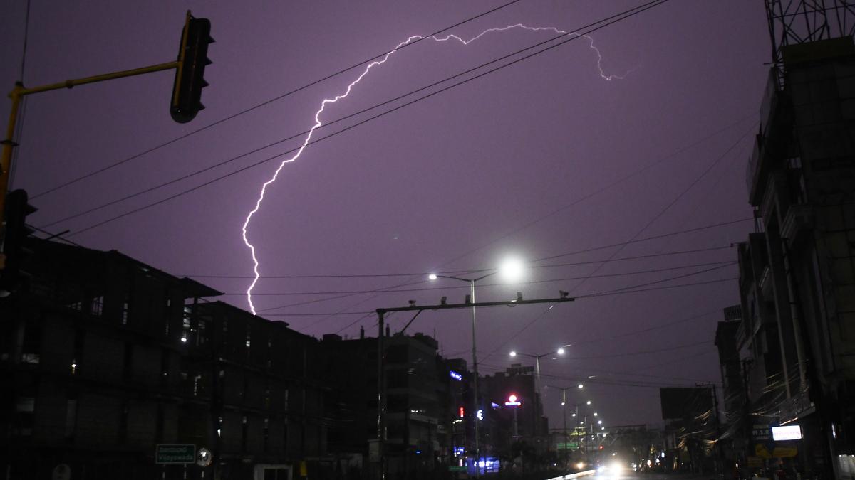
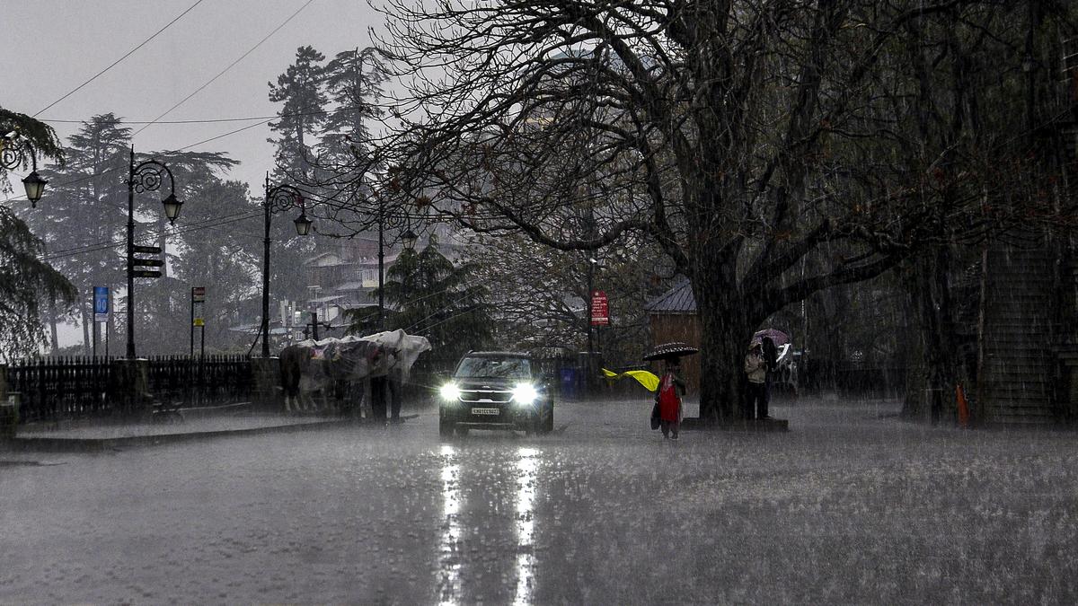
The IMD has said heavy to very heavy rain, accompanied with lightning, thunderstorms and gusty winds, is likely at isolated places across the State on May 21 and 22. Thereafter, until May 26, light rain is likely at isolated places in the State.
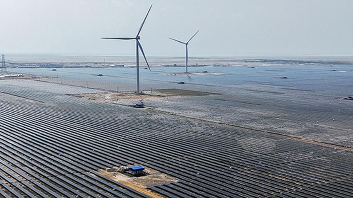
While the IMD has said the onset of Southwest Monsoon is likely in the next five days, earlier than the first announced date of May 27, there is no clarity yet on the arrival of the monsoon in the State.
Ms. Stella said a low pressure is likely to form on May 22 over the Karnataka coast that is likely to move northward and intensify further. “That might impact the progress of the monsoon in Andhra Pradesh. Firstly, we need to wait for the onset of the monsoon in Kerala and only then we can say when it is going to be in A.P.,” she said.
Published – May 21, 2025 08:35 am IST